 |
Georgia Central Railway Lines and Locations |
HawkinsRails thanks railfan photographer Samuel Latham for sharing his Georgia Central location shots

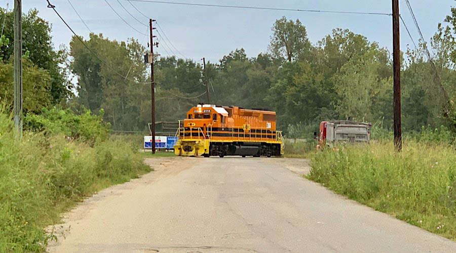
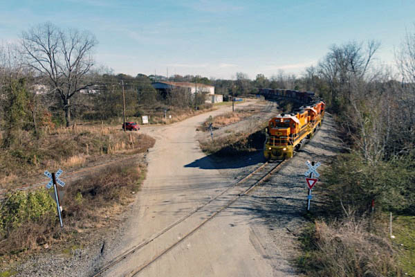
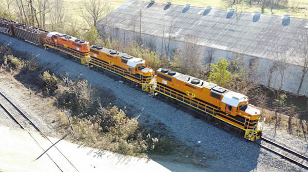
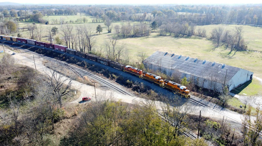
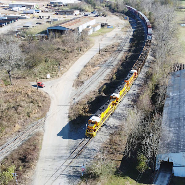
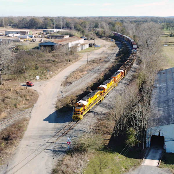
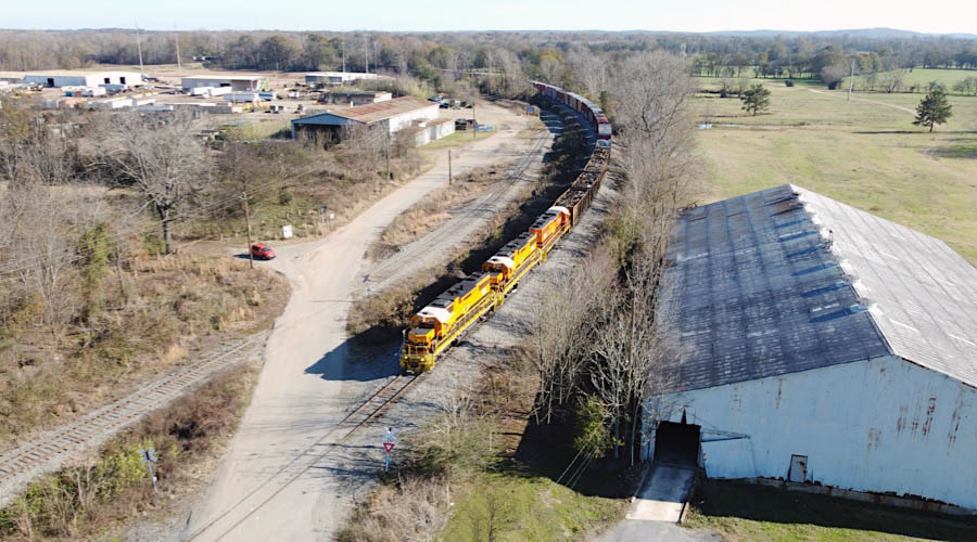
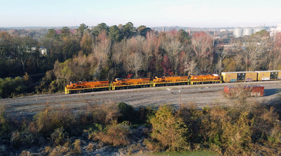
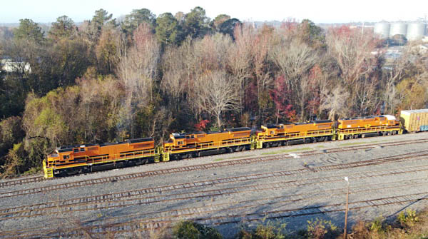
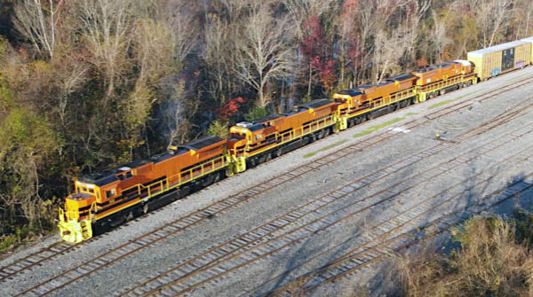
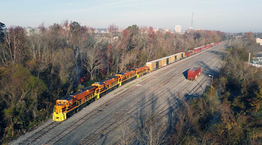
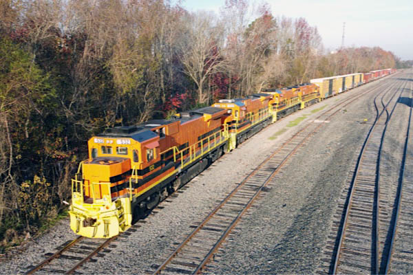
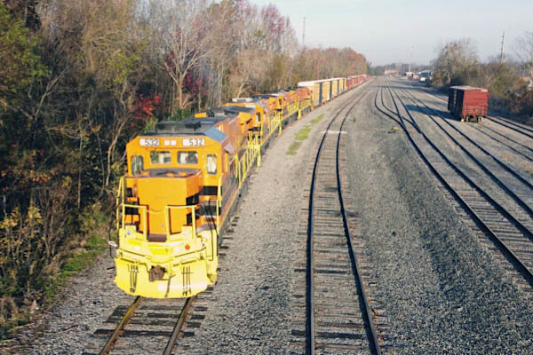
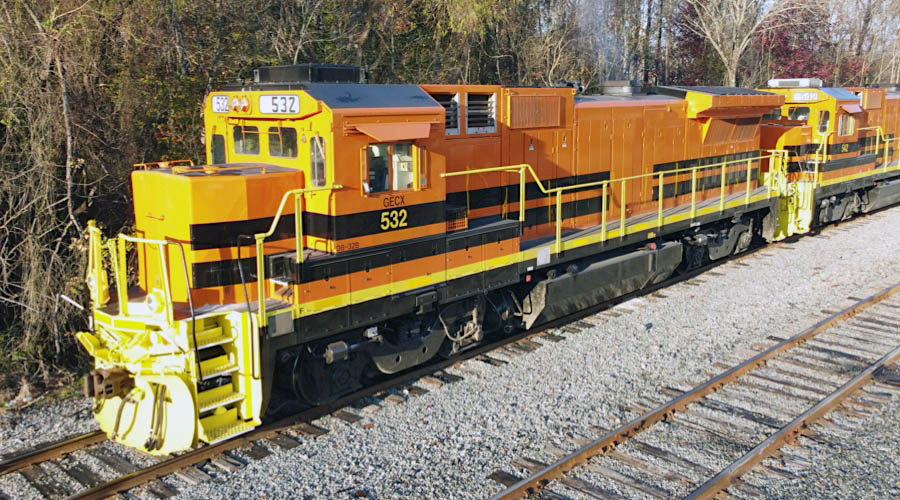
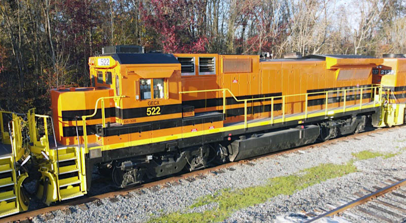
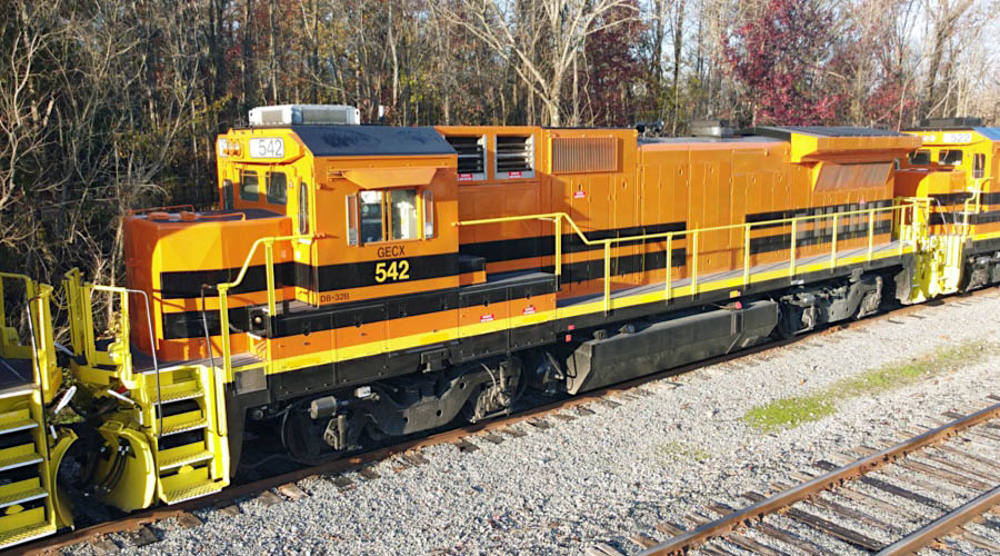
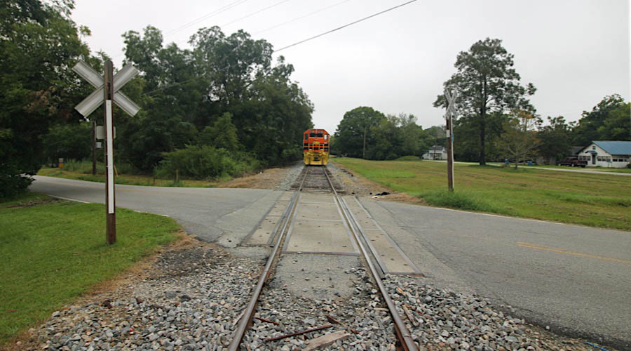
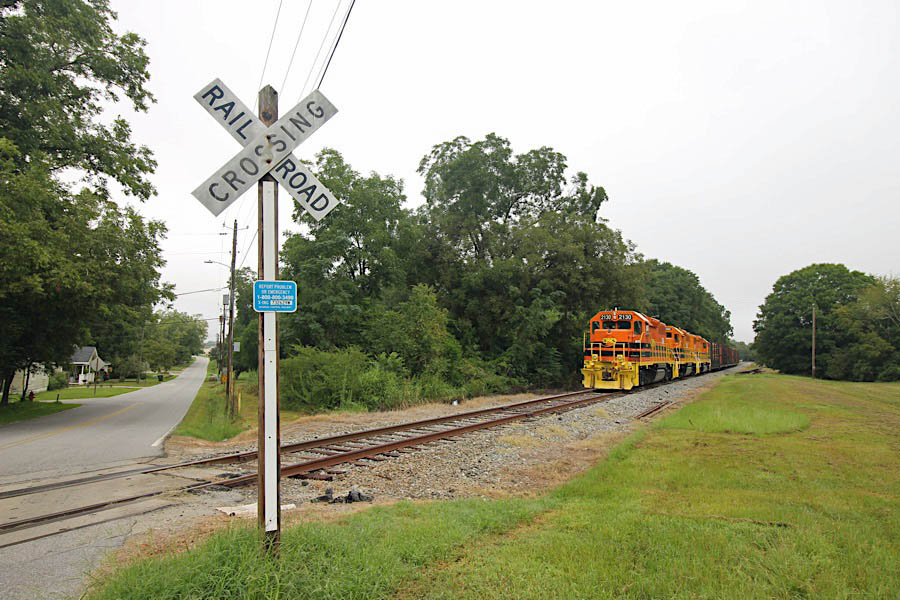
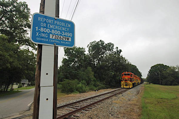
 Macon
Macon

 Macon was founded in 1823 on the banks of the Ocmulgee River, growing out of the 1806 frontier Fort Hawkins. The fort was named for an Indian Scout sent to the area to set up trading, and the city was named for a beloved North Carolinian statesman.
Prior to Fort Hawkins' establishment, the earliest European contact was in 1540 when Hernando DeSoto came through the area. North America's first Christian baptism was recorded when priests in DeSoto's band baptized two Indian boys in the Ocmulgee River near what is now Central City Park. However, Native Americans had inhabited the area for as many as 10,000 years before that as evidenced by the discovery of clovis points at the archaeologically significant Ocmulgee Mounds National Historical Park.
Union General George Stoneman came close to Macon, but the city was defended three times before surrendering at the close of the Civil War, preserving its neighborhoods of classic Greek revival and Victorian-style homes. Today, Macon is a city of diverse cultures, beautiful architecture, an exciting music heritage and thriving arts and educational opportunities.
Macon was founded in 1823 on the banks of the Ocmulgee River, growing out of the 1806 frontier Fort Hawkins. The fort was named for an Indian Scout sent to the area to set up trading, and the city was named for a beloved North Carolinian statesman.
Prior to Fort Hawkins' establishment, the earliest European contact was in 1540 when Hernando DeSoto came through the area. North America's first Christian baptism was recorded when priests in DeSoto's band baptized two Indian boys in the Ocmulgee River near what is now Central City Park. However, Native Americans had inhabited the area for as many as 10,000 years before that as evidenced by the discovery of clovis points at the archaeologically significant Ocmulgee Mounds National Historical Park.
Union General George Stoneman came close to Macon, but the city was defended three times before surrendering at the close of the Civil War, preserving its neighborhoods of classic Greek revival and Victorian-style homes. Today, Macon is a city of diverse cultures, beautiful architecture, an exciting music heritage and thriving arts and educational opportunities.
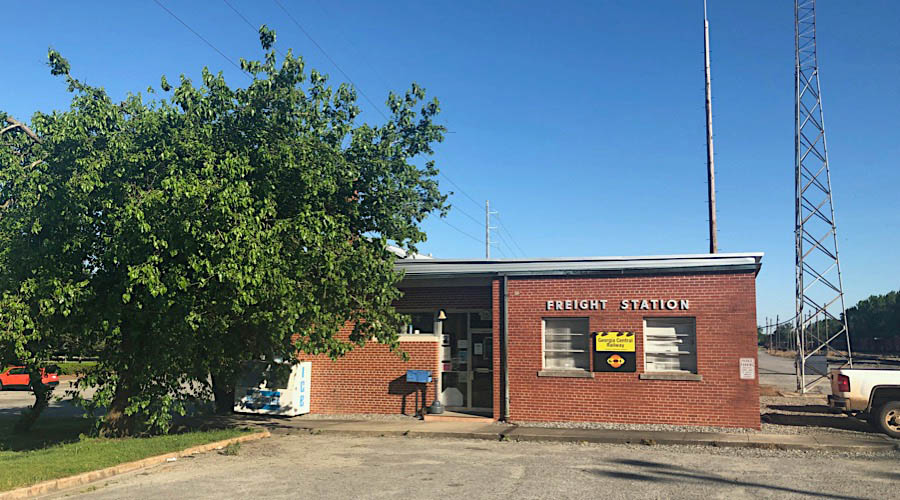
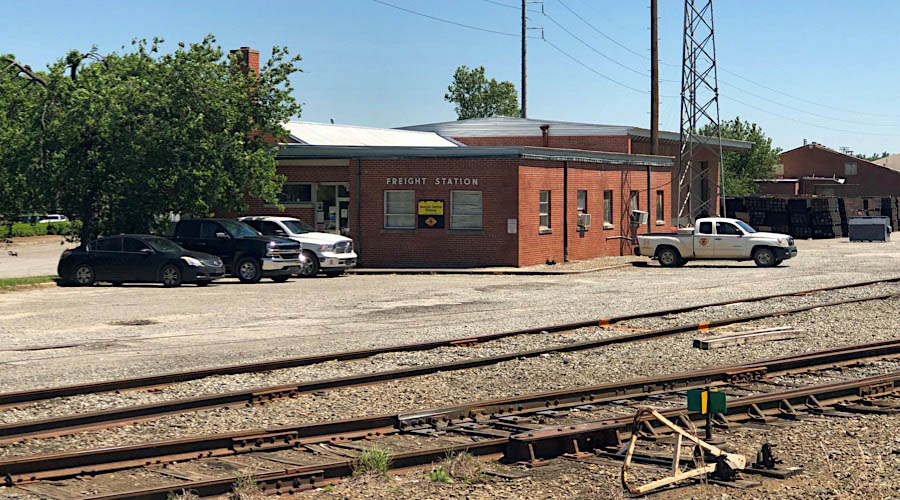
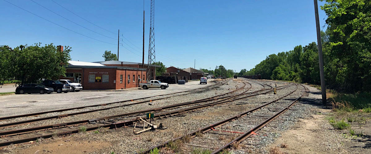
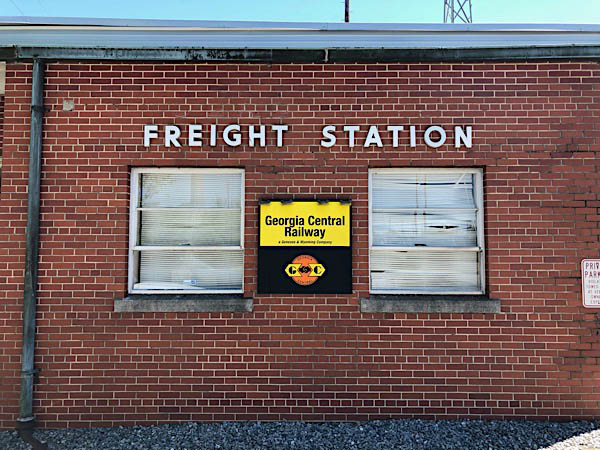
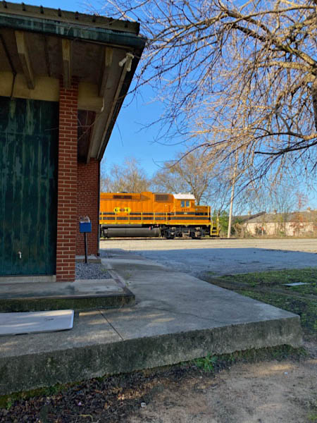
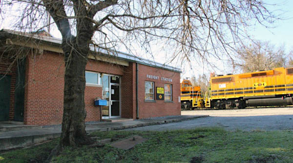
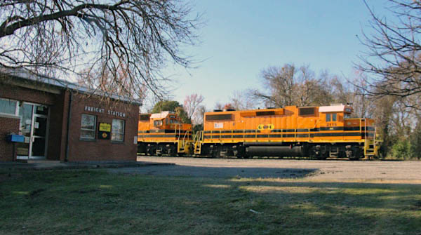
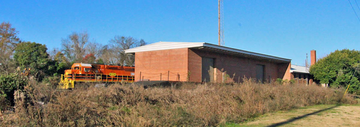
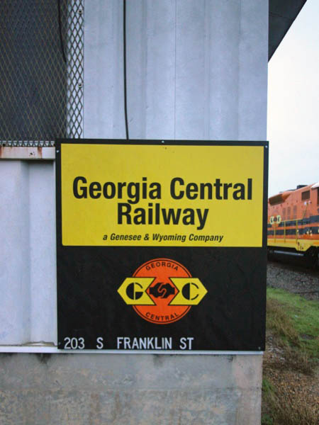
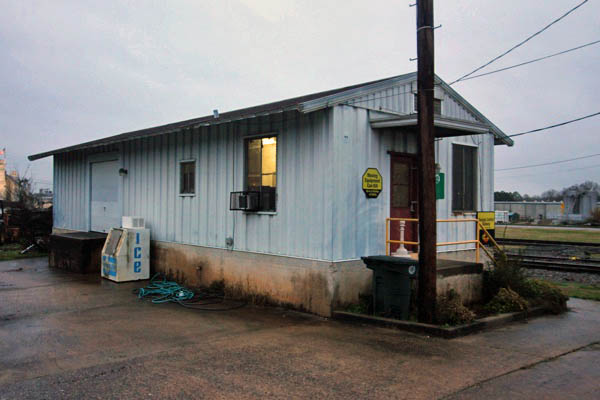
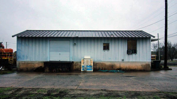
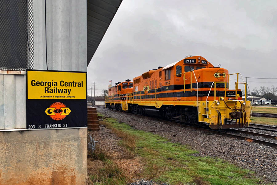
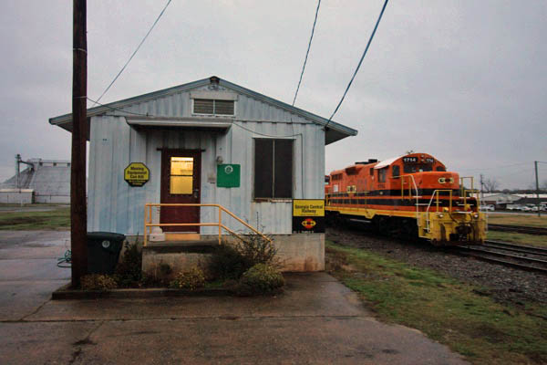
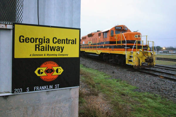
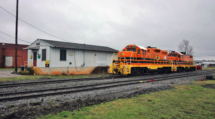
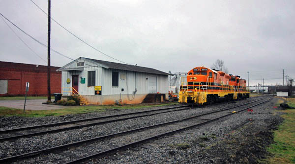
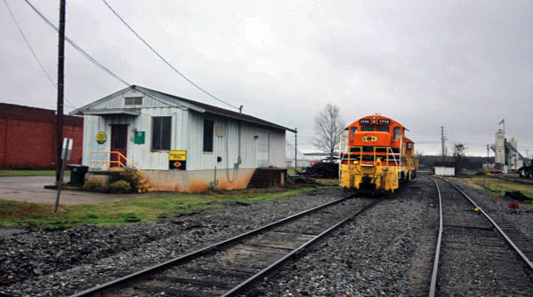
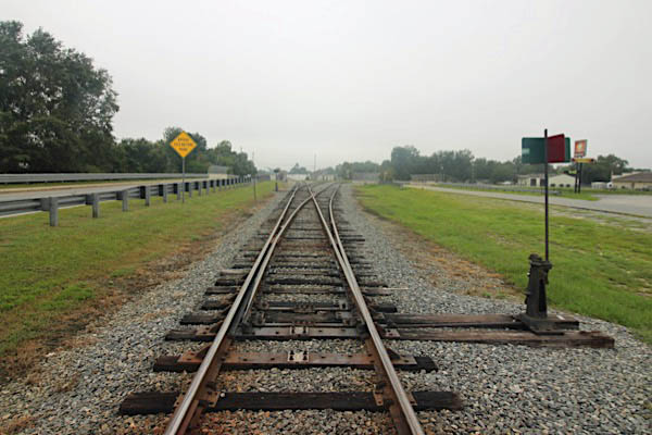
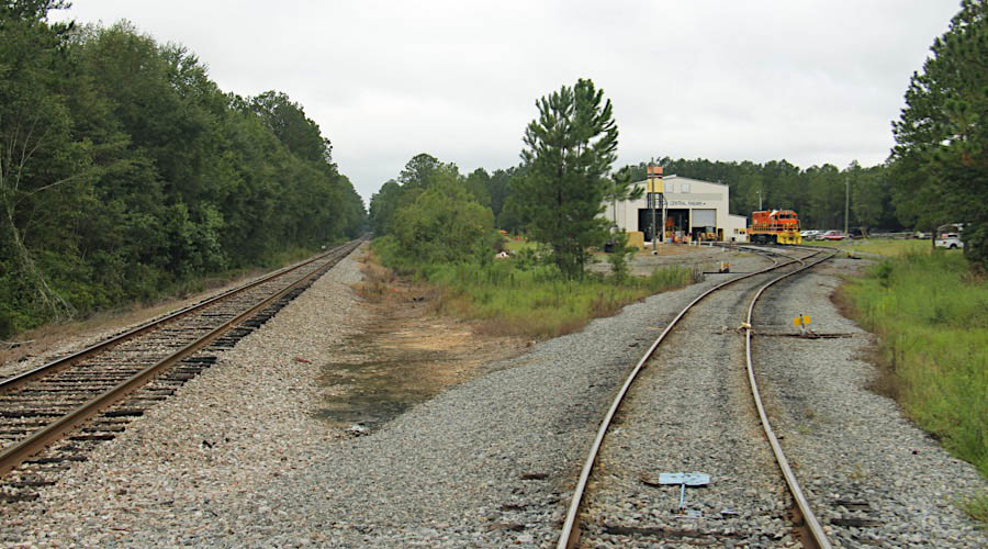
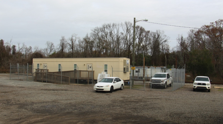
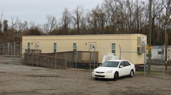
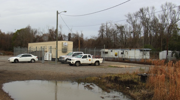
GC yard office / Macon, Ga / Apr 2019 / RWH
Apr 2019 / RWH
Click to see the Georgia Central Macon Yard area plotted on a Google Maps page
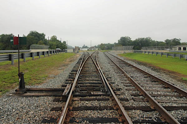
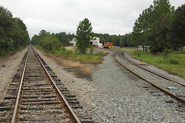
Macon, Ga / Apr 2019 / RWH
Macon Yard / Macon, Ga / Apr 2019 / RWH
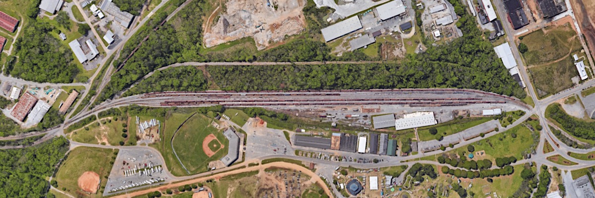
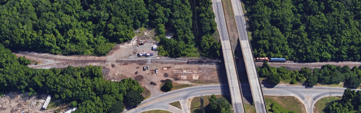
Macon Yard overhead / Google Maps
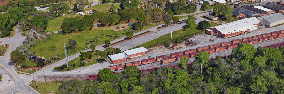
Macon Yard Office overhead / Google Maps
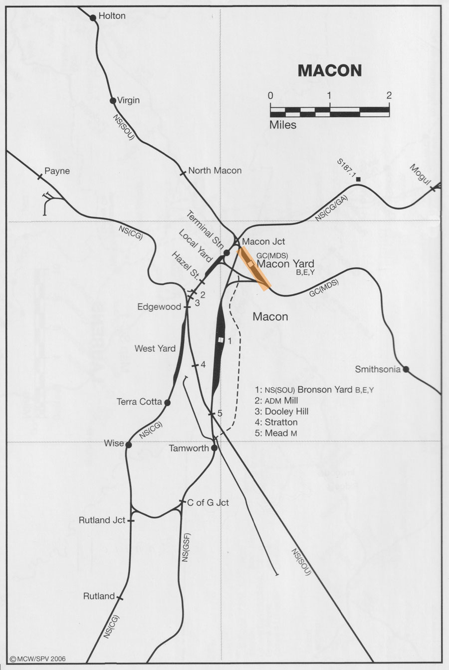
from SPV Comprehensive Railroad Atlas
/ collection
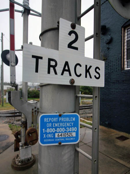
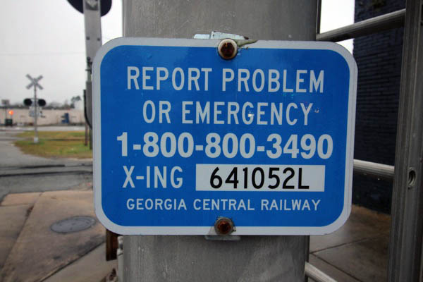
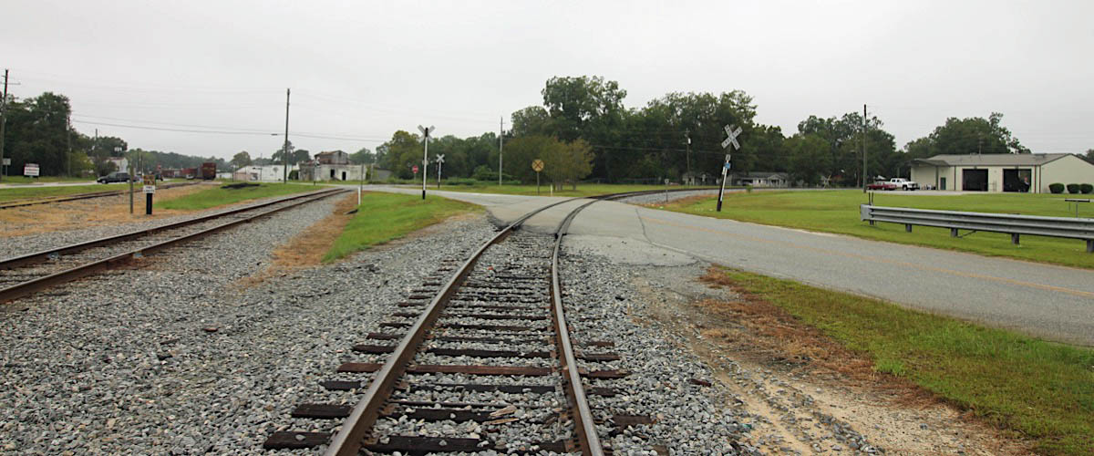
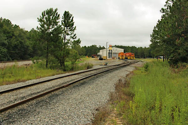
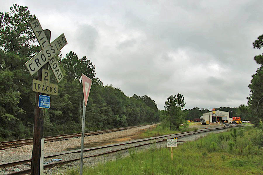
Macon, Ga / Apr 2019 / RWH
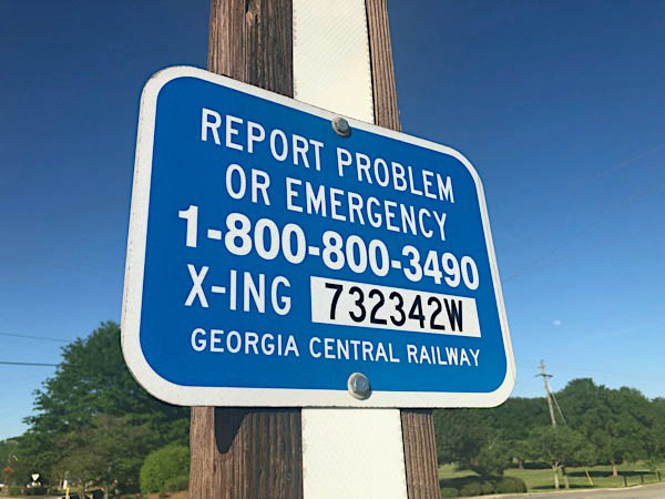
Macon, Ga / Apr 2019 / RWH
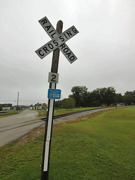
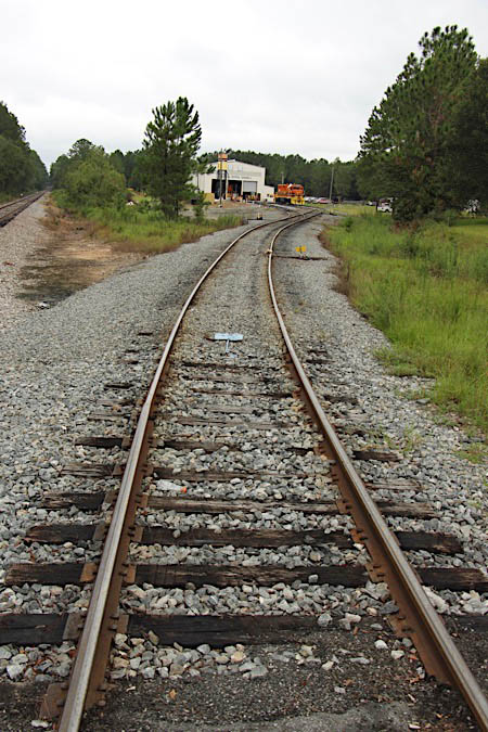
Macon, Ga / Jan 2020 / RWH
Macon, Ga / Jan 2020 / RWH
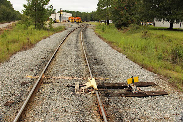
Macon, Ga / Jan 2020 / RWH
Macon, Ga / Jan 2020 / RWH
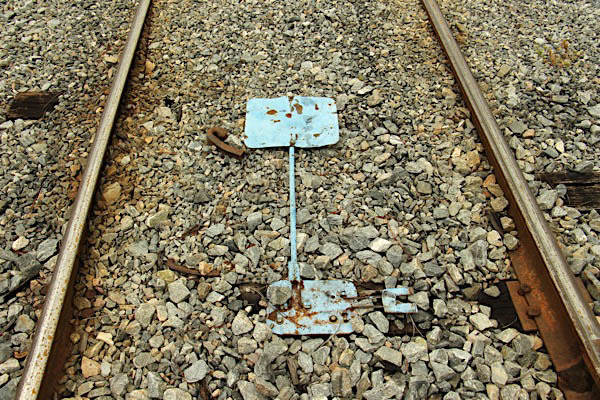
Macon, Ga / Jan 2020 / RWH
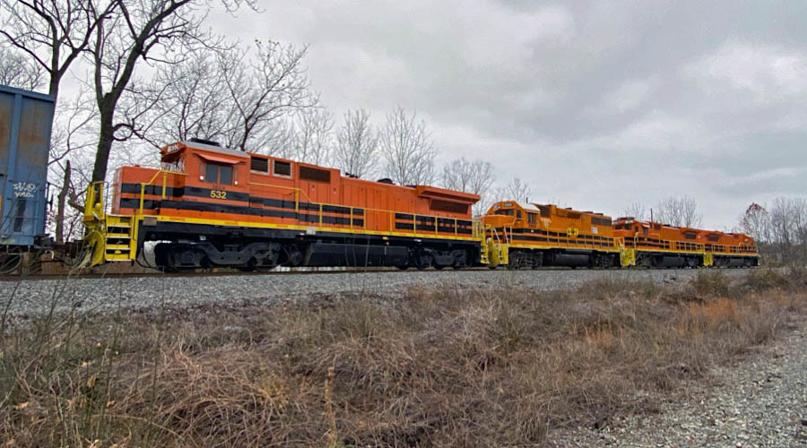
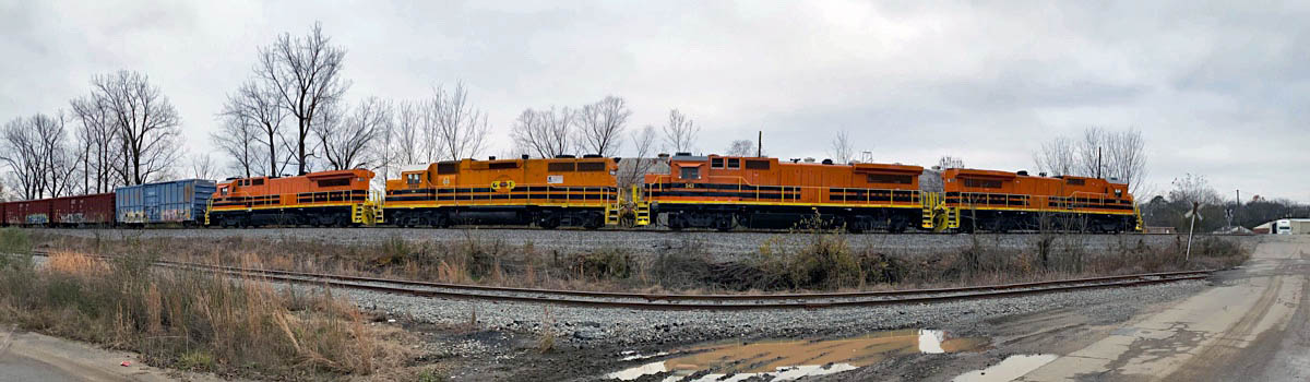
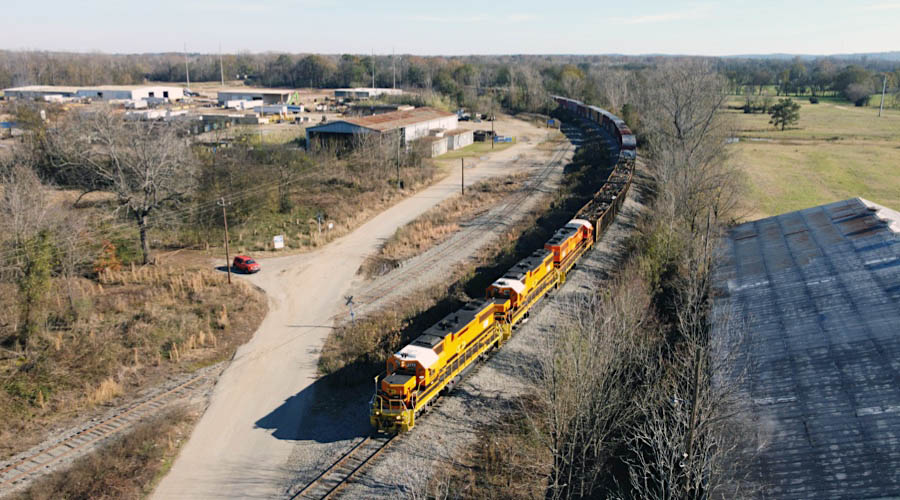
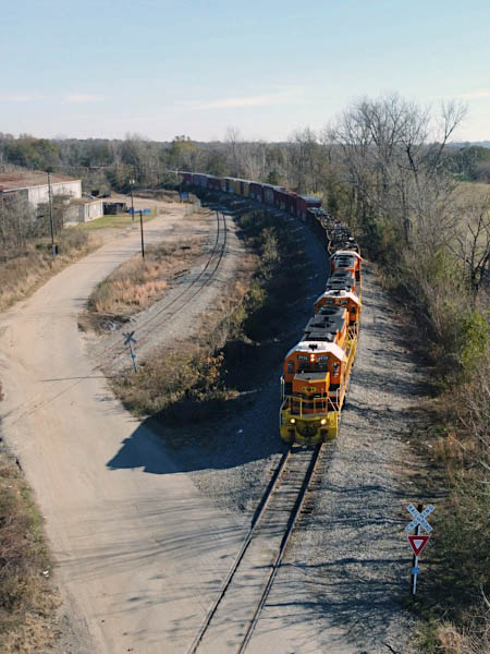
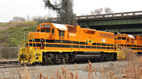
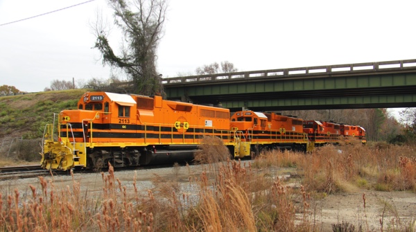
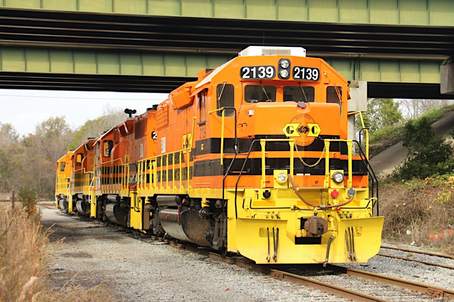
Macon, Ga / Dec 2020 / RWH
Macon, Ga / Dec 2020 / RWH
Macon, Ga / Dec 2020 / RWH
Macon, Ga / Dec 2020 / RWH
Macon, Ga / Dec 2020 / RWH
Macon, Ga / Dec 2020 / RWH
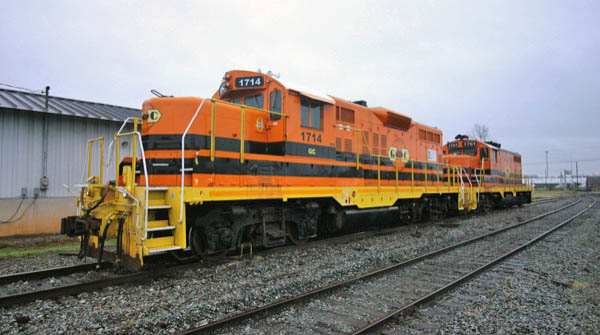
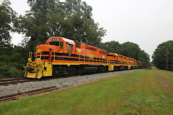
Macon, Ga / Apr 2019 / RWH
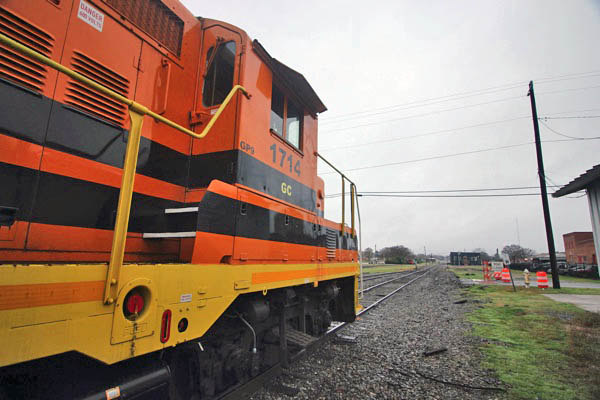
Macon, Ga / Aug 2019 / RWH
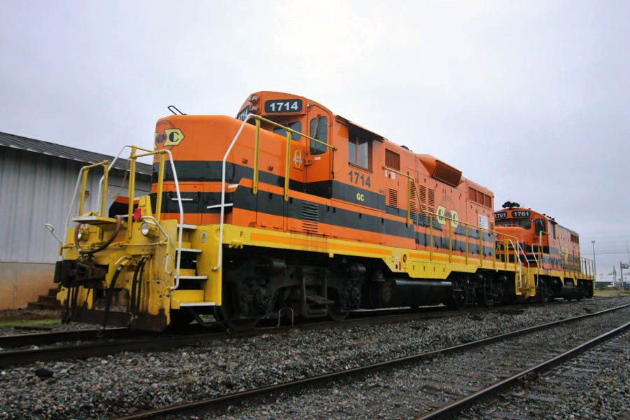
Macon, Ga / Nov 2018 / RWH
Macon, Ga / Nov 2018 / RWH
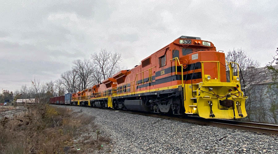
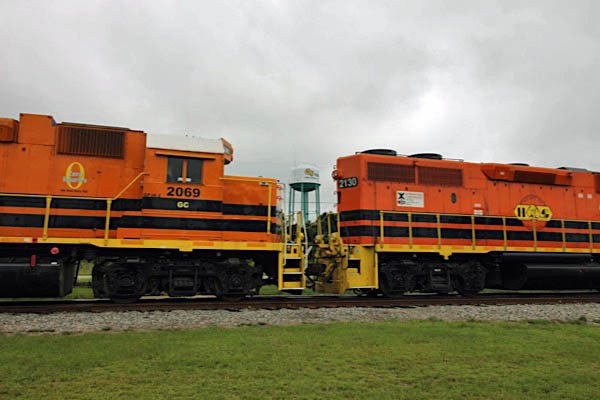
Macon, Ga / Sep 2019 / RWH
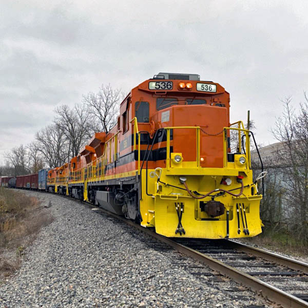
Macon, Ga / Sep 2019 / RWH
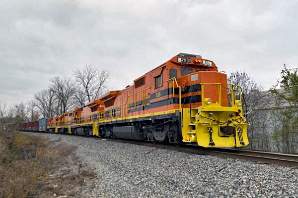
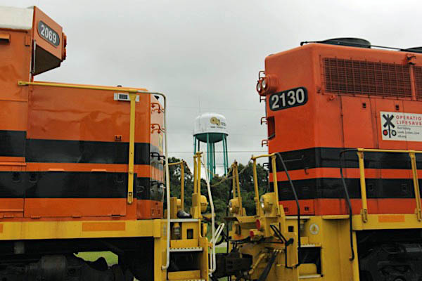
Macon, Ga / Sep 2019 / RWH
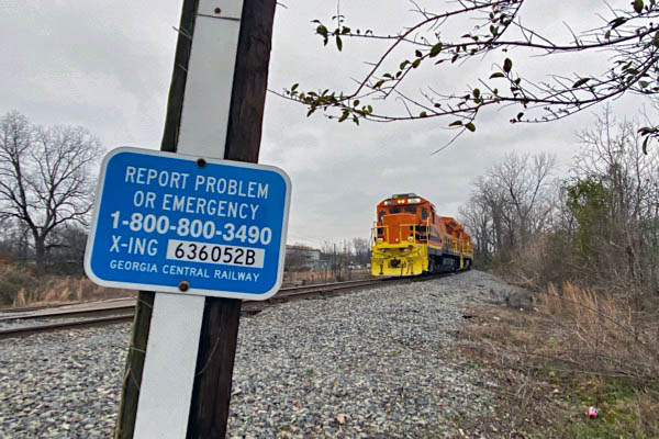
Macon, Ga / Sep 2019 / RWH
Macon, Ga / Sep 2019 / RWH

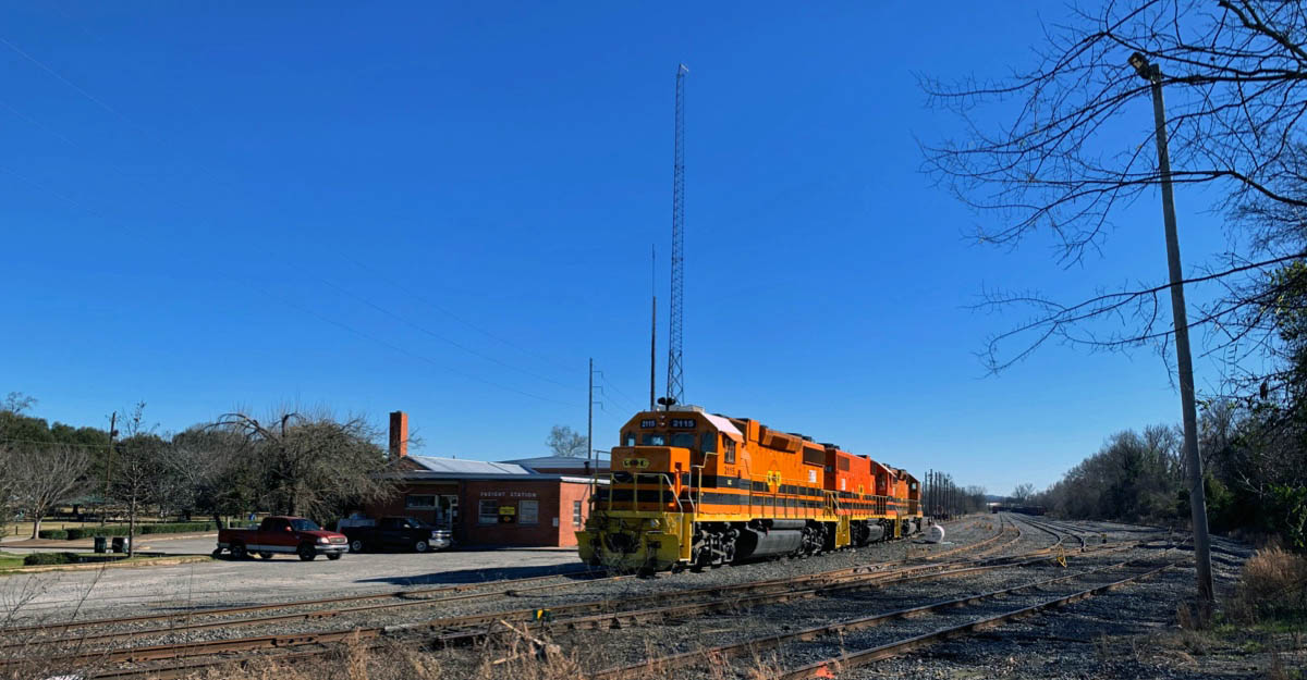
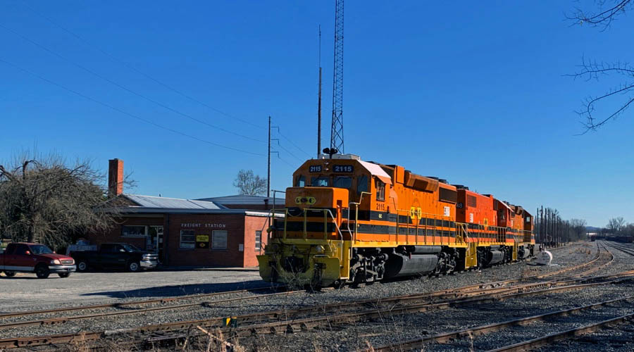
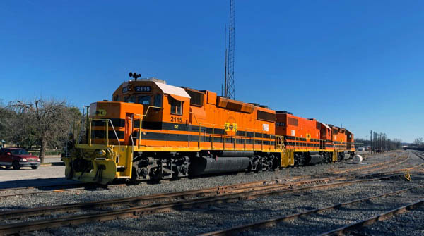
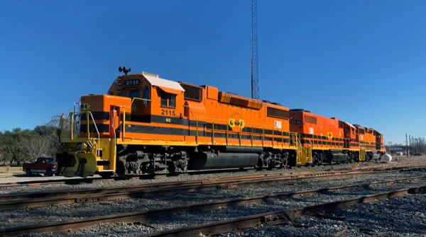
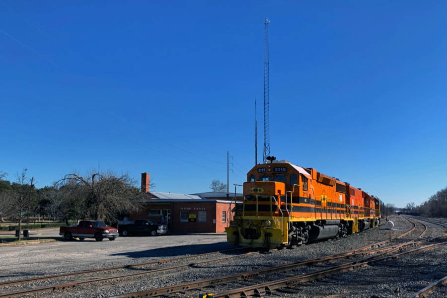
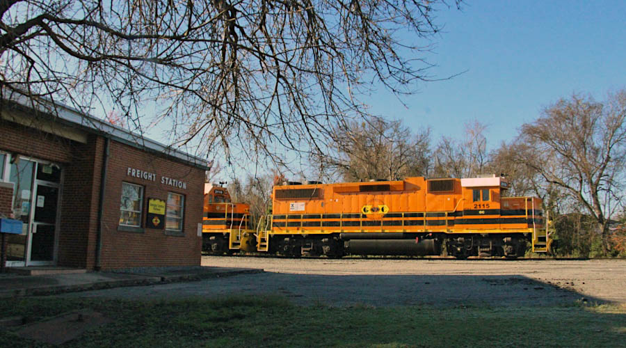
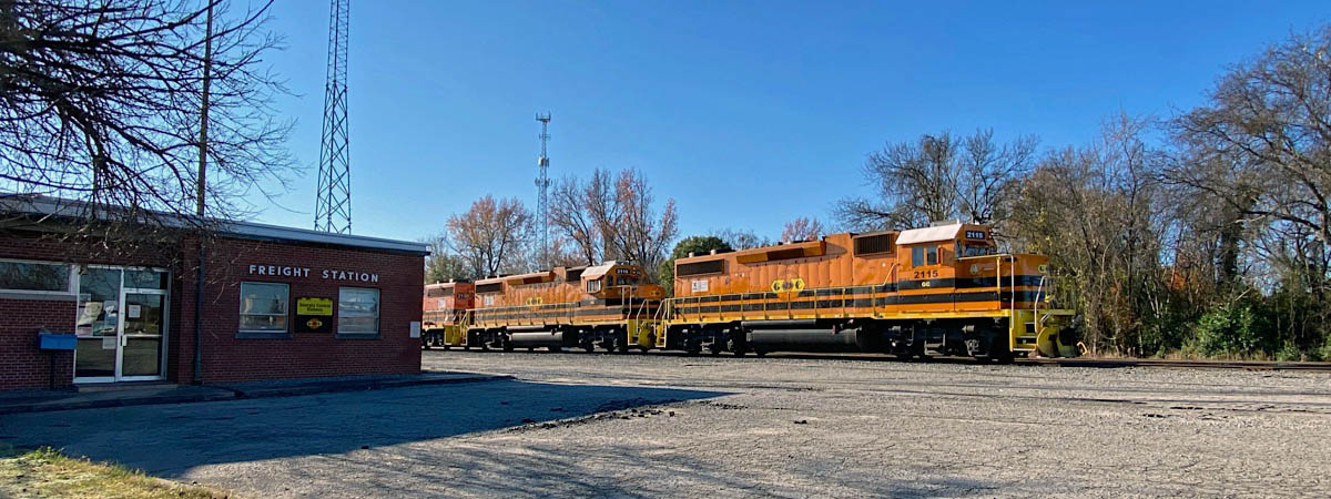
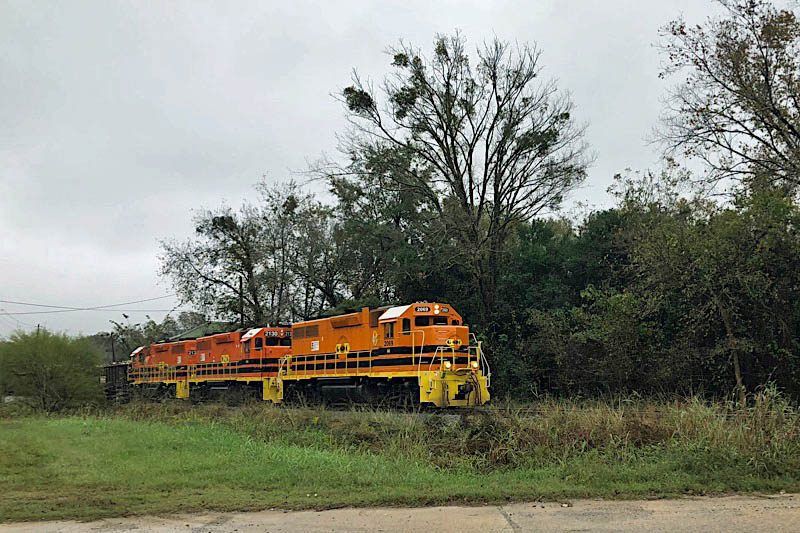
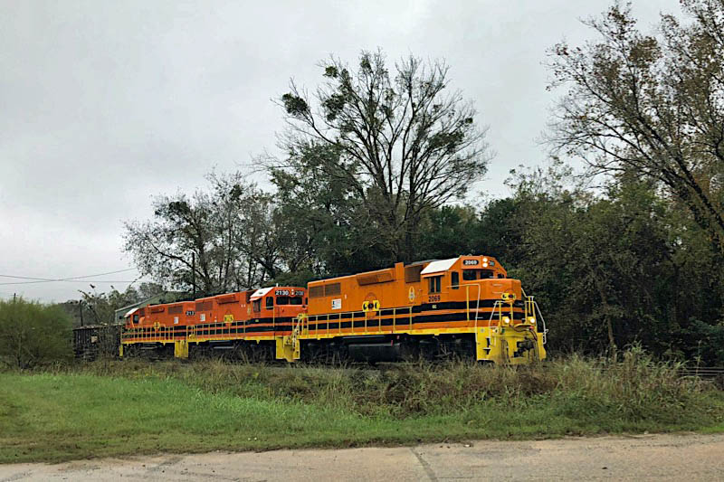
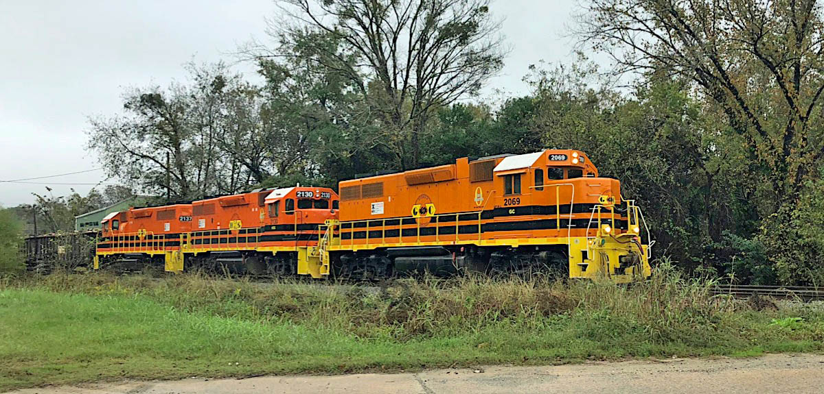
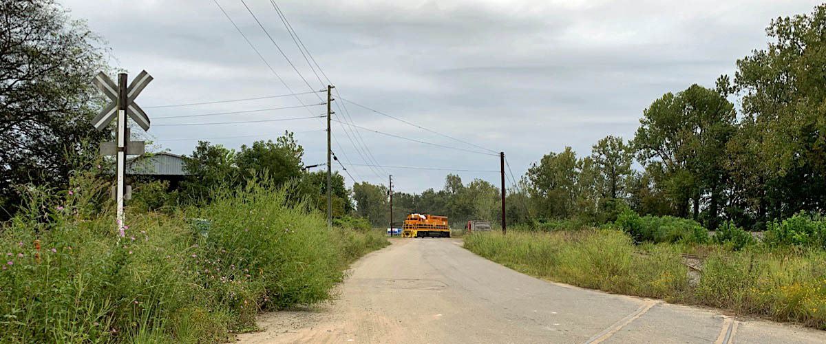
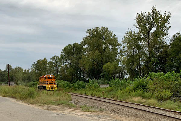
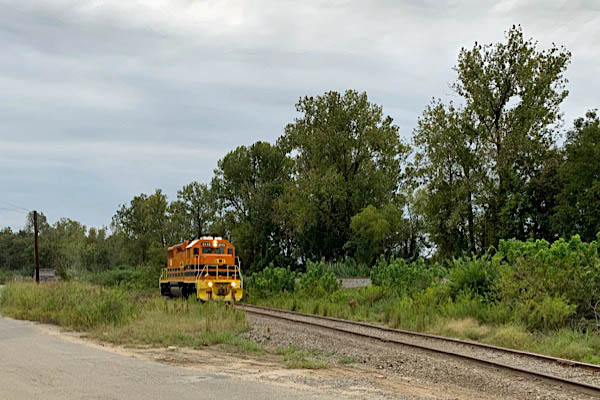
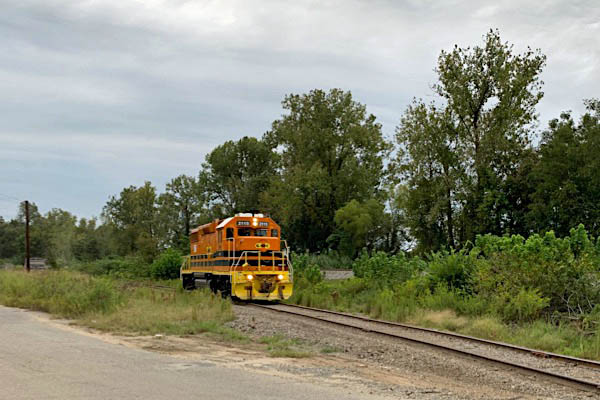
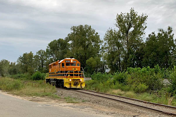
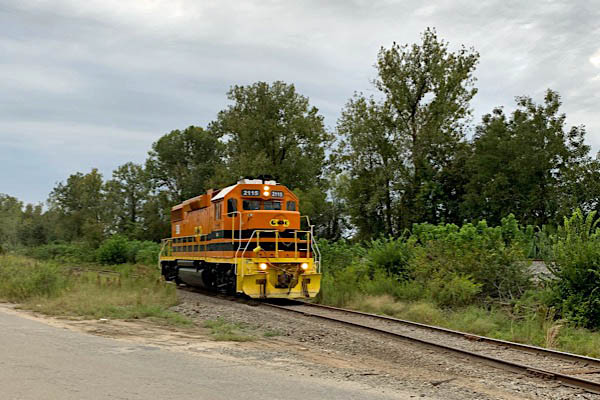
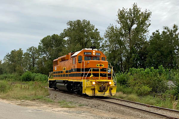
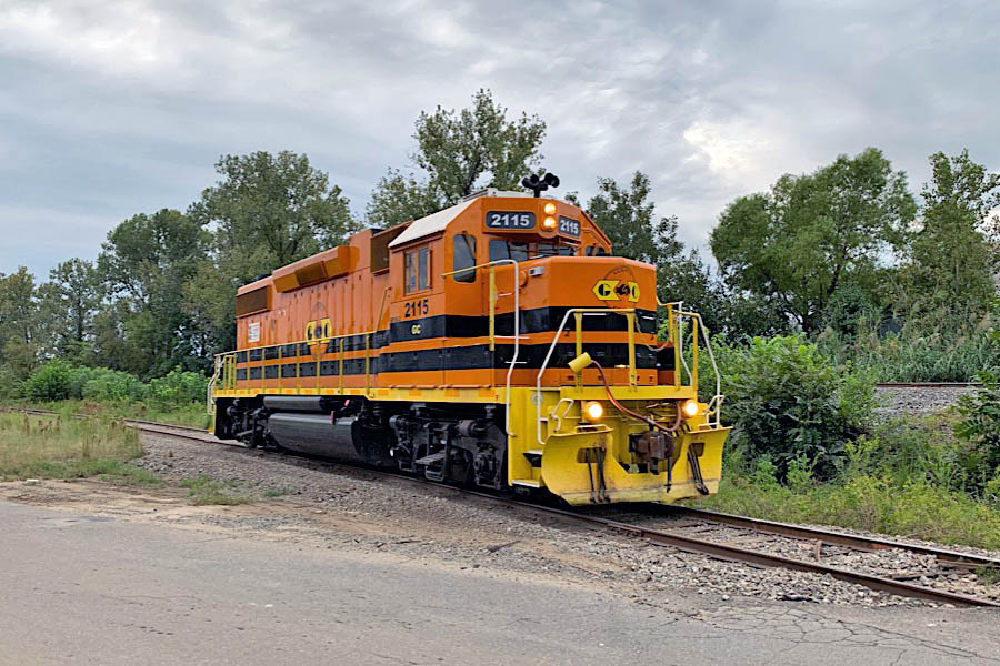
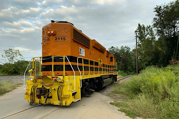
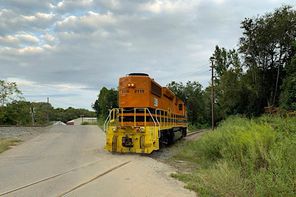
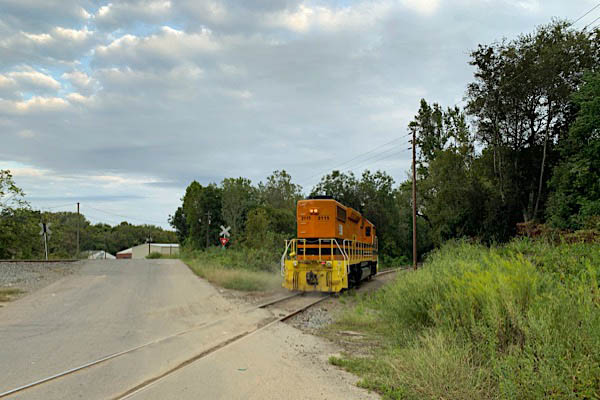
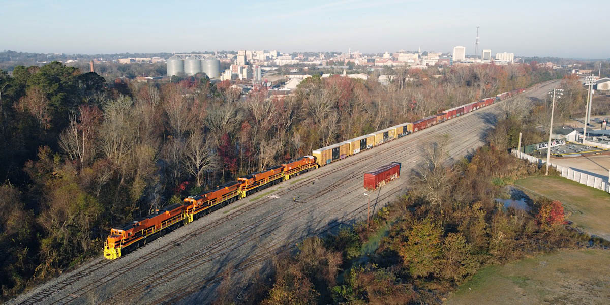
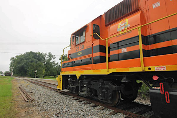
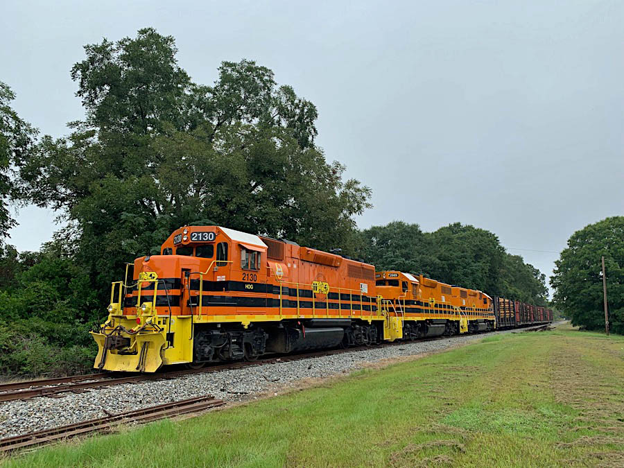
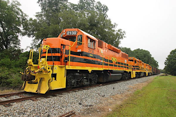
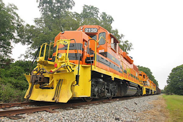
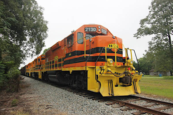
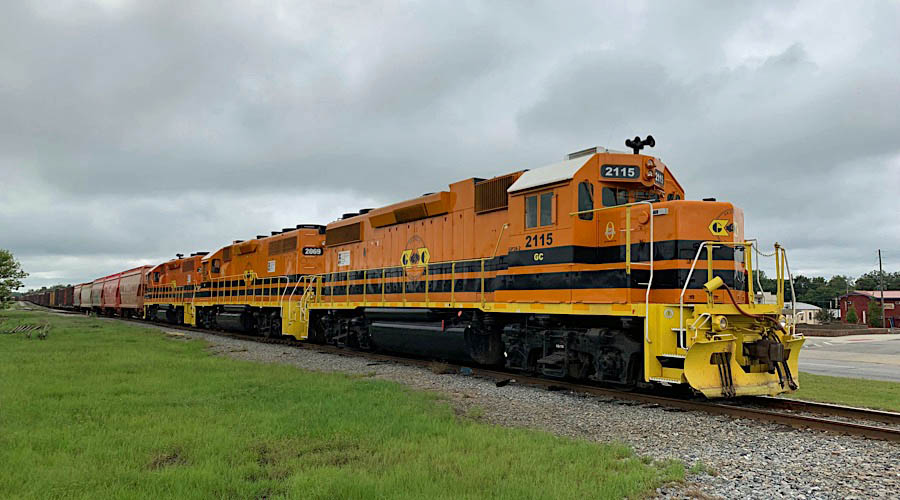
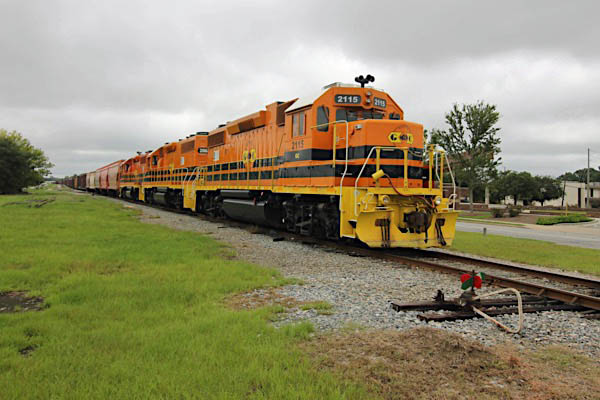
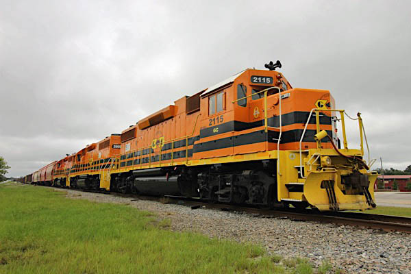
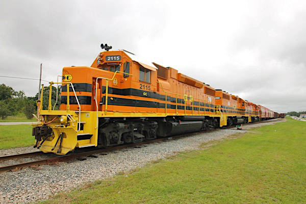
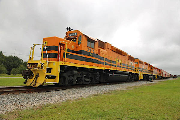
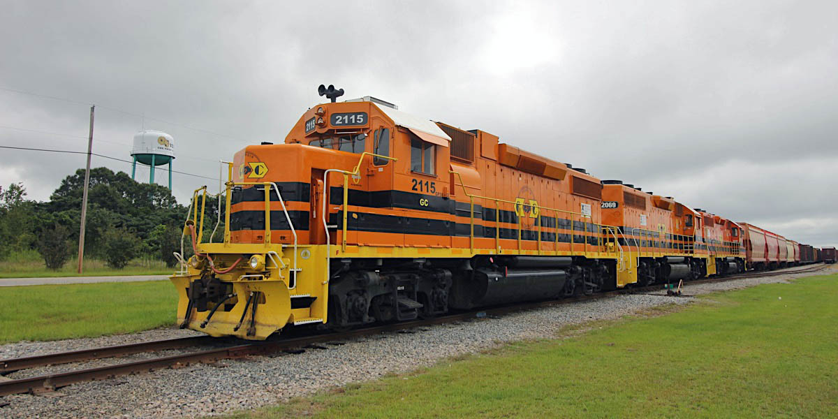
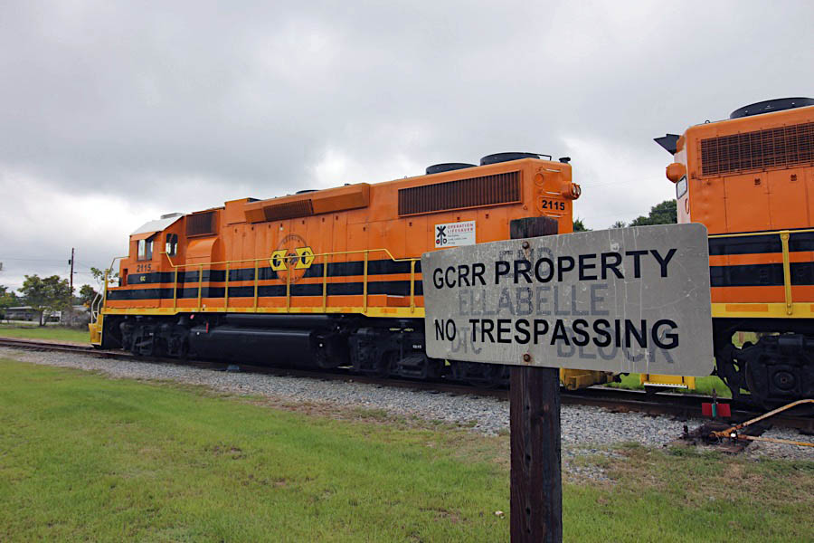
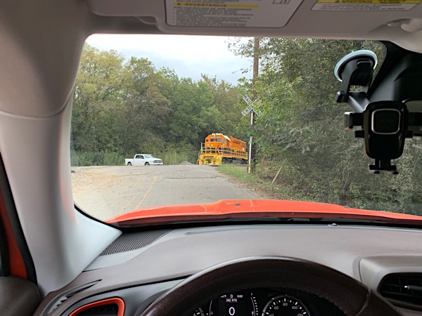 Two or three times a week, after dropping off my kid at her high school, my morning routine includes securing an Iced Coffee from the Double D, then a drive through the south side of downtown Macon to see what the Georgia Central has been up to the night before. Lately, most of their originating and terminating freights depart/arrive at night in Macon, so a morning drive-by on public roads usually only means a survey of tied-down power. But every now and then I get lucky in the morning light ... such as the other day when I found #2115 working an industrial siding just south of the Macon yard. Switching done there for the morning, the crew brought her back up to the edge of Central City Park, cut off the fuel, and dropped anchor for the morning. Light move over.
Iced Coffee and a Pumpkin Mover: not a bad way to start another day.
Macon, Ga / Dec 2020 / RWH
Click to see this location plotted on a Google Maps page
Macon, Ga / Dec 2020 / RWH
Macon, Ga / Dec 2020 / RWH
Macon, Ga / Dec 2020 / RWH
Macon, Ga / Dec 2020 / RWH
Macon, Ga / Dec 2020 / RWH
Macon, Ga / Dec 2020 / RWH
Macon, Ga / Dec 2020 / RWH
Macon, Ga / Dec 2020 / RWH
Macon, Ga / Dec 2020 / RWH
Macon, Ga / Dec 2020 / RWH
Macon, Ga / Dec 2020 / RWH
Macon, Ga / Dec 2020 / RWH
Macon, Ga / Dec 2020 / RWH
Macon, Ga / Dec 2020 / RWH
Macon, Ga / Dec 2020 / RWH
Macon, Ga / Dec 2020 / RWH
Macon, Ga / Dec 2020 / RWH
Macon, Ga / Dec 2020 / RWH
Macon, Ga / Dec 2020 / RWH
Macon, Ga / Dec 2020 / RWH
Macon, Ga / Dec 2020 / RWH
Dublin
 The City of Dublin was incorporated by the Georgia Assembly on December 9th, 1812, and made the county seat. It is said that a citizen, Jonathan Sawyer, named it Dublin after the capital of his Irish homeland.
Centrally located in Middle Georgia, Dublin, chosen as a "City of Excellence" by Georgia Trend Magazine in January 2000, is strategically situated at the junction of Interstate 16 and U.S. Highway 441 and 319. U.S. 80 provides easy access from both east and west. The network of highways makes travel pleasant to major Georgia cities. 55 Minutes to Macon, 1 hour 55 minutes to the Atlanta Airport, and 1 hour 45 minutes to Savannah. Dublin was also selected as a Signature Community in January of 2007 by the Georgia Department of Community Affairs.
Dublin-Laurens County offers something for everyone. The wonderfully mild climate of Middle Georgia creates a haven for the sportsman who enjoys tennis, golf, fishing, or hunting. If you enjoy shopping, you'll find plenty of opportunities to do so at over 400 stores, including Dublin Mall. Our historic downtown is a busy retail center filled with shops, new parking areas, a plaza area with fountains, restaurants, the renovated Theatre Dublin and the Dublin-Laurens County Historical Museum.
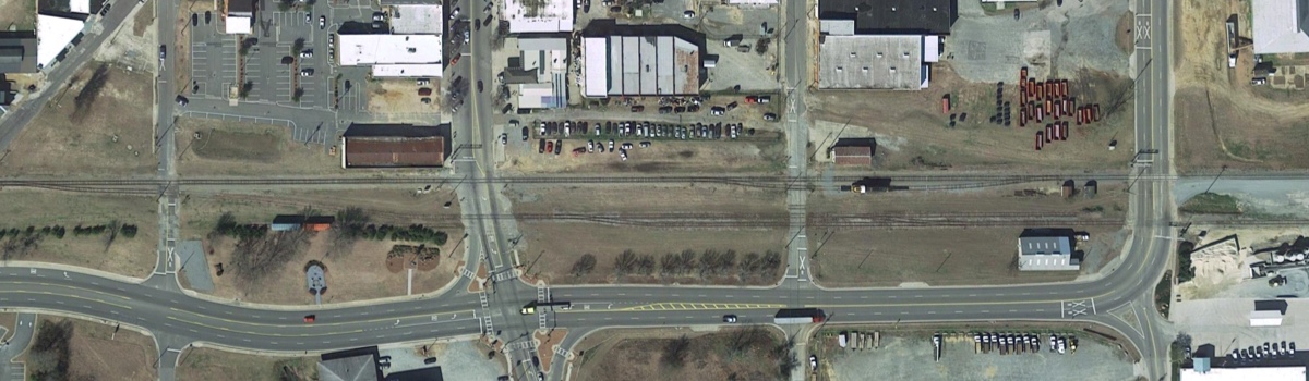
Dublin yard area overhead / Google Maps
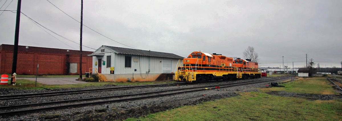
Dublin, Ga / Dec 2019 / RWH
Click to see the Dublin yard area plotted on a Google Maps page
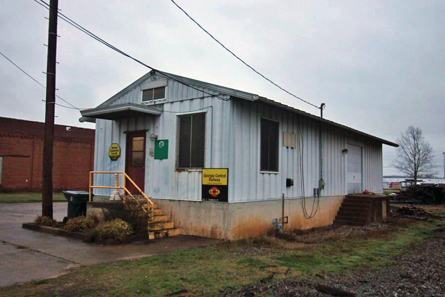
Dublin, Ga / Dec 2019 / RWH
Dec 2019 / RWH
Dublin, Ga / Dec 2019 / RWH
Dublin, Ga / Dec 2019 / RWH
Dublin, Ga / Dec 2019 / RWH
Dublin, Ga / Dec 2019 / RWH
Dublin, Ga / Dec 2019 / RWH
Dublin, Ga / Dec 2019 / RWH
Dublin, Ga / Dec 2019 / RWH
Dublin, Ga / Dec 2019 / RWH
Dublin, Ga / Dec 2019 / RWH
Dublin, Ga / Dec 2019 / RWH
Dublin, Ga / Dec 2019 / RWH
Dec 2019 / RWH
Dublin, Ga / Dec 2019 / RWH
Dublin, Ga / Dec 2019 / RWH
Click to see the Dublin Railroad Park plotted on a Google Maps page
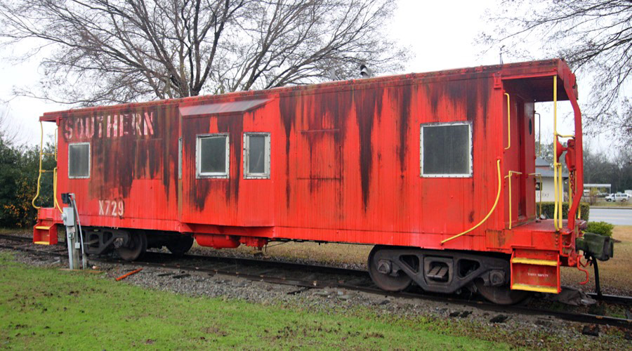
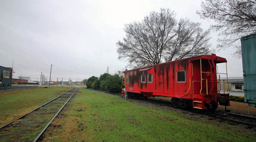
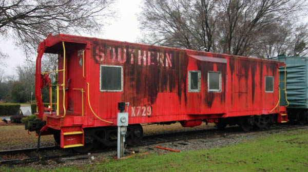
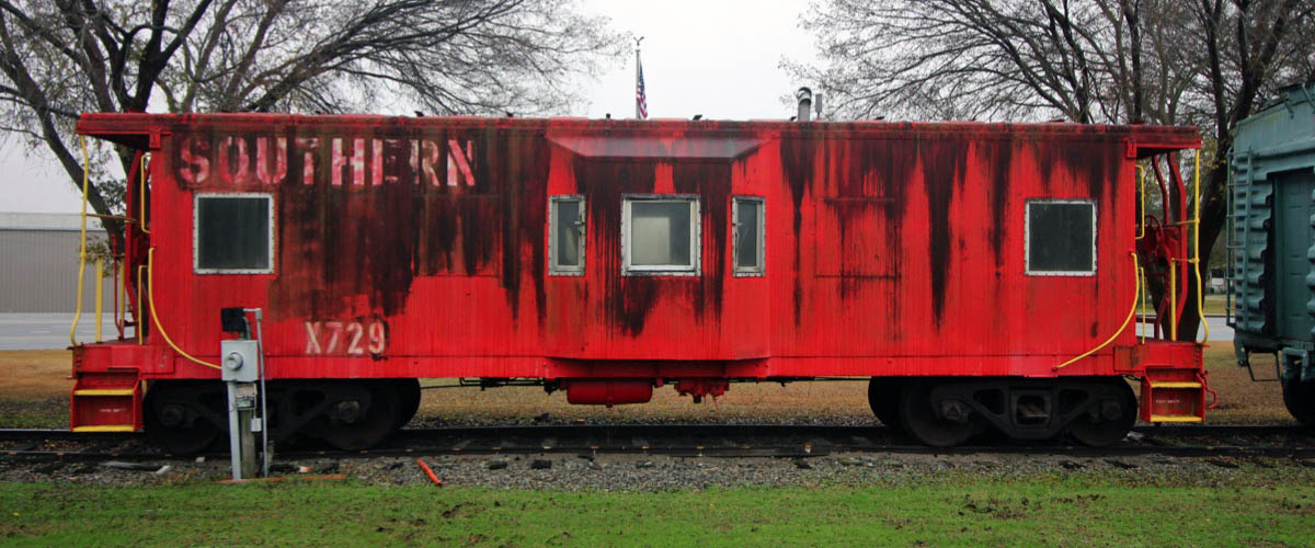
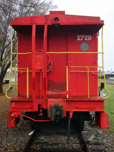
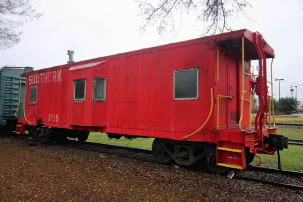
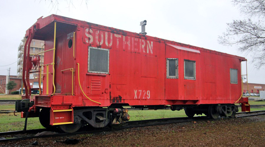
Southern Railway #X7629
bay window caboose / Dublin, Ga / Dec 2019 / RWH
Dublin, Ga / Dec 2019 / RWH
Dublin, Ga / Dec 2019 / RWH
Dec 2019 / RWH
Dublin, Ga / Dec 2019 / RWH
Dublin, Ga / Dec 2019 / RWH

See also our complete Southern Bay Window Survivors scrapbook in Mainlines
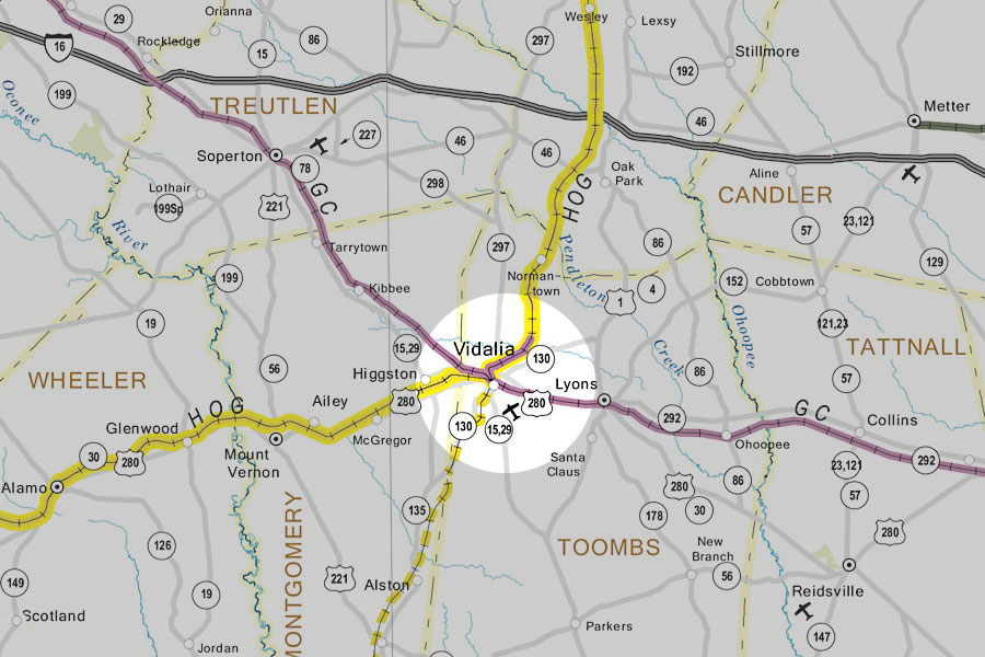
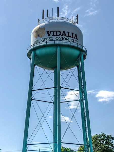
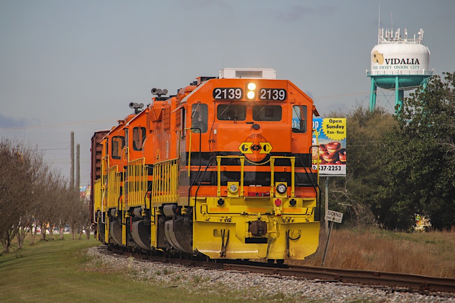
Vidalia
 Known best for its sweet onion, Vidalia is full of local flavor and not just on the dinner plate. While in the Vidalia area, visit the historic downtowns of Vidalia, Lyons and Mount Vernon, and enjoy the variety of shops and dining options. Take a tour of the Vidalia Onion Museum. Learn more about the sweet Vidalia onion or paddle along the mighty Altamaha River. Mail your Christmas greeting from the tiny city of Santa Claus, just minutes away from Vidalia.
area railroad lines into Vidalia / RWH
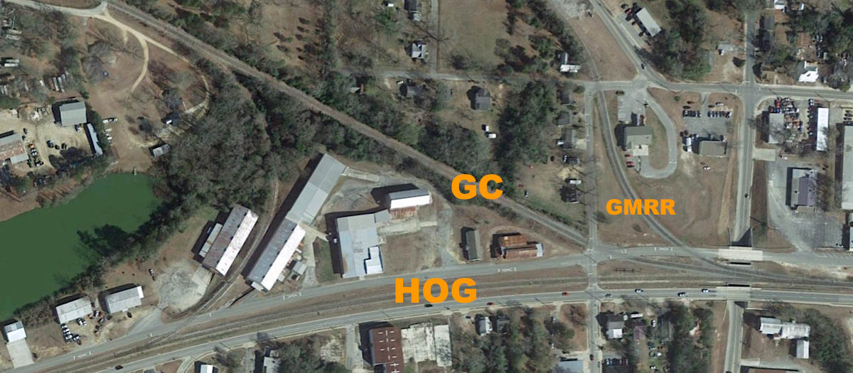
HOG GC GWRR junction area overhead / Google Maps
Click to see the Vidalia junction area plotted on a Google Maps page
Aug 2019 / RWH
westbound view / Vidalia, Ga / Aug 2019 / RWH
Vidalia, Ga / Aug 2019 / RWH
Vidalia, Ga / Aug 2019 / RWH
Aug 2019 / RWH
Vidalia, Ga / Aug 2019 / RWH
eastbound view / Vidalia, Ga / Aug 2019 / RWH
Vidalia, Ga / Aug 2019 / RWH
Vidalia, Ga / Aug 2019 / RWH
Donovan Street crossing / Vidalia, Ga / Aug 2019 / RWH
Click to see this location plotted on a Google Maps page
Vidalia, Ga / Aug 2019 / RWH
Vidalia, Ga / Aug 2019 / RWH
Vidalia, Ga / Aug 2019 / RWH
Vidalia, Ga / Aug 2019 / RWH
Vidalia, Ga / Aug 2019 / RWH
Vidalia, Ga / Aug 2019 / RWH
Vidalia, Ga / Aug 2019 / RWH
Vidalia, Ga / Aug 2019 / RWH
along SE Main Street / Vidalia, Ga / Sep 2019 / RWH
Click to see this location plotted on a Google Maps page
Vidalia, Ga / Sep 2019 / RWH
Vidalia, Ga / Sep 2019 / RWH
Vidalia, Ga / Sep 2019 / RWH
Vidalia, Ga / Sep 2019 / RWH
Vidalia, Ga / Sep 2019 / RWH
web
Vidalia, Ga / Sep 2019 / RWH
Vidalia, Ga / Sep 2019 / RWH
Vidalia, Ga / Sep 2019 / RWH
Vidalia, Ga / Mar 2019 / Samuel Latham
Lyons
![]() Lyons is a cute, vibrant downtown in Toombs County. Only a short drive off of Interstate 16, Lyons offers a variety of family fun events throughout the year. Lyons is home to the Southeast Georgia Soap Box Derby, culminating with 2 winners participating in the All-American Soap Box Derby in Akron Ohio; Tales from the Altamaha, an award winning folk-life play; Elements Bistro, fine-dining restaurant; The Real Squeal BBQ & Music Festival, a two day event sanctioned by KCBS; Altamaha Heritage Center, history museum dedicated to the cultural heritage of the Altamaha River Basin; Winter Wonder Lyons, a day of family fun ending with a lighted nighttime Christmas Parade; Agritourism; and Partin Park, host to The Real Squeal, Veteran's Day Parade, and softball tournaments. Partin Park serves the community with its recreation department, four rentable buildings for activities, walking trail, skateboard park and multiple playgrounds including a physically challenged accessible playground.
Lyons is a cute, vibrant downtown in Toombs County. Only a short drive off of Interstate 16, Lyons offers a variety of family fun events throughout the year. Lyons is home to the Southeast Georgia Soap Box Derby, culminating with 2 winners participating in the All-American Soap Box Derby in Akron Ohio; Tales from the Altamaha, an award winning folk-life play; Elements Bistro, fine-dining restaurant; The Real Squeal BBQ & Music Festival, a two day event sanctioned by KCBS; Altamaha Heritage Center, history museum dedicated to the cultural heritage of the Altamaha River Basin; Winter Wonder Lyons, a day of family fun ending with a lighted nighttime Christmas Parade; Agritourism; and Partin Park, host to The Real Squeal, Veteran's Day Parade, and softball tournaments. Partin Park serves the community with its recreation department, four rentable buildings for activities, walking trail, skateboard park and multiple playgrounds including a physically challenged accessible playground.
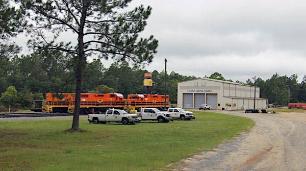
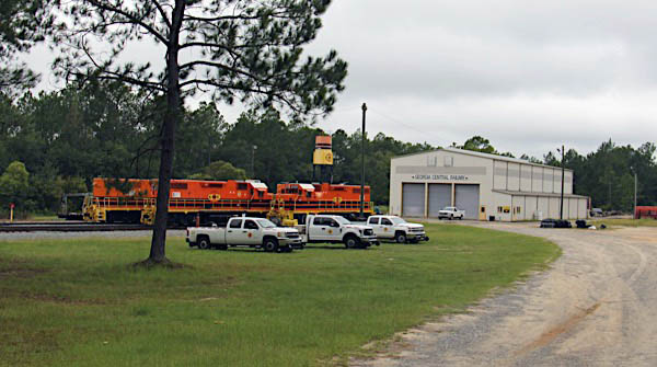
Georgia Central office
Lyons, Ga / Sep 2019 / RWH
Click to see the Georgia Central office and shop area plotted on a Google Maps page
Lyons, Ga / Sep 2019 / RWH
Lyons, Ga / Sep 2019 / RWH

Lyons, Ga / Sep 2019 / RWH
Lyons, Ga / Sep 2019 / RWH
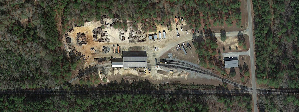
Lyons shop and office area overhead / Google Maps
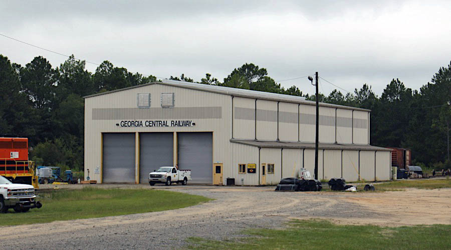
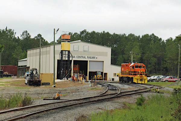
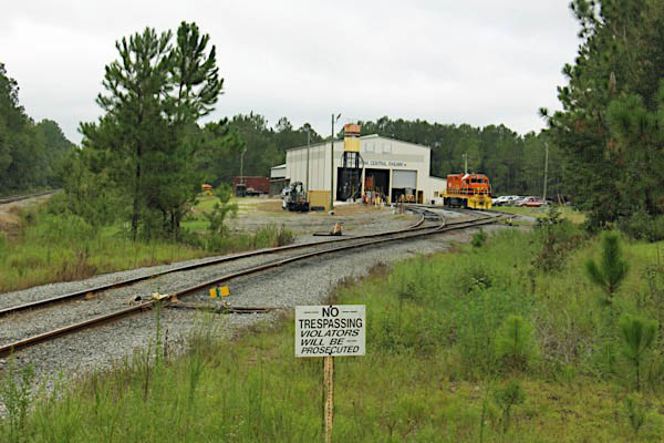
Georgia Central shop
Lyons, Ga / Sep 2019 / RWH
Lyons, Ga / Sep 2019 / RWH
Lyons, Ga / Sep 2019 / RWH
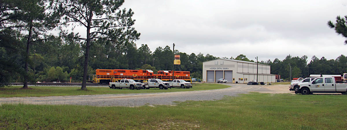
Lyons, Ga / Sep 2019 / RWH
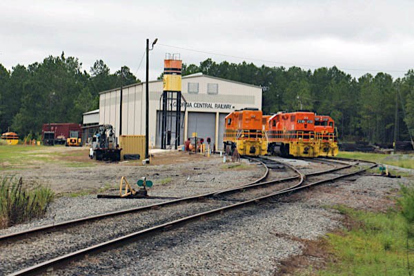
Lyons, Ga / Sep 2019 / RWH
Lyons, Ga / Aug 2019 / RWH
Lyons, Ga / Aug 2019 / RWH
Lyons, Ga / Sep 2019 / RWH
Aug 2019 / RWH
Lyons, Ga / Sep 2019 / RWH
Lyons, Ga / Aug 2019 / RWH
Lyons, Ga / Aug 2019 / RWH
Lyons, Ga / Aug 2019 / RWH
Lyons, Ga / Aug 2019 / RWH
Lyons, Ga / Aug 2019 / RWH
Aug 2019 / RWH
RWH
RWH
Hagan
Hagan, Ga / Sep 2018 / Samuel Latham
Click to see Hagan plotted on a Google Maps page
Manassas
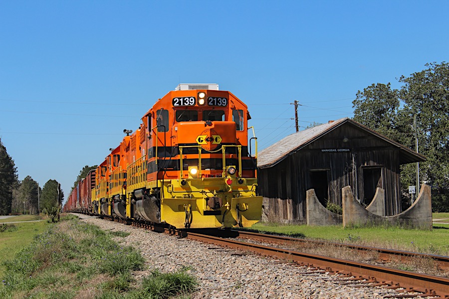
Manassas, Ga / Mar 2019 / Samuel Latham
Click to see Manassas plotted on a Google Maps page
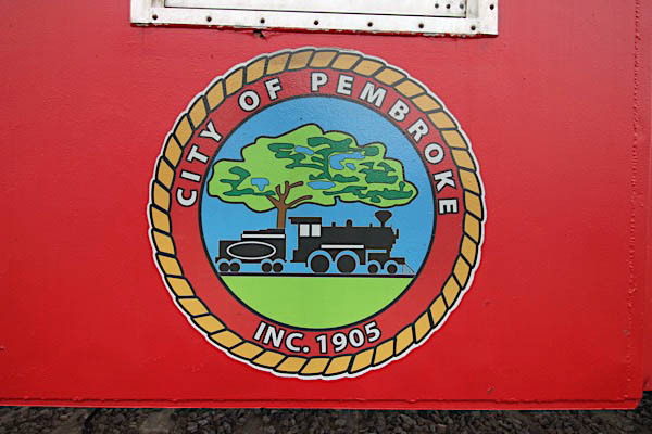
Pembroke
![]() In the late 1800’s lumber and naval stores were the main sources of industry throughout southeast Georgia where it was common practice to locate new communities for the purpose of marketing forest products. Pembroke came into being in 1889 when the Savannah and Western Railroad extended its line from Meldrim to a point 32 miles west of Savannah in north Bryan County where the timber business was thriving.
In the late 1800’s lumber and naval stores were the main sources of industry throughout southeast Georgia where it was common practice to locate new communities for the purpose of marketing forest products. Pembroke came into being in 1889 when the Savannah and Western Railroad extended its line from Meldrim to a point 32 miles west of Savannah in north Bryan County where the timber business was thriving.
The first citizen of the city was M. E. Carter who was a member of the construction crew for the railroad. During the construction of the railroad, a boxcar was switched off the line and became not only Carter’s office for directing work, but also his residence. Carter became the first section-master for the railroad in Pembroke and kept that position for three and one-half years. As soon as the trains began arriving, houses and businesses were built around and near the railroad. One of the first land acquisitions on record was the purchase of land for the train depot in Pembroke. With the completion of the railroad and the thriving timber business, Pembroke became the commercial and business center of Bryan County. One of the first business decisions made in Pembroke in 1903 was for the organization of the city’s first bank. The Pembroke National Bank received its charter from the state of Georgia in 1907 and later became the Pembroke State Bank.
Pembroke was named for Judge Pembroke Whitfield Williams who was well-known as a leader in education and as a jurist. He lived in the Mill Creek community near Ellabell and had extensive timberland in the area. Records also indicate in 1883 he served as postmaster of Fido, later named Groveland, located eight miles west of Pembroke.
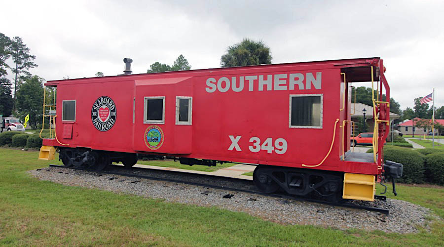
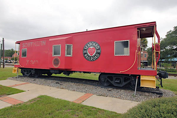
Southern Railway #X349
Pembroke, Ga / Aug 2019 / RWH
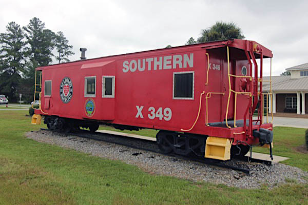
Pembroke, Ga / Aug 2019 / RWH
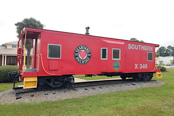
Pembroke, Ga / Aug 2019 / RWH
Pembroke, Ga / Aug 2019 / RWH
Aug 2019 / RWH
Click to see this location plotted on a Google Maps page
See also our complete Southern Bay Window Survivors scrapbook in Mainlines
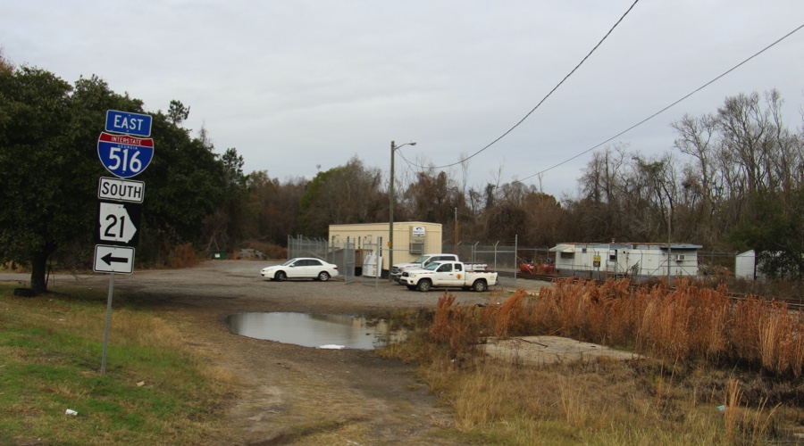
Savannah
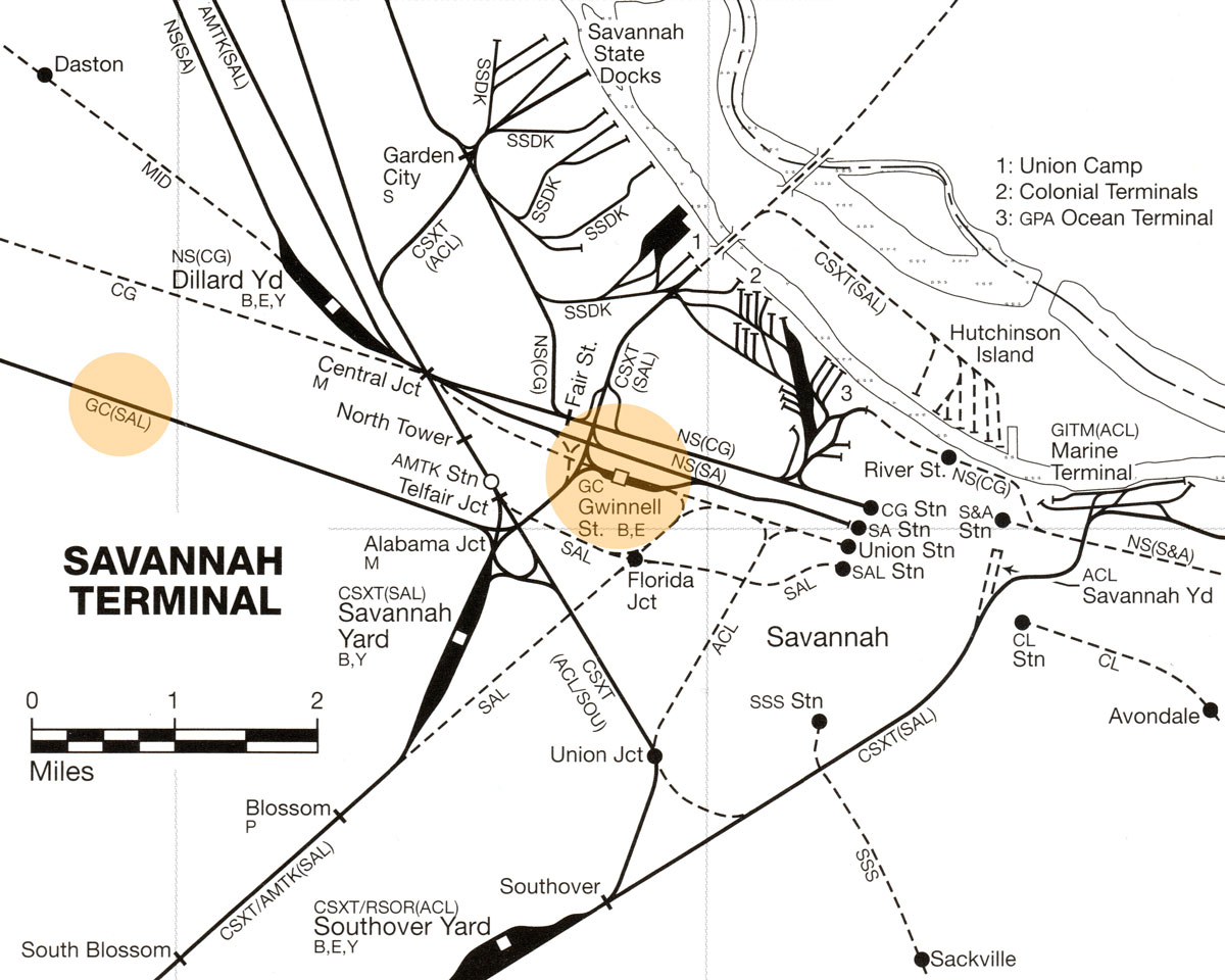
from SPV Comprehensive Railroad Atlas
/ collection
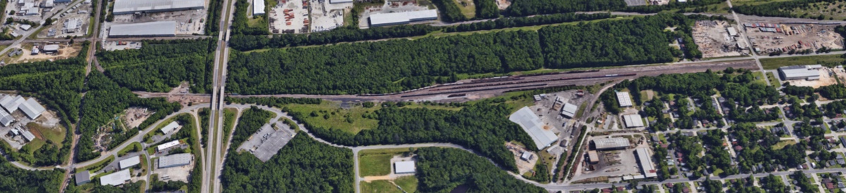
Savannah yard overhead / Google Maps
Savannah yard office overhead / Google Maps
Savannah, Ga / Dec 2019 / RWH
Click to see the Savannah yard office area plotted on a Google Maps page
Savannah, Ga / Dec 2019 / RWH
Savannah, Ga / Dec 2019 / RWH
Savannah, Ga / Dec 2019 / RWH
Savannah, Ga / Dec 2019 / RWH
Savannah, Ga / Dec 2019 / RWH
Savannah, Ga / Dec 2019 / RWH