 |
Great Smoky Moutains Nantahala River Excursion |
Nantahala, NC / Dec 2020 / RWH
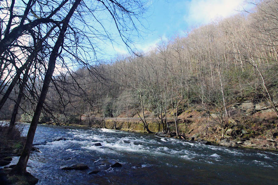
 The Nantahala River is a river in western North Carolina in the United States, within the Nantahala National Forest, and near the Great Smoky Mountains National Park. Two-lane U.S. Highway 19/74, once part of the Trail of Tears, runs along the river, picnic areas dotting the route.
The River rises near the border of Georgia and North Carolina, close to the Southern Nantahala Wilderness and the Appalachian Trail. It empties into the Little Tennessee River at Fontana Lake.
The word Nantahala is Cherokee and means "Land of the Noonday Sun". The river runs through a narrow and steep gorge where in some areas the sun reaches the ground only when it is directly overhead during the middle of the day.
The Nantahala River is a river in western North Carolina in the United States, within the Nantahala National Forest, and near the Great Smoky Mountains National Park. Two-lane U.S. Highway 19/74, once part of the Trail of Tears, runs along the river, picnic areas dotting the route.
The River rises near the border of Georgia and North Carolina, close to the Southern Nantahala Wilderness and the Appalachian Trail. It empties into the Little Tennessee River at Fontana Lake.
The word Nantahala is Cherokee and means "Land of the Noonday Sun". The river runs through a narrow and steep gorge where in some areas the sun reaches the ground only when it is directly overhead during the middle of the day.
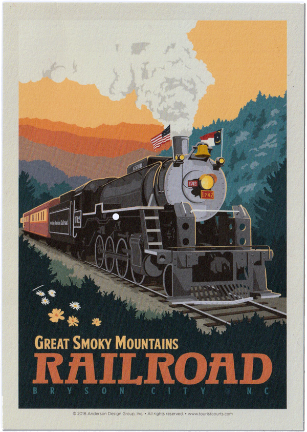
GSM brochure / collection
1955 Official Guide / collection

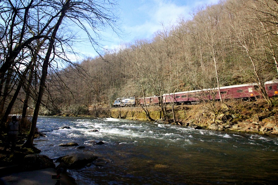
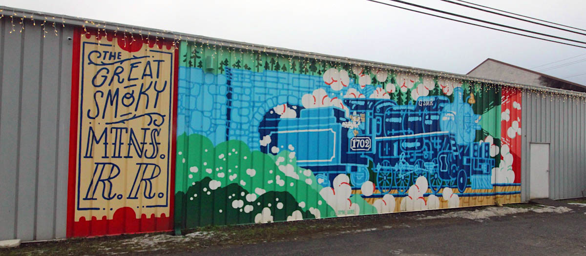
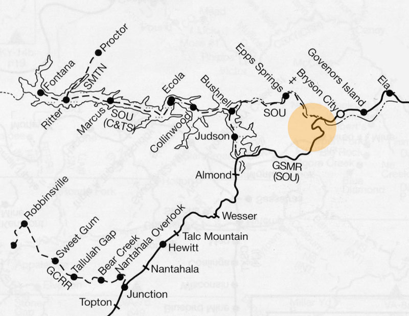
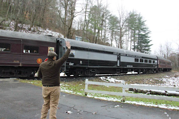
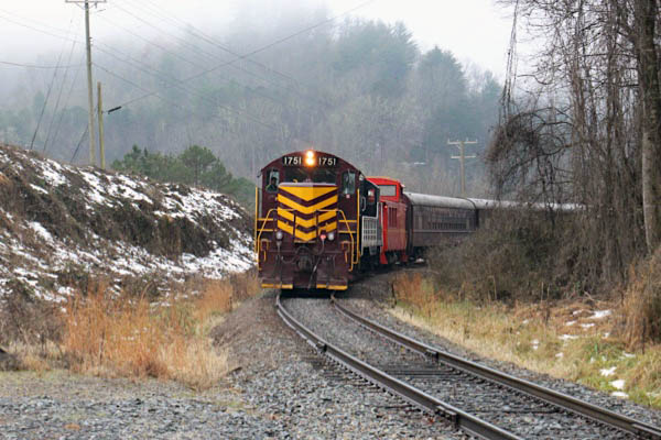
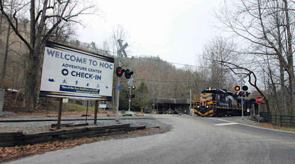
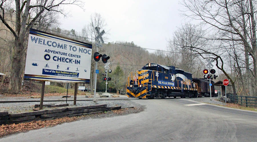
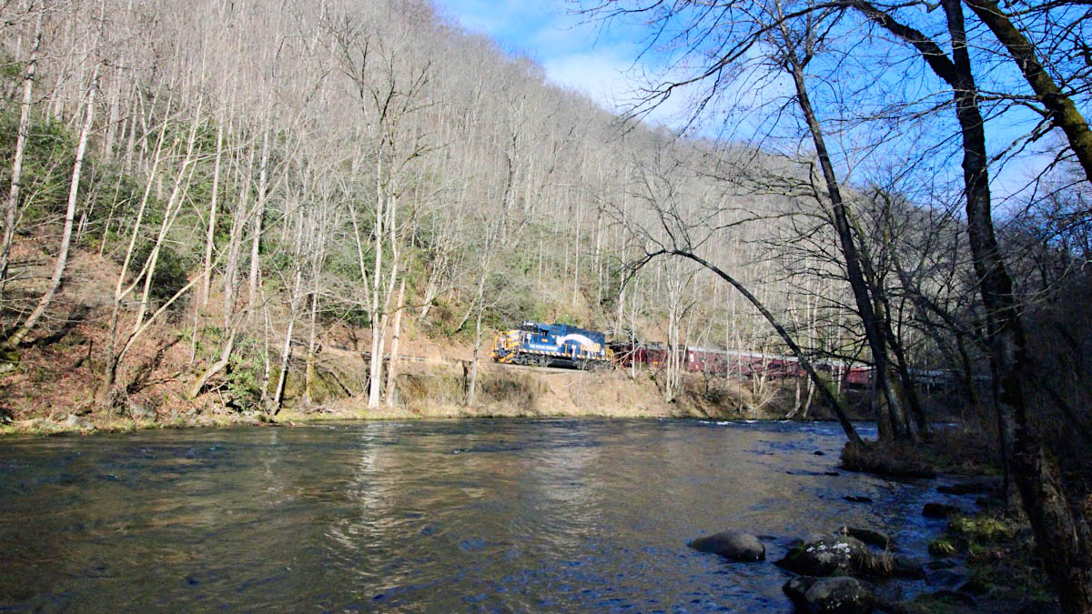
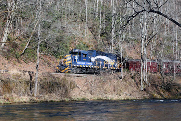
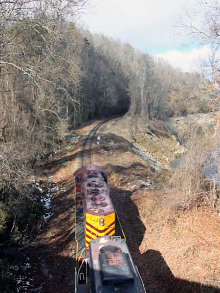
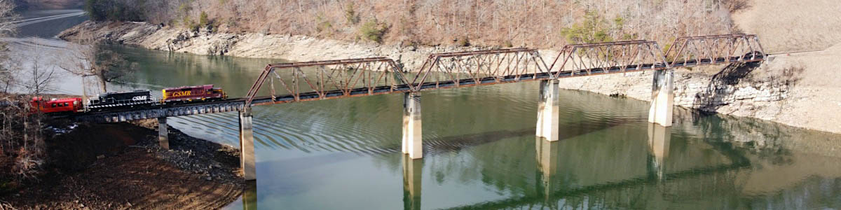
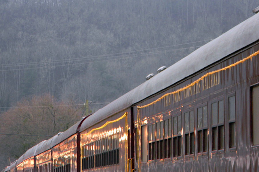
 On a cold and overcast December day, in that coveted week of vacation between Christmas and New Years, Team HawkinsRails descended upon Bryson City, North Carolina, to finally chase the Great Smoky Mountain Railroad. I say "finally" only because lots of life circumstances postponed previous attempts to meet our old chase pal Ben Wells in his home state to explore Southern's old Murphy Branch from stem to stern. We landed in Swain County planning (excited) to chase steam out and back all day, only to find out the day before that a pin sheered on #1702 and she was out of commission for the rest of the season. No matter: We'll never turn down a trio of first-generation Geeps as a second string. It was a great day on the GSM. The three of us chased the Nantahala River train from Bryson City to just east of Topton, and return. Along the way we shot bridges, crossings, a horseshoe curve, the Fontana Lake realignment, the Almond depot, and some gorgeous spots along on the rocky shores of the running Nantahala River. When the train stopped at the Nantahala Outdoor Center for a 30 minute break and everyone detrained, I heard a kid say to his father, "Hey dad, that's those people in the orange car we keep seeing taking pictures!" I guess even these three train-chasing dogs have their day.
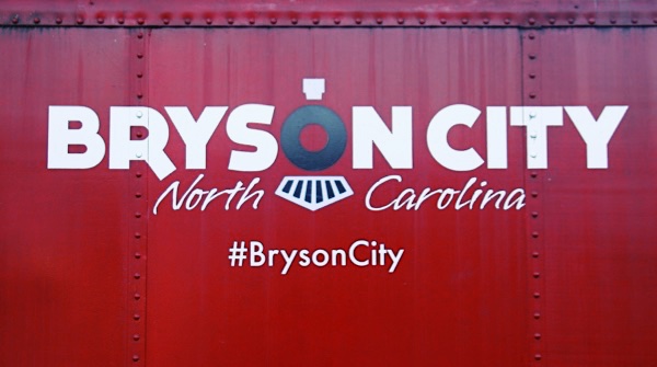
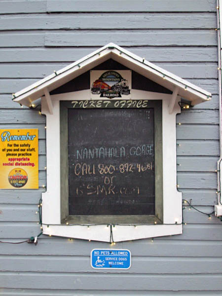
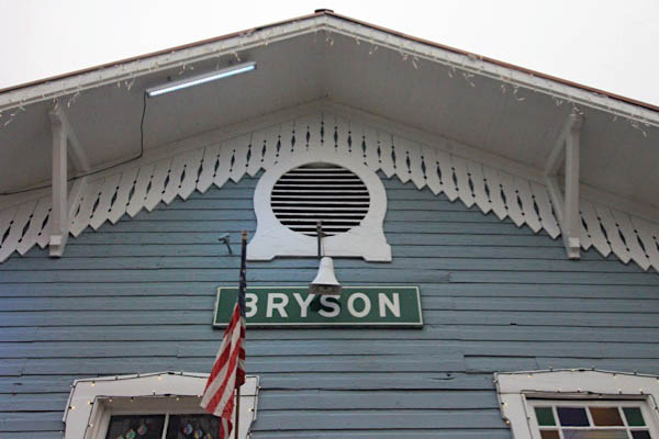
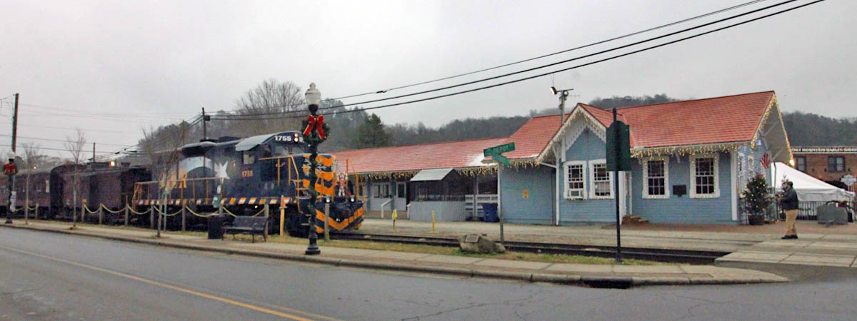
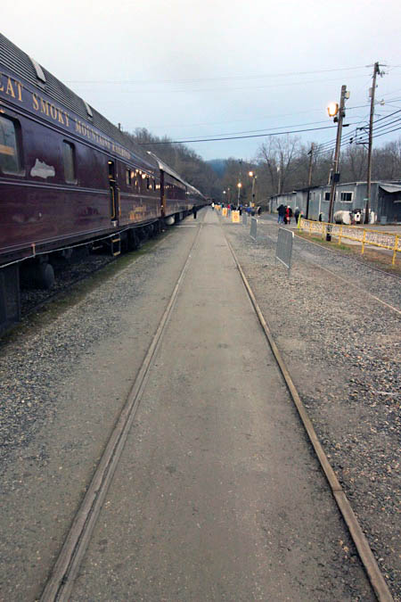
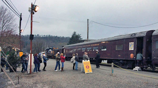
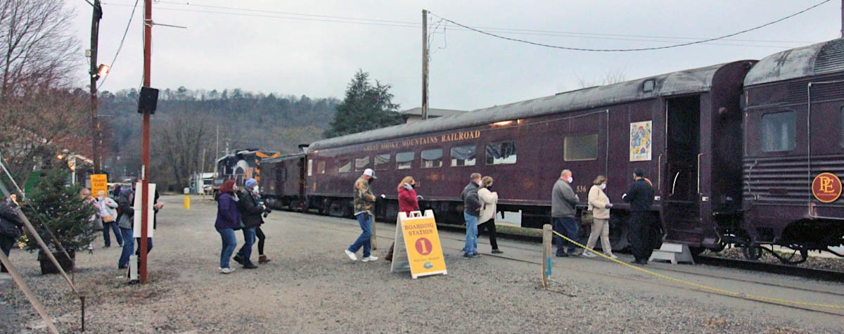
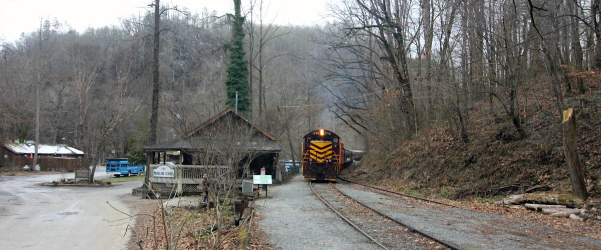
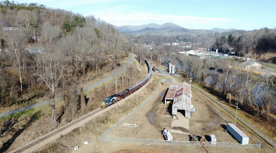
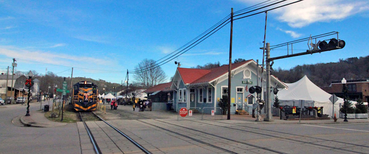
 Bryson City
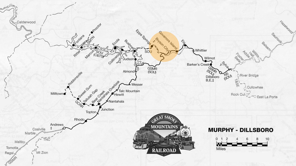
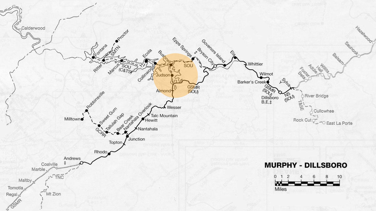
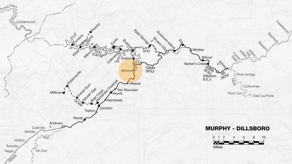
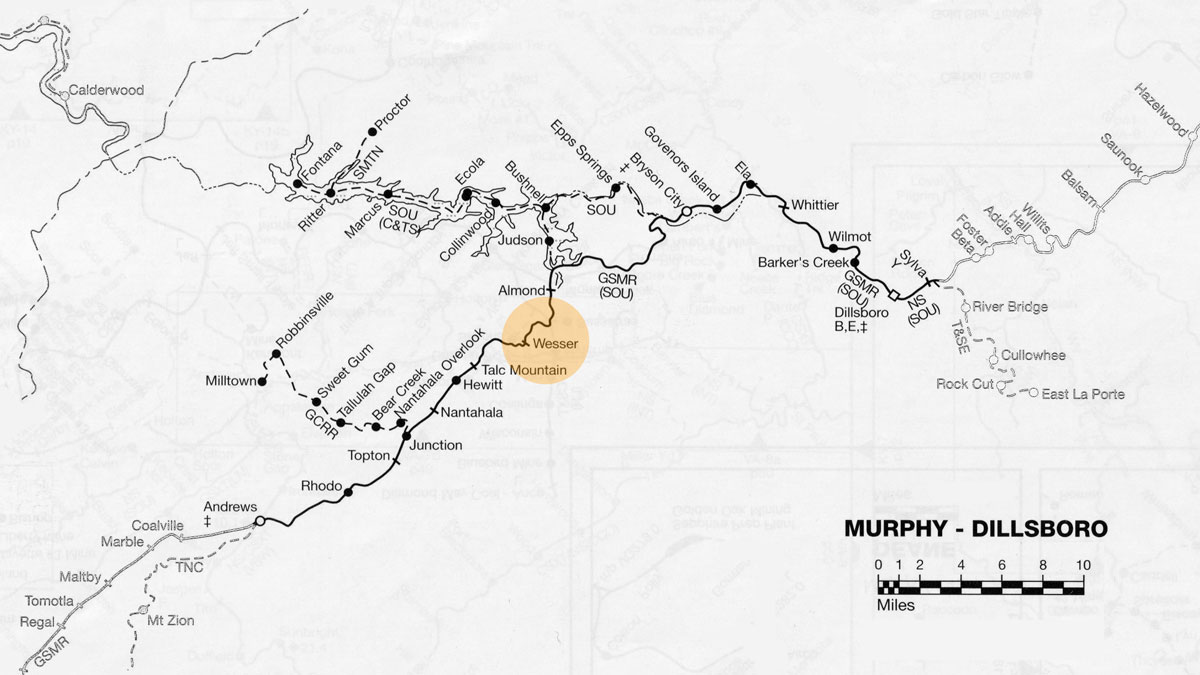
GSM route map / RWH

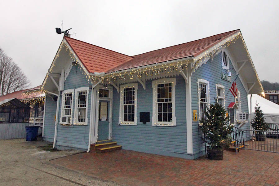
 Bryson City is a small town in the Great Smoky Mountains of Western North Carolina. It is surrounded by beautiful mountains, streams, waterfalls, and lakes. It's wonderful location offers a wide range of outdoor activities from trails for hiking, walking, biking. Lakes for fishing and swimming. Many great places for camping and hunting. Then our famous Deep Creek for rafting, kayaking and tubing. With breathtaking views and endless activities Bryson City is the perfect small town getaway, nestled in the beautiful Western North Carolina mountains.
Bryson City, NC / Dec 2020 / RWH
Dec 2020 / RWH

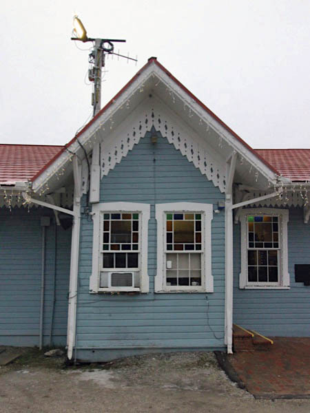
Click to see the Bryson City depot plotted on a Google Maps page
Dec 2020 / RWH
Dec 2020 / RWH
Bryson City, NC / Dec 2020 / RWH
Bryson City, NC / Dec 2020 / RWH
Bryson City, NC / Dec 2020 / RWH
Bryson City, NC / Dec 2020 / RWH
Bryson City, NC / Dec 2020 / RWH
Bryson City, NC / Dec 2020 / RWH
Dec 2020 / RWH
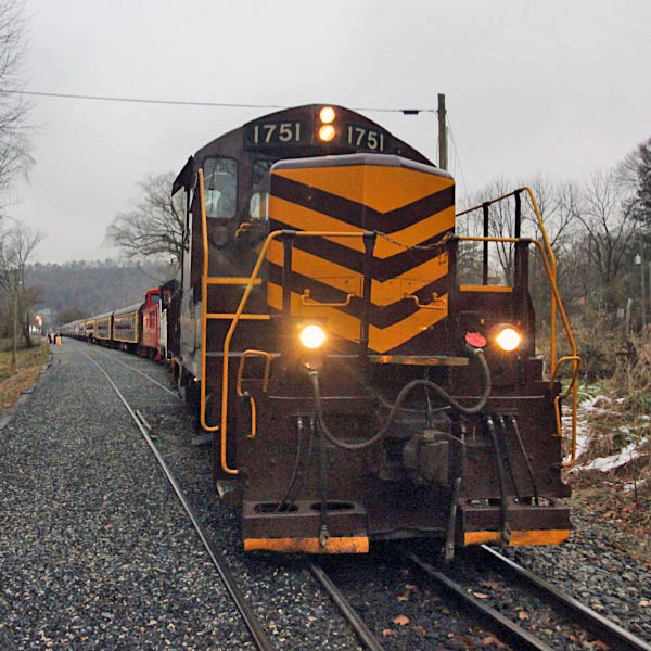
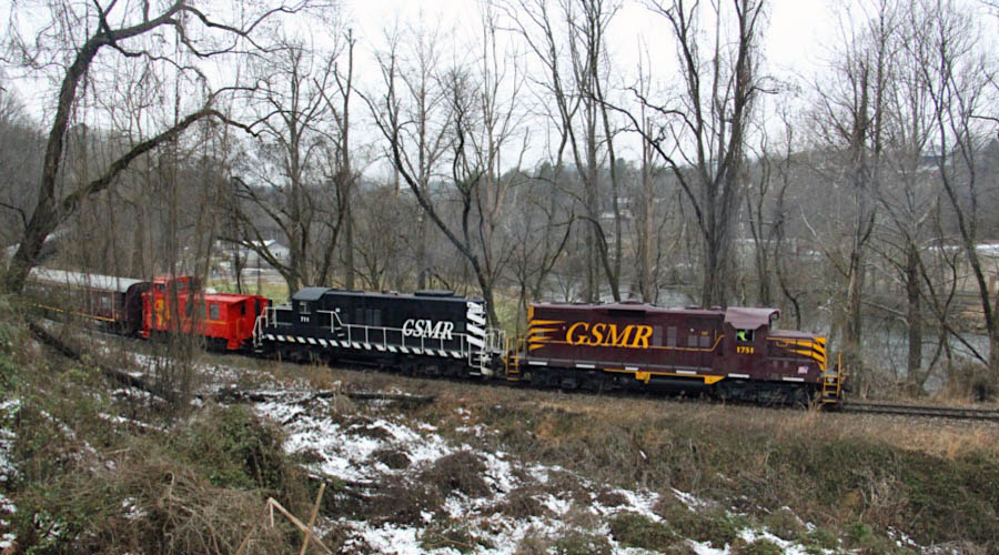
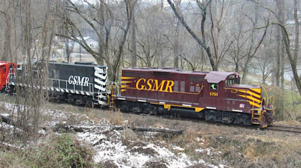
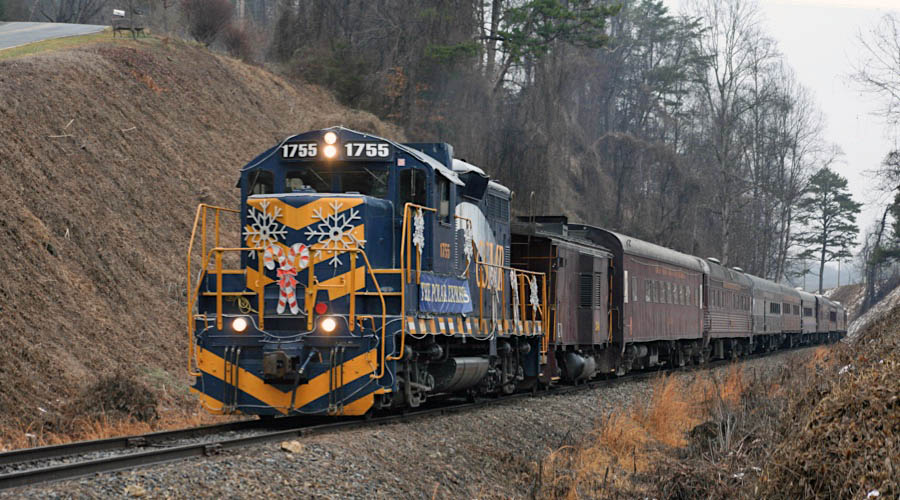
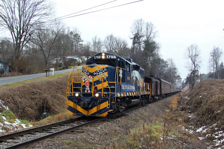
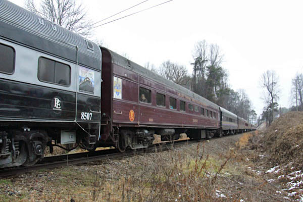
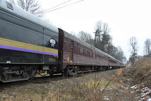
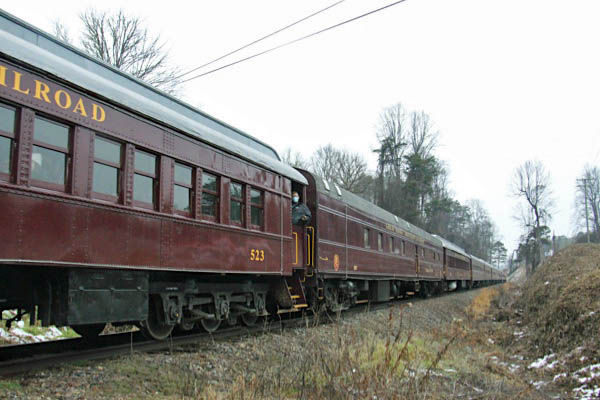
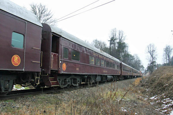
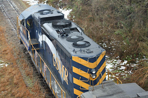
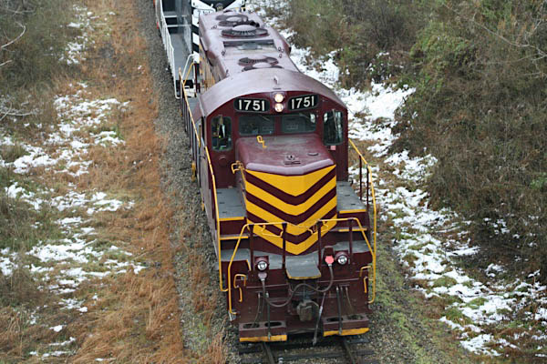
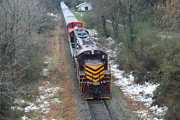
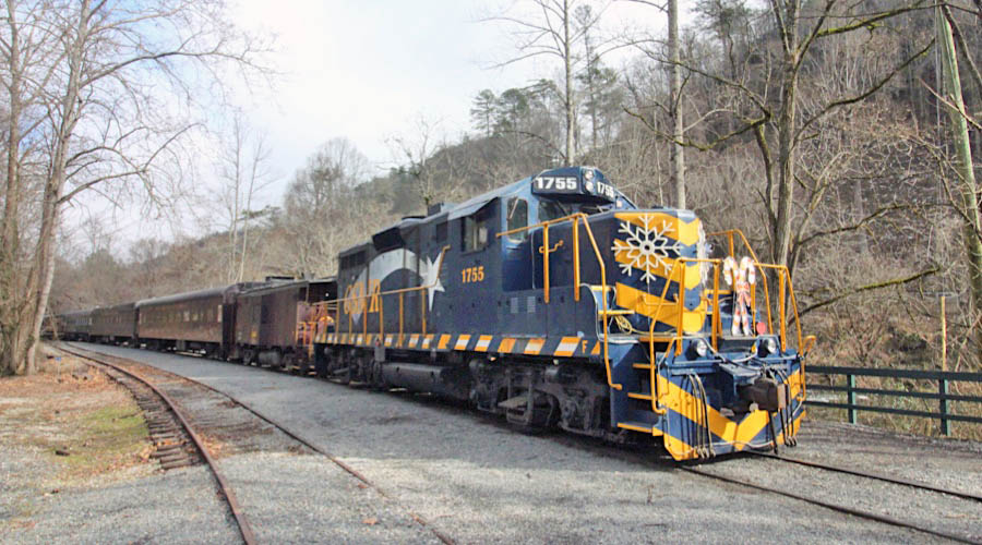
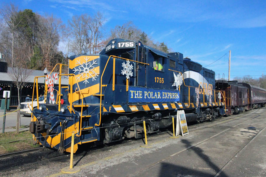
 Nantahala River Consist
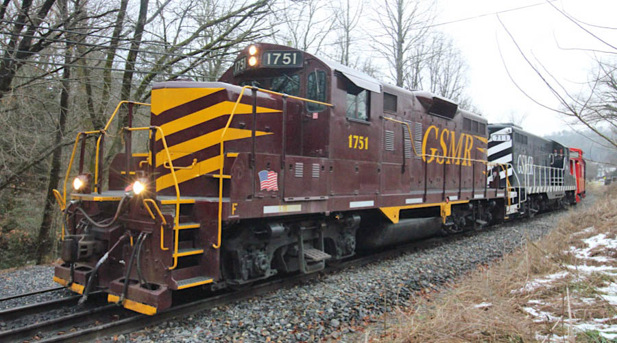
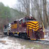
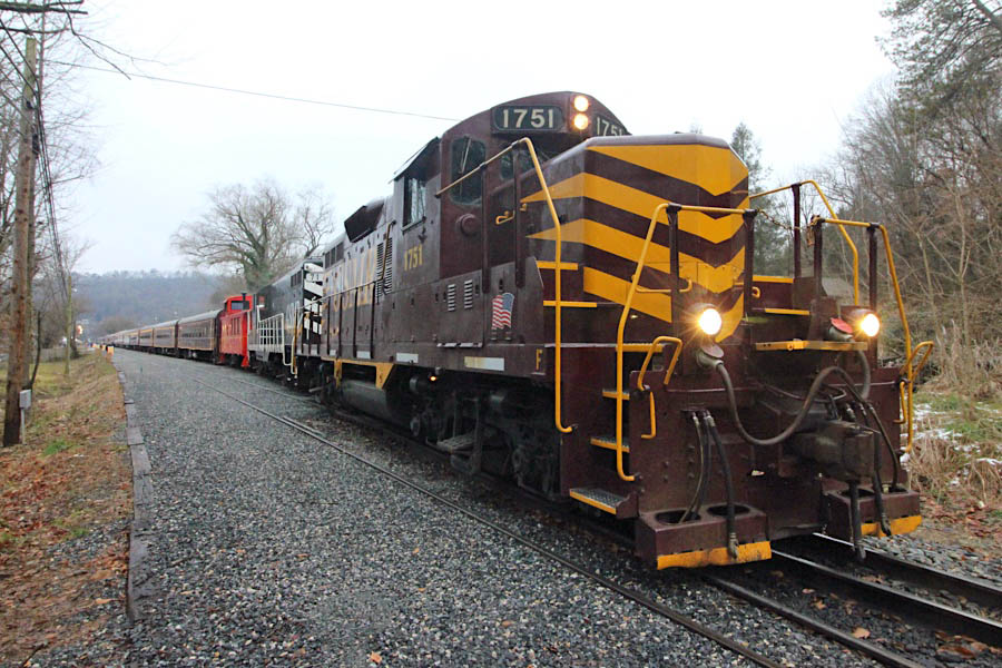
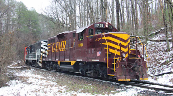
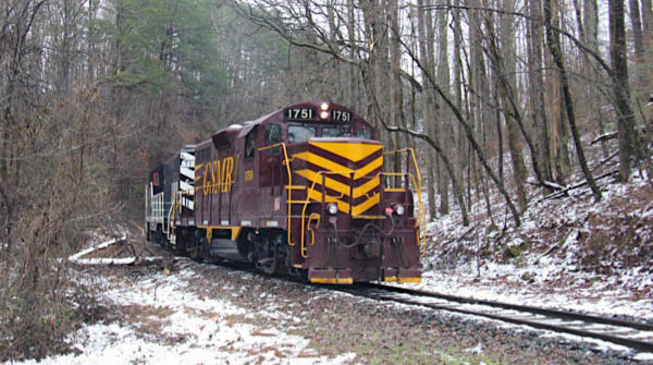
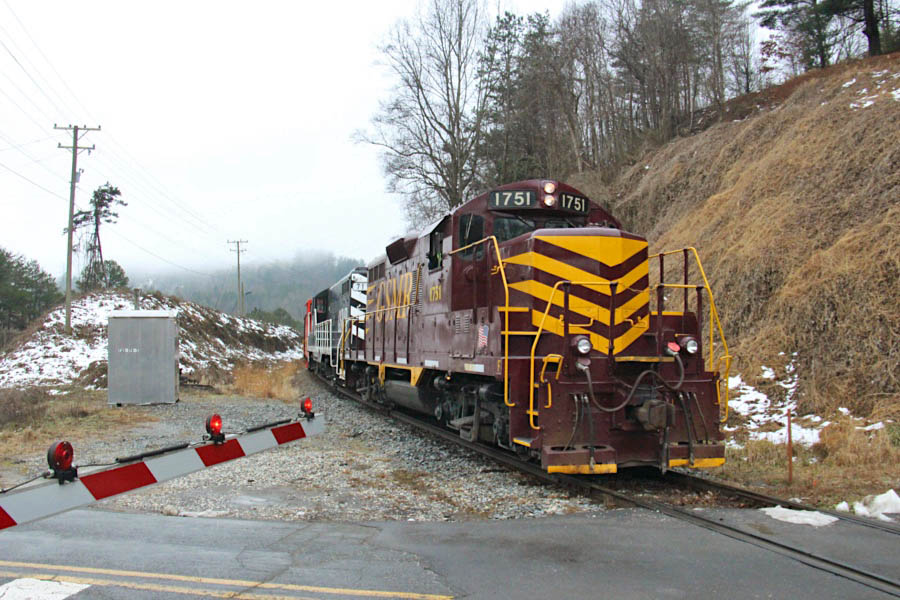
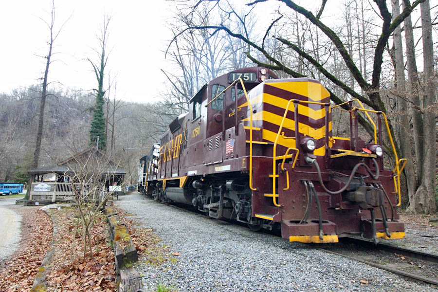
GP9 #1751
Bryson City, NC / Dec 2020 / RWH
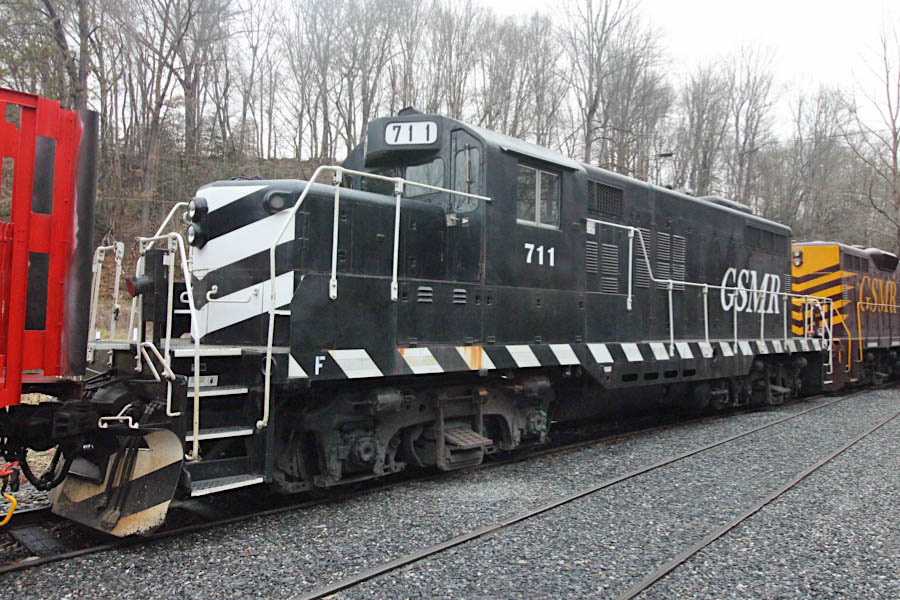
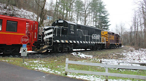
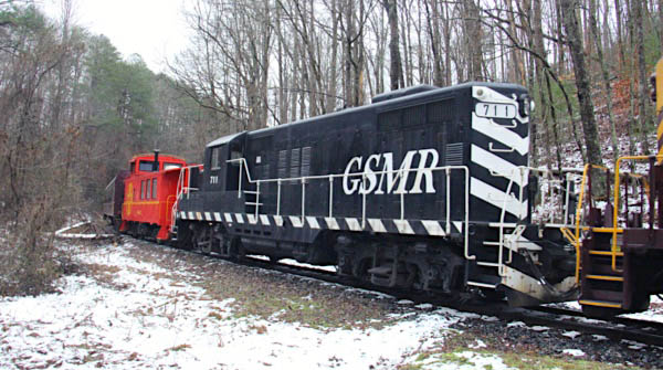
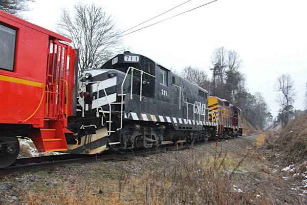
GP9 #711
Bryson City, NC / Dec 2020 / RWH
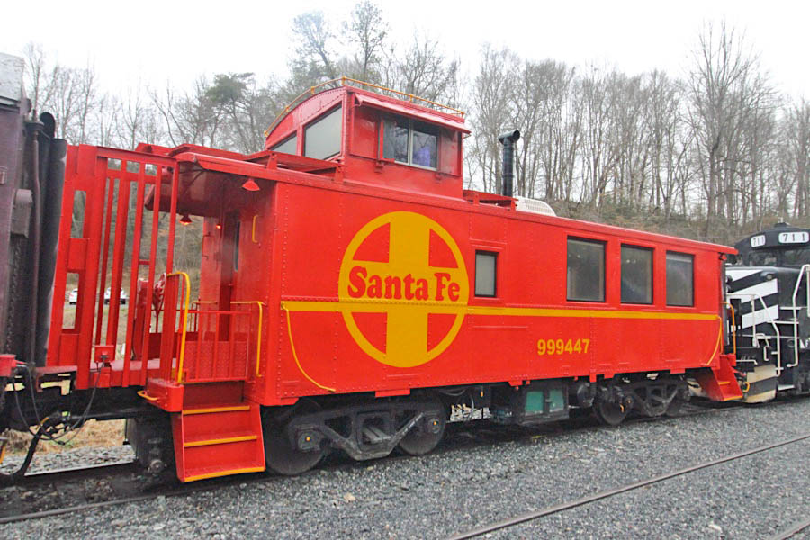
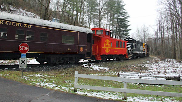
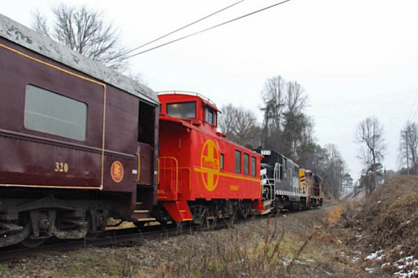
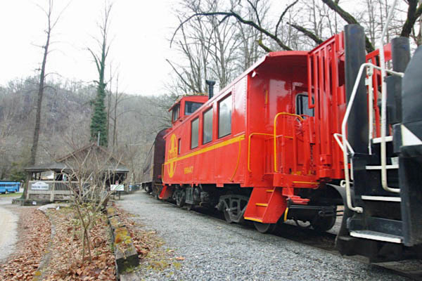
caboose #999447
Bryson City, NC / Dec 2020 / RWH
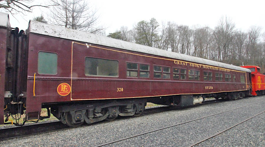
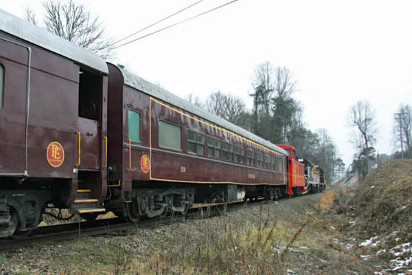
coach #320 'Sylva'
Bryson City, NC / Dec 2020 / RWH
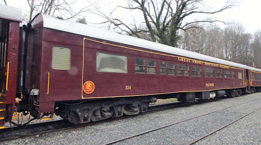
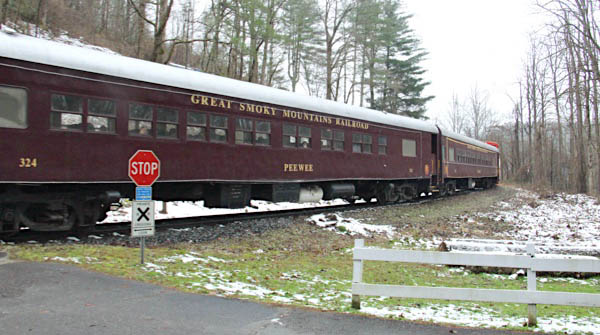
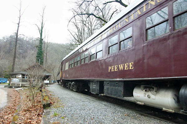
coach #324 'Pee Wee'
Bryson City, NC / Dec 2020 / RWH
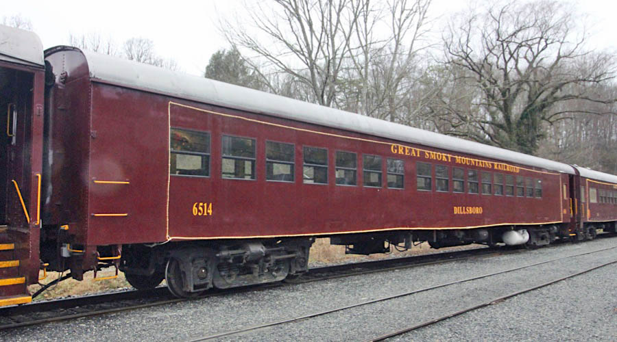
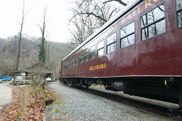
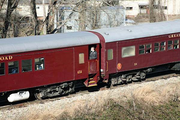
coach #6514 'Dillsboro'
Bryson City, NC / Dec 2020 / RWH
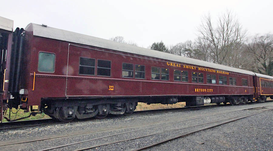
coach #322 'Bryson City'
Bryson City, NC / Dec 2020 / RWH
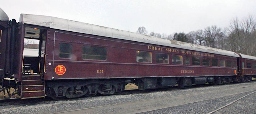
lounge #1103 'Crescent'
Bryson City, NC / Dec 2020 / RWH
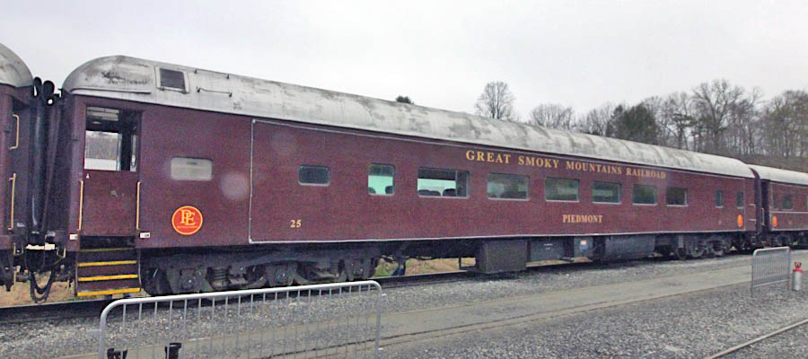
coach #25 'Piedmont'
Bryson City, NC / Dec 2020 / RWH
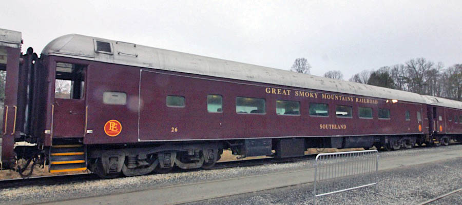
coach #26 'Southland'
Bryson City, NC / Dec 2020 / RWH
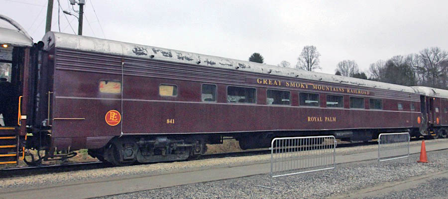
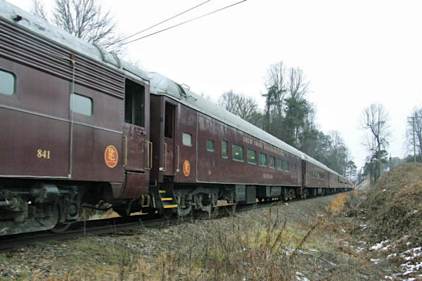
coach #841 'Royal Palm'
Bryson City, NC / Dec 2020 / RWH
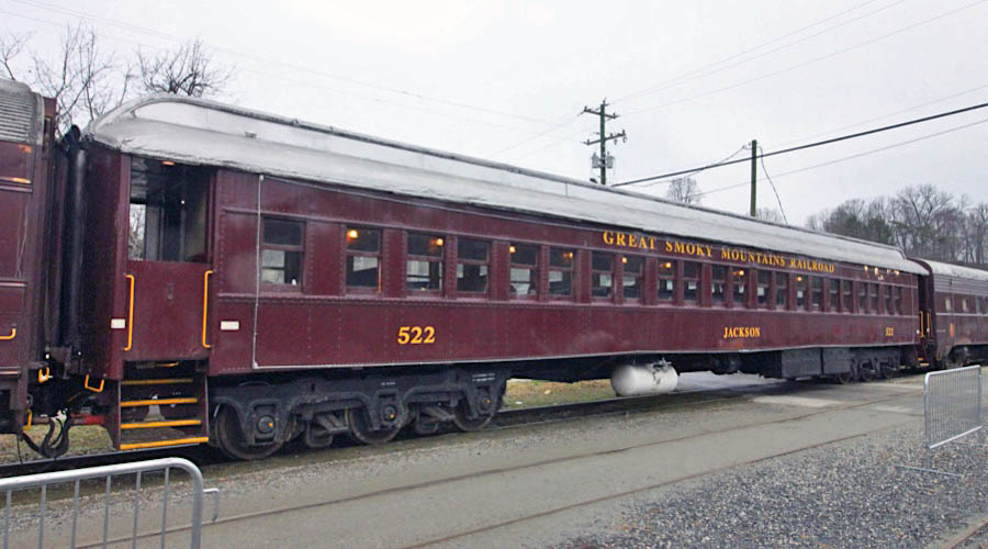
coach #522 'Jackson'
Bryson City, NC / Dec 2020 / RWH
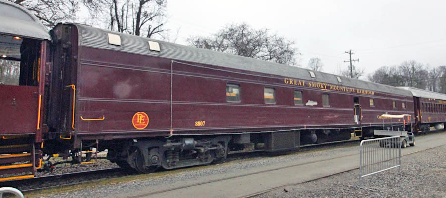
concessions #8807 'Conductors Cafe'
Bryson City, NC / Dec 2020 / RWH
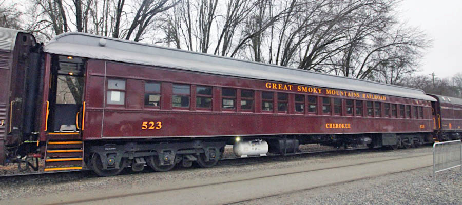
coach #523 'Cherokee'
Bryson City, NC / Dec 2020 / RWH
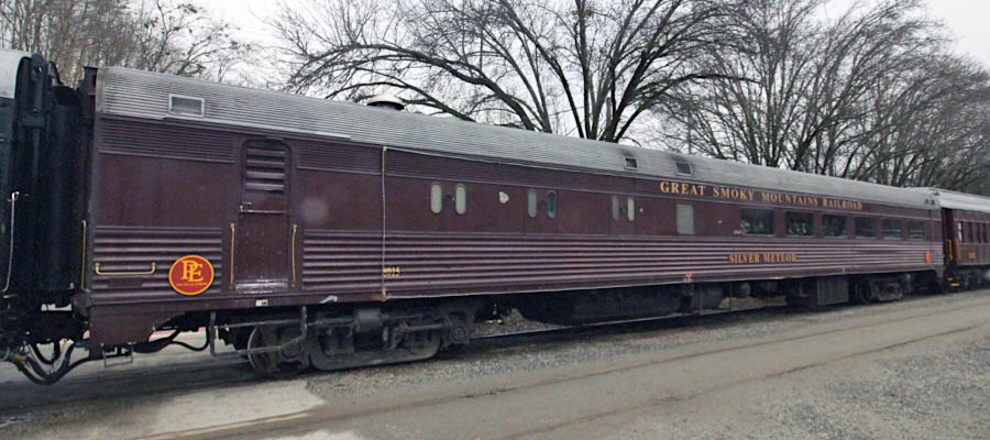
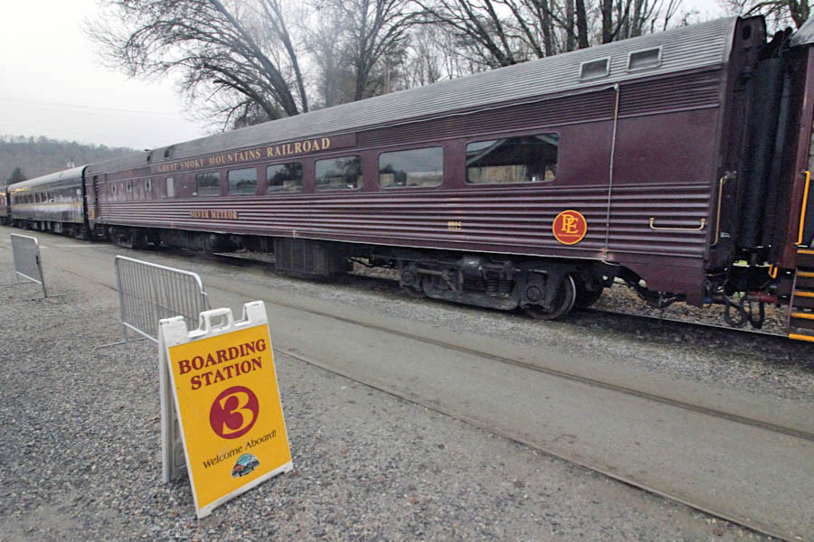
diner #8015 'Silver Meteor'
Bryson City, NC / Dec 2020 / RWH
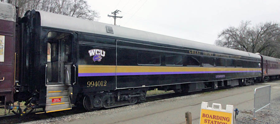
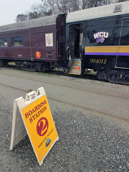
first class coach #994012 'Catamounts'
Bryson City, NC / Dec 2020 / RWH
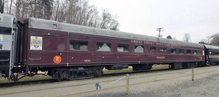
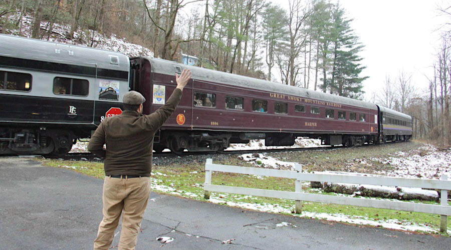
tavern lounge #8806 'Harper'
Bryson City, NC / Dec 2020 / RWH
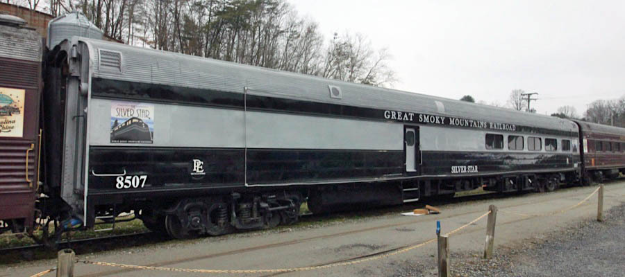
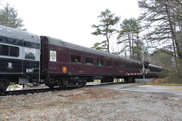
diner #8507 'Silver Star'
Bryson City, NC / Dec 2020 / RWH
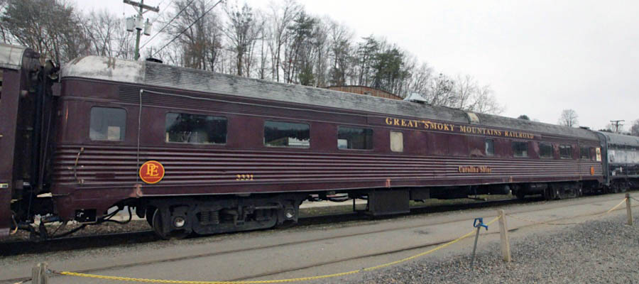
lounge #3331 'Carolina Shine'
Bryson City, NC / Dec 2020 / RWH
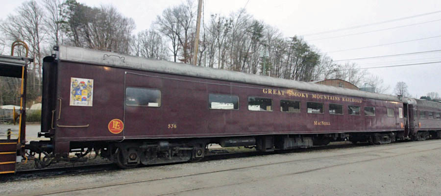
coach #536 'MacNeil'
Bryson City, NC / Dec 2020 / RWH
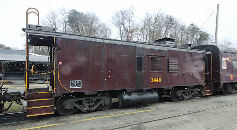
power car #2448
Bryson City, NC / Dec 2020 / RWH
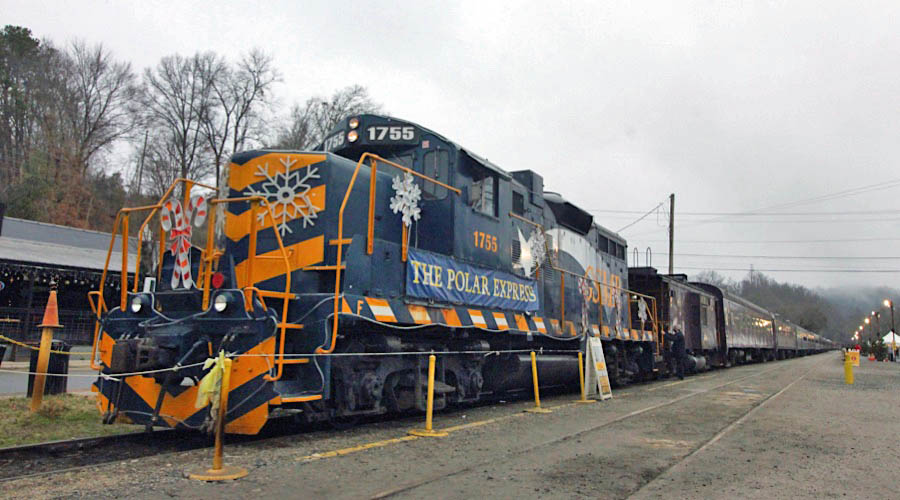
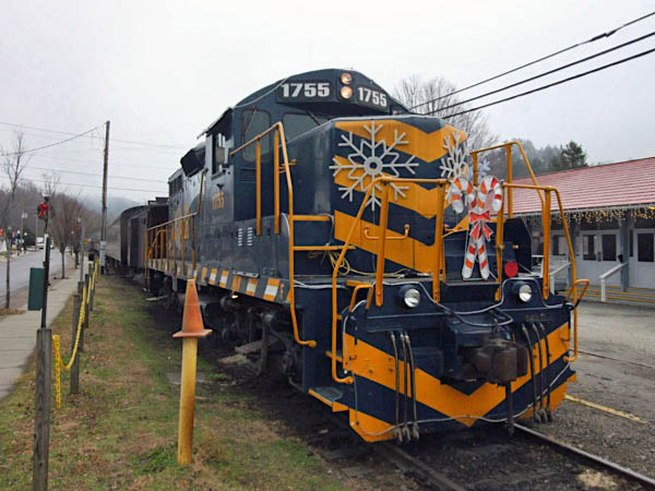
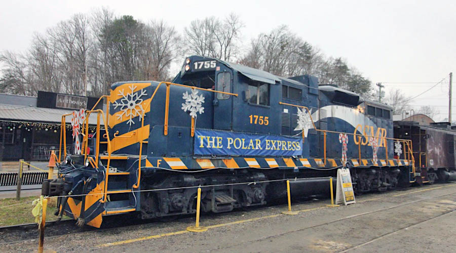
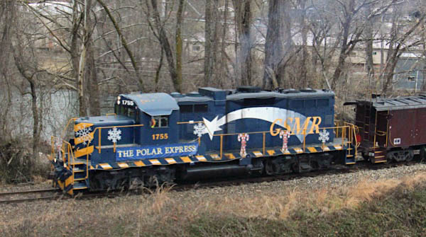
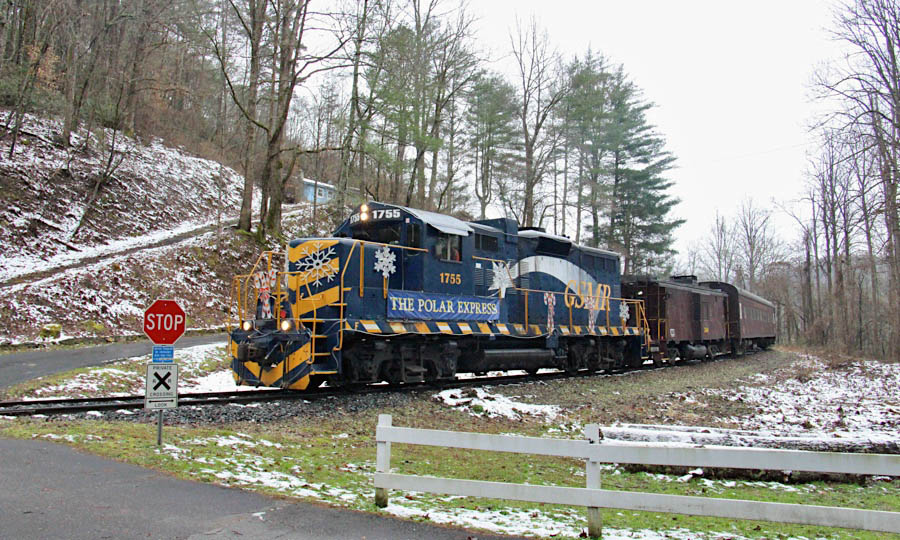
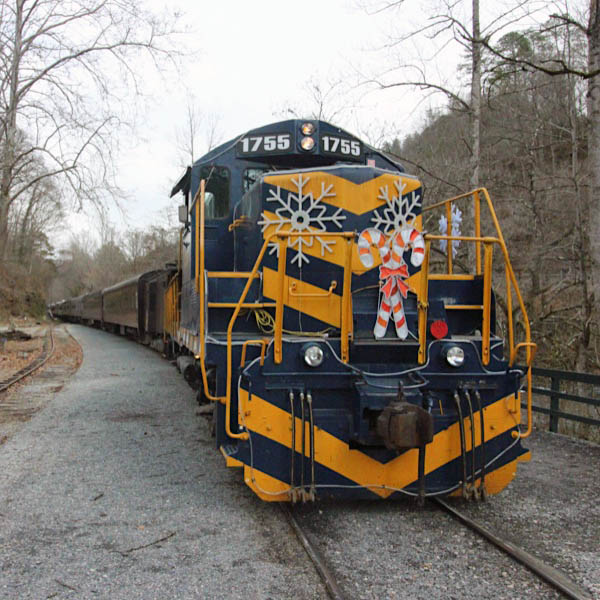
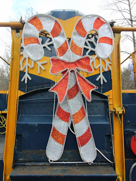
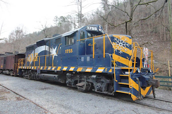
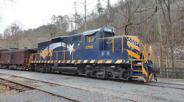
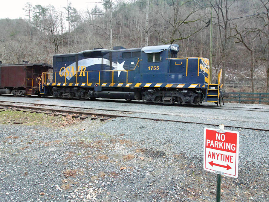
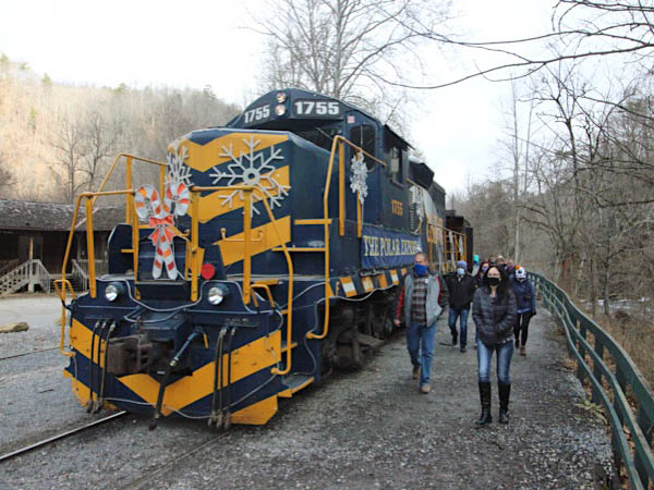
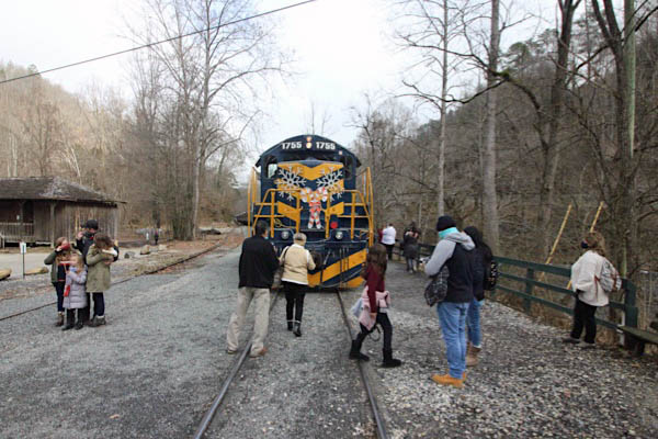
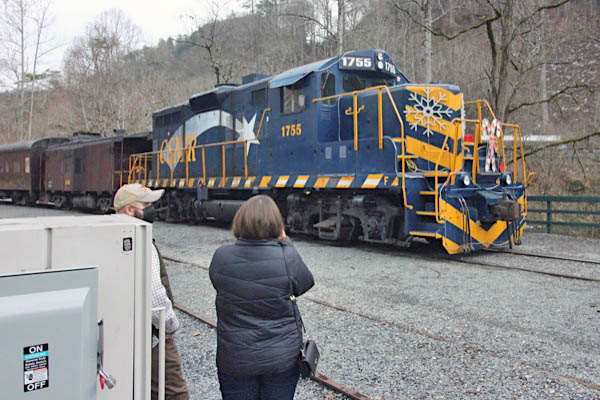
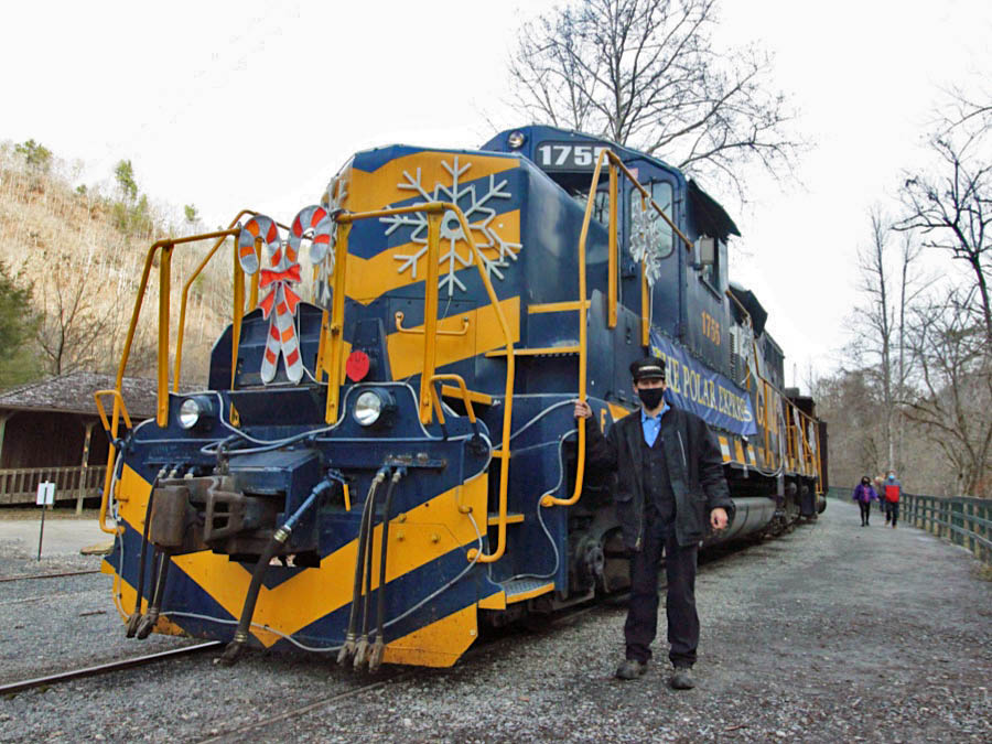
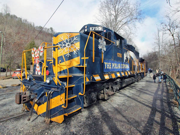
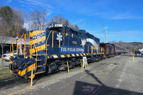
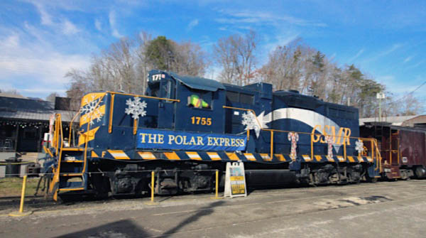
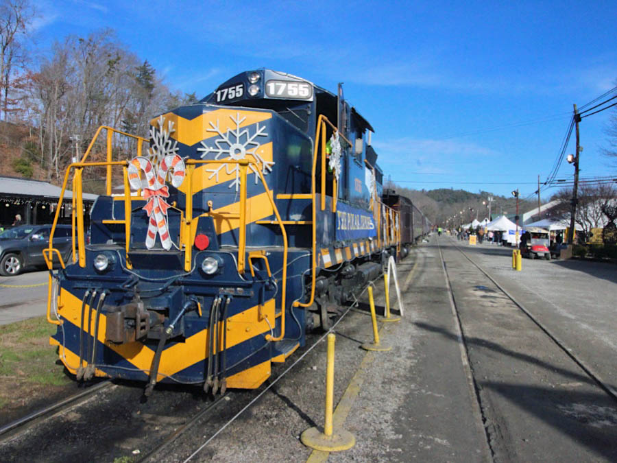
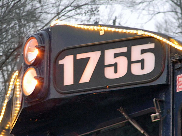
GP9 #1755
Bryson City, NC / Dec 2020 / RWH

See also our Great Smoky Mountains Motive Power and Rolling Stock scrapbooks
Bryson City, NC / Dec 2020 / RWH
Bryson City, NC / Dec 2020 / RWH

Bryson City, NC / Dec 2020 / RWH
Bryson City, NC / Dec 2020 / RWH
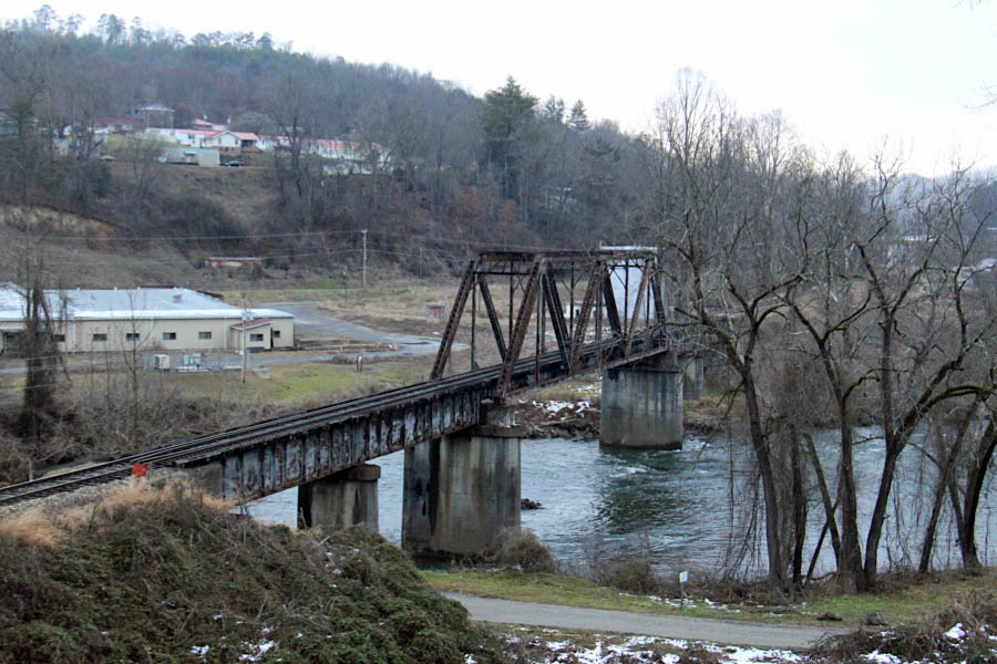
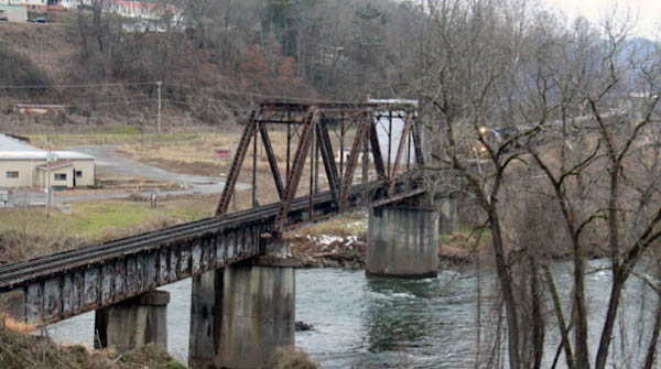
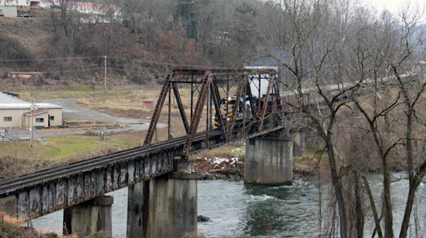
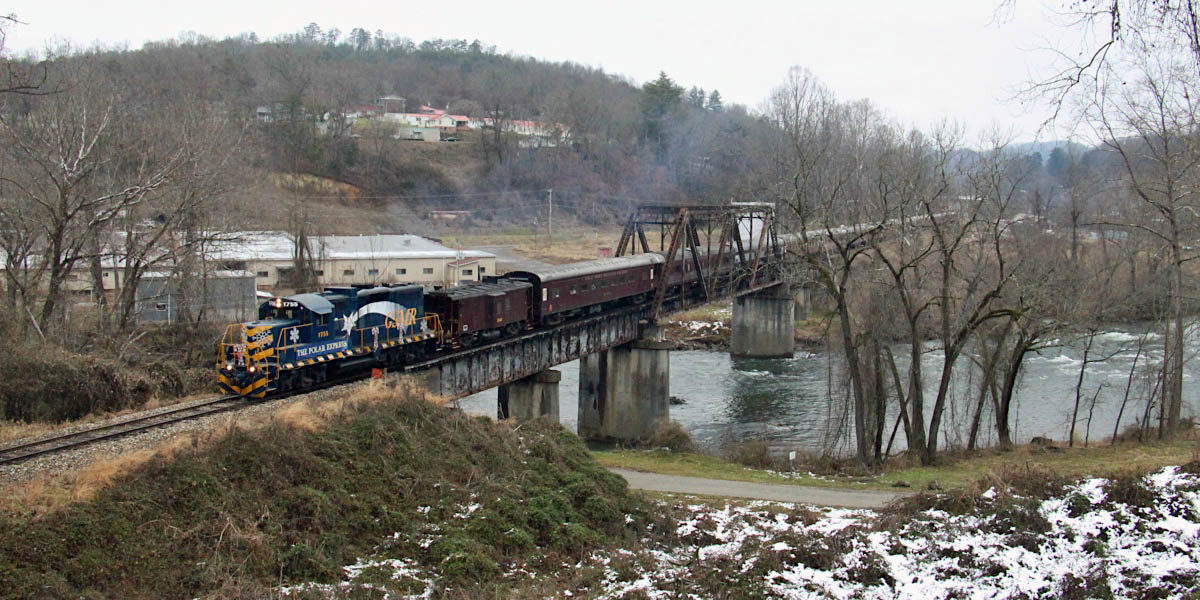
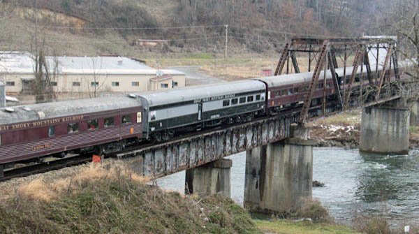
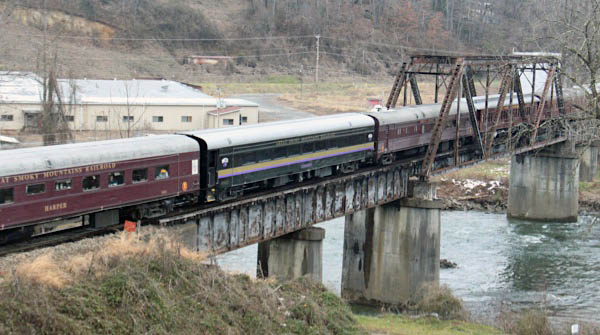
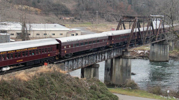
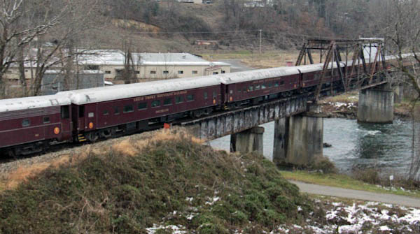
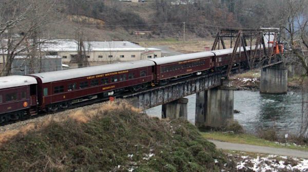
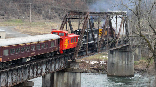
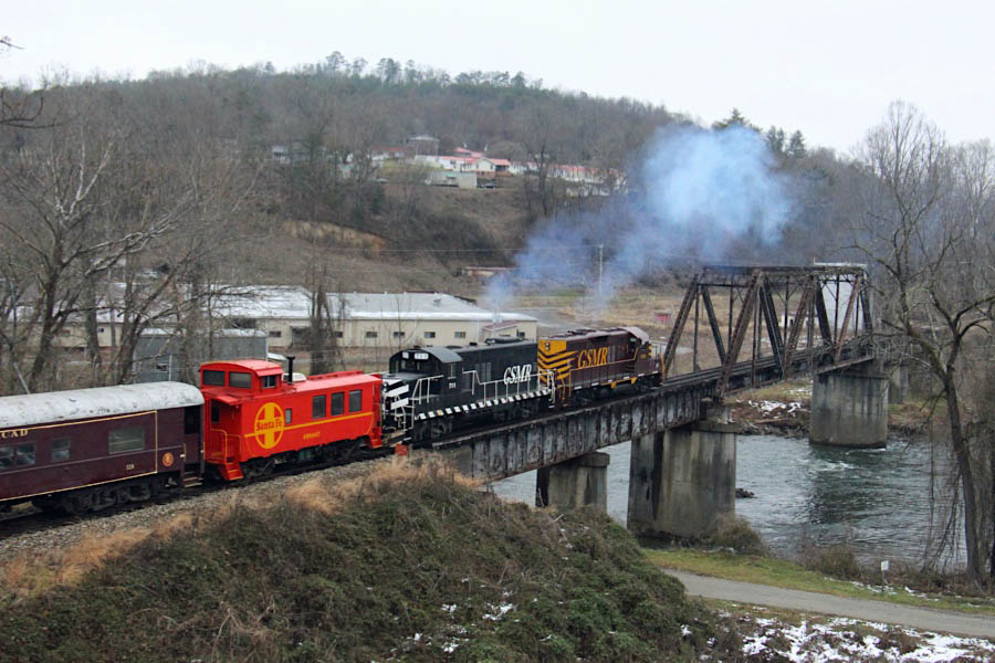
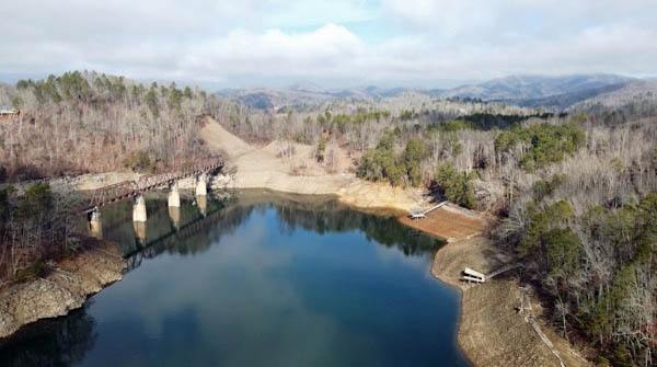
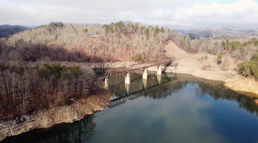
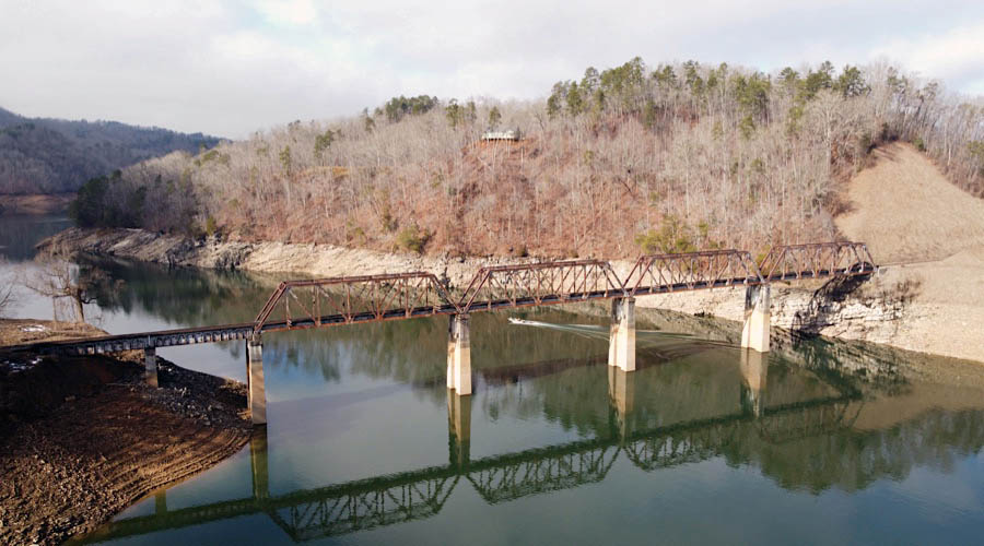
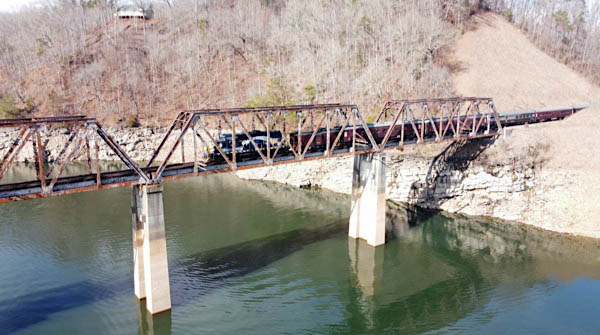
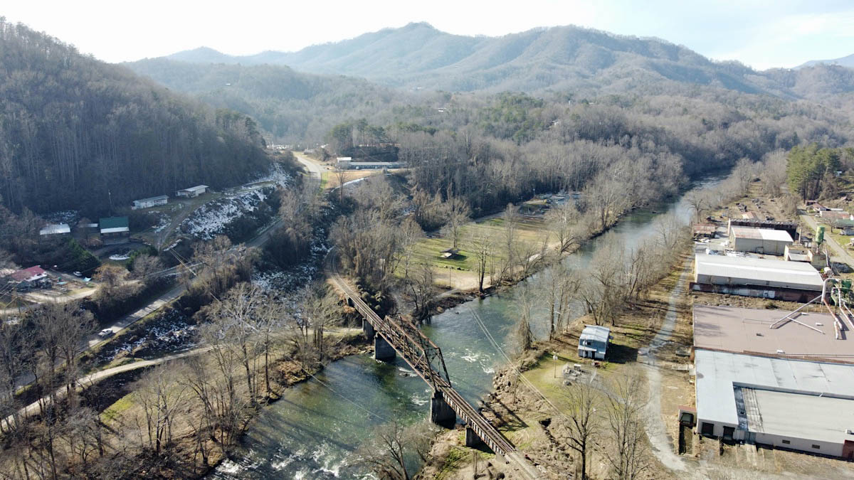
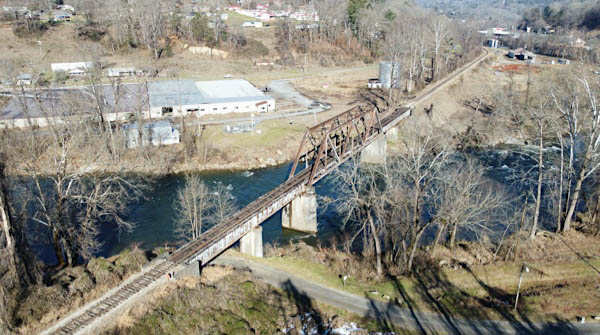
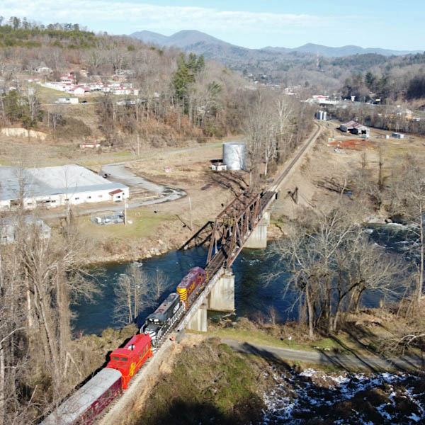
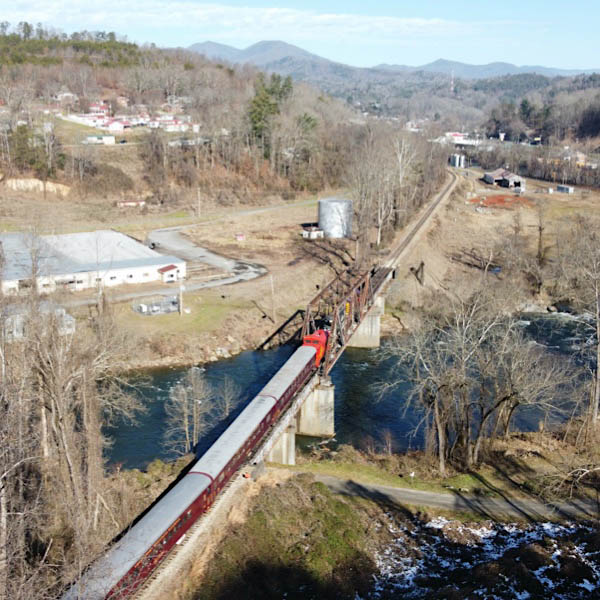
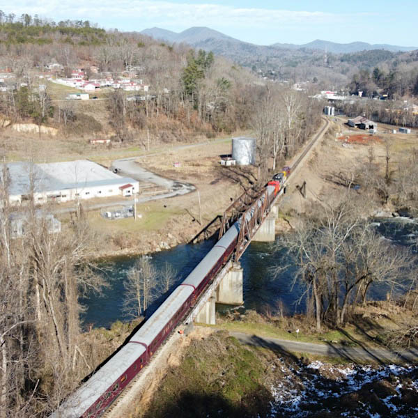
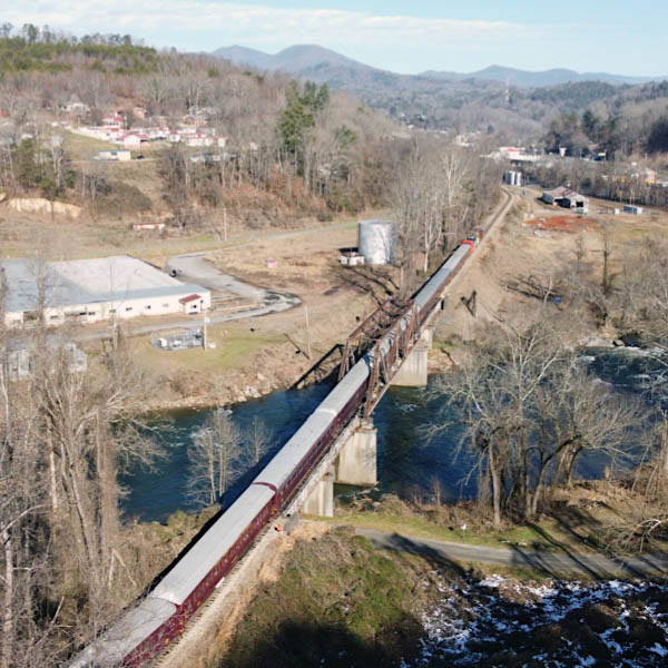
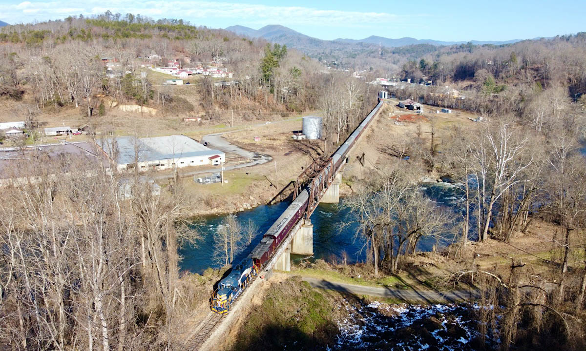
Tuckasegee River Bridge
Bryson City, NC / Dec 2020 / RWH
Click to see the Tuckasegee River bridge plotted on a Google Maps page
Bryson City, NC / Dec 2020 / RWH
Bryson City, NC / Dec 2020 / RWH
Bryson City, NC / Dec 2020 / RWH
Bryson City, NC / Dec 2020 / RWH
Bryson City, NC / Dec 2020 / RWH
Bryson City, NC / Dec 2020 / RWH
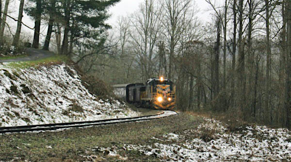
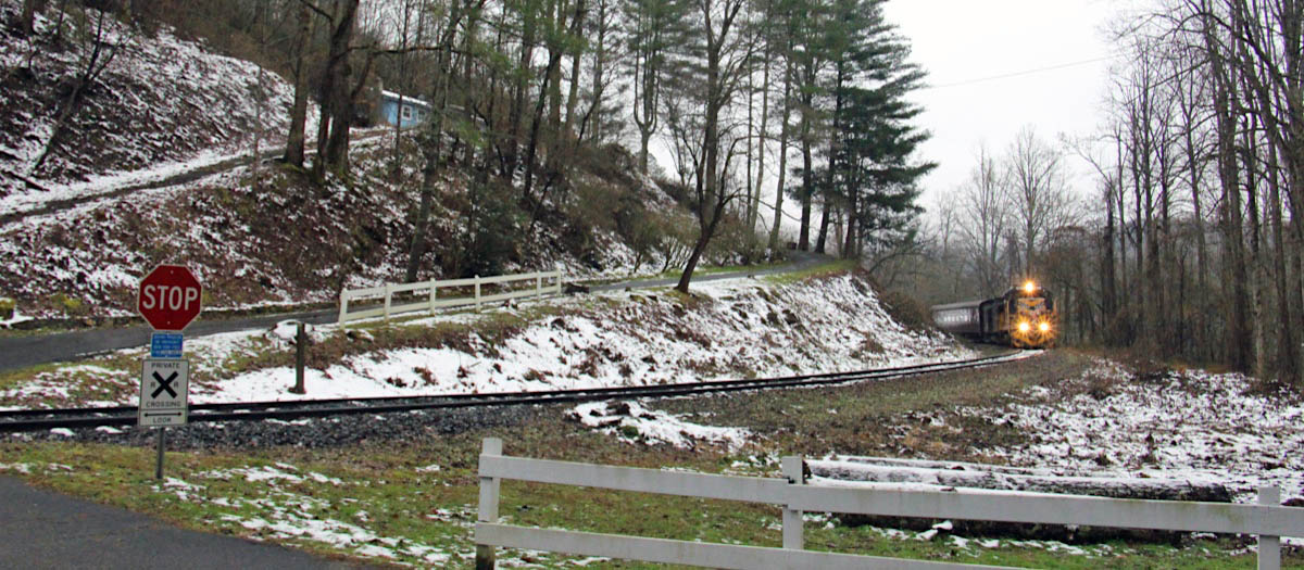
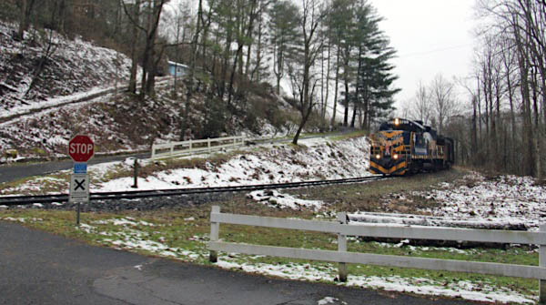
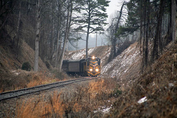
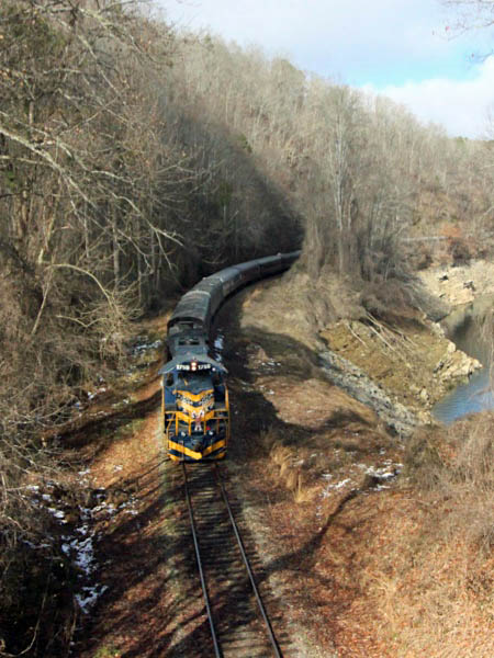
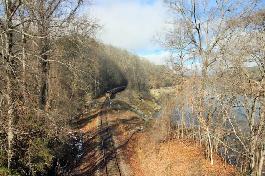
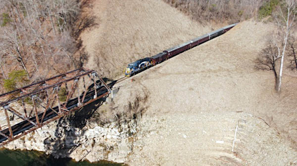
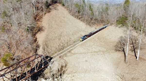
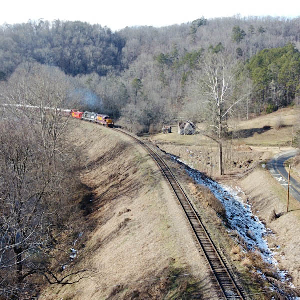
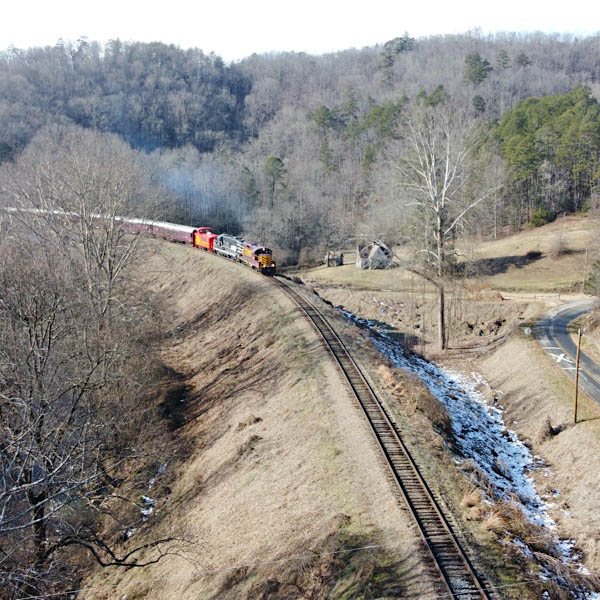
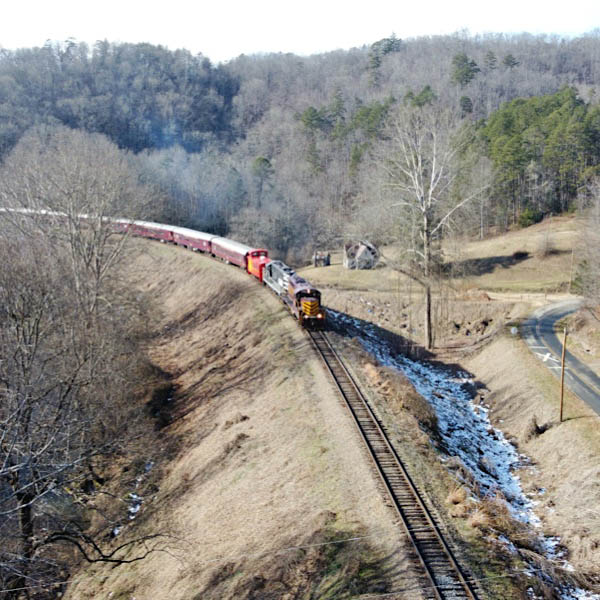
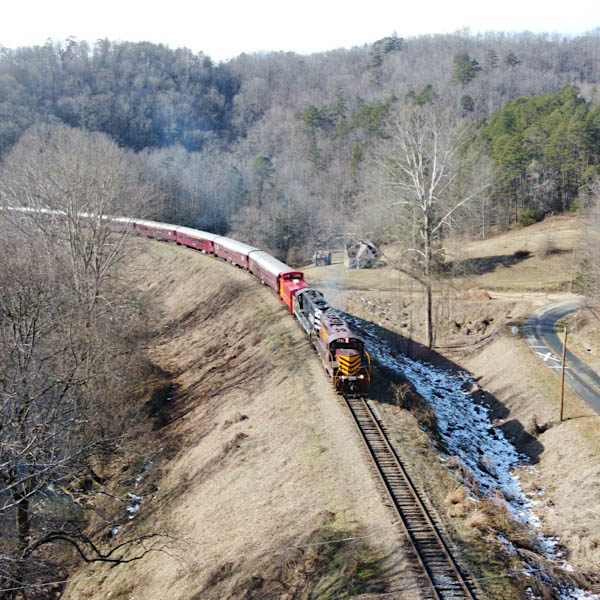
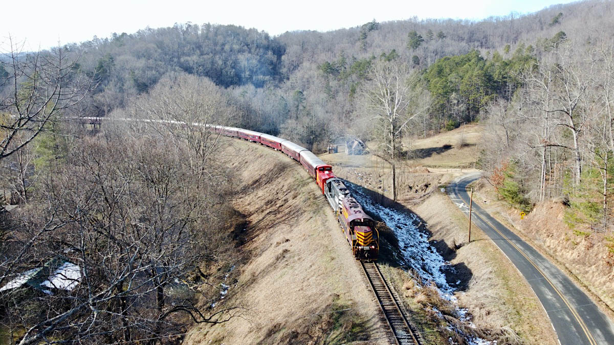
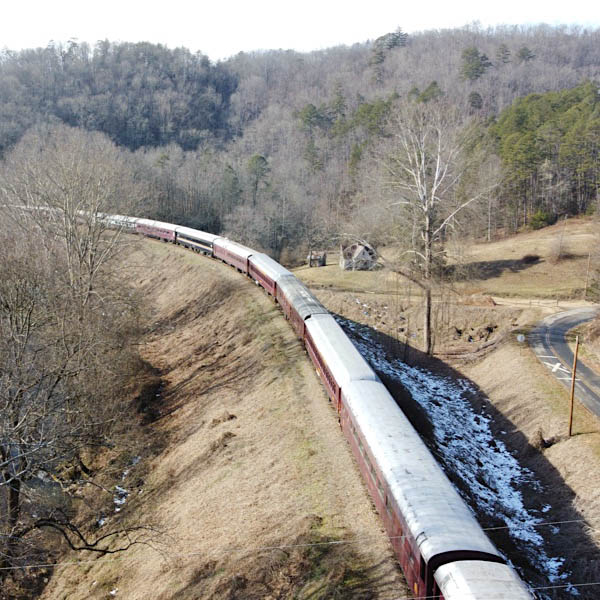
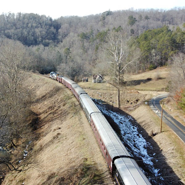
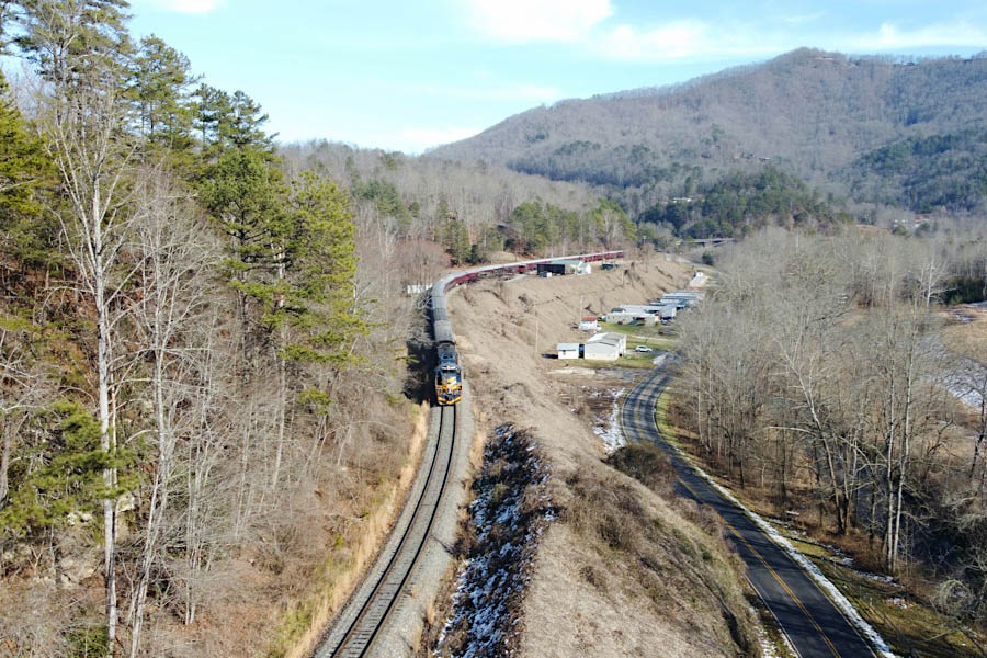
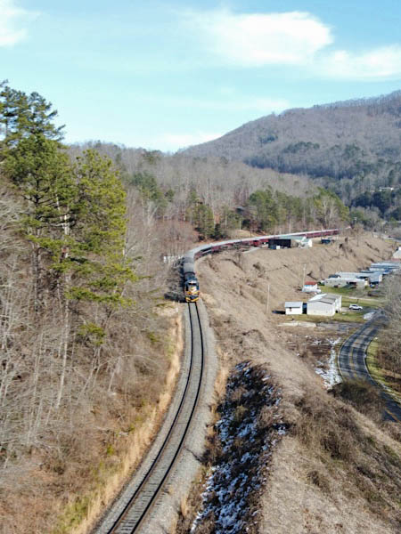
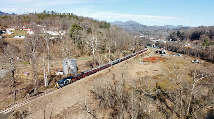
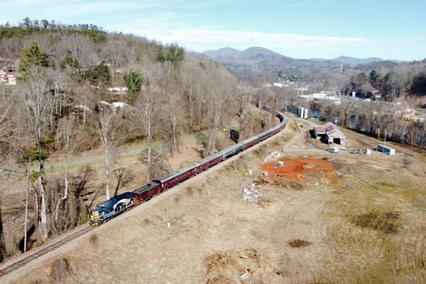
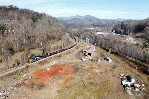
Horseshoe Curve
During World War II, the right of way of Southern Railway's Murphy Branch was relocated between Bryson City and the village of Almond in order to make way for the development of Fontana Lake. Whereas the previous route followed the Tuckasegee River west of Bryson City, the new routing made use of a series of sweeping curves to climb out of the riverbed and, crisscrossing the Buckner Branch, navigate the various foothills on its routing west toward Almond. US Route 19 follows the current right of way for a few miles southwest of Bryson City, before the railroad heads due west toward its lake crossing.
RWH
Bryson City, NC / Dec 2020 / RWH
Click to see the Buckner Branch Road crossing plotted on a Google Maps page
Bryson City, NC / Dec 2020 / RWH
Bryson City, NC / Dec 2020 / RWH
Bryson City, NC / Dec 2020 / RWH
Bryson City, NC / Dec 2020 / RWH
Bryson City, NC / Dec 2020 / RWH
Click to see this location along Buckner Branch Road plotted on a Google Maps page
Bryson City, NC / Dec 2020 / RWH
Bryson City, NC / Dec 2020 / RWH
Bryson City, NC / Dec 2020 / RWH
Bryson City, NC / Dec 2020 / RWH
Bryson City, NC / Dec 2020 / RWH
Bryson City, NC / Dec 2020 / RWH
Bryson City, NC / Dec 2020 / RWH
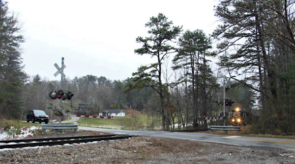
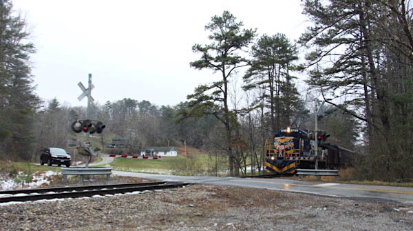
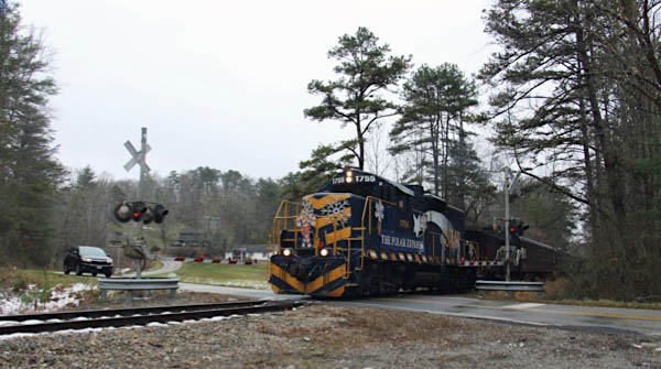
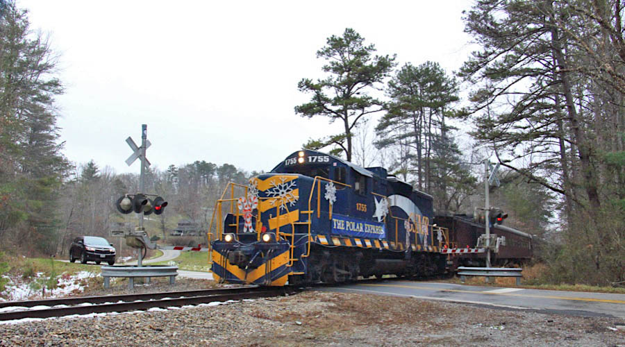
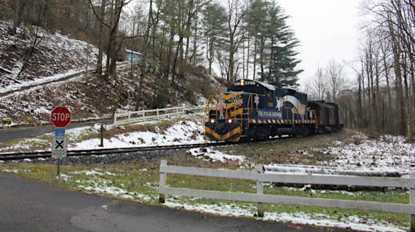
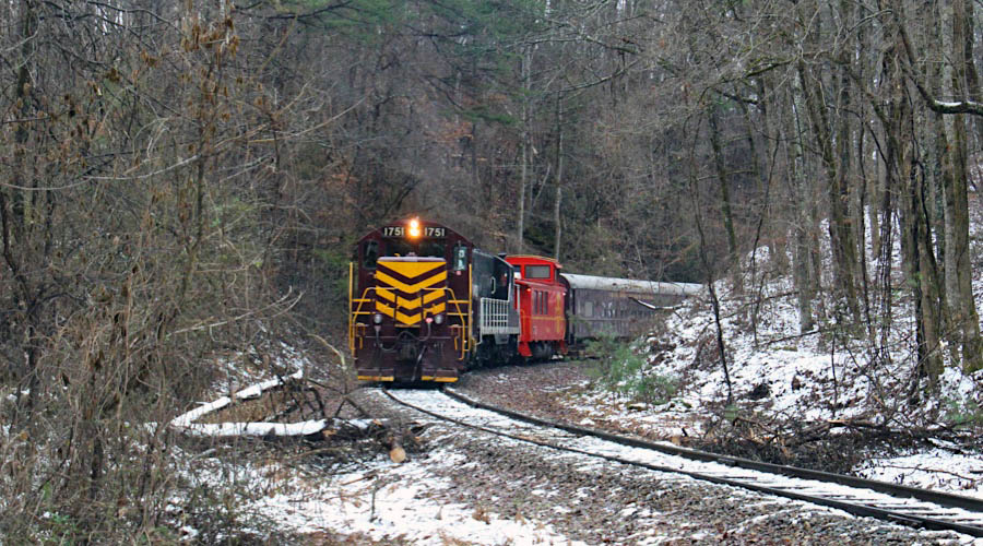
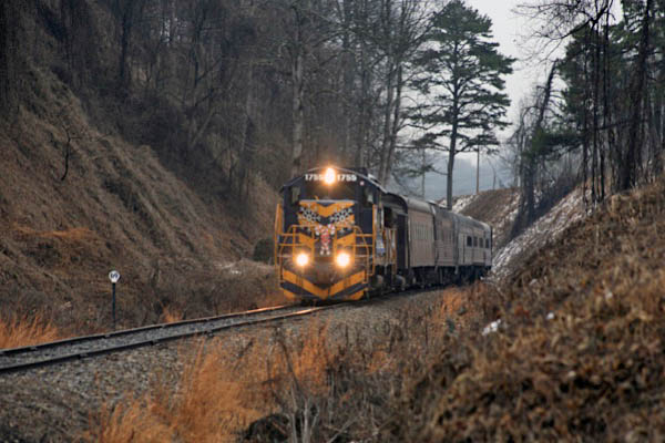
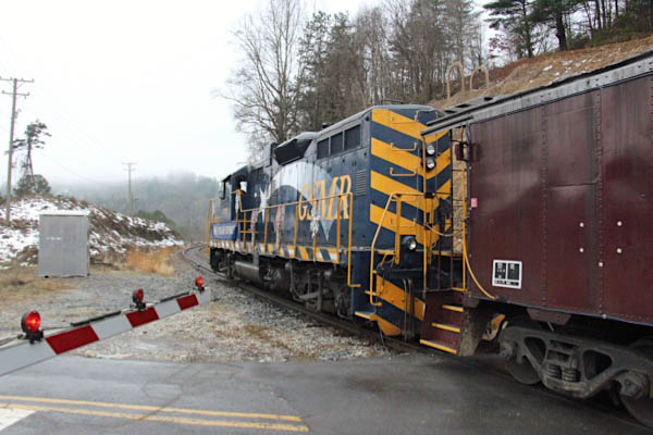
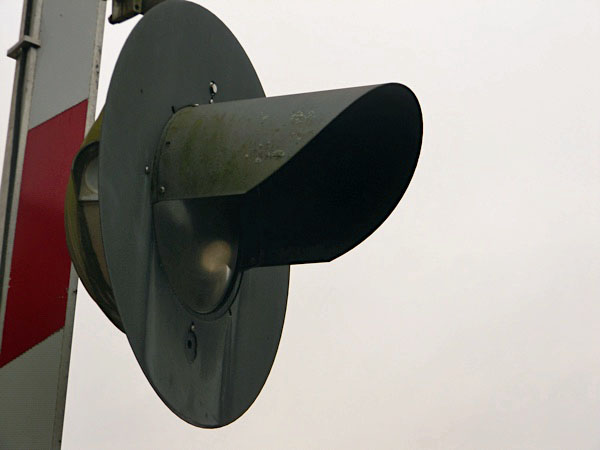
 Route 19 chase
Bryson City, NC / Dec 2020 / Ben Wells
Bryson City, NC / Dec 2020 / Ben Wells
Bryson City, NC / Dec 2020 / Ben Wells
Click to see the Dehart Cemetery Road crossing plotted on a Google Maps page
Bryson City, NC / Dec 2020 / RWH
Bryson City, NC / Dec 2020 / RWH
Bryson City, NC / Dec 2020 / RWH

Bryson City, NC / Dec 2020 / RWH
Bryson City, NC / Dec 2020 / RWH
Bryson City, NC / Dec 2020 / RWH
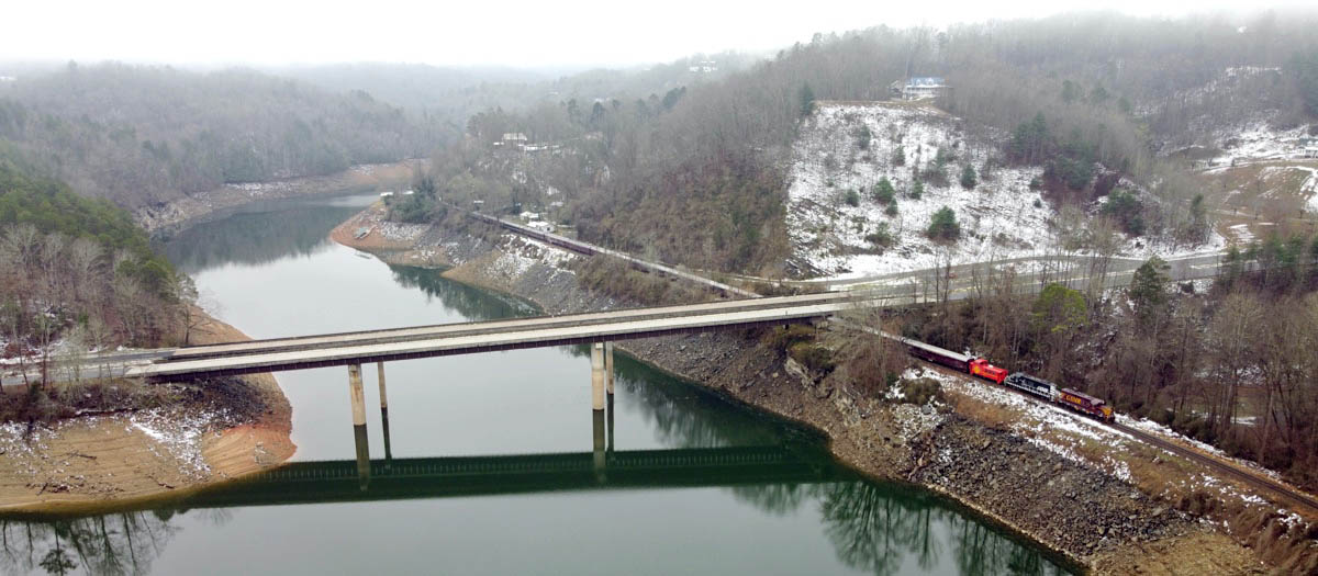
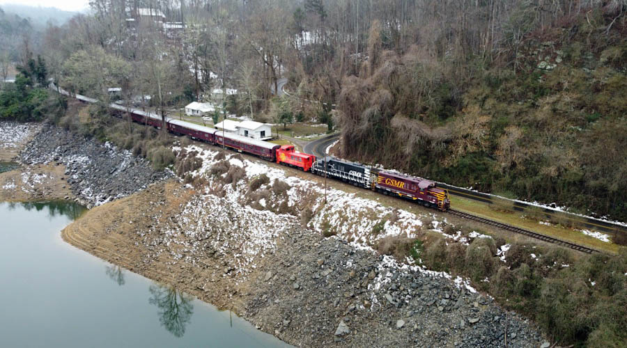
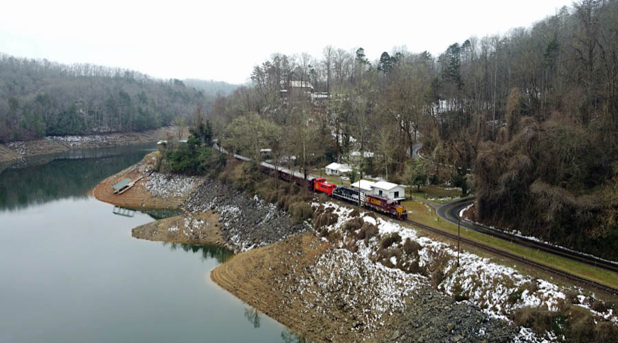
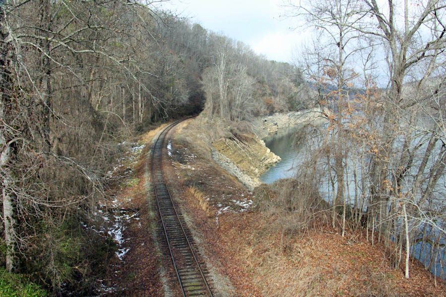
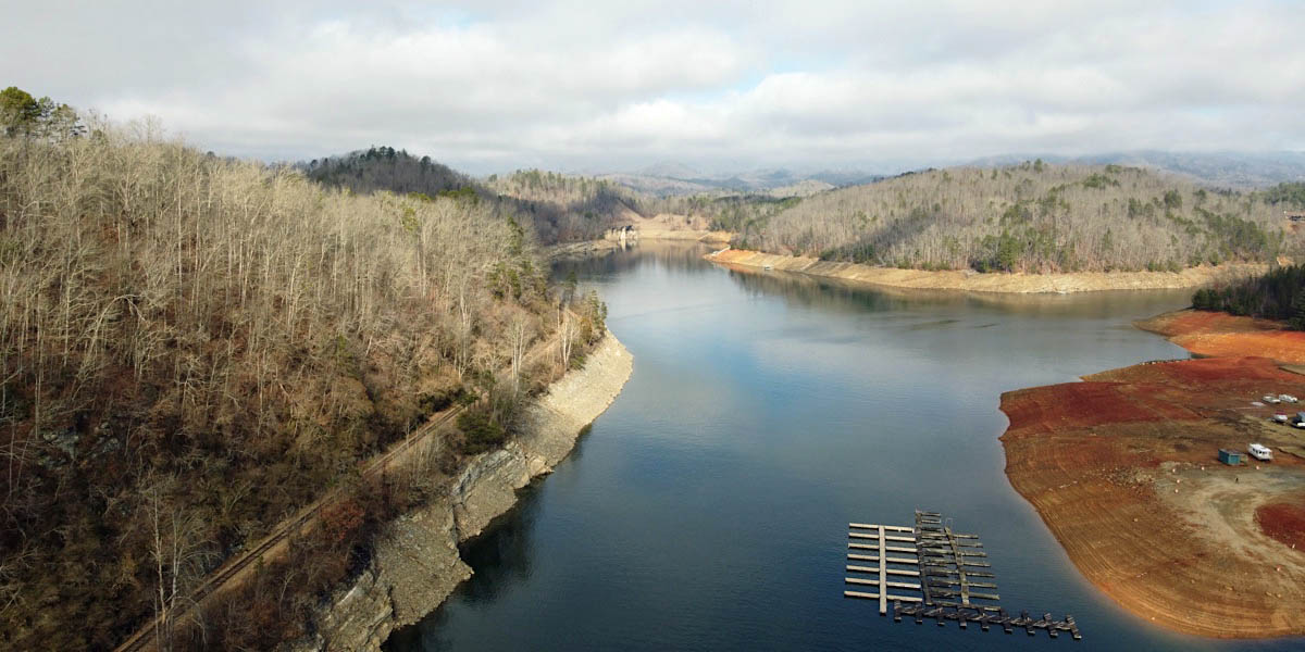
Fontana Lake
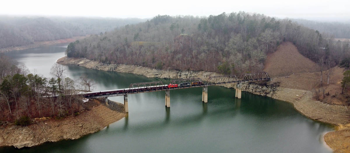
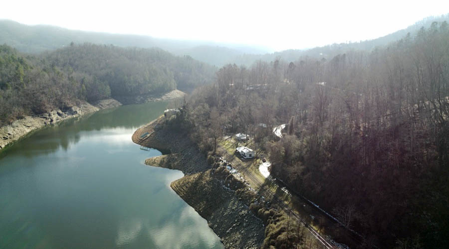
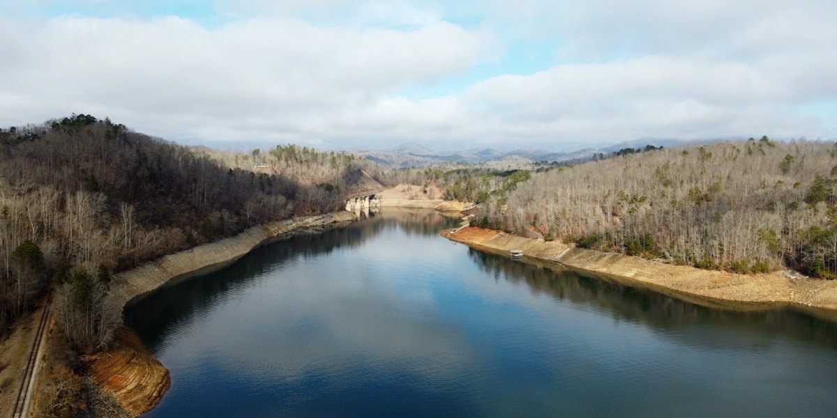 Fontana Lake is a reservoir impounded by Fontana Dam on the Little Tennessee River located in Graham and Swain counties in North Carolina. The lake forms part of the southern border of Great Smoky Mountains National Park and the northern border of part of the Nantahala National Forest. Depending on water levels, the lake is about 17 miles long. The eastern end is the Tuckasegee River near Bryson City. It has an average depth of 135 feet and reaches a maximum depth of 440 feet, making it the deepest lake in North Carolina. The lake has many inlets into coves and many islands formed from former mountain peaks, especially near the eastern end. As with most dam-impounded lakes, the steep banks are exposed when water levels are low. Many towns were submerged shortly after the creation of Fontana Lake, such as Proctor and Judson. Fontana is named after a Montvale Lumber Company logging town that was once situated at the mouth of Eagle Creek on the lake's north shore. The name is derived from the Italian word for "fountain".
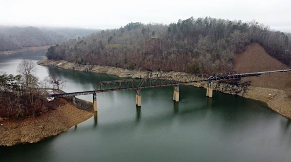
Fontana overhead photo above at Fontana Lake, NC / Dec 2020 / RWH
GSM route map / RWH
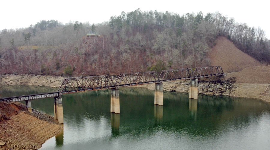
Click to see the Fontana Lake Bridge plotted on a Google Maps page
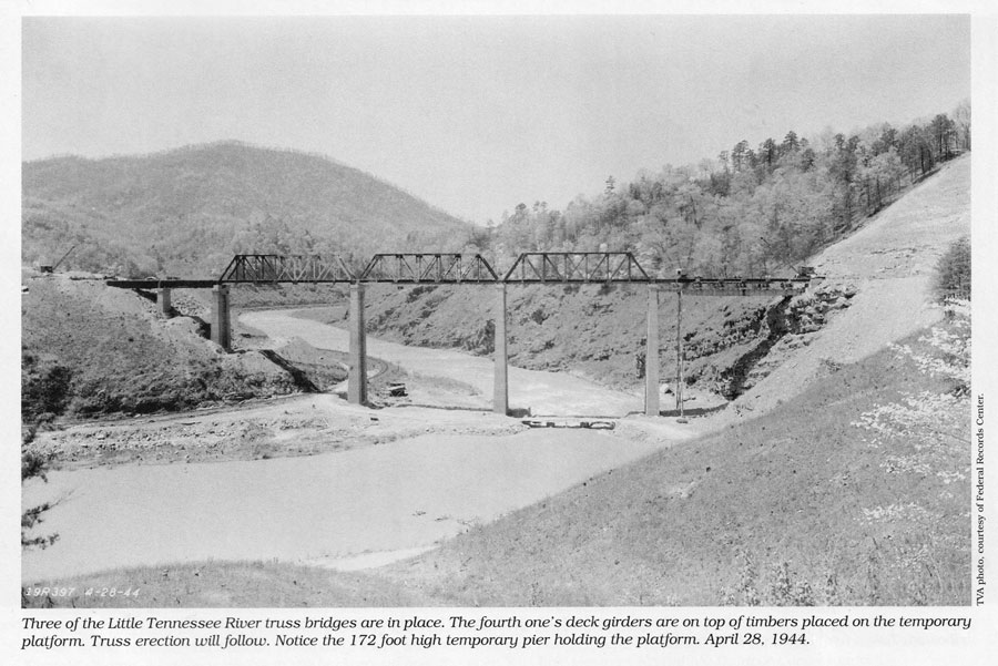
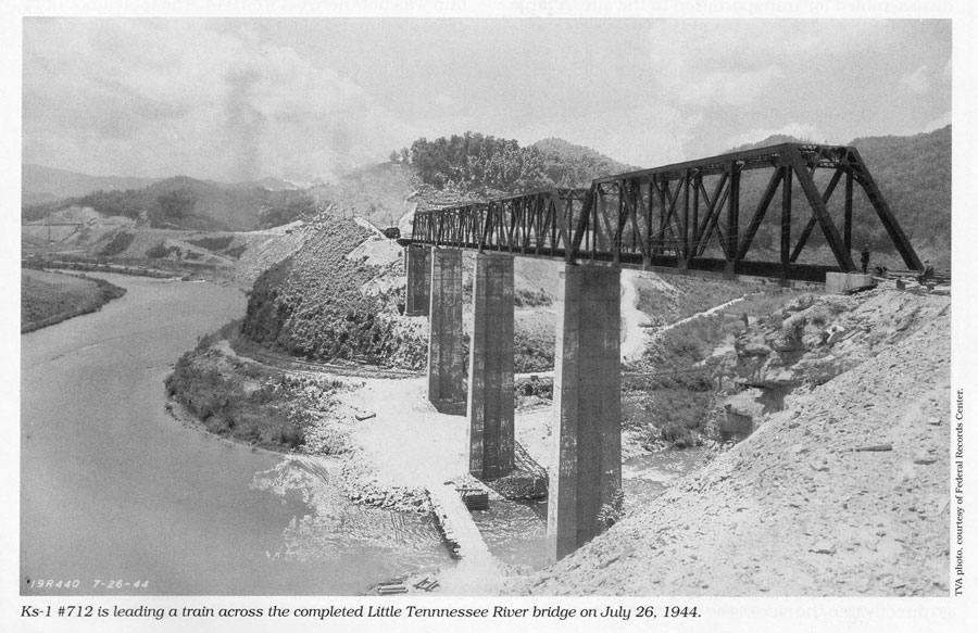
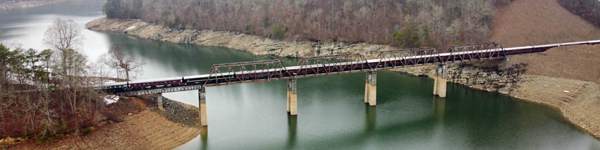
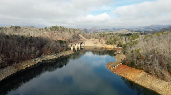
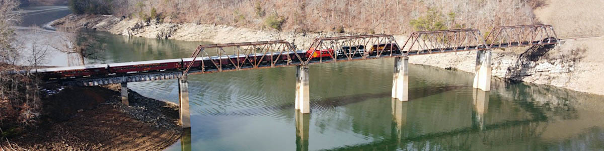
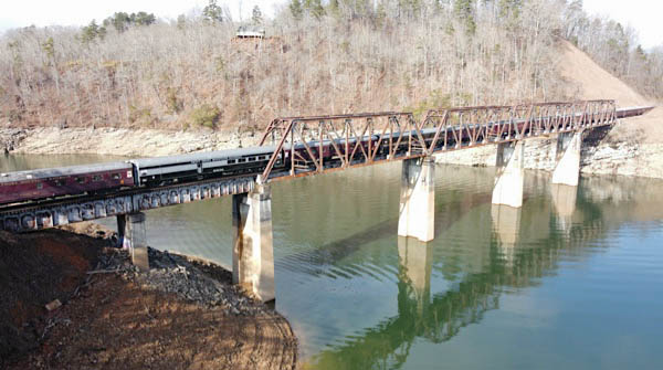
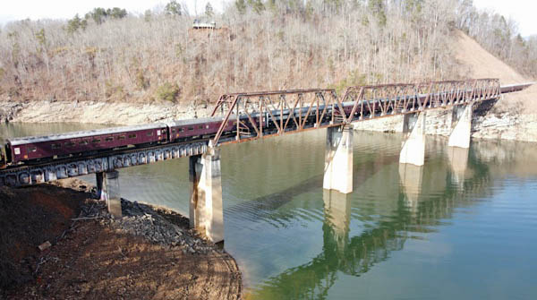
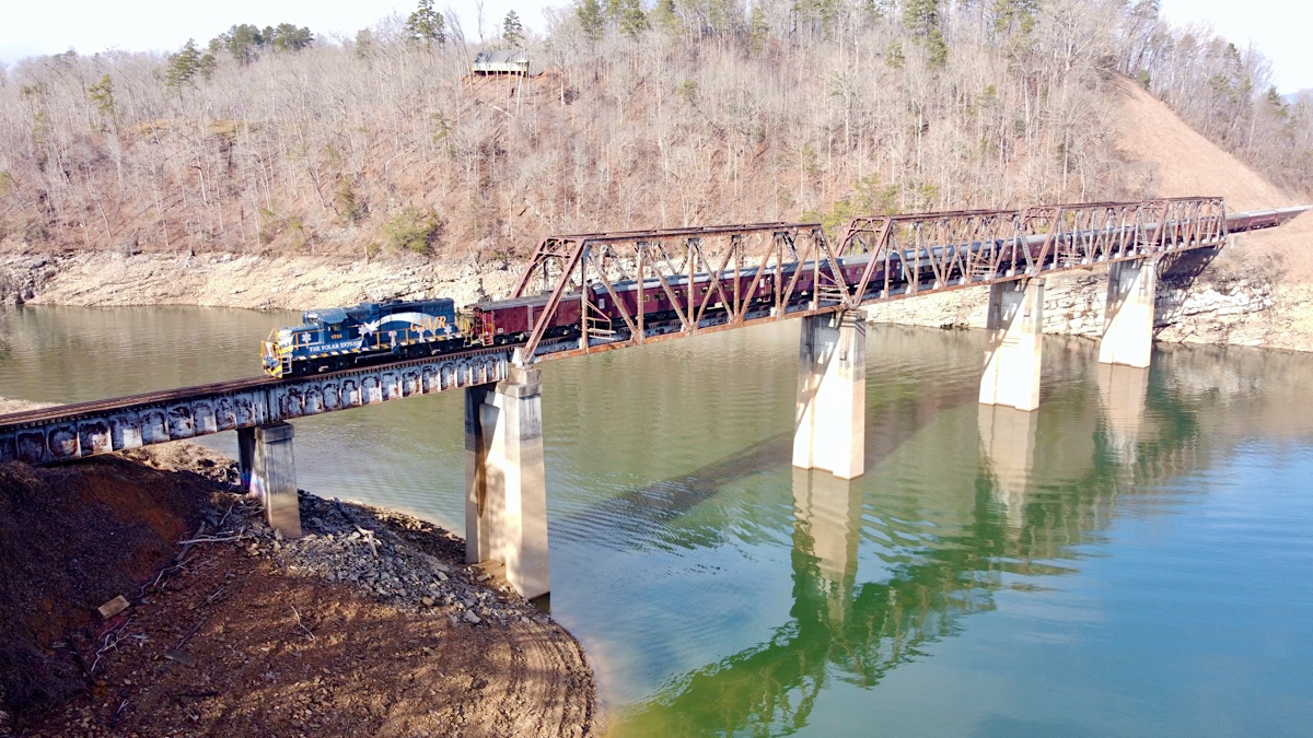
The most extensive bridge work was required at the Little Tennessee River crossing, which is about a mile east of Almond. This bridge is 777 feet long, consisting of four 157 foot through truss spans and two 67 foot deck plate girder spans. The reinforced concrete piers that support the trusses are 160 feet high. This was quite a civil engineering feat. The five concrete piers were constructed first. A temporary bridge for vehicle crossing was built at the base of the piers. The first plate girder bridge was then set in place by a crane on the western abutment and the first pier. Since the treads on the crane were wider than the girder bridge, large beams were then laid across the bridge, twice the length of the crawler crane. The crane moved onto the bridge. When it reached the end of the beams, the ones not under the crane were picked up and moved in front of it. In this fashion, the crane could move forward to the end of the first girder and set the second one in place. Then, it could move to the end of the second one in the same manner.
 The most extensive bridge work was required at the Little Tennessee River crossing, which is about a mile east of Almond. This bridge is 777 feet long, consisting of four 157 foot through truss spans and two 67 foot deck plate girder spans. The reinforced concrete piers that support the trusses are 160 feet high. This was quite a civil engineering feat. The five concrete piers were constructed first. A temporary bridge for vehicle crossing was built at the base of the piers. The first plate girder bridge was then set in place by a crane on the western abutment and the first pier. Since the treads on the crane were wider than the girder bridge, large beams were then laid across the bridge, twice the length of the crawler crane. The crane moved onto the bridge. When it reached the end of the beams, the ones not under the crane were picked up and moved in front of it. In this fashion, the crane could move forward to the end of the first girder and set the second one in place. Then, it could move to the end of the second one in the same manner.
The truss bridges presented more of a challenge. The concrete piers and two girder bridges were finished by November of 1943. The trusses had been disassembled for transportation to the site. A large platform almost the length of the truss was made up from four plate girders assembled side by side. This was carefully lifted into place by the crane. Temporary piers made from wood and steel were used to support this platform. This gave a surface for placing the many small deck plate girders that make up the track support for a truss bridge. Once they were in place, the crane could move onto them and assemble the truss. Each of the four trusses were assembled in this manner, working toward the east end of the bridge. Trains were travelling across the bridge by July of 1944.
Michael George — Southern Railway's Murphy Branch — 1996
from Southern Railway's Murphy Branch
— Michael George / collection
from Southern Railway's Murphy Branch
— Michael George / collection
Fontana Lake, NC / Dec 2020 / RWH
Fontana Lake, NC / Dec 2020 / RWH
Fontana Lake, NC / Dec 2020 / RWH
Fontana Lake, NC / Dec 2020 / RWH
Fontana Lake, NC / Dec 2020 / RWH
Fontana Lake, NC / Dec 2020 / RWH
Fontana Lake, NC / Dec 2020 / RWH
Fontana Lake, NC / Dec 2020 / RWH
Fontana Lake, NC / Dec 2020 / RWH
Fontana Lake, NC / Dec 2020 / RWH
Click to see the Route 28 bridge plotted on a Google Maps page
Fontana Lake, NC / Dec 2020 / RWH
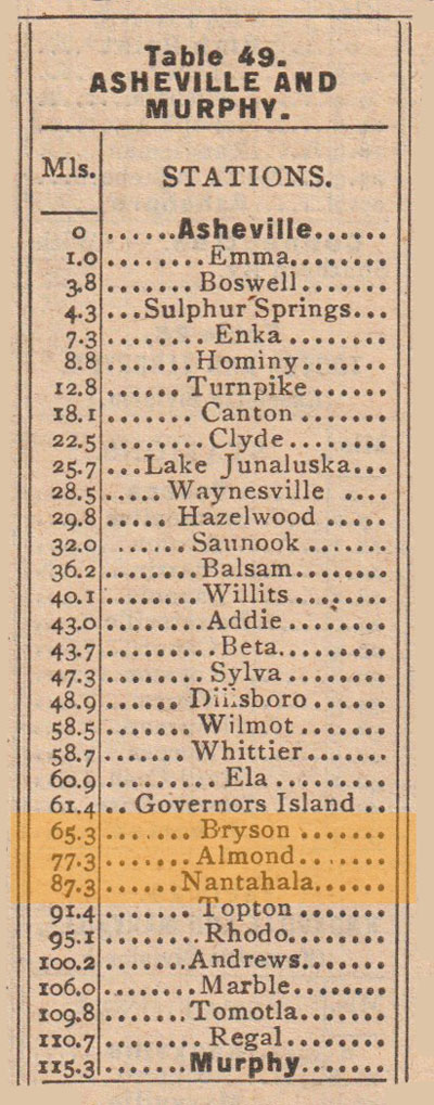
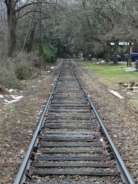
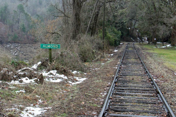
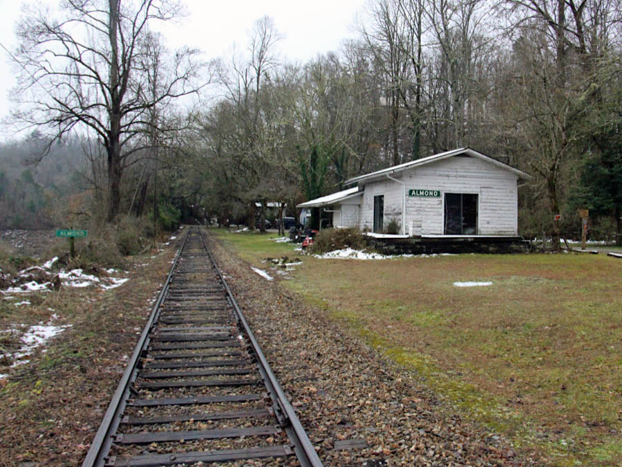
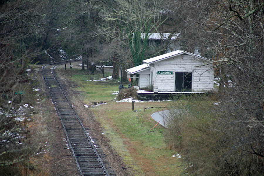
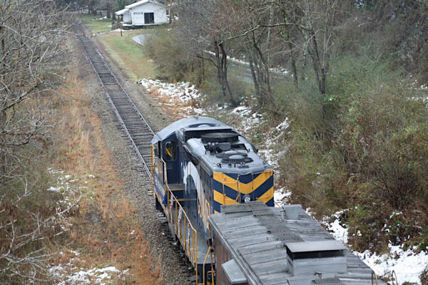
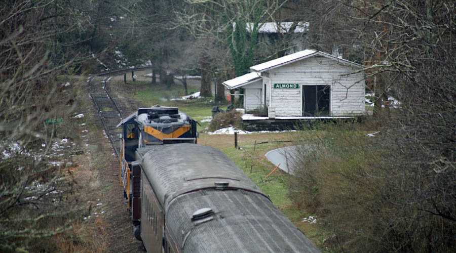
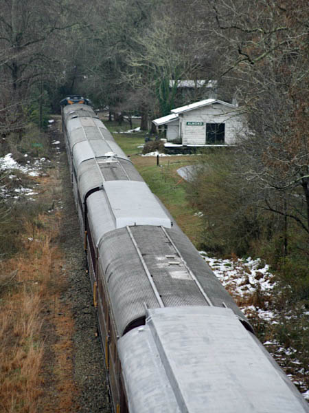
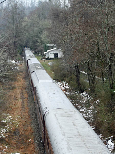
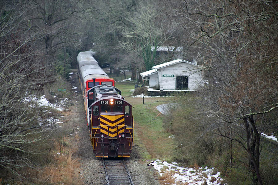
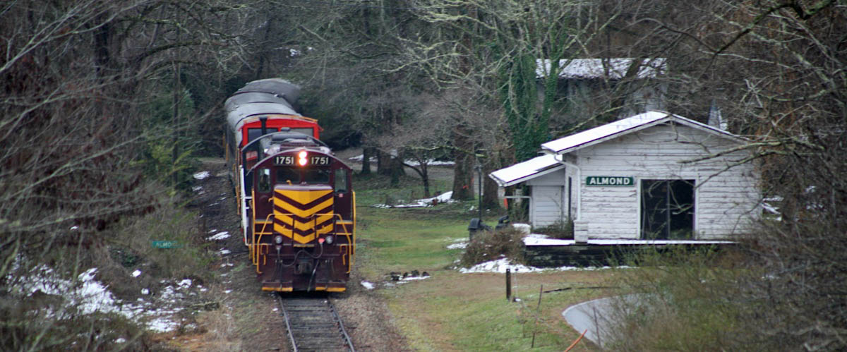
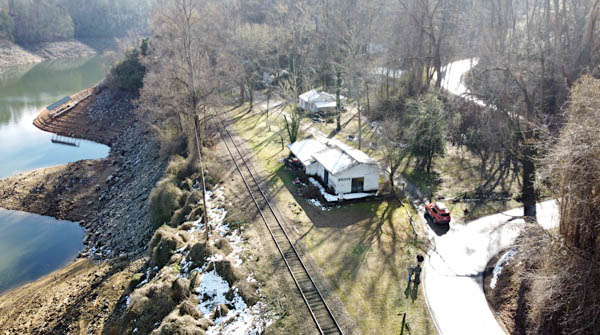
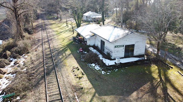
 Almond
GSM route map / RWH
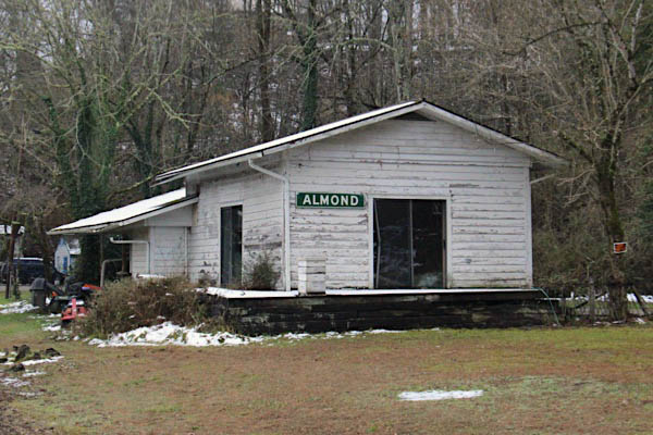
Almond, NC / Dec 2020 / RWH
Almond, NC / Dec 2020 / RWH
Click to see the Almond depot plotted on a Google Maps page
Almond, NC / Dec 2020 / RWH
Almond, NC / Dec 2020 / Ben Wells
Almond, NC / Dec 2020 / Ben Wells
Almond, NC / Dec 2020 / Ben Wells
Almond, NC / Dec 2020 / Ben Wells
Dec 2020 / Ben Wells
Dec 2020 / Ben Wells
Almond, NC / Dec 2020 / Ben Wells
Almond, NC / Dec 2020 / Ben Wells
Almond, NC / Dec 2020 / Ben Wells
Almond, NC / Dec 2020 / RWH
Almond, NC / Dec 2020 / Ben Wells
Almond, NC / Dec 2020 / RWH
 Wesser
GSM route map / RWH
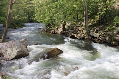
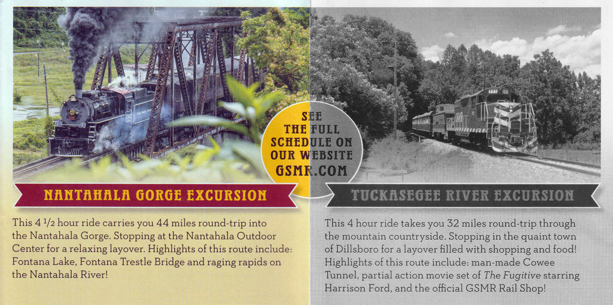
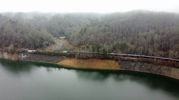
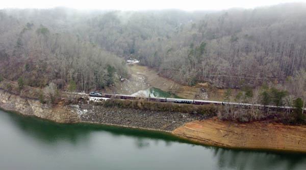
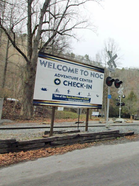
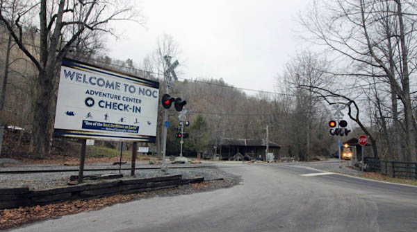
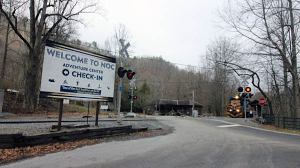
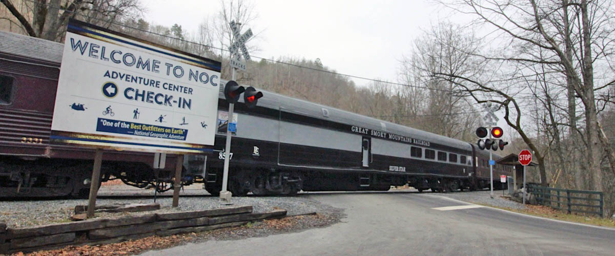
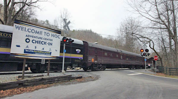
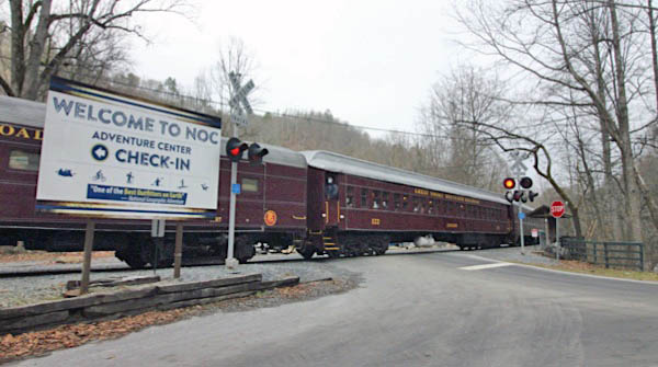
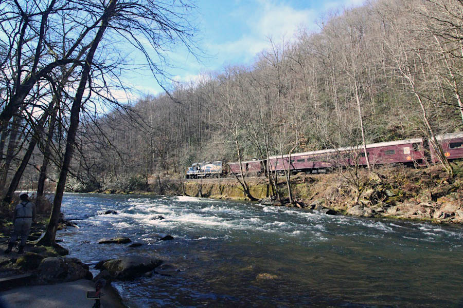
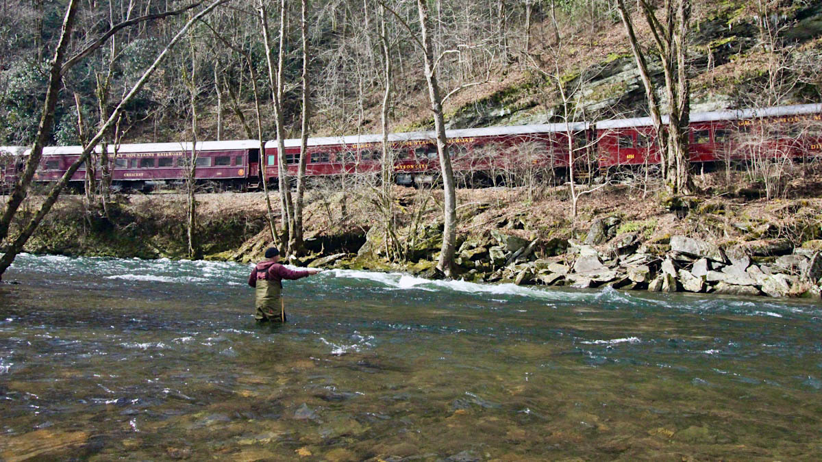
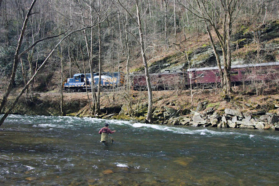
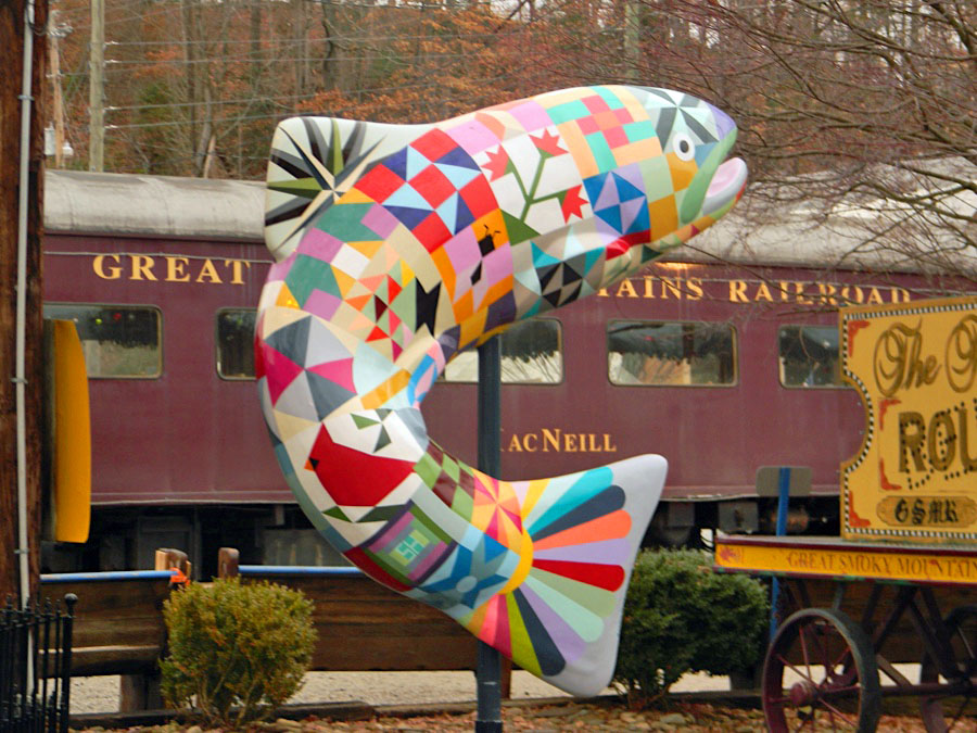
North Carolina's shimmering Nantahala River, located just outside Bryson City, NC, at 13077 Highway 19 West, Bryson City, NC 28713. This location offers river rafting through family-friendly rapids that are mild but exciting. The Nantahala features eight miles of practice on easy Class II rapids before splashing through the exciting Class III whitewater of Nantahala Falls. The Nantahala is also headquarters of the Nantahala Outdoor Center. Founded in 1972, NOC is located at the intersection of the Appalachian Trail and the Nantahala River in the Nantahala National Forest. Originally a roadside inn, the company has evolved into one of the largest outdoor recreation companies in the nation, hosting well over one million guests each year.
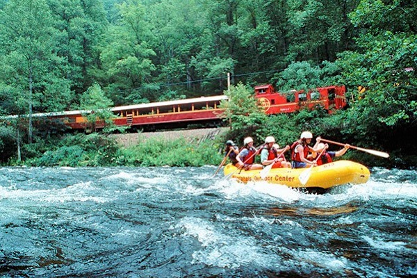 Relax and enjoy the Smoky Mountain scenery by train and raft. Start the day with a relaxing three-hour train ride with impressive views of the Great Smoky Mountains National Park, Fontana Lake and the Nantahala Gorge. At NOC's campus enjoy a riverside lunch while preparing for an exciting rafting trip down the Nantahala River with NOC's expert guides. The two-hour fully-guided rafting trip is full of crystal-clear water, fun rapids and scenic views. The grand finale, Class III Nantahala Falls, will leave everyone smiling before the bus ride back to your vehicle in Bryson City.
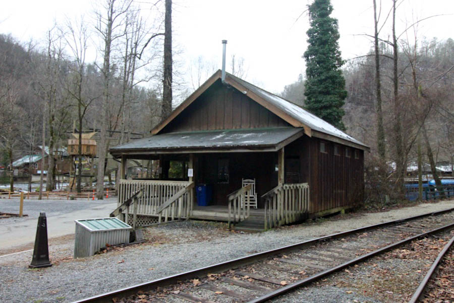
Nantahala Outdoor Center
Wesser, NC / Dec 2020 / RWH
Dec 2020 / RWH
Click to see this location plotted on a Google Maps page
Wesser, NC / Dec 2020 / RWH
Wesser, NC / Dec 2020 / RWH
Wesser, NC / Dec 2020 / RWH
Wesser, NC / Dec 2020 / RWH
Wesser, NC / Dec 2020 / RWH
Wesser, NC / Dec 2020 / RWH
Wesser, NC / Dec 2020 / RWH
Wesser, NC / Dec 2020 / RWH
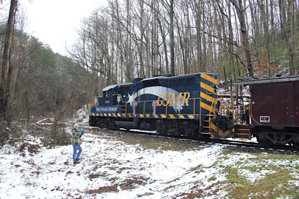
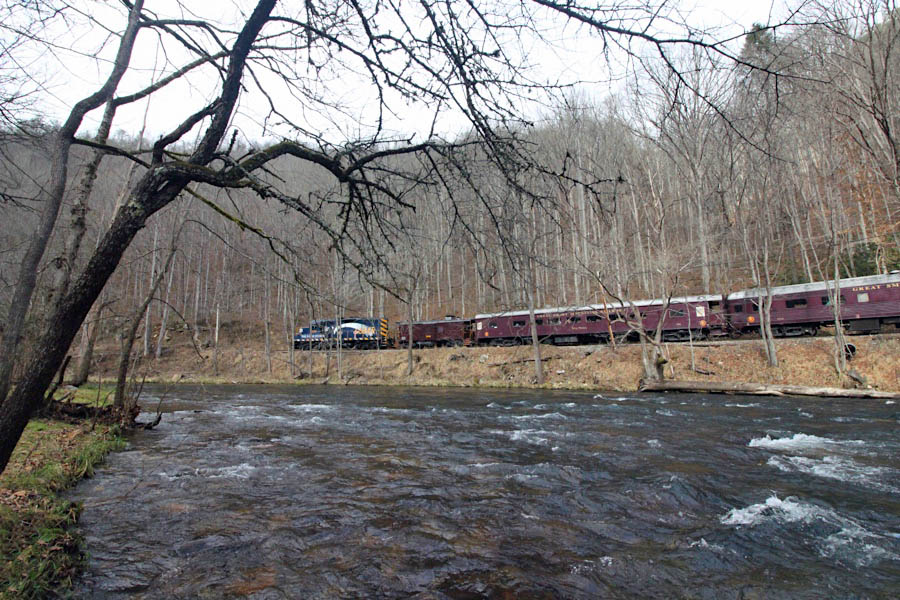
Route 19 chase
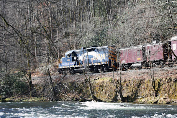
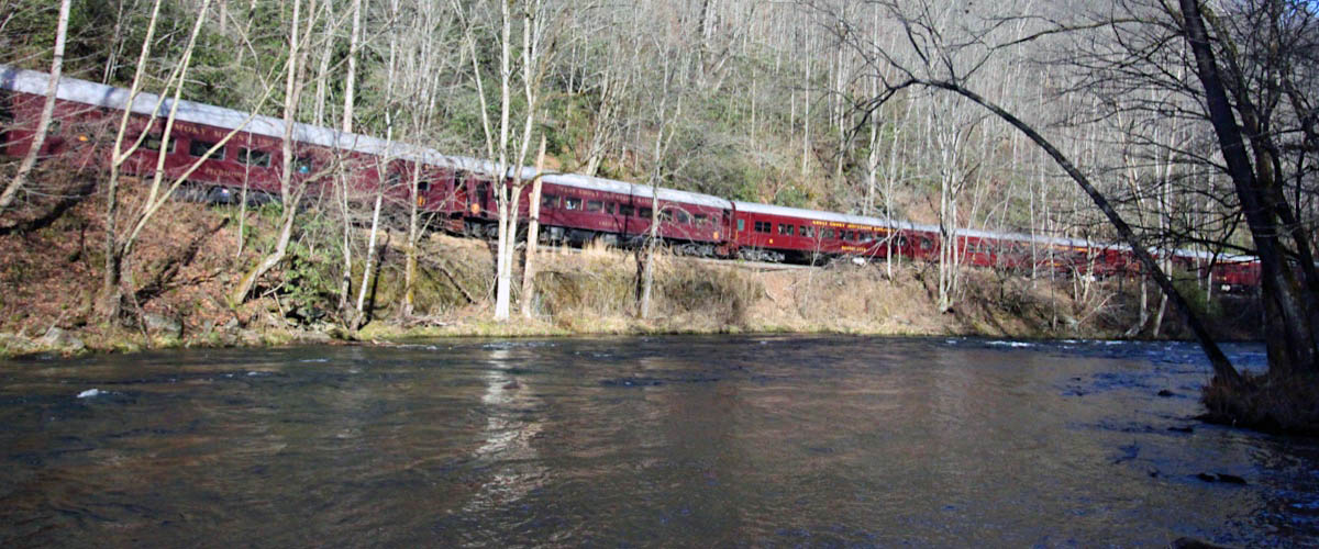
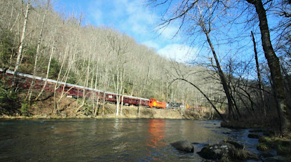
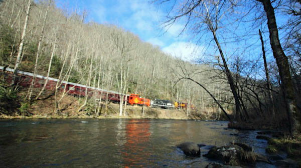
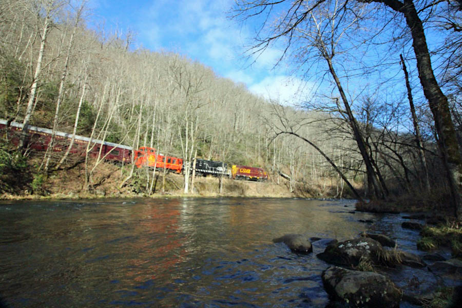
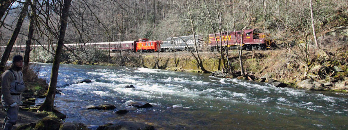
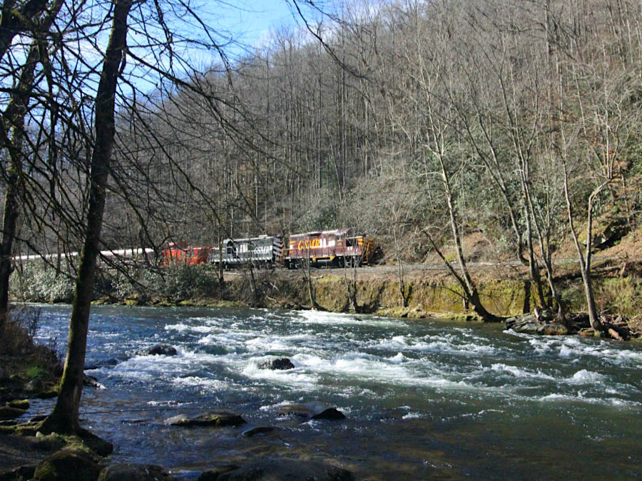
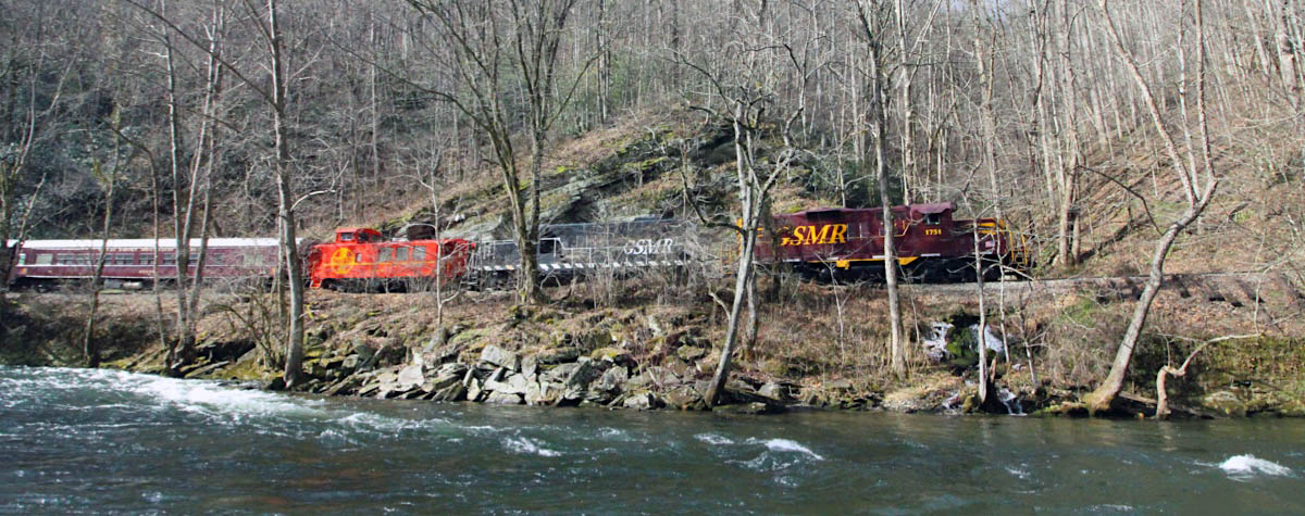
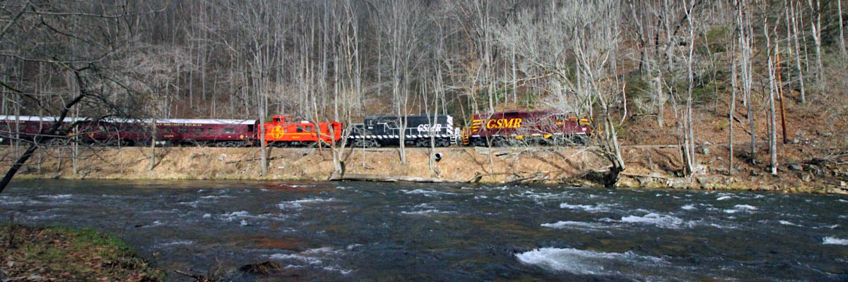
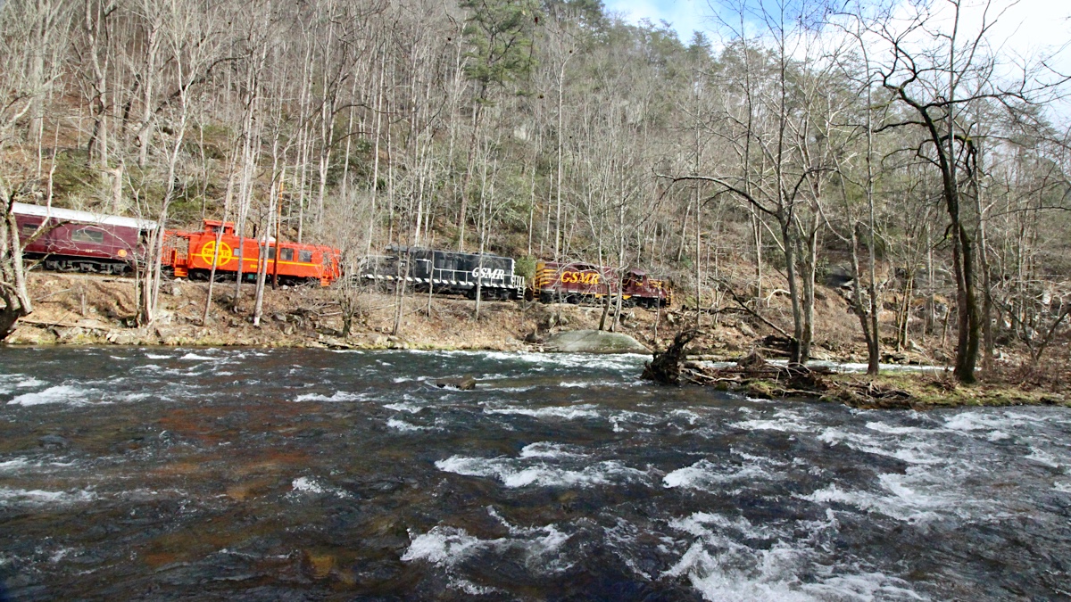
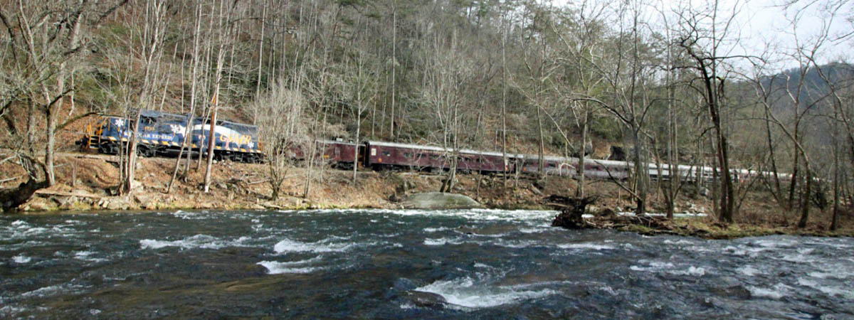
Nantahala, NC / Dec 2020 / RWH
Nantahala, NC / Dec 2020 / RWH
Nantahala, NC / Dec 2020 / Ben Wells
Nantahala, NC / Dec 2020 / Ben Wells
Nantahala, NC / Dec 2020 / RWH
Nantahala, NC / Dec 2020 / RWH
Nantahala, NC / Dec 2020 / RWH
Nantahala, NC / Dec 2020 / RWH
Nantahala, NC / Dec 2020 / RWH
Nantahala, NC / Dec 2020 / RWH
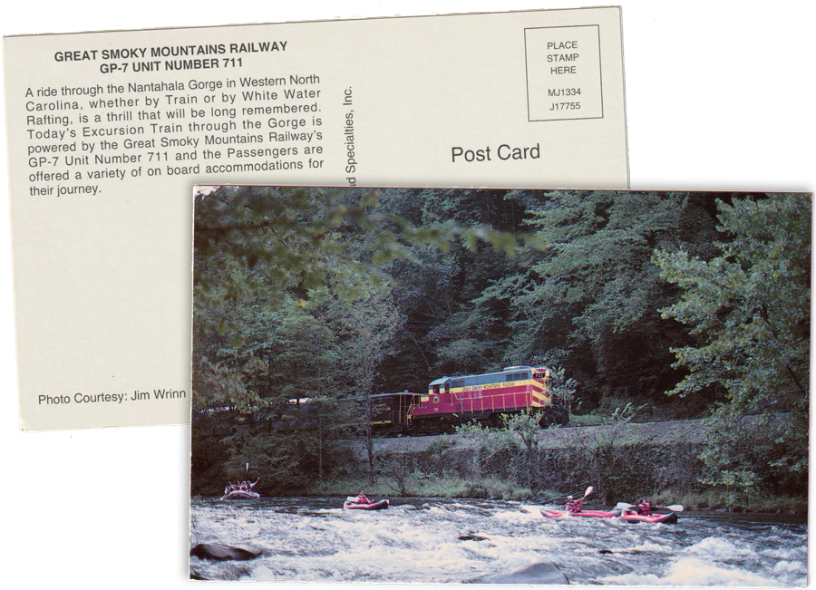
postcard / collection
Nantahala, NC / Dec 2020 / RWH
Nantahala, NC / Dec 2020 / RWH
Nantahala, NC / Dec 2020 / RWH
Nantahala, NC / Dec 2020 / RWH
Nantahala, NC / Dec 2020 / RWH

Nantahala, NC / Dec 2020 / RWH
Nantahala, NC / Dec 2020 / RWH
Nantahala, NC / Dec 2020 / RWH
Nantahala, NC / Dec 2020 / RWH
Nantahala, NC / Dec 2020 / RWH
Nantahala, NC / Dec 2020 / RWH
Nantahala, NC / Dec 2020 / RWH
Nantahala, NC / Dec 2020 / RWH
Nantahala, NC / Dec 2020 / RWH
Nantahala, NC / Dec 2020 / RWH
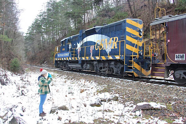
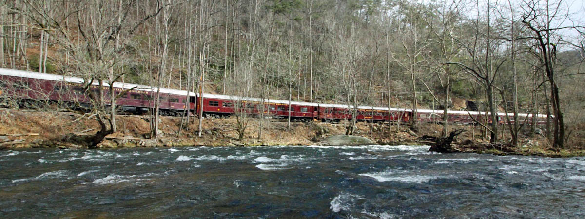
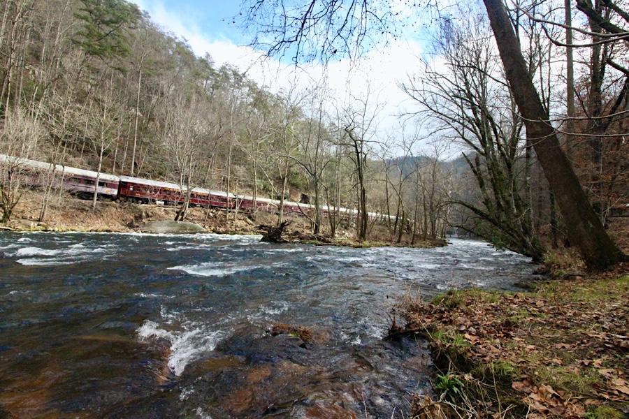
Wesser
Wesser, NC / Dec 2020 / RWH
Wesser, NC / Dec 2020 / RWH
Dec 2020 / RWH
Wesser, NC / Dec 2020 / RWH
Wesser, NC / Dec 2020 / RWH
Wesser, NC / Dec 2020 / RWH
Wesser, NC / Dec 2020 / RWH
Wesser, NC / Dec 2020 / RWH
Wesser, NC / Dec 2020 / RWH
Wesser, NC / Dec 2020 / RWH
Wesser, NC / Dec 2020 / RWH
Dec 2020 / RWH
Almond
Almond, NC / Dec 2020 / RWH
Almond, NC / Dec 2020 / RWH
Almond, NC / Dec 2020 / RWH
Almond, NC / Dec 2020 / RWH
Almond, NC / Dec 2020 / RWH
Almond, NC / Dec 2020 / RWH
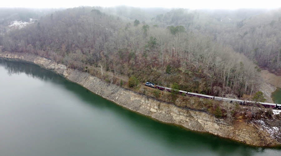
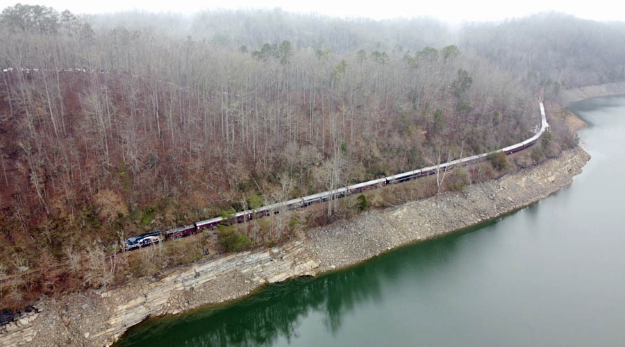
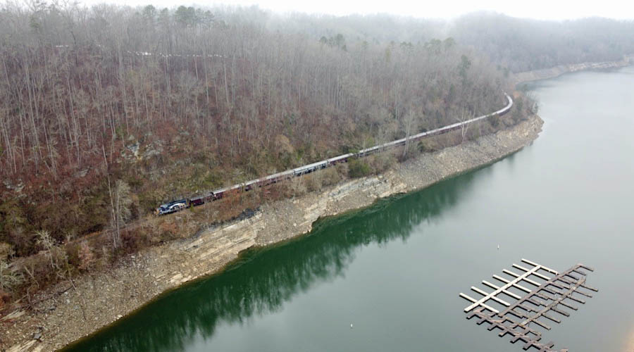
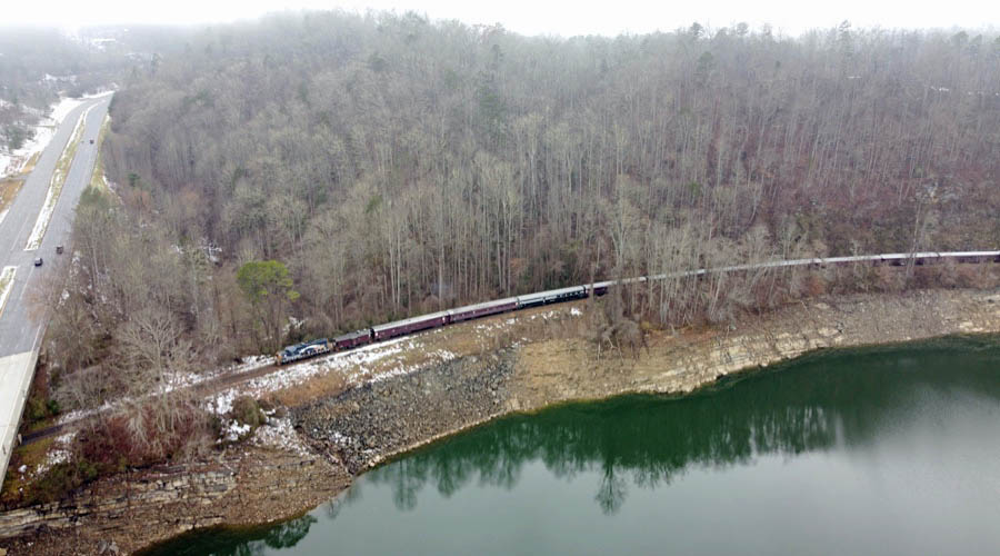
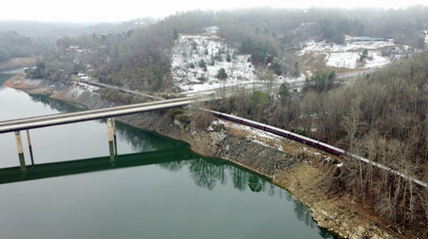
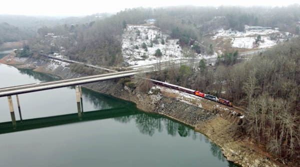
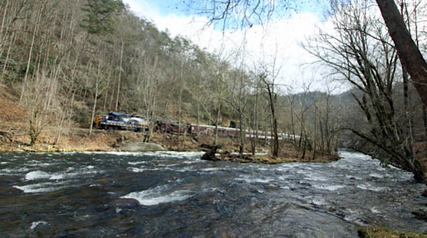
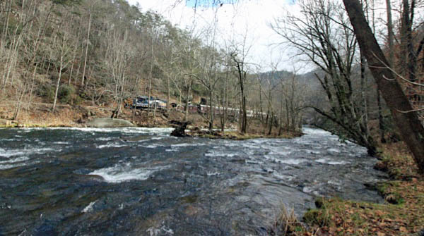
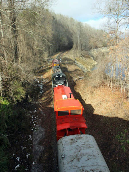
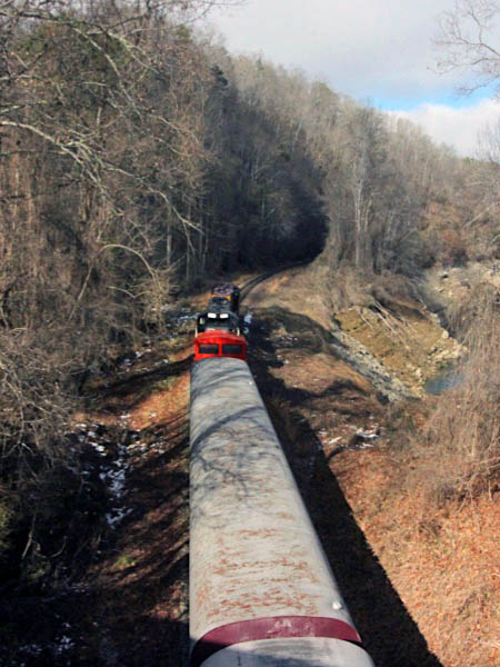
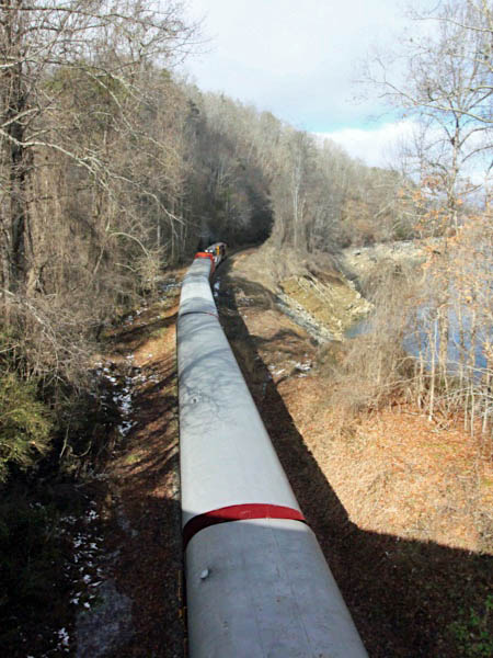
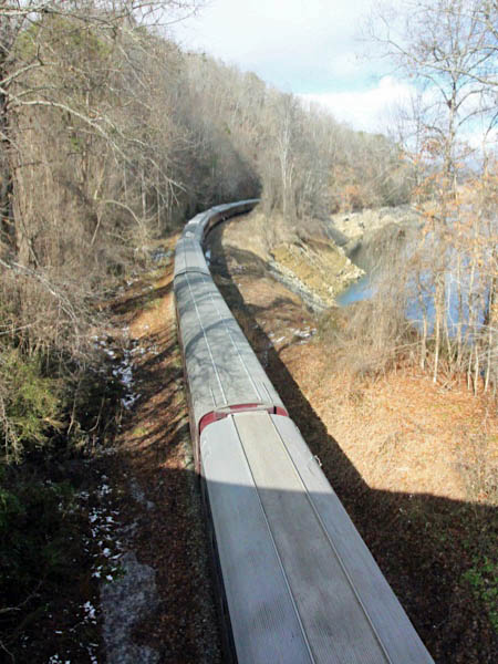
Fontana Lake
Fontana Lake, NC / Dec 2020 / RWH
Fontana Lake, NC / Dec 2020 / RWH
Fontana Lake, NC / Dec 2020 / RWH
Fontana Lake, NC / Dec 2020 / RWH
Fontana Lake, NC / Dec 2020 / RWH
Fontana Lake, NC / Dec 2020 / RWH
Fontana Lake, NC / Dec 2020 / RWH
Fontana Lake, NC / Dec 2020 / RWH
Fontana Lake, NC / Dec 2020 / RWH

Fontana Lake, NC / Dec 2020 / RWH
Fontana Lake, NC / Dec 2020 / RWH
Fontana Lake, NC / Dec 2020 / RWH
Fontana Lake, NC / Dec 2020 / RWH
Fontana Lake, NC / Dec 2020 / RWH
Route 19 chase
Bryson City, NC / Dec 2020 / RWH
Bryson City, NC / Dec 2020 / RWH
Click to see the Dehart Mill Road crossing plotted on a Google Maps page
Bryson City, NC / Dec 2020 / RWH
Bryson City, NC / Dec 2020 / RWH
Bryson City, NC / Dec 2020 / RWH
Dec 2020 / RWH
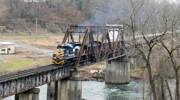
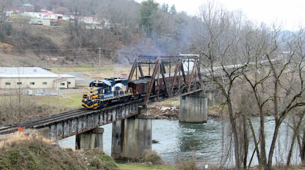
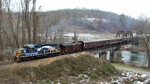
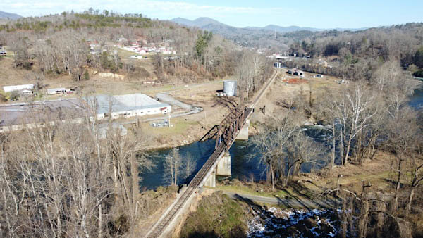
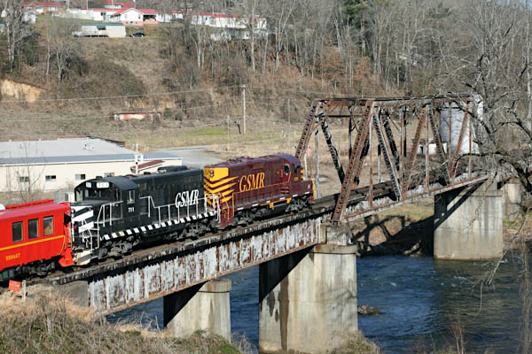
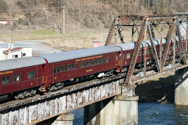
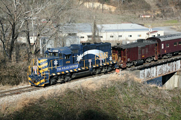
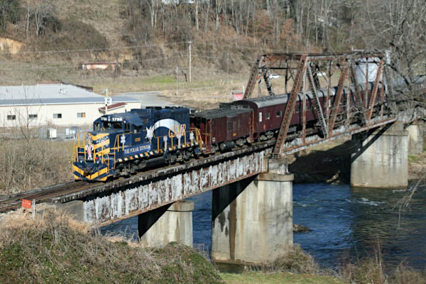
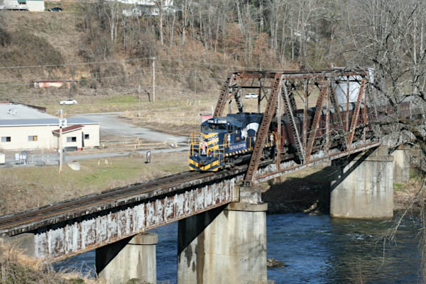
Tuckasegee River Bridge
Bryson City, NC / Dec 2020 / RWH
Bryson City, NC / Dec 2020 / RWH
Bryson City, NC / Dec 2020 / RWH
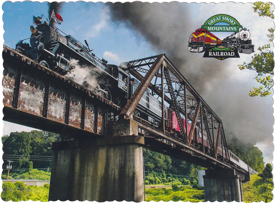
postcard / collection
Bryson City, NC / Dec 2020 / Ben Wells
Bryson City, NC / Dec 2020 / RWH
Bryson City, NC / Dec 2020 / RWH
Bryson City, NC / Dec 2020 / RWH
Bryson City, NC / Dec 2020 / RWH
Bryson City, NC / Dec 2020 / RWH
Bryson City, NC / Dec 2020 / RWH
Bryson City
Bryson City, NC / Dec 2020 / RWH
Bryson City, NC / Dec 2020 / RWH
postcard / collection
Bryson City, NC / Dec 2020 / RWH
Bryson City, NC / Dec 2020 / RWH
Bryson City, NC / Dec 2020 / RWH
Video
Dec 2020 / ETH

 Extra Board

Bryson City, NC / Dec 2020 / ETH
Bryson City, NC / Dec 2020 / ETH
Bryson City, NC / Dec 2020 / ETH
Bryson City, NC / Dec 2020 / ETH
Bryson City, NC / Dec 2020 / ETH
Bryson City, NC / Dec 2020 / ETH
Bryson City, NC / Dec 2020 / ETH
Bryson City, NC / Dec 2020 / ETH
Bryson City, NC / Dec 2020 / ETH
Bryson City, NC / Dec 2020 / ETH

Bryson City, NC / Dec 2020 / ETH