 |
Sandersville Railroad Locations |
Sandersville, Ga / May 2021 / RWH
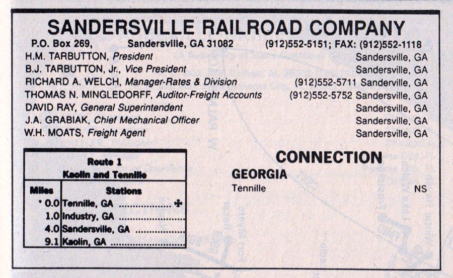
1994 Official Guide ad / collection
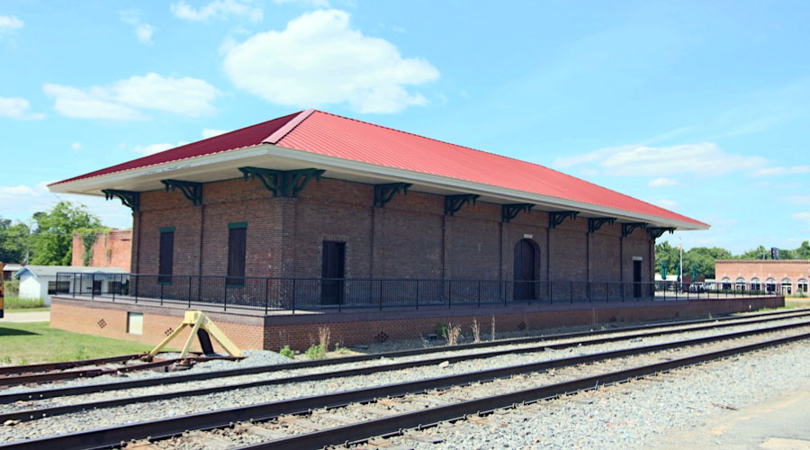
 Tennille

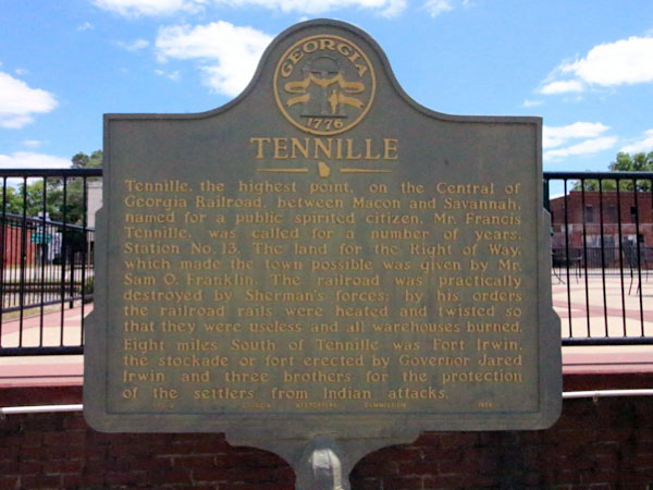
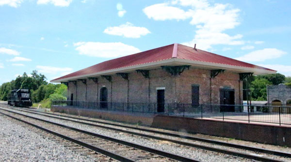
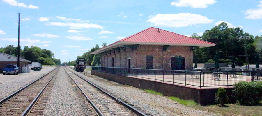
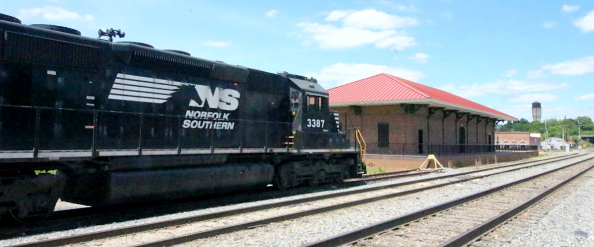
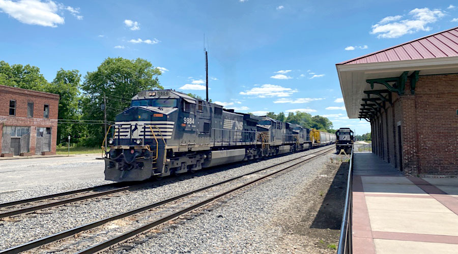
 ennille, Ga is the highest point on the Central of Georgia Railroad between Macon and Savannah. Incorporated in 1875, the city was named for a former citizen, Mr. Francis Tennille. Before that it was named for the railroad station, Station No. 13.
The land for the right of way, which made the town possible, was given by Mr. Sam O. Franklin. The railroad was practically destroyed by Sherman’s forces and by his orders, the railroad rails were heated and twisted so that they were useless. All warehouses were burned. Eight miles south of Tennille was Fort Irwin, the stockade or fort erected by Governor Jared Irwin and three brothers for the protection of the settlers from Indian attacks.
ennille, Ga is the highest point on the Central of Georgia Railroad between Macon and Savannah. Incorporated in 1875, the city was named for a former citizen, Mr. Francis Tennille. Before that it was named for the railroad station, Station No. 13.
The land for the right of way, which made the town possible, was given by Mr. Sam O. Franklin. The railroad was practically destroyed by Sherman’s forces and by his orders, the railroad rails were heated and twisted so that they were useless. All warehouses were burned. Eight miles south of Tennille was Fort Irwin, the stockade or fort erected by Governor Jared Irwin and three brothers for the protection of the settlers from Indian attacks.
City of Tennille / photo RWH
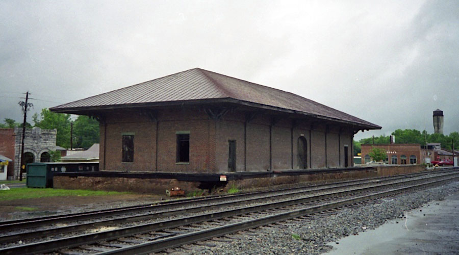
Tennille, Ga / May 2002 / JCH

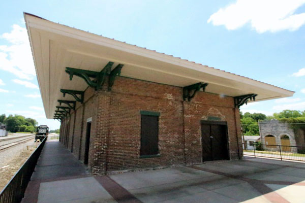
Click to see the Central of Georgia freight house plotted on a Google Maps page
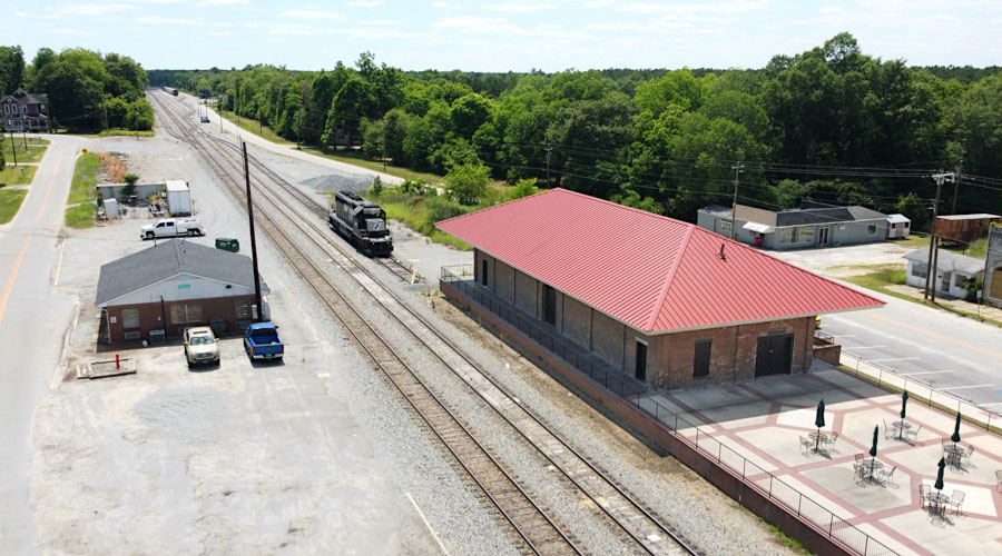
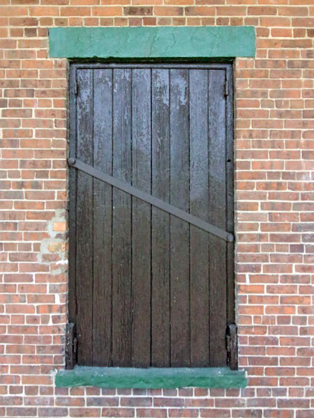
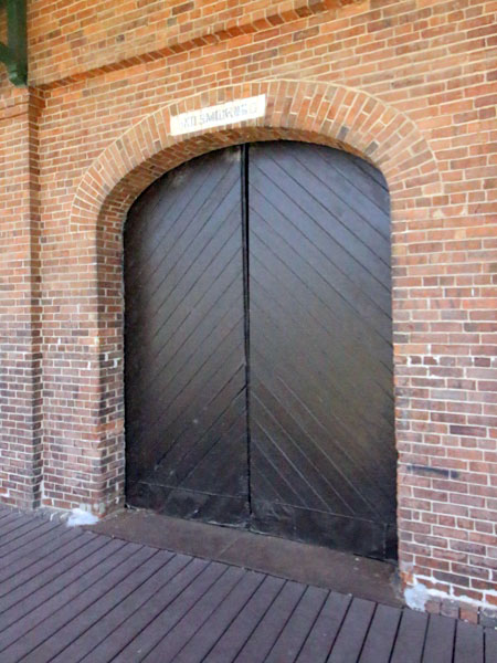
Tennille, Ga / May 2021 / RWH
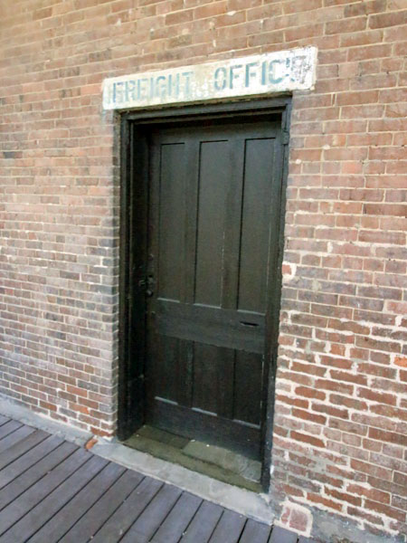
Tennille, Ga / May 2021 / RWH
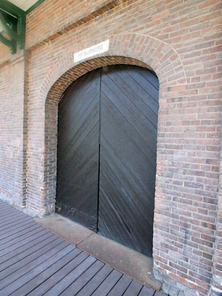
Tennille, Ga / May 2021 / RWH
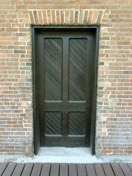
Tennille, Ga / May 2021 / RWH
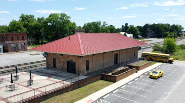
May 2021 / RWH
Tennille, Ga / May 2021 / RWH
Tennille, Ga / May 2021 / RWH
Tennille, Ga / May 2021 / RWH
Tennille, Ga / May 2021 / RWH
Tennille, Ga / May 2021 / RWH

See also our complete Central of Georgia Railway fallen flag scrapbook in Mainlines
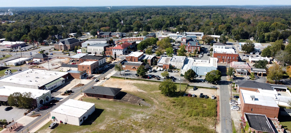
 Sandersville
Sandersville, Ga / May 2021 / RWH
 andersville was settled around 1783 by Revolutionary War veterans who were awarded grants to Creek and Cherokee lands. Once known as “White Ponds,” the town grew up around the intersection of two Creek Indian trails and included a trading post owned by Mark Saunders (for whom the town was later named, with a spelling change). Saunders was instrumental in the town's early history.
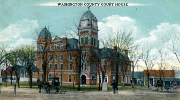 Washington County was established on February 25, 1784, as Georgia's 10th county and was named for U.S. president George Washington. The Georgia legislature named Sandersville the county seat of Washington County in 1796. Mr. Saunders donated part of his plantation to the county as a site for the first courthouse.
Iin the 1840s the Central of Georgia Railroad proposed construction of a rail station in Sandersville, which was furiously opposed by local inhabitants. The railroad was therefore forced to locate in nearby Tennille, and that town prospered as a result.
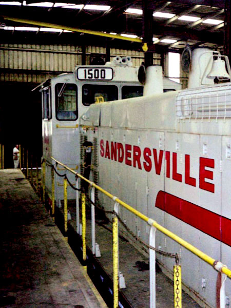
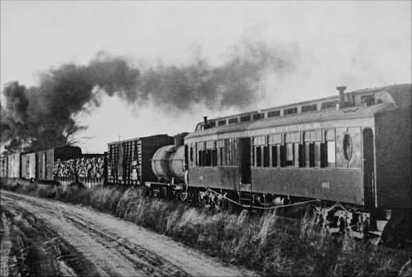 In 1893-94 Sandersville got an economic shot in the arm when the Sandersville Railroad was built to connect Sandersville to the city of Tennille and to the surrounding kaolin mines for loading fine white clay and other mining products. In the two decades between 1890 and 1910, Sandersville rapidly grew. Many brick buildings were built around the square, and stately homes were constructed on the fringes of Downtown.
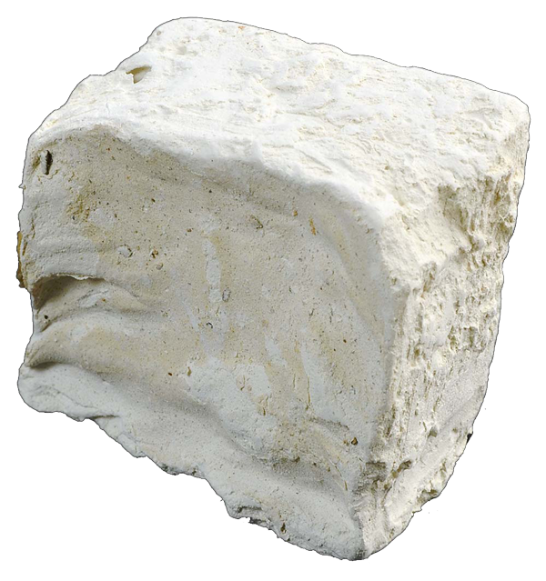 Kaolin, a white, alumina silicate clay, is used in paper, medicines, paints, and many other products, all of which are shipped around the world. As Sandersville grew into kaolin's largest refiner, it became known as the "Kaolin Capital of the World." Five processing companies and numerous mines attract college-educated personnel, scientists, and geologists from many countries. An annual Kaolin Festival celebrates the importance of the resource.
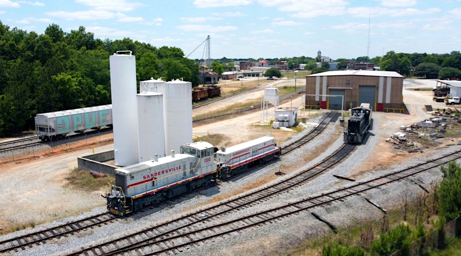
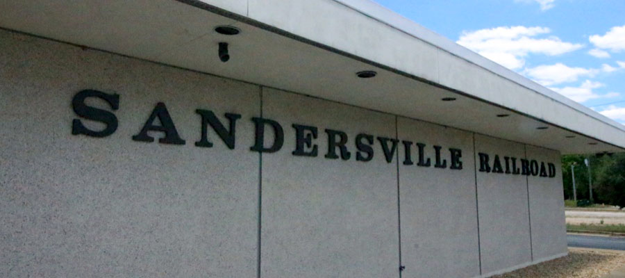
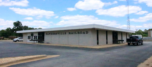
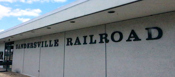
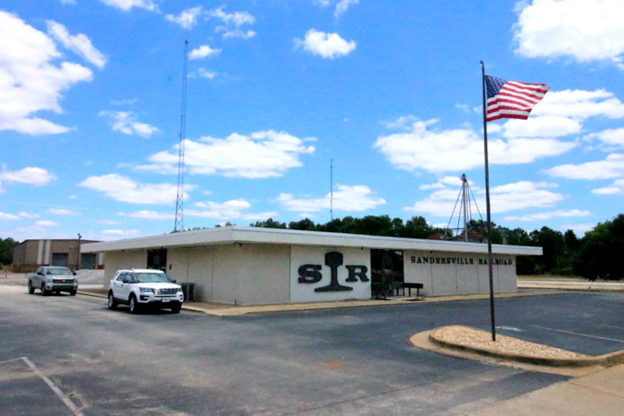
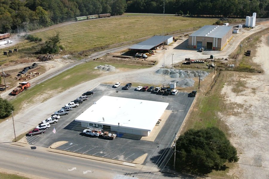
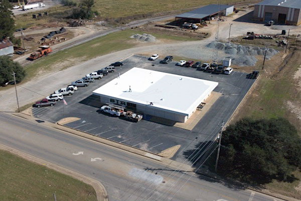
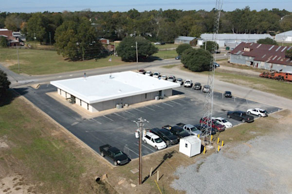
Office
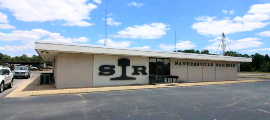
Sandersville, Ga / May 2021 / RWH
Click to see the Sandersville Railroad office area plotted on a Google Maps page

May 2021 / RWH
May 2021 / RWH
May 2021 / RWH
May 2021 / RWH
Sandersville, Ga / May 2021 / RWH
Sandersville, Ga / May 2021 / RWH
Sandersville, Ga / May 2021 / RWH
Sandersville, Ga / May 2021 / RWH
Sandersville, Ga / May 2021 / RWH
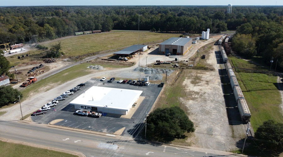
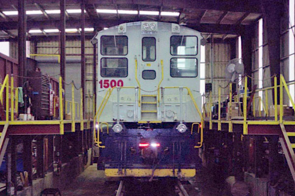
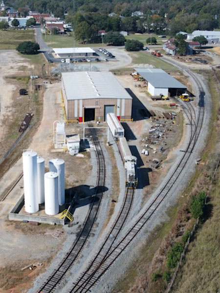
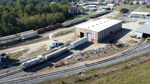
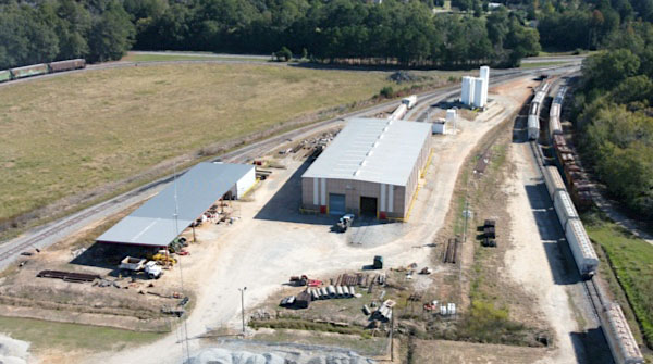
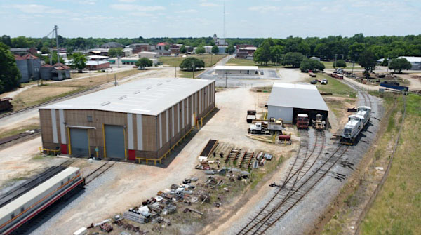
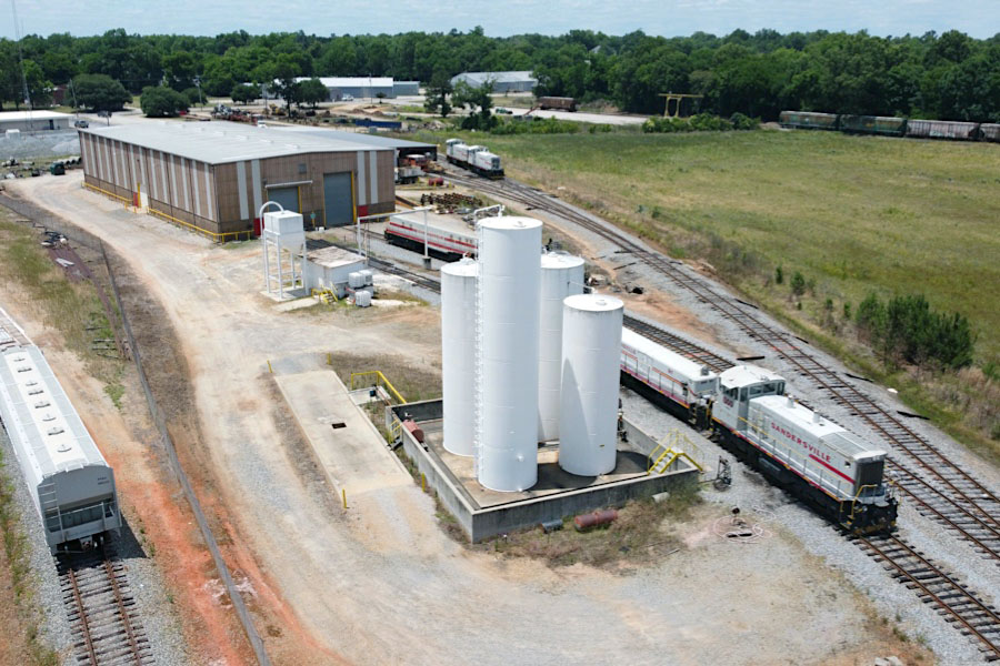
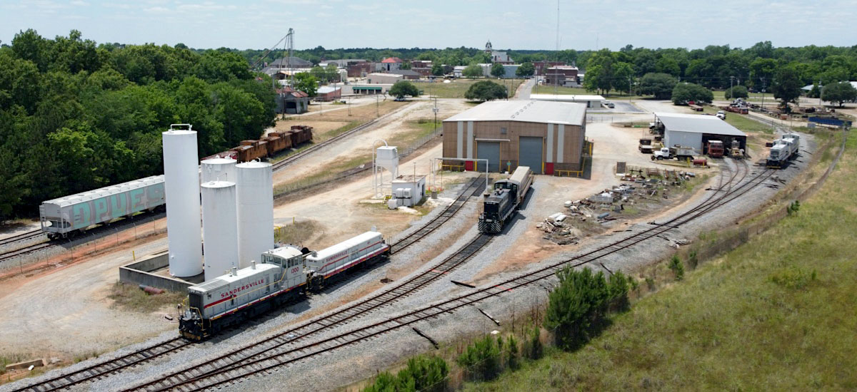
Shops
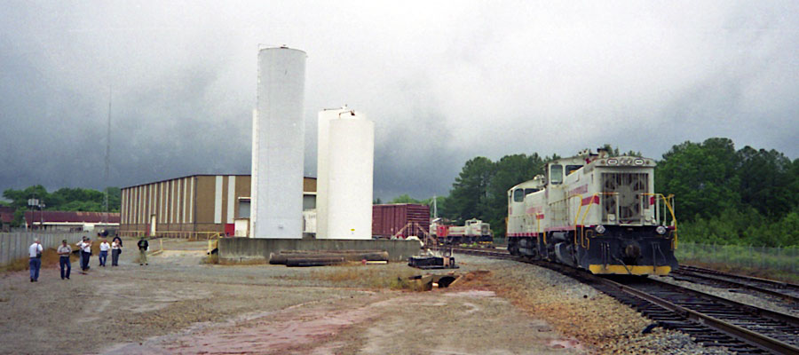
Sandersville, Ga / May 2002 / JCH
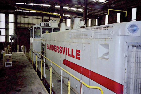
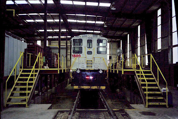
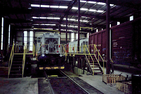
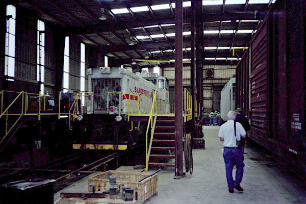
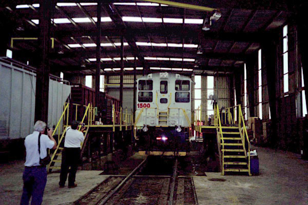
May 2002 / JCH
Click to see the Sandersville Railroad shops plotted on a Google Maps page
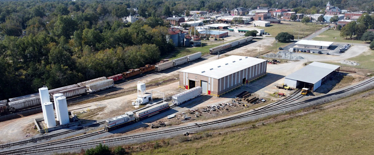
Sandersville, Ga / May 2021 / RWH
May 2021 / RWH
Sandersville, Ga / May 2021 / RWH
Sandersville, Ga / May 2021 / RWH
Sandersville, Ga / May 2021 / RWH
Sandersville, Ga / May 2021 / RWH
Sandersville, Ga / May 2021 / RWH
Sandersville, Ga / May 2021 / RWH
Sandersville, Ga / May 2021 / RWH
Sandersville, Ga / May 2021 / RWH
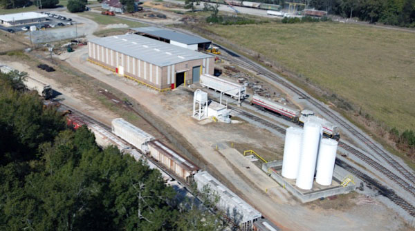
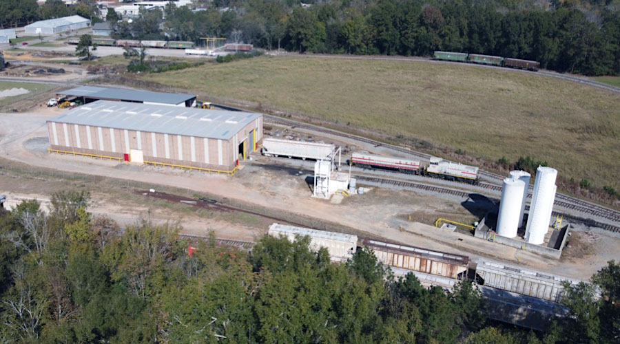
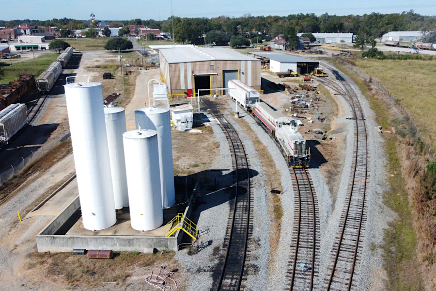
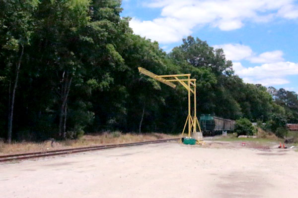
Transload Pad
Sandersville, Ga / May 2021 / RWH

Sandersville, Ga / May 2021 / RWH
Sandersville, Ga / May 2021 / RWH
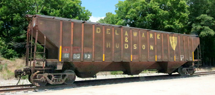
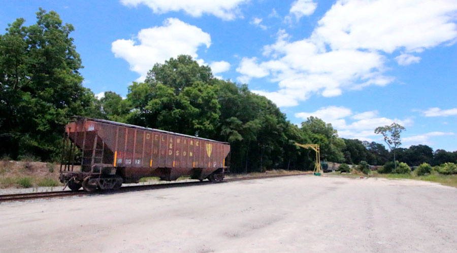
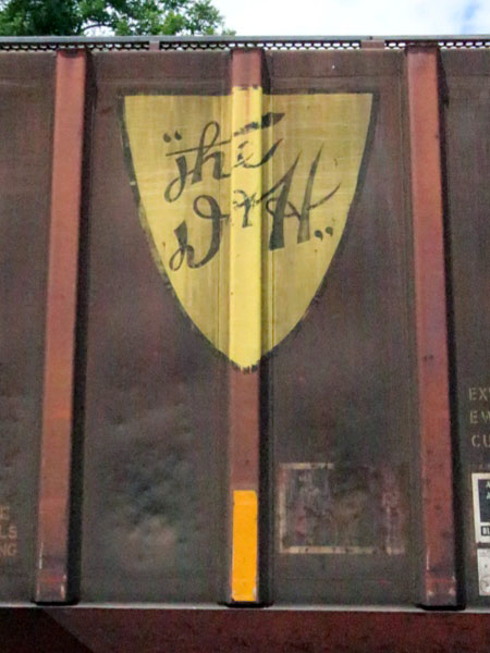
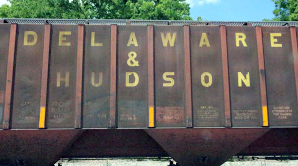
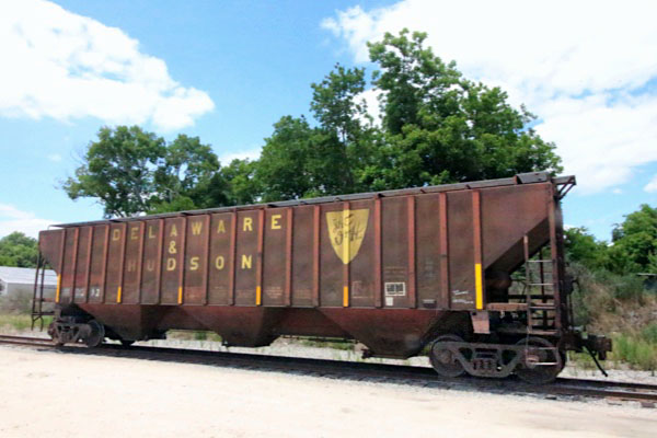
Delaware & Hudson #12312
Sandersville, Ga / May 2021 / RWH

May 2021 / RWH
Sandersville, Ga / May 2021 / RWH
May 2021 / RWH