 |
Chattahoochee Valley Shortline Structures |
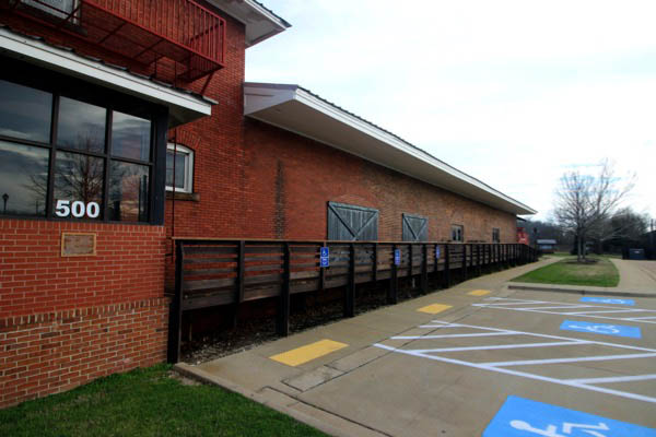
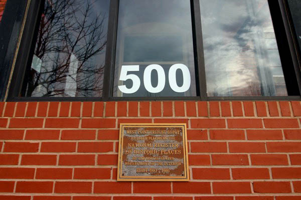
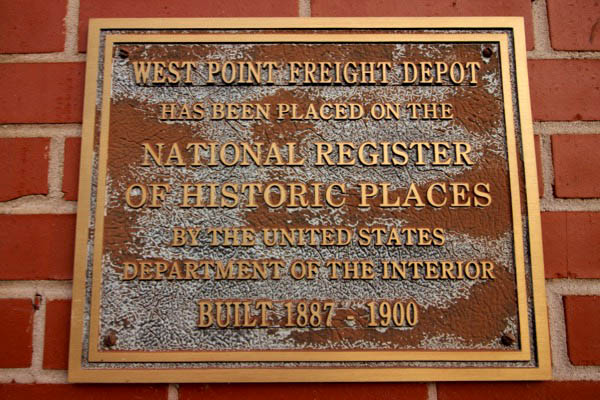
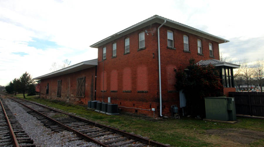
 West Point
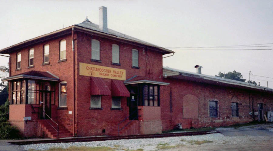
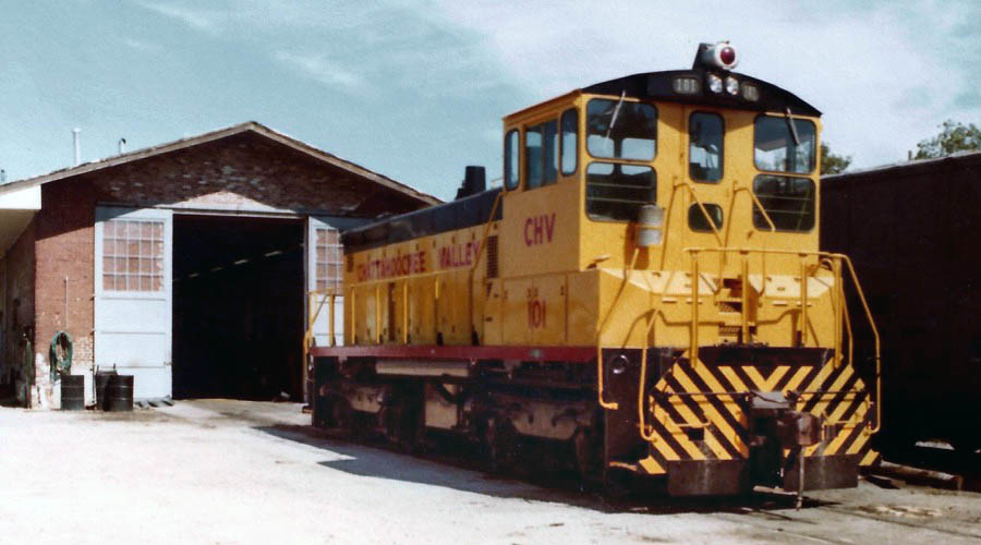
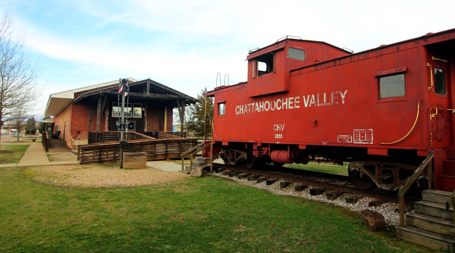
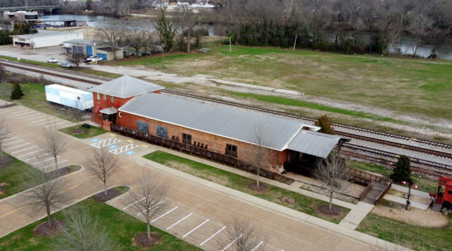
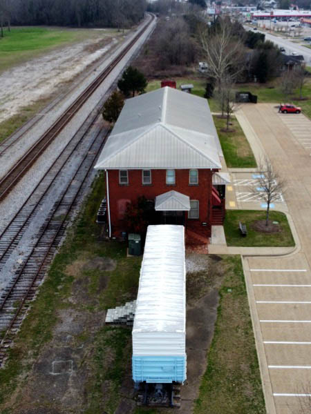
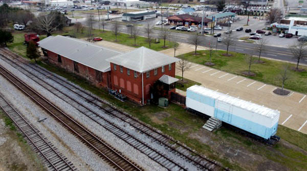
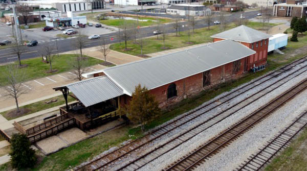
Chattahoochee Valley offices
West Point, Ga / 1980s / Hank Stephens collection
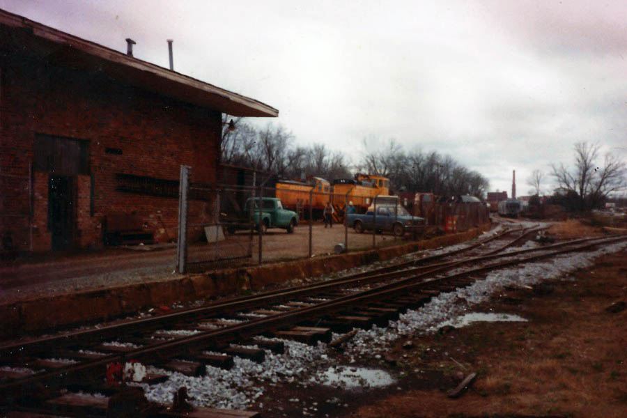
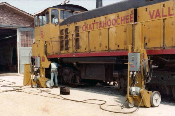
West Point, Ga / 1990s / Hank Stephens collection
West Point, Ga / 1990s / Hank Stephens collection
West Point, Ga / 1980s / Hank Stephens collection
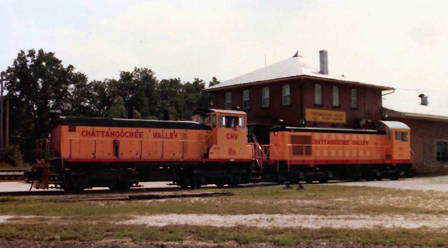
West Point, Ga / Hank Stephens collection
Click to see the former Chattahoochee Valley building plotted on a Google Maps page
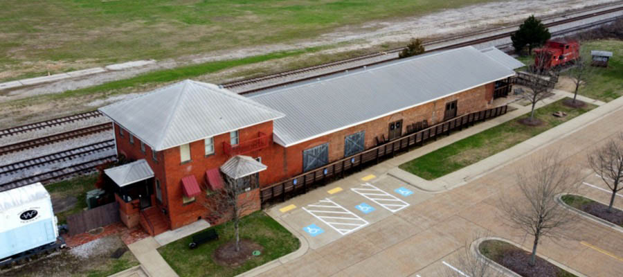
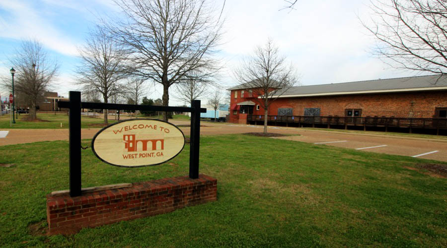
West Point, Ga / Feb 2021 / RWH
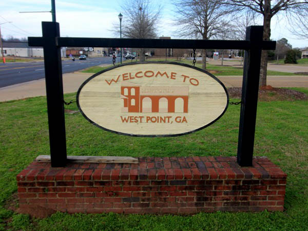
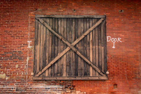
West Point, Ga / Feb 2021 / RWH
Feb 2021 / RWH
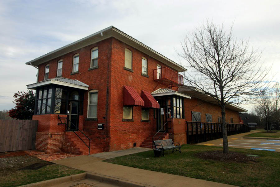
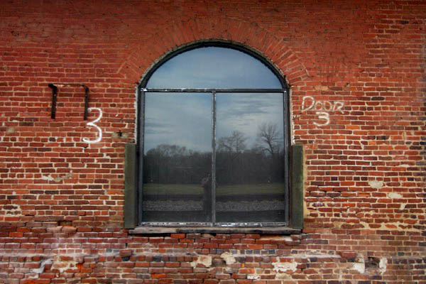
West Point, Ga / Feb 2021 / RWH
Feb 2021 / RWH
Feb 2021 / RWH
Feb 2021 / RWH
Feb 2021 / RWH
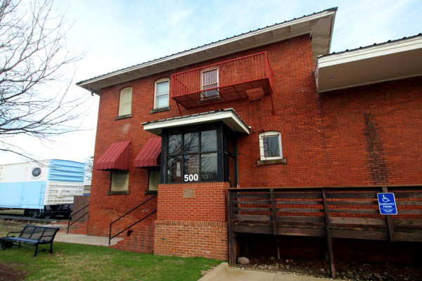
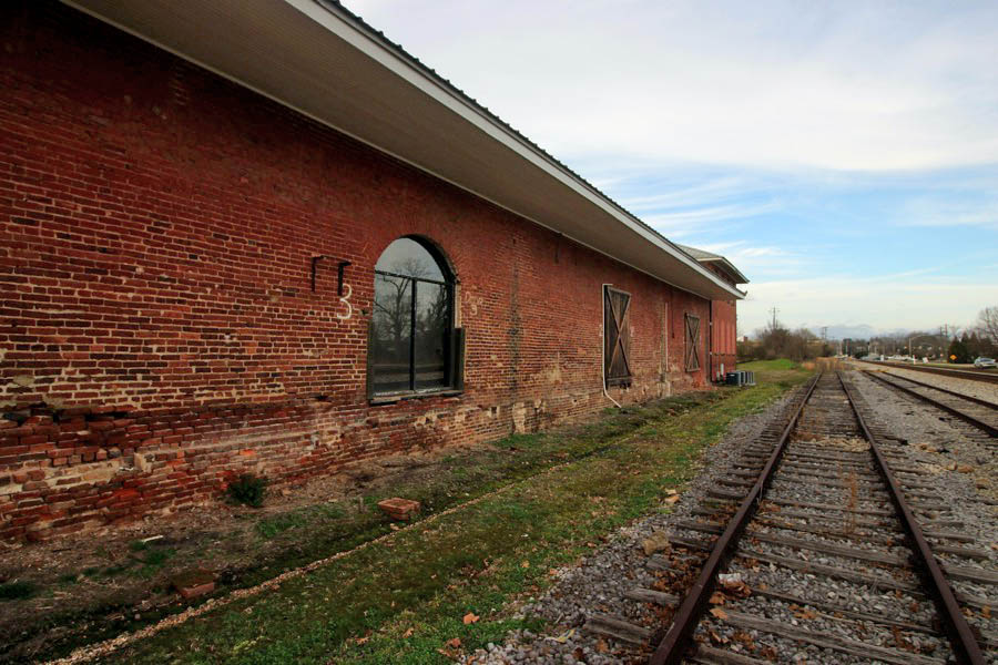
West Point, Ga / Feb 2021 / RWH
West Point, Ga / Feb 2021 / RWH
West Point, Ga / Feb 2021 / RWH
West Point, Ga / Feb 2021 / RWH
West Point, Ga / Feb 2021 / RWH
West Point, Ga / Feb 2021 / RWH

West Point, Ga / Feb 2021 / RWH
West Point, Ga / Feb 2021 / RWH
West Point, Ga / Feb 2021 / RWH
Feb 2021 / RWH
West Point, Ga / Feb 2021 / RWH
West Point, Ga / Feb 2021 / RWH
West Point, Ga / Feb 2021 / RWH
West Point, Ga / Feb 2021 / RWH
West Point, Ga / Feb 2021 / RWH
Fairfax
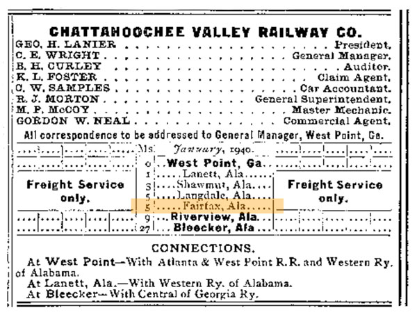
1940 Official Guide ad / collection
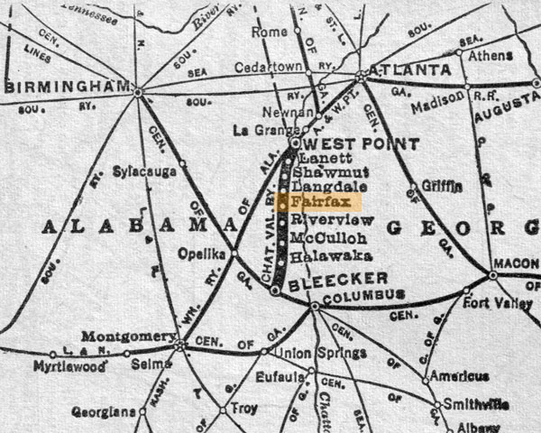
1965 Official Guide map / collection
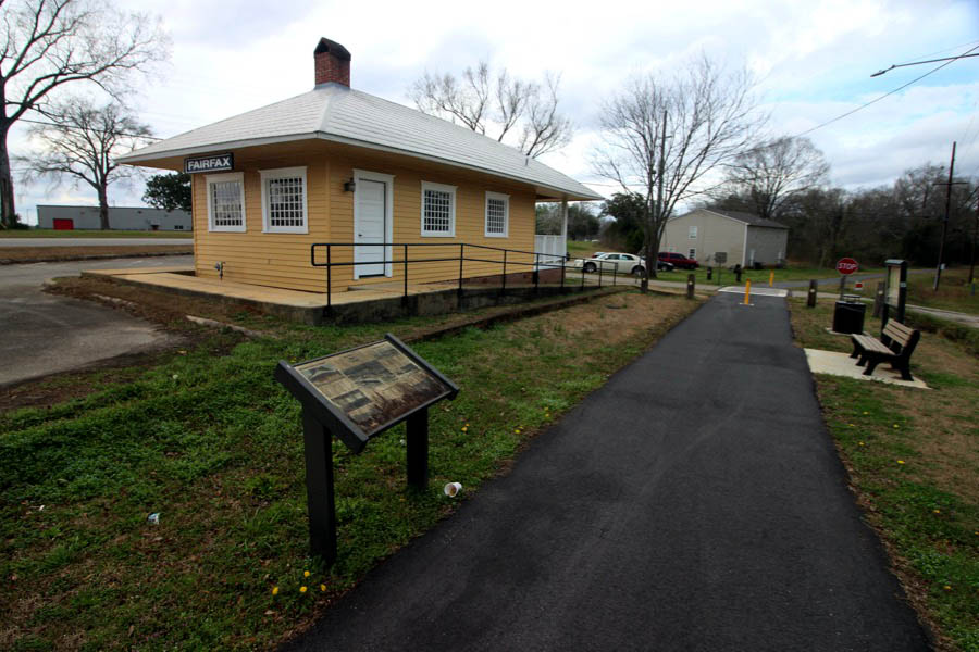
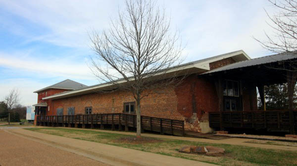
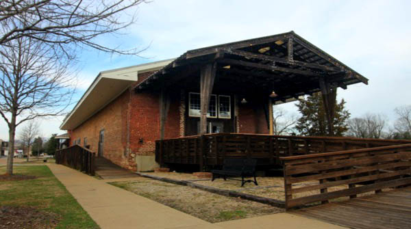
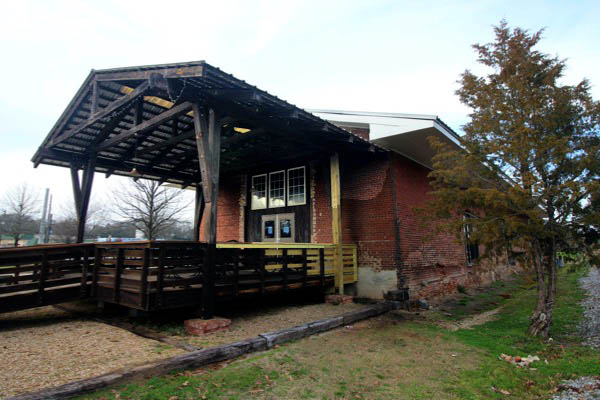
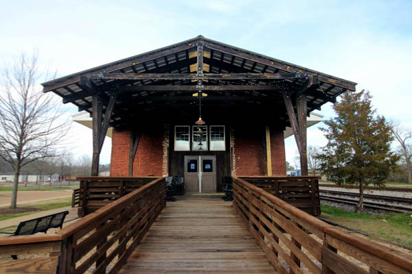
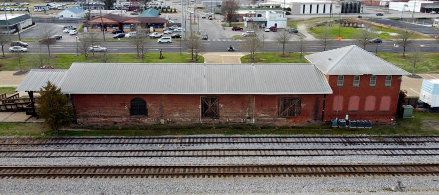
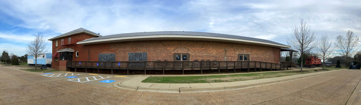
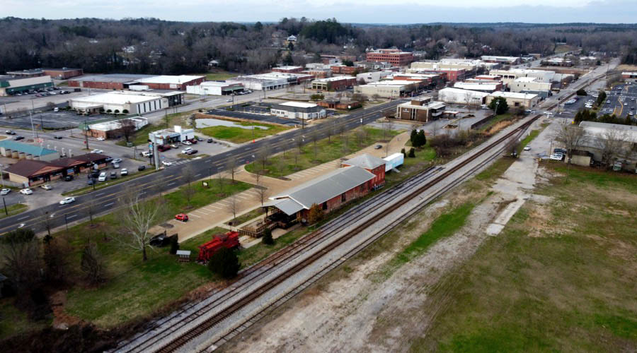
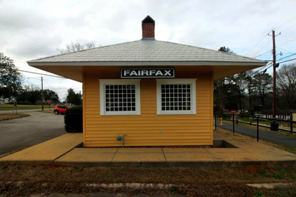
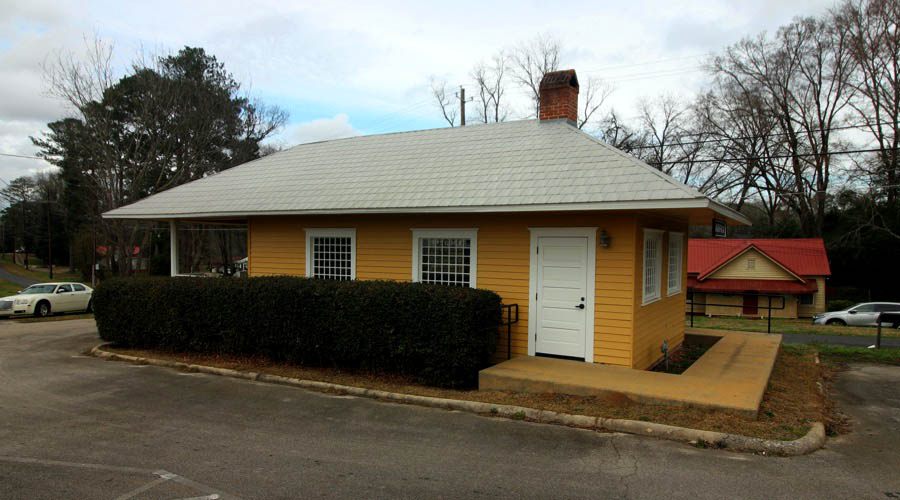
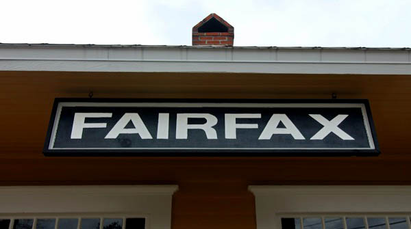
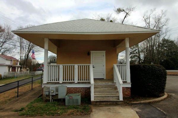
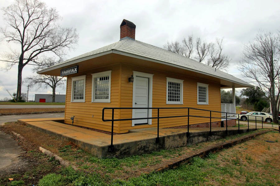
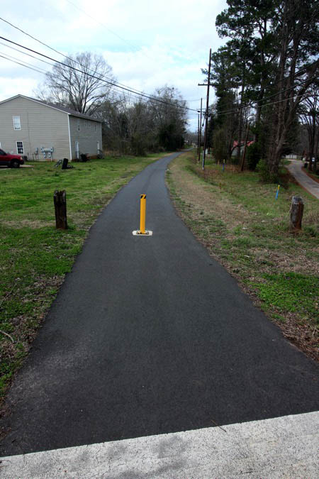
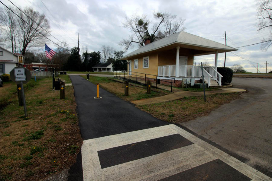
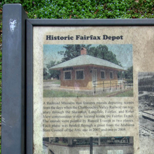
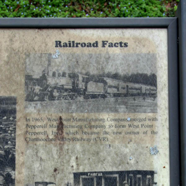
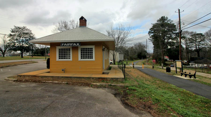
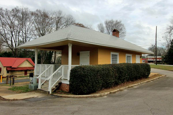
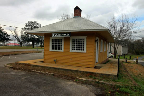
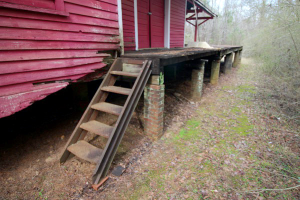
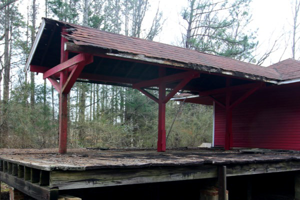
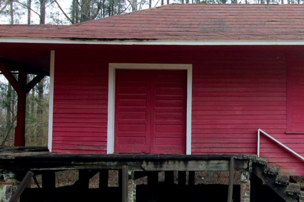
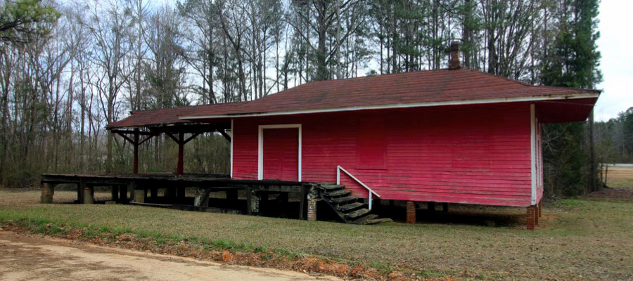
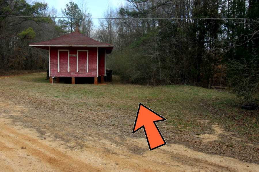
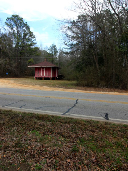
Fairfax depot
Fairfax, Al / Feb 2021 / RWH
Click to see the Fairfax depot plotted on a Google Maps page
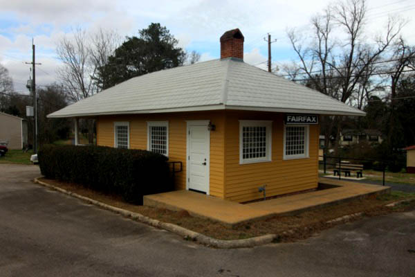
Fairfax, Al / Feb 2021 / RWH
Fairfax, Al / Feb 2021 / RWH
Fairfax, Al / Feb 2021 / RWH
Feb 2021 / RWH
Fairfax, Al / Feb 2021 / RWH
Fairfax, Al / Feb 2021 / RWH
Feb 2021 / RWH
Fairfax, Al / Feb 2021 / RWH
Feb 2021 / RWH
Feb 2021 / RWH
Fairfax, Al / Feb 2021 / RWH
Fairfax, Al / Feb 2021 / RWH
Fairfax, Al / Feb 2021 / RWH

See also our complete Chattahoochee Valley Railroad Trail scrapbook in Preservation
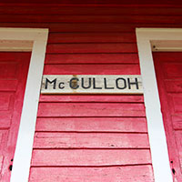
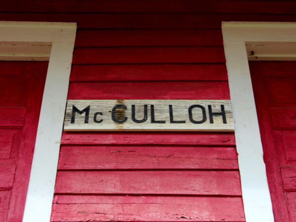
McCulloh
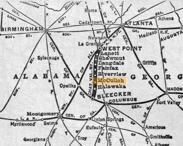
1965 Official Guide map / collection
Feb 2021 / RWH
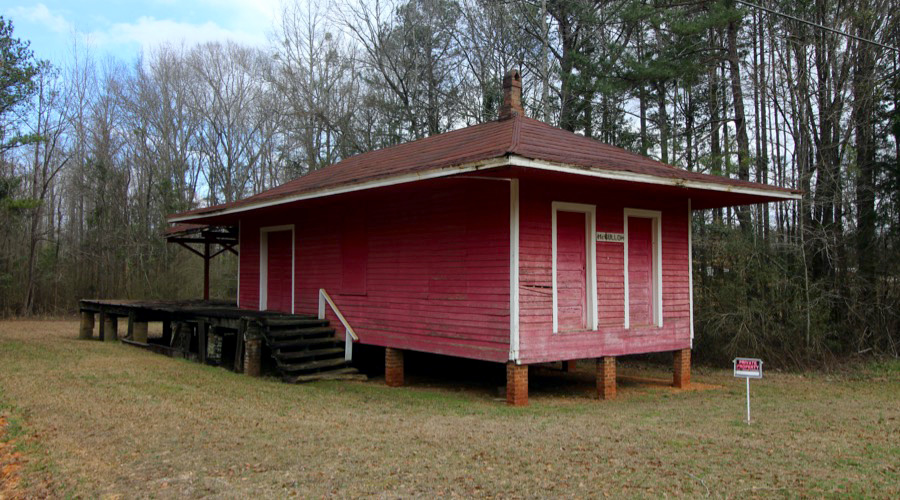
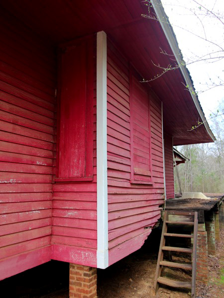
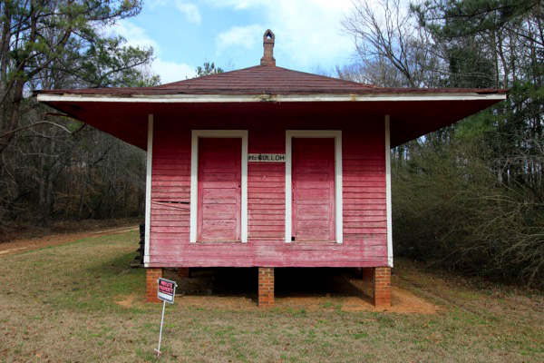
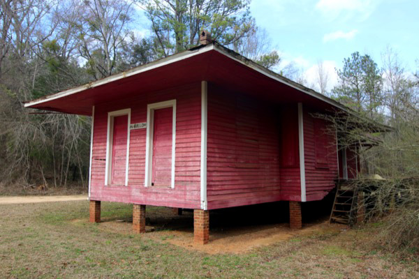
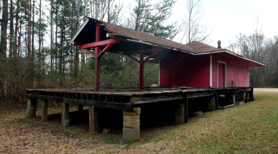
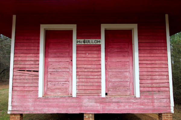
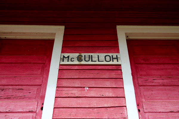
McCulloh depot
McCulloh, Al / Feb 2021 / RWH
Click to see the McCulloh depot plotted on a Google Maps page
Feb 2021 / RWH
McCulloh, Al / Feb 2021 / RWH
McCulloh, Al / Feb 2021 / RWH
McCulloh, Al / Feb 2021 / RWH

Feb 2021 / RWH
McCulloh, Al / Feb 2021 / RWH
McCulloh, Al / Feb 2021 / RWH
Feb 2021 / RWH
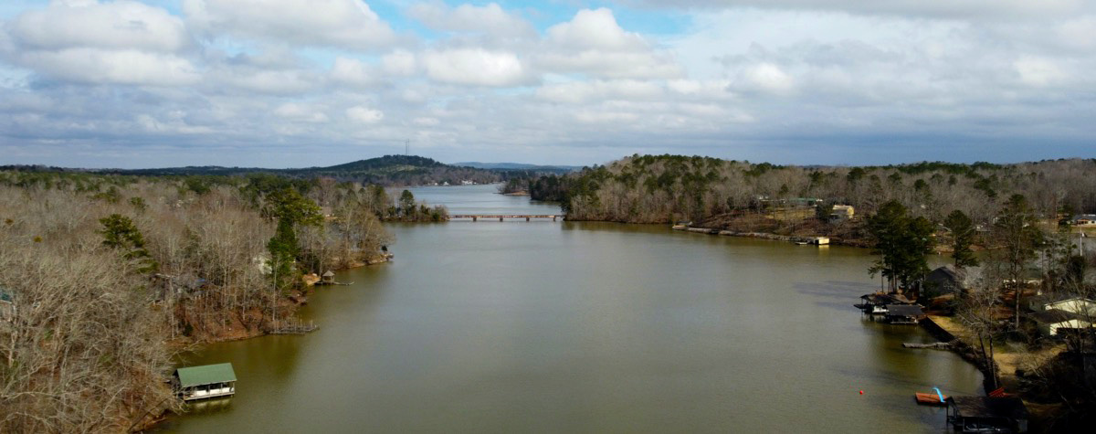
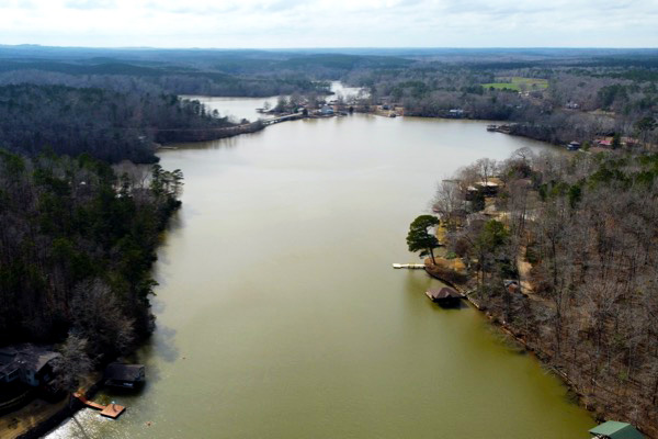
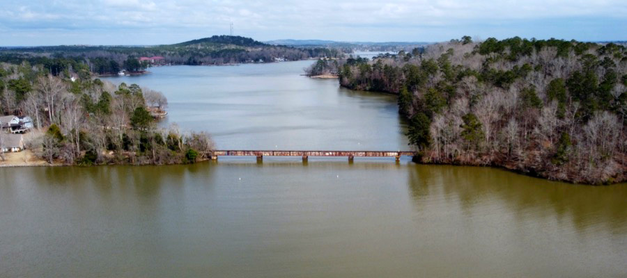
Lake Harding
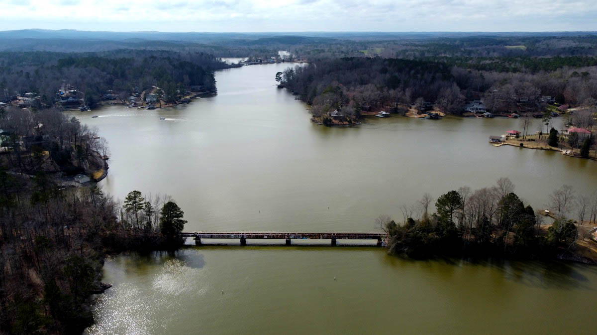
Tillery Crossroad, Al / Feb 2021 / RWH
Click to see the former Chattahoochee Valley railroad bridge plotted on a Google Maps page
 Lake Harding, also known as Bartlett's Ferry Lake, is a 5,850-acre reservoir on the Chattahoochee River.
The lake is formed by Bartlett's Ferry Dam, and the lake is located in Harris County, Georgia with some portions of the lake going into Alabama. Lake Harding is a deep lake with a depth of over 100 feet (30 m) at the dam itself.
The lake was originally built by the Columbus Power Company in 1926 to generate hydroelectric power. The lake was named after R.M. Harding, a power company official. The dam and lake were bought by Georgia Power in 1930. Lake Harding has become a popular recreational area with local residents, many of whom have built lake homes along the well-developed shoreline. A major tributary of the lake is Halawakee Creek.
Lake Harding, also known as Bartlett's Ferry Lake, is a 5,850-acre reservoir on the Chattahoochee River.
The lake is formed by Bartlett's Ferry Dam, and the lake is located in Harris County, Georgia with some portions of the lake going into Alabama. Lake Harding is a deep lake with a depth of over 100 feet (30 m) at the dam itself.
The lake was originally built by the Columbus Power Company in 1926 to generate hydroelectric power. The lake was named after R.M. Harding, a power company official. The dam and lake were bought by Georgia Power in 1930. Lake Harding has become a popular recreational area with local residents, many of whom have built lake homes along the well-developed shoreline. A major tributary of the lake is Halawakee Creek.
photo Feb 2021 / RWH
Tillery Crossroad, Al / Feb 2021 / RWH
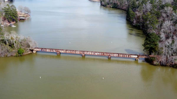
Tillery Crossroad, Al / Feb 2021 / RWH
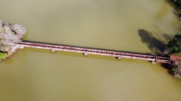
Tillery Crossroad, Al / Feb 2021 / RWH
Tillery Crossroad, Al / Feb 2021 / RWH
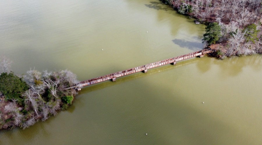
Tillery Crossroad, Al / Feb 2021 / RWH
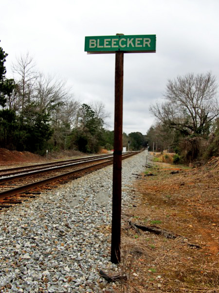
Bleecker

1965 Official Guide map / collection

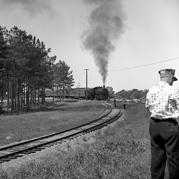
Bleecker, Al / Apr 1961 / JCH
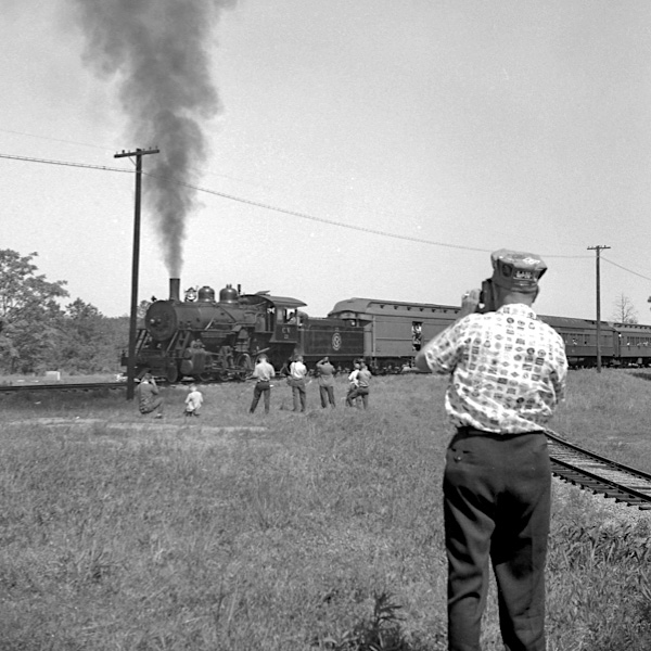
Bleecker, Al / Apr 1961 / JCH
Feb 2021 / RWH

Feb 2021 / RWH
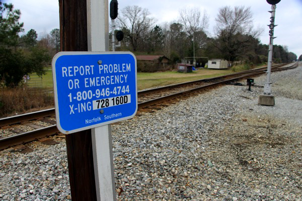
Bleecker, Al / Feb 2021 / RWH

Bleecker, Al / Feb 2021 / RWH
Click to see the former Bleecker interchange area plotted on a Google Maps page
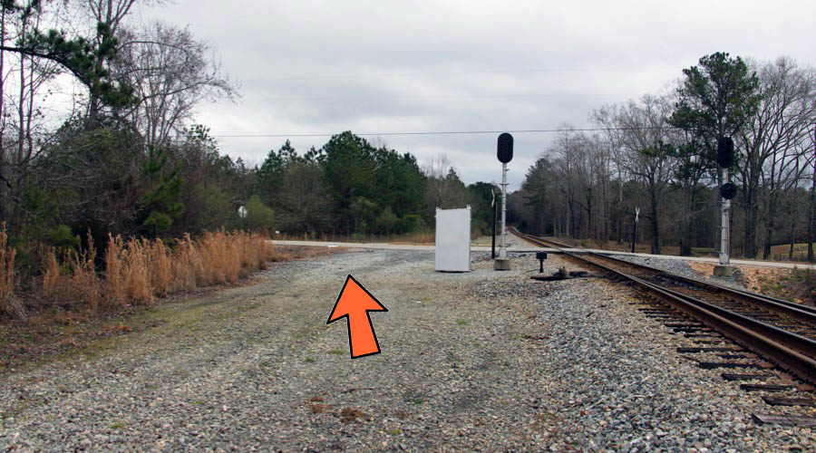
Bleecker, Al / Feb 2021 / RWH
Feb 2021 / RWH
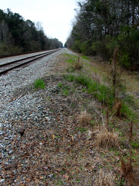
Bleecker, Al / Feb 2021 / RWH
Bleecker, Al / Feb 2021 / RWH
Feb 2021 / RWH
Bleecker, Al / Feb 2021 / RWH
Bleecker, Al / Feb 2021 / RWH
Feb 2021 / RWH
Click to see the Route 179 crossing plotted on a Google Maps page