 |
|
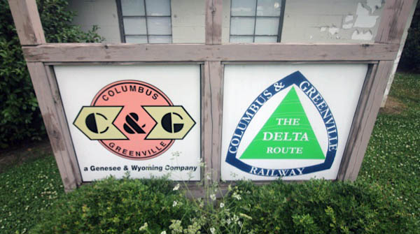
Columbus & Greenville Railway Greenwood, Mississippi |
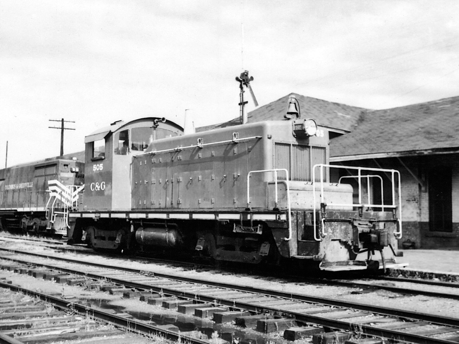
Greenwood, Ms / 1973 / collection
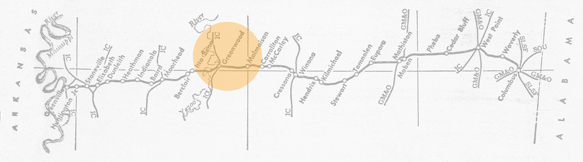
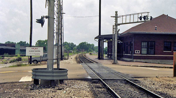
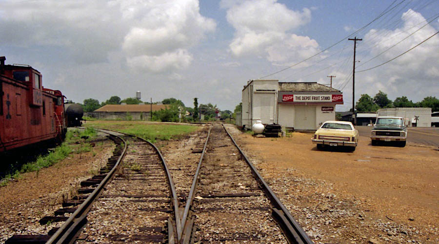
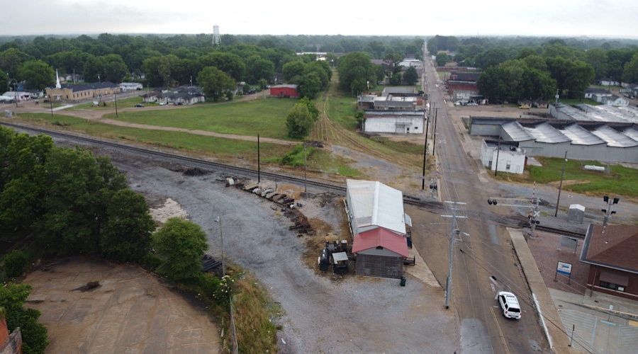
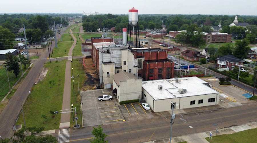
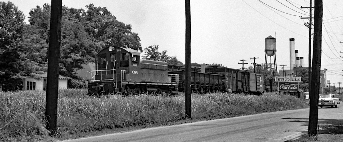
 ituated at the eastern edge of the Mississippi Delta, at the start of the Yazoo River, Greenwood, Mississippi, was the Columbus & Greenville's third-largest municipality and for decades the location of the shortlines second interchange with the Illinois Central. Here the Delta Route crossed the western (through Yazoo City and Marks) of the two Jackson-to-Memphis IC mainlines. In C&G's passenger era, both railroads maintained respective passenger depots in town, and both structures survive today. The Illinois Central depot remains active as a flag stop for Amtrak's daily City of New Orleans.
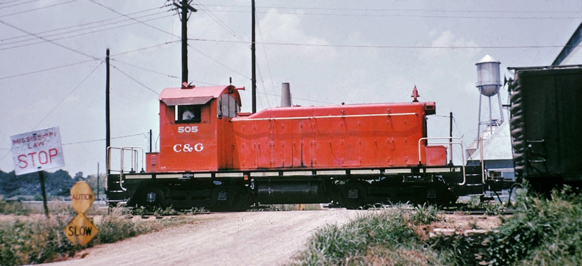
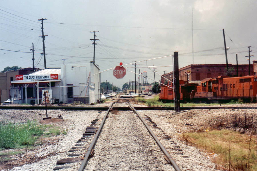
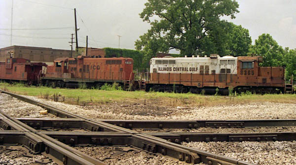
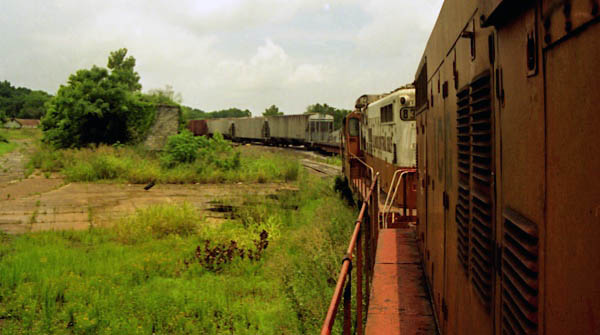
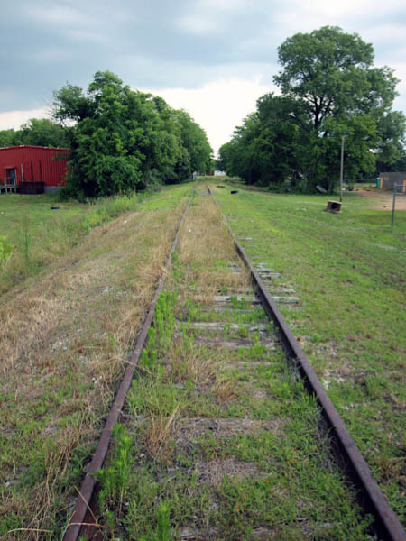
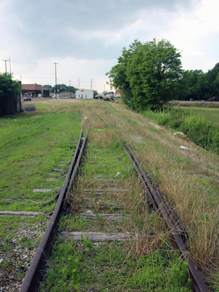
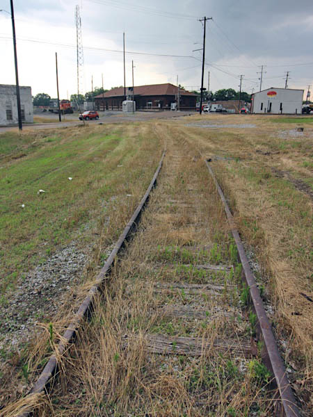
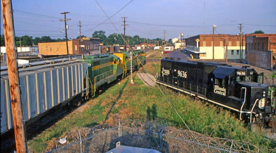
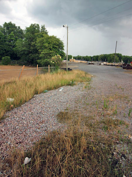
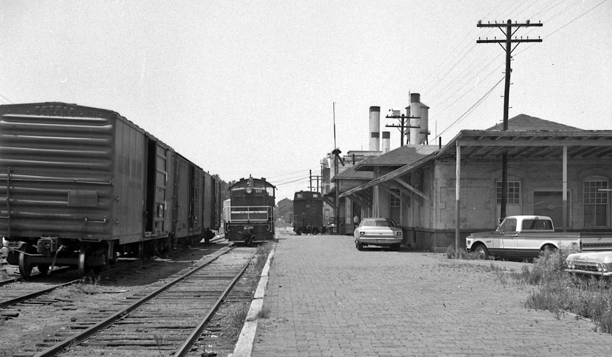
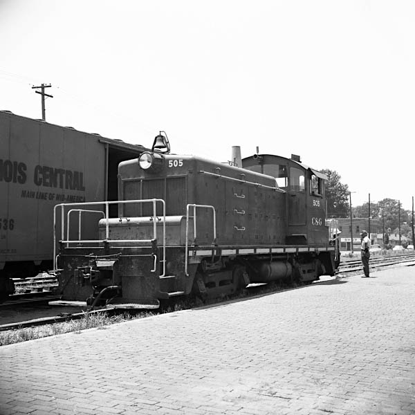
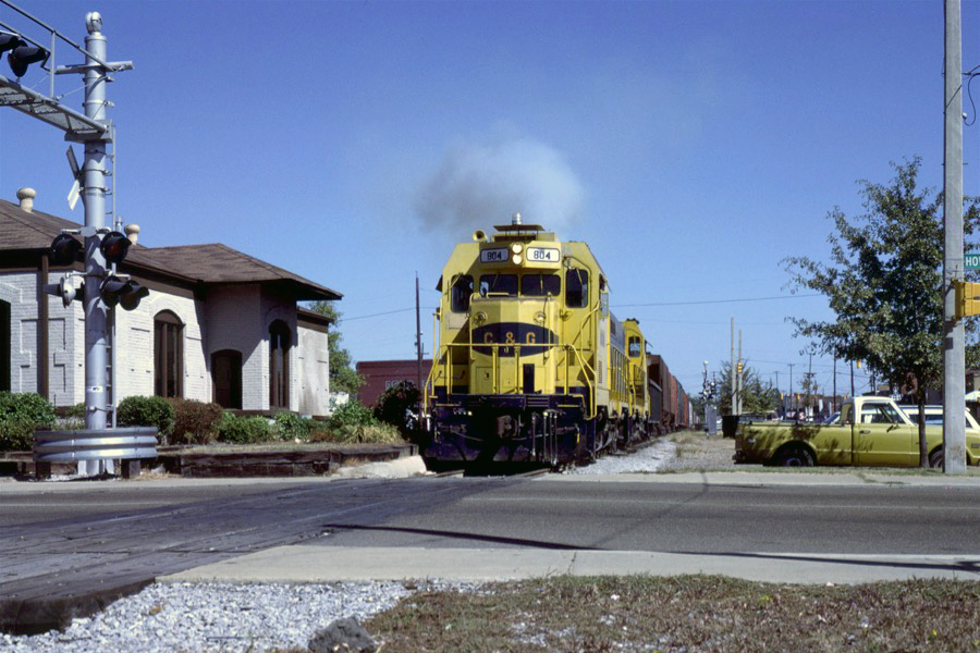
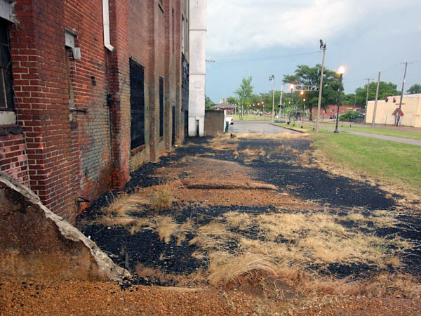
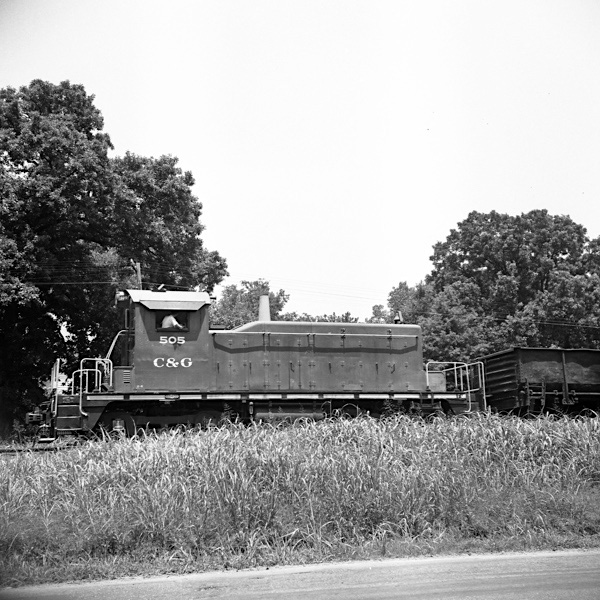
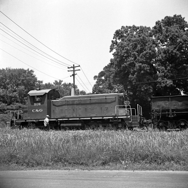
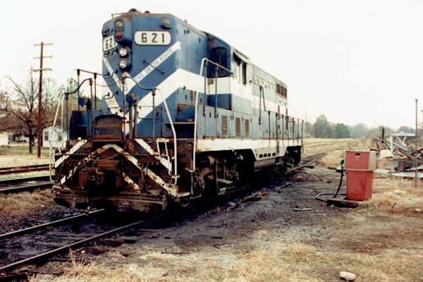
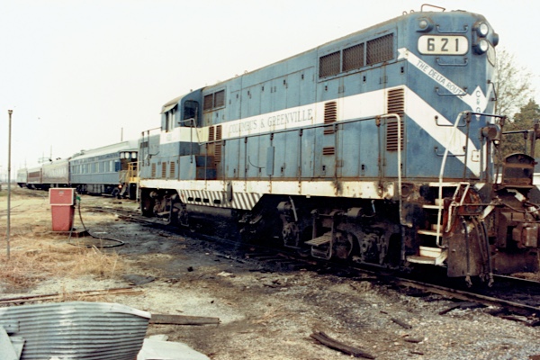
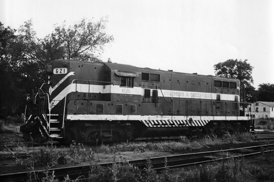
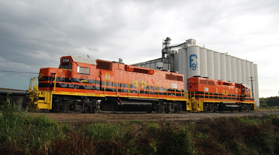
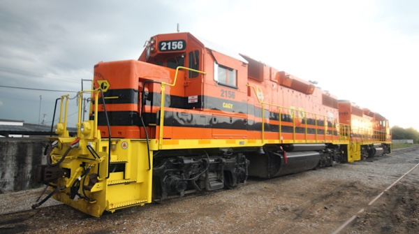
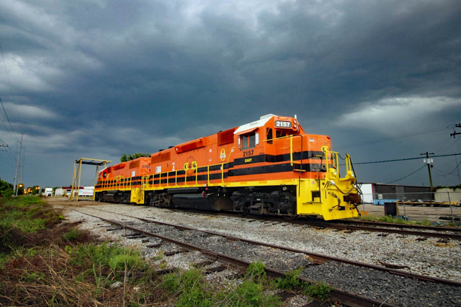
Before the ICG takeover, the C&G usually maintained a switcher in Greenwood to work the local industries with traffic from the daily through trains. Interchange with the Illinois Central was maintained downtown at the diamond. Since 2001, Greenwood has been the eastern terminus of the remaining C&G operations on the Delta (western) end of the line, making it the sole interchange point, now with the Canadian National. Freight is interchanged south of town at a new spur and yard facility built to move rail traffic out of downtown, where the original C&G mainline has been removed and rails-to-trails park now resides. The line east of Greenwood to West Point has been out of service since 2001 due to decreased freight traffic and deteriorating track and bridge conditions.
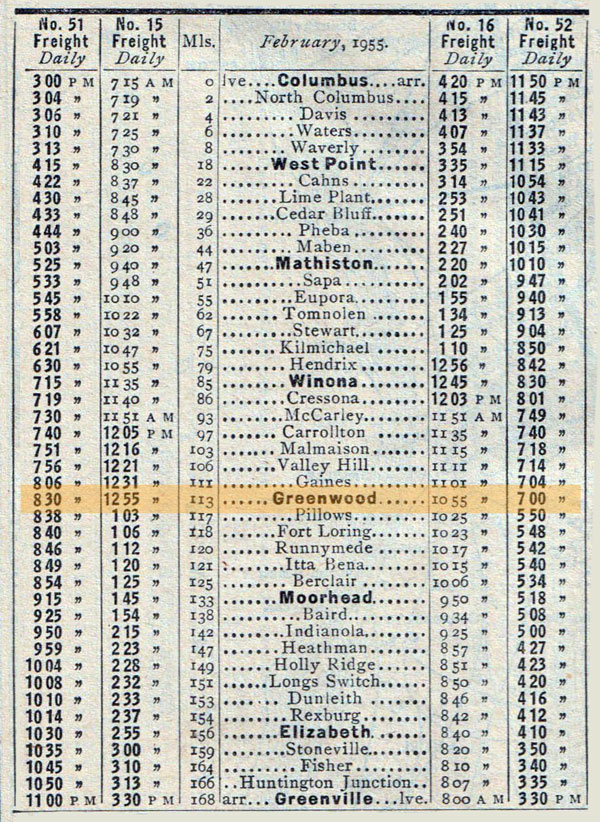
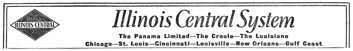
1955 Official Guide ad / collection
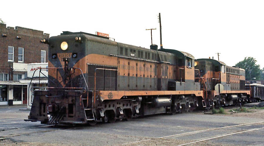
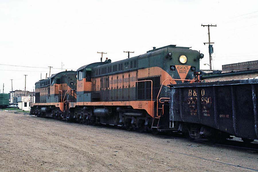
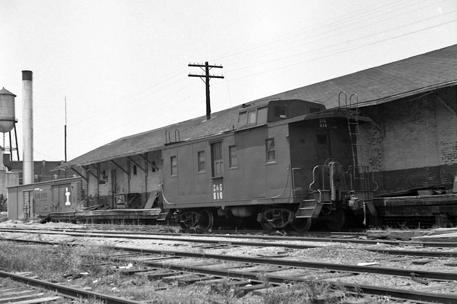
Greenwood, Ms / Jul 1989 / RWH
from TRAINS
magazine - Sep 1958 / collection

 The first settlement on the banks of the Yazoo River was a trading post founded by John Williams in 1830, and known as Williams Landing. The settlement quickly blossomed, and in 1844, was incorporated as Greenwood, named after Chief Greenwood Leflore. Growing into a strong cotton market, the key to the city's success was based on its strategic location in the heart of the Delta. The city prospered as a shipping point to New Orleans, Memphis, and St. Louis, Missouri until the latter part of the Civil War.
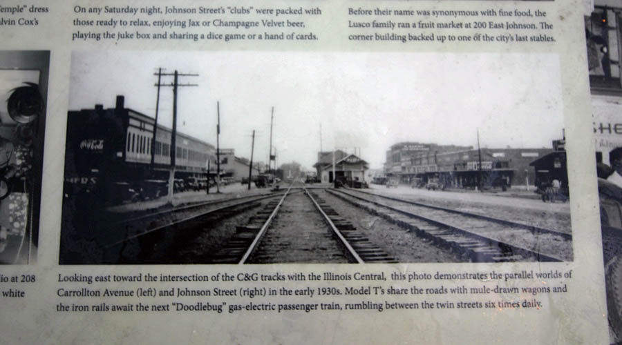
The arrival of railroads in the 1880s, saved the city - with two lines running to downtown Greenwood, close to the Yazoo River. Once again, Greenwood emerged as a prime shipping point for cotton. Downtown's Front Street bordering the Yazoo bustled with cotton factors and other related businesses, earning that section the name Cotton Row. The city continued to prosper in this way well into the 1940s.
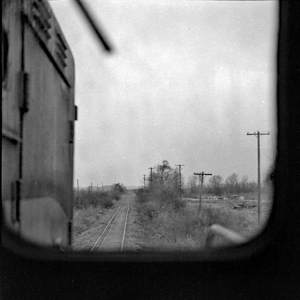
west of Greenwood, Ms / Sep 1972 / collection
east of Greenwood, Ms / Oct 1987 / Gerhard Anderson
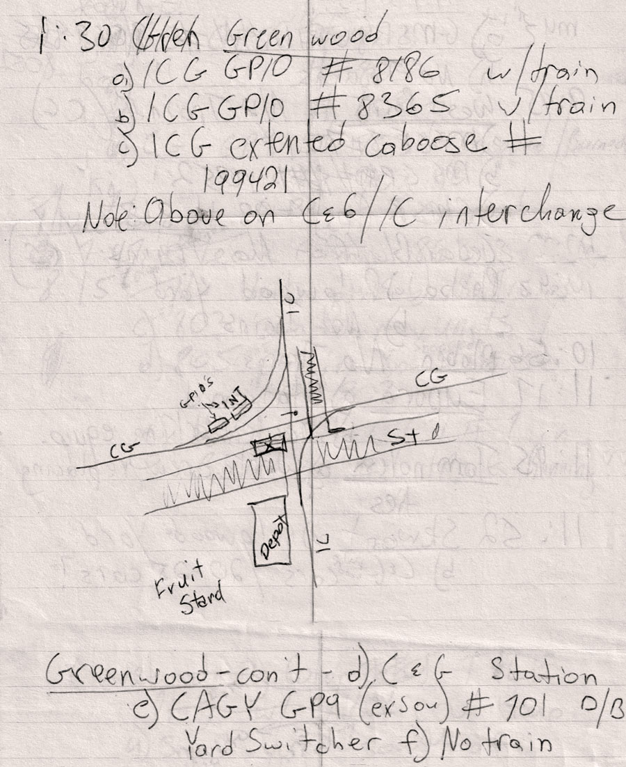
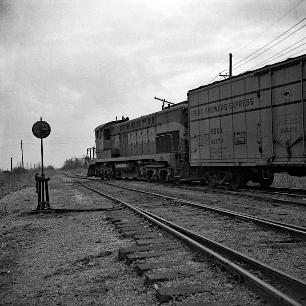
 Diamond
1930 Official Guide ad / collection
IC depot / May 1972 / Richard Wallin 
Greenwood, Ms / Jul 1989 / RWH

Click to see the former IC diamond interchange area plotted on a Google Maps page
Jul 1989
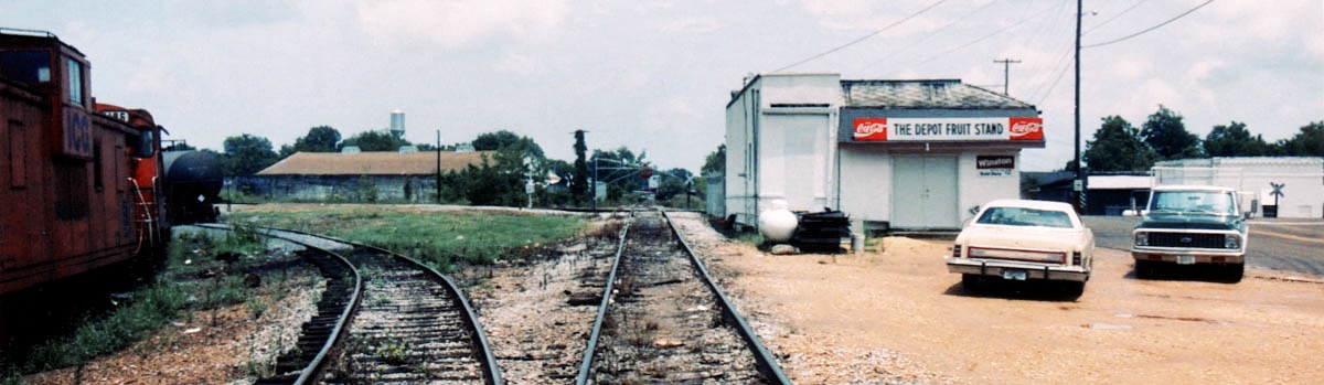
westward view C&G / Greenwood, Ms / Jul 1989 / RWH
Greenwood, Ms / Jul 1989 / RWH
Greenwood, Ms / Jul 1989 / RWH
eastward view C&G / Greenwood, Ms / Jul 1989 / JCH
Greenwood, Ms / Jun 2020 / RWH
southward view CN / Greenwood, Ms / Jun 2020 / RWH
northward view CN / Greenwood, Ms / Jun 2020 / RWH
eastward view C&G / Greenwood, Ms / Jun 2020 / RWH
eastward view C&G / Jun 2020 / RWH
westward view C&G / Jun 2020 / RWH
Jun 2020 / RWH
Jun 2020 / RWH
Greenwood, Ms / Jun 2020 / RWH
westward view C&G / Greenwood, Ms / Jun 2020 / RWH
Greenwood, Ms / May 1995 / Robert Hammons
eastward view C&G / Greenwood, Ms / Jun 2020 / RWH
former interchange / Jun 2020 / RWH
Downtown
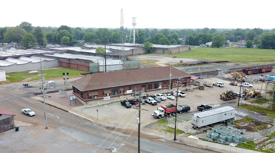
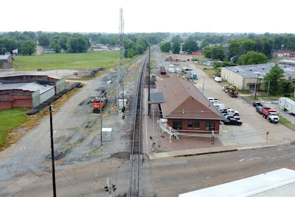
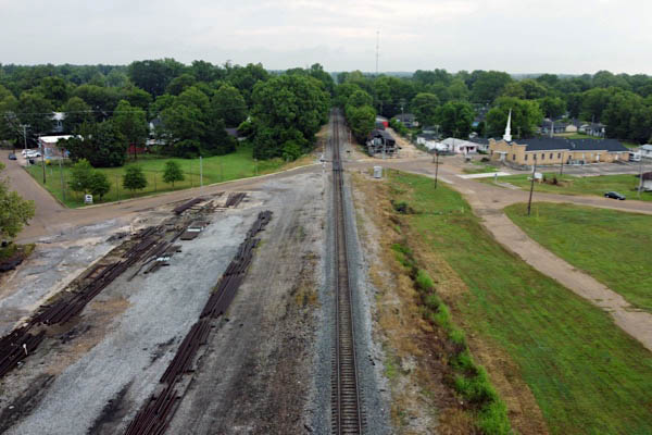
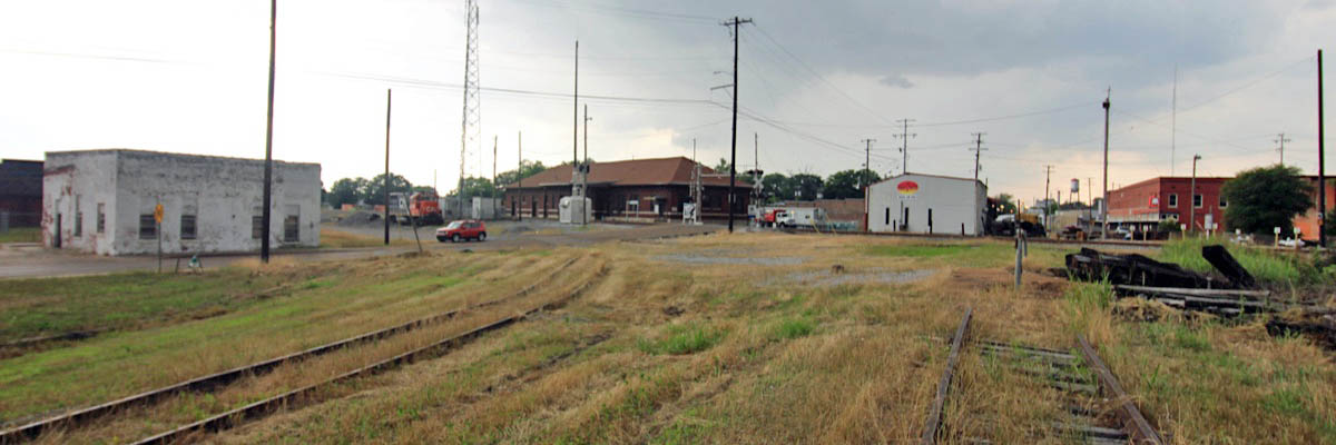
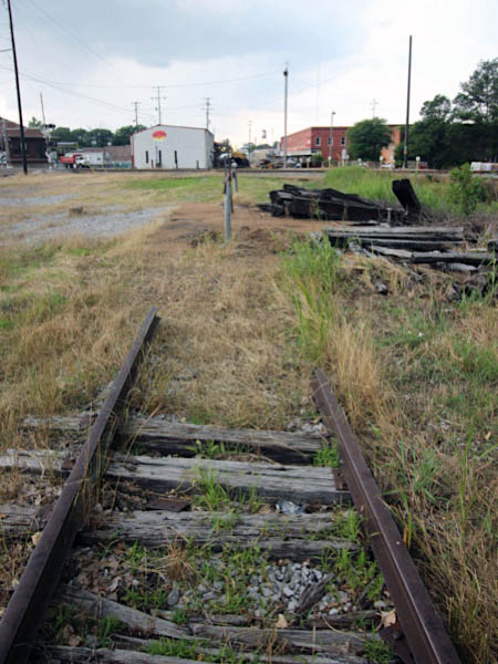
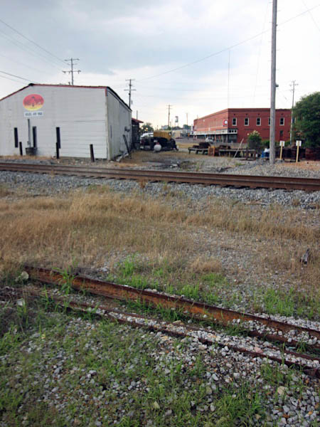
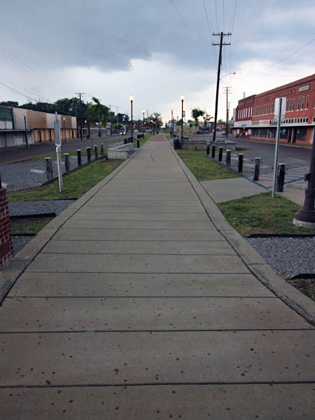
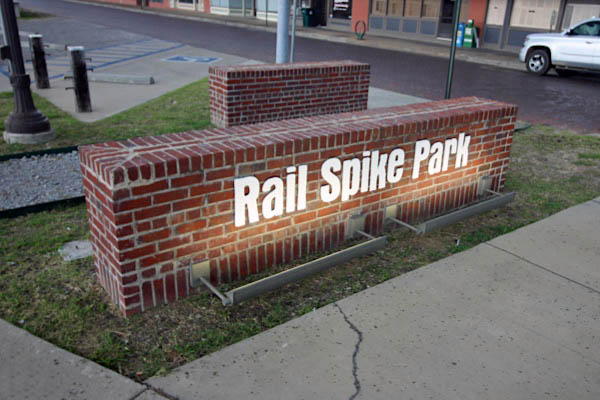
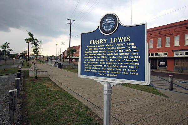
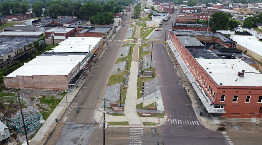
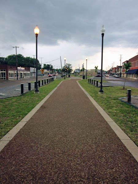
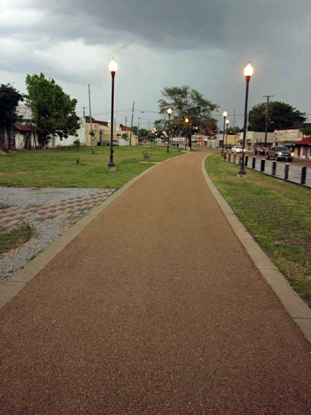
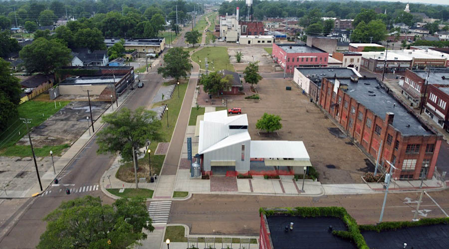
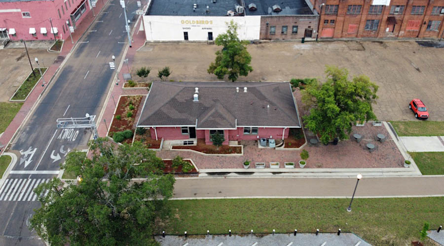
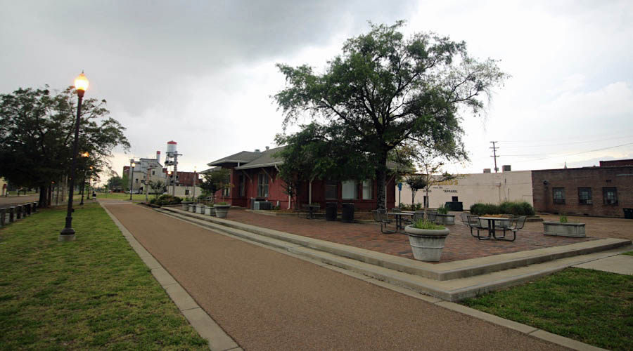
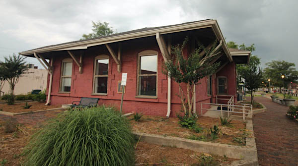
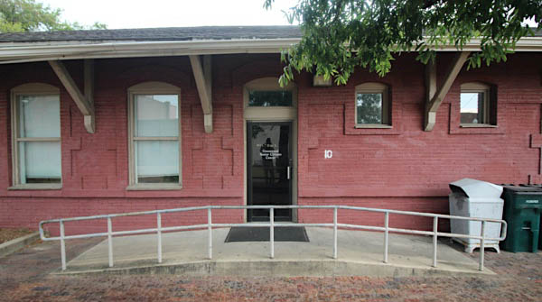
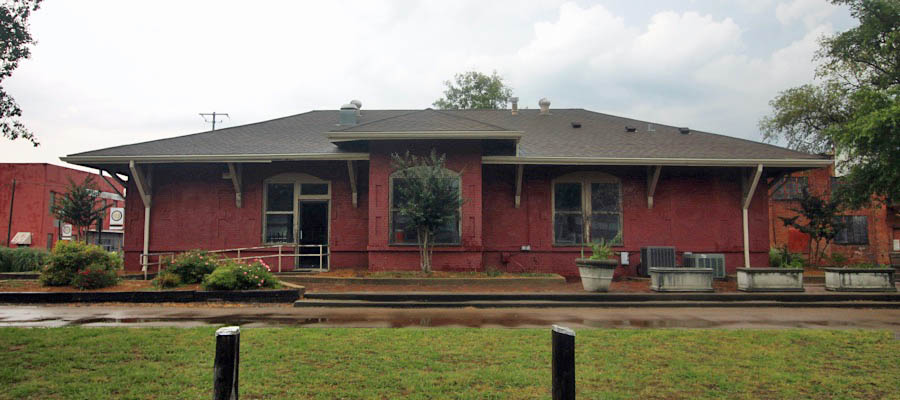
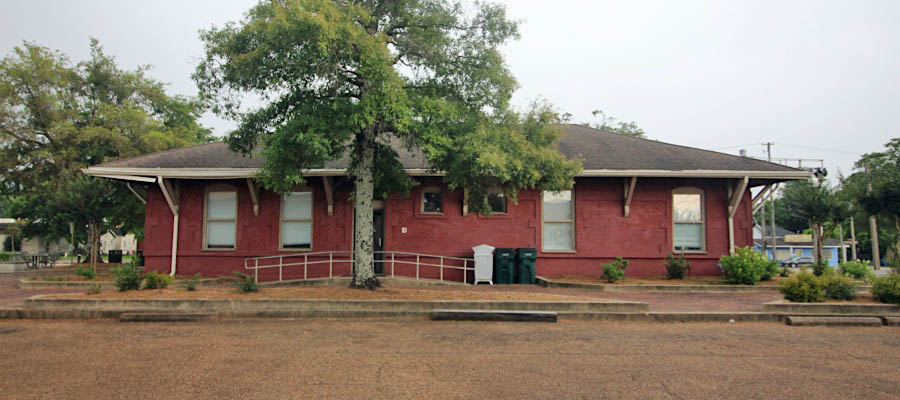
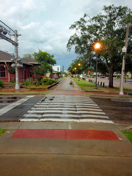
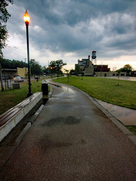
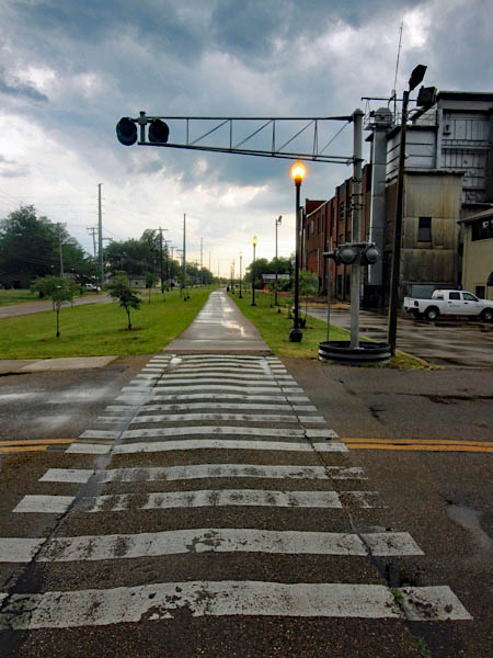
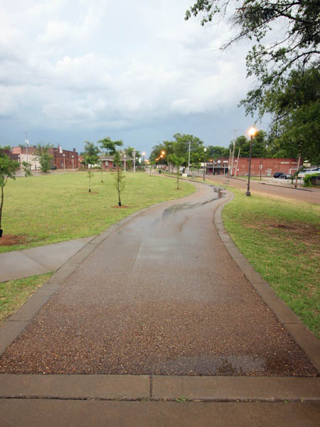
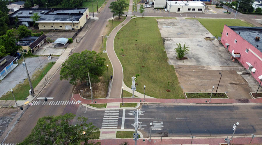
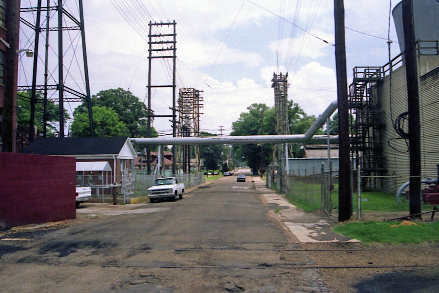
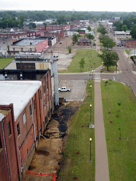
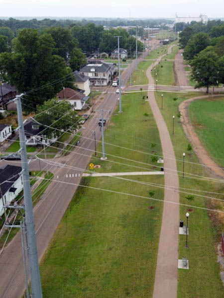
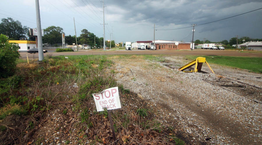
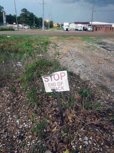
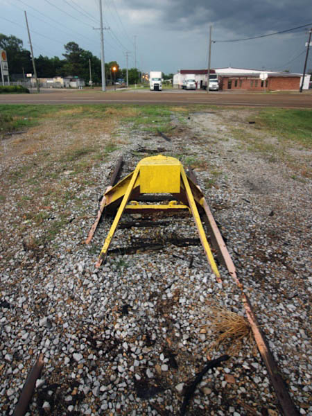
After crossing the Illinois Central diamond, the Columbus & Greenville mainline continued west straight through downtown Greenwood on a central median. Here the line passed the C&G depot and the Greenwood generating station (both below) before continuing to the west side of town. After the line from Greenwood back to West Point was mothballed in 2001, the downtown trackage was removed and the city developed multi-use trail along the right-of-way known today as Rail Spike Park.
Jun 2020 / RWH
Jun 2020 / RWH
Greenwood, Ms / Jun 2020 / RWH
Click to see the Rail Spike Park trailhead plotted on a Google Maps page
Greenwood, Ms / Apr 1973 / Robert Farkas
Greenwood, Ms / Apr 1973 / Robert Farkas
Greenwood, Ms / Jun 2020 / RWH
Jun 2020 / RWH
Jun 2020 / RWH
Jun 2020 / RWH
Greenwood, Ms / Jun 2020 / RWH

See also our complete Greenwood Rail Spike Park scrapbook in Preservation
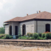
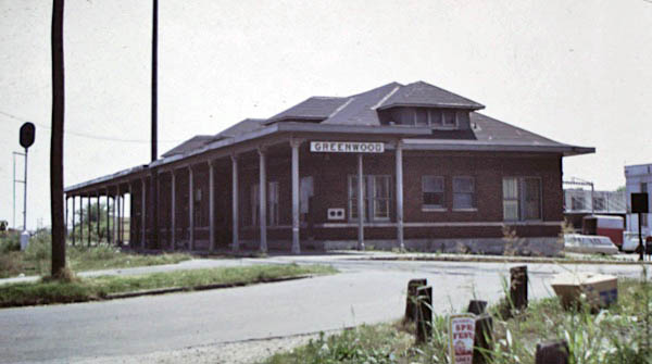
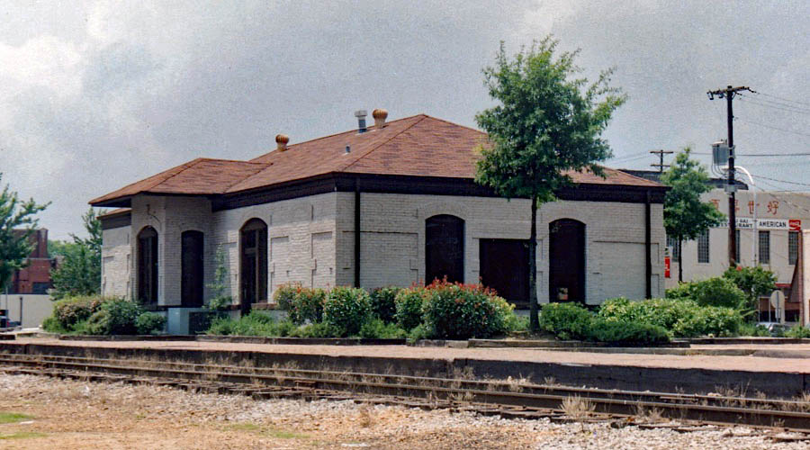
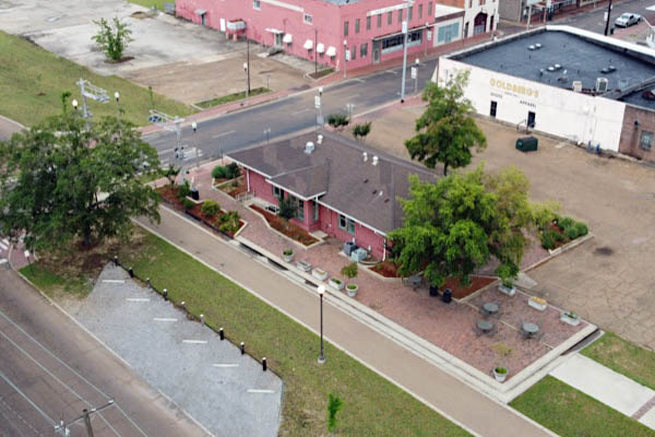
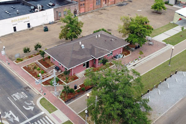
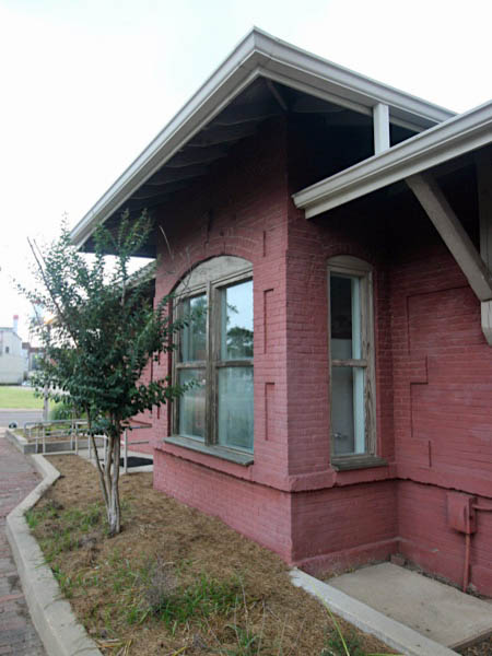
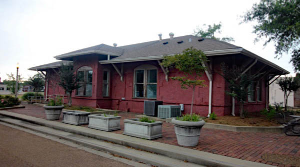
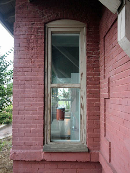
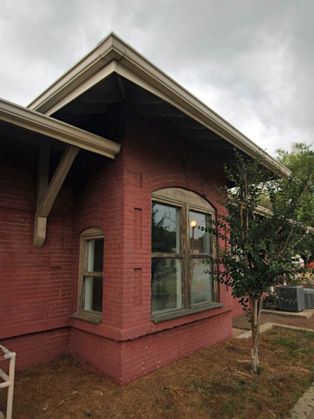
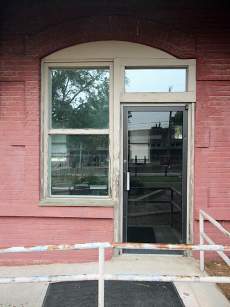
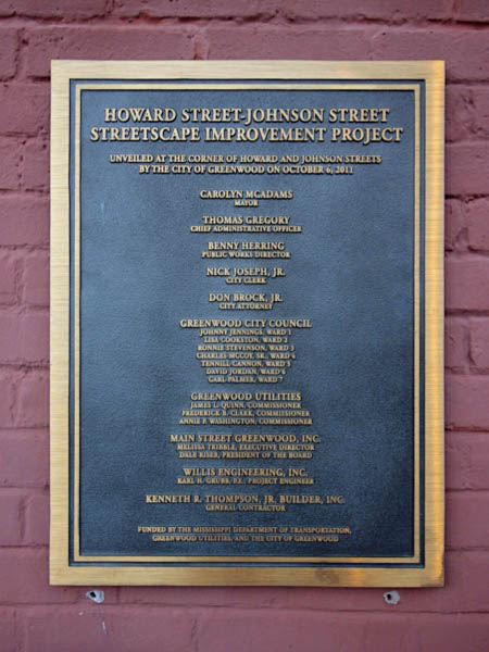
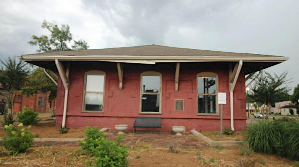
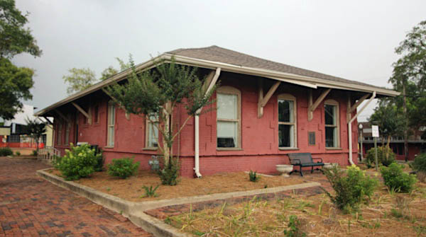
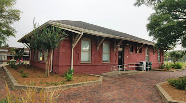
Depot
Greenwood, Ms / May 1972 / JCH
Greenwood, Ms / Jul 1972 / JCH
May 1972 / JCH
Greenwood, Ms / May 1972 / JCH
Greenwood, Ms / Oct 1987 / Gerhard Anderson
Greenwood, Ms / Jul 1989 / RWH
Click to see the former C&G Greenwood depot plotted on a Google Maps page
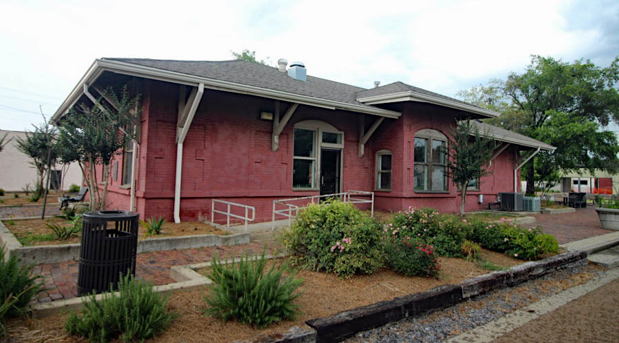
Greenwood, Ms / Jun 2020 / RWH
Greenwood, Ms / Jun 2020 / RWH
Greenwood, Ms / Jun 2020 / RWH
Greenwood, Ms / Jun 2020 / RWH
Greenwood, Ms / Jun 2020 / RWH
Jun 2020 / RWH
Greenwood, Ms / Jun 2020 / RWH
Greenwood, Ms / Jun 2020 / RWH
Greenwood, Ms / Jun 2020 / RWH
Greenwood, Ms / Jun 2020 / RWH
Greenwood, Ms / Jun 2020 / RWH
Jun 2020 / RWH
Greenwood, Ms / Jun 2020 / RWH
Greenwood, Ms / Jun 2020 / RWH
Greenwood, Ms / Jun 2020 / RWH
Greenwood, Ms / Jun 2020 / RWH
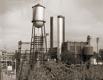
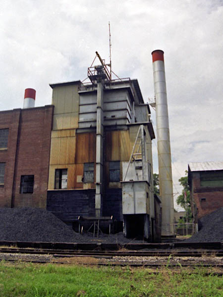
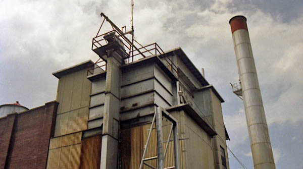
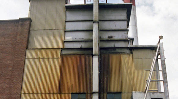
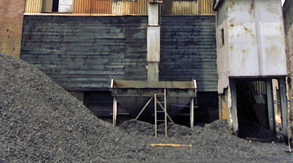
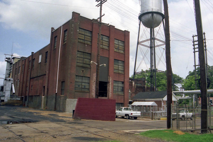
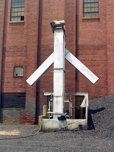
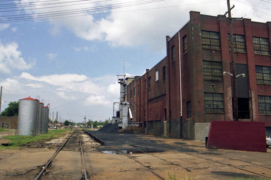
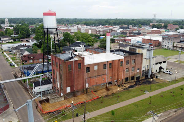
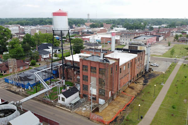
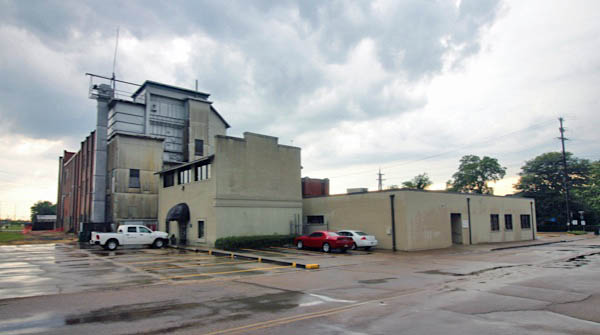
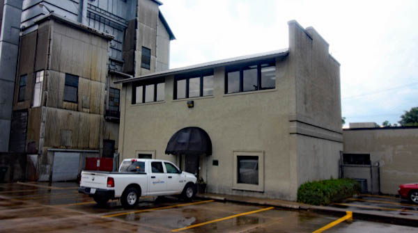
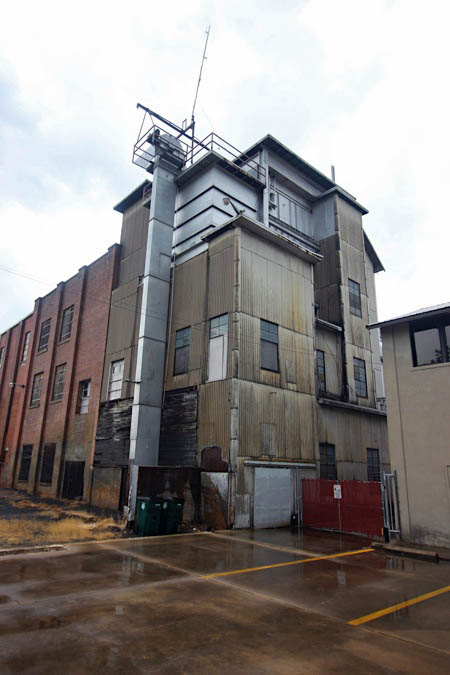
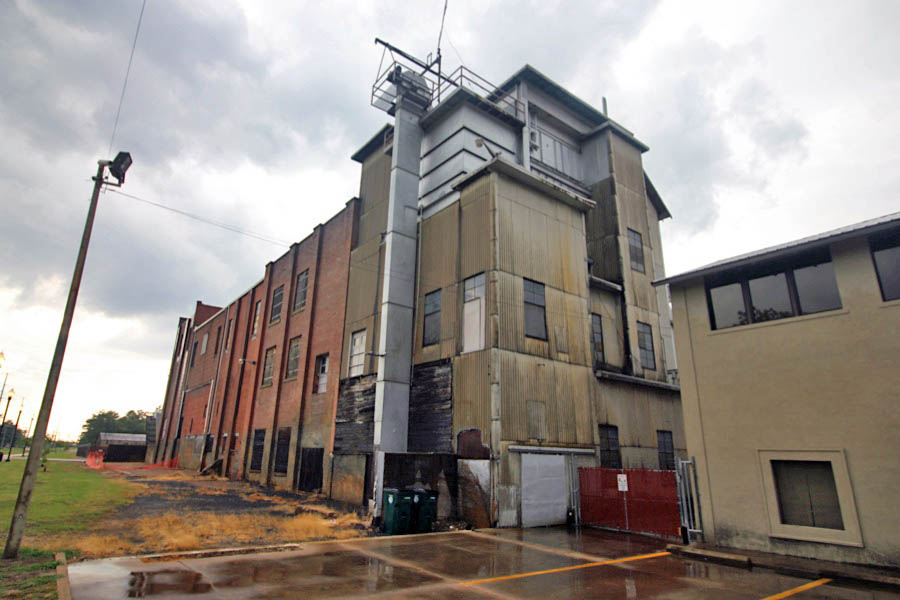
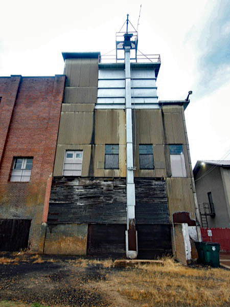
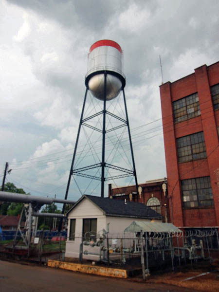
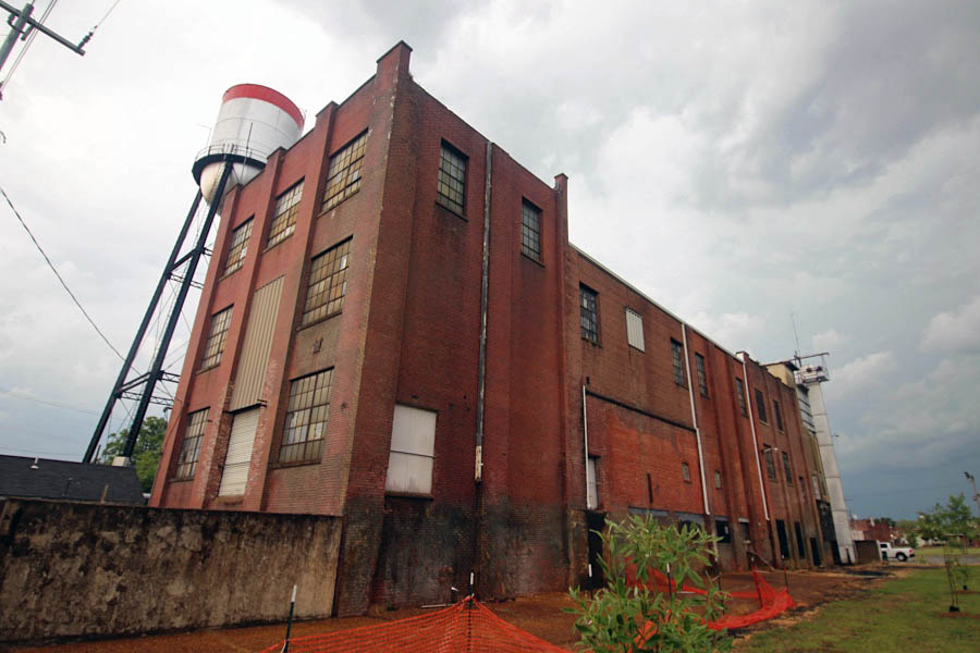
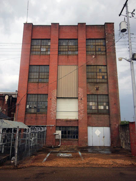
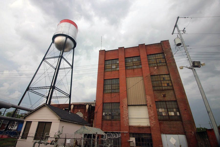
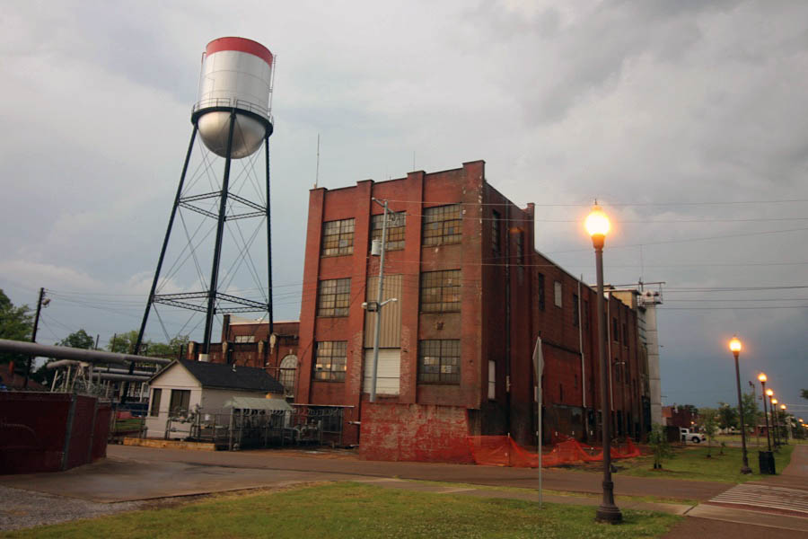
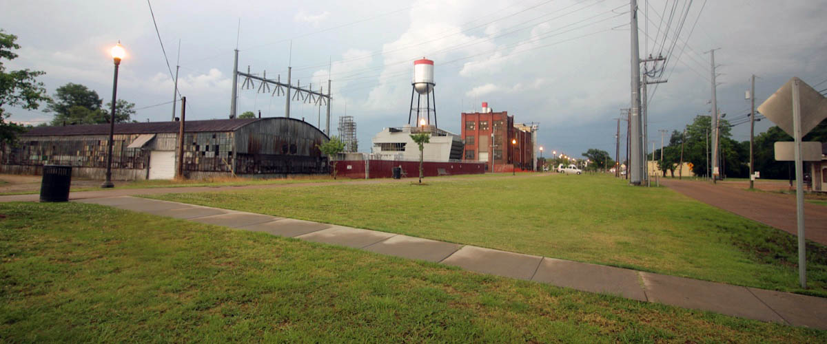
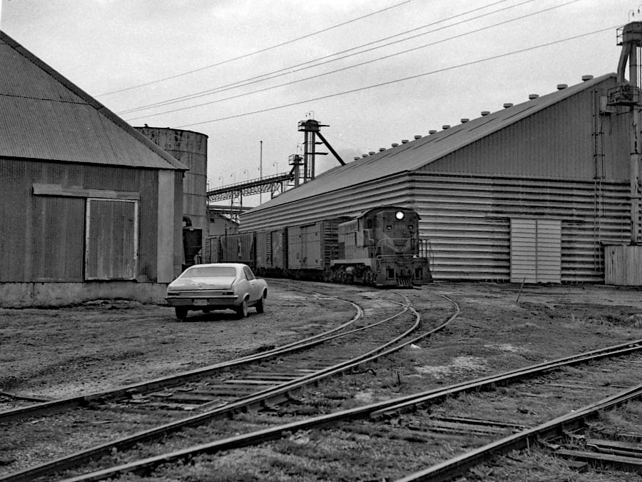
Municipal Generating Station
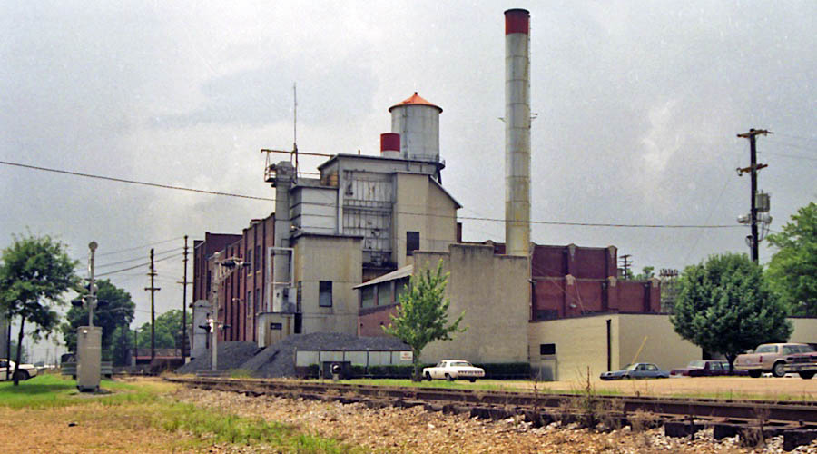
Greenwood, Ms / Jul 1989 / RWH
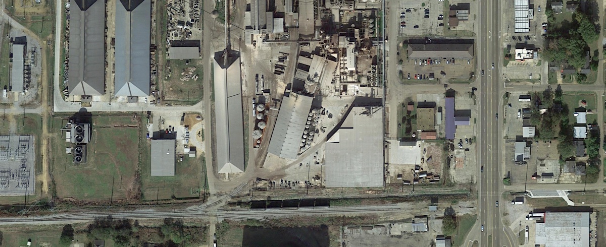
Click to see the Greenwood Utilities generating station plotted on a Google Maps page
 The miracle of electricity was first made available in Greenwood in 1894. T. Staige Marye and Charles E. Wright were awarded a contract on March 6, 1894, for furnishing and operating a street lighting system. Greenwood at that time had a population of about 1,200 inhabitants. On August 7, 1901, an ordinance was passed by the City Council authorizing a referendum on a franchise to C. E. Wright for the construction of a waterworks, electric lights and sanitary sewerage system. This franchise was to extend for a period of twenty-five years, but the City reserved the right to purchase the utilities at any time during this period.
In 1946, Greenwood Light & Water took a major step forward with the installation of a new 7,500 kW steam-turbine generating unit. Designed to burn coal, natural gas and oil, independently or at the same time, the new addition brought the combined capacity of the system to 15,500 kW. At the time it was the largest municipally owned plant in the state.
Jul 1989 / RWH
Jul 1989 / RWH
Greenwood, Ms / Jul 1989 / RWH
Jul 1989 / RWH
Jul 1989 / RWH
Greenwood, Ms / Jul 1989 / RWH
Greenwood, Ms / Jul 1989 / RWH
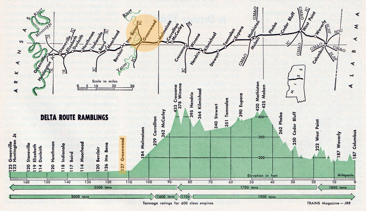
In 1976 two important sources of traffic developed on the Columbus & Greenville. The groundbreaking for the Columbus lock and dam of the Tennessee-Tombigbee Waterway project was held on June 14, 1975, providing valuable traffic in cement and stone over the next couple of years. More importantly, 1976 saw the arrival of thirty cars a week of coal traffic bound for Greenwood Utilities. This business came via an all rail route from Kentucky. After an interruption, the coal arrived down the Mississippi River and was unloaded at the Port of Greenville, then via an all C&G rail haul to Greenwood. It is interesting to note that this important source of revenue is the exact opposite of what was forcast by the builders of the railroad. They, of course, saw coal from the coal regions of Alabama being transported to the river and loaded on barges for shipment. Over the last two years the coal shipments to Greenwood Utilities have averaged twenty cars a week.
Louis R. Saillard — Delta Route: A History of the Columbus & Greenville Railway — 1980
Greenwood, Ms / Jun 2020 / RWH
Greenwood, Ms / Jun 2020 / RWH
Greenwood, Ms / Jun 2020 / RWH
Greenwood, Ms / Jul 1989 / RWH
Greenwood, Ms / Jul 1989 / RWH
Jun 2020 / RWH
Greenwood, Ms / Jul 1989 / RWH

Greenwood, Ms / Jul 1989 / RWH
Greenwood, Ms / Jul 1989 / RWH
Jun 2020 / RWH
Jun 2020 / RWH
Greenwood, Ms / Jul 1989 / RWH
Jun 2020 / RWH
Greenwood, Ms / Jul 1989 / RWH
Greenwood, Ms / Jul 1989 / RWH
Greenwood, Ms / Jun 2020 / RWH
Greenwood, Ms / Jun 2020 / RWH
Greenwood, Ms / Jun 2020 / RWH
Greenwood, Ms / May 1972 / JCH
Greenwood, Ms / May 1972 / JCH
Greenwood, Ms / May 1972 / JCH
Greenwood, Ms / Oct 1987 / collection
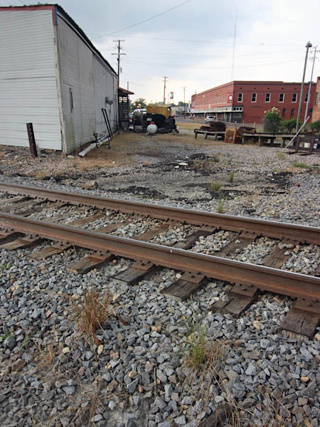
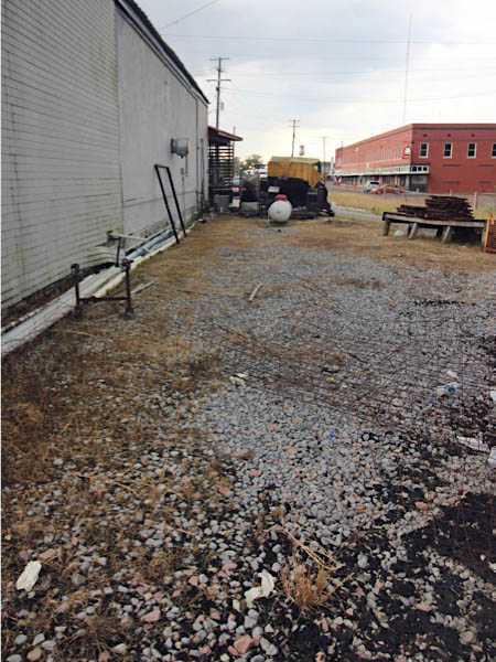
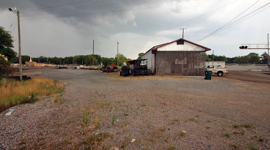
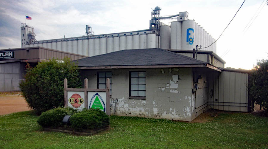
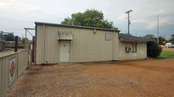
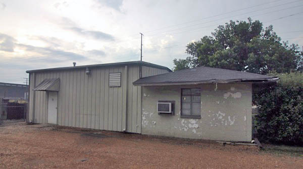
Yard Offices
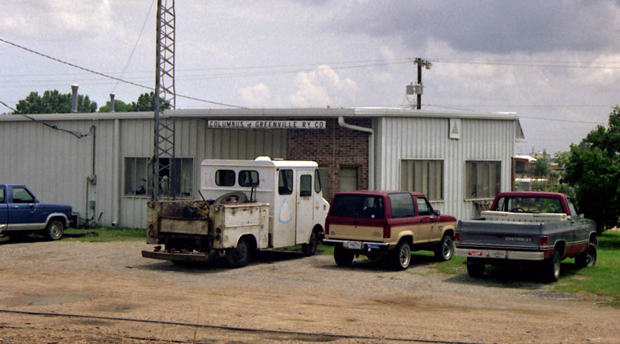
Greenwood, Ms / Jul 1989 / RWH
Greenwood, Ms / Dec 1989 / RWH
Greenwood, Ms / Dec 1989 / RWH
Greenwood, Ms / Jun 1987 / collection
Greenwood, Ms / Jun 2020 / RWH
Greenwood, Ms / Jun 2020 / RWH
Greenwood, Ms / Jun 2020 / RWH
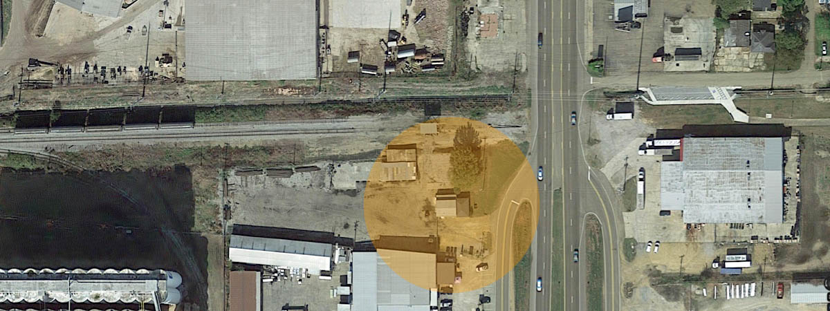
Google Maps
Click to see the current CAGY Greenwood yard office area plotted on a Google Maps page
Jun 2020 / RWH
Jun 2020 / RWH
Greenwood, Ms / Jun 2020 / RWH
Greenwood, Ms / Jun 2020 / RWH
Greenwood, Ms / Jun 2020 / RWH
Greenwood, Ms / Jun 2020 / RWH
Greenwood, Ms / Jun 2020 / RWH
Greenwood, Ms / Jun 2020 / RWH
Greenwood, Ms / Jun 2020 / RWH
Greenwood, Ms / Jun 2020 / RWH
Once a major grade crossing on the Columbus & Greenville's mainline eastward through downtown Greenwood, US Route 49E/82 now marks the eastern end of the mainline between Greenwood and Greenville. East of this highway the former right-of-way is now the Rail Spike Park recreation trail. The former CAGY yard office (shown above in 1989) was located east of this crossing on the south side of the tracks. The current office is located in the southwest quadrant of this highway location, to the immediate right of these photos.
Greenwood, Ms / Jun 2020 / RWH
Greenwood, Ms / Jun 2020 / RWH
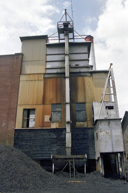
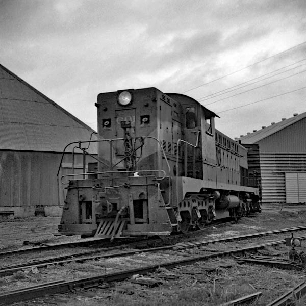
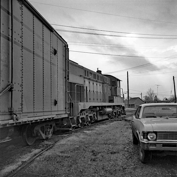
 Shipper Spotlight: Yazoo Valley Cotton Oil Mill
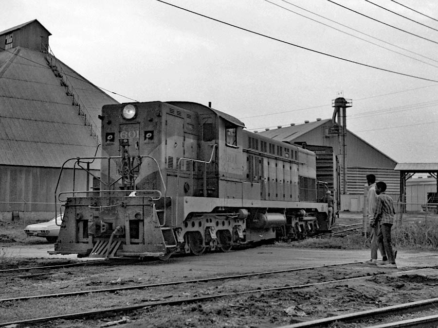
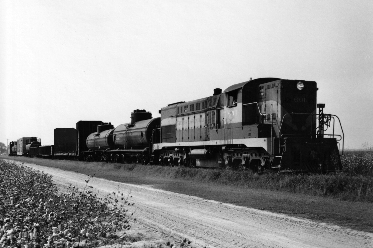
Greenwood, Ms / Dec 1970 / JCH

In late 1970, I went by Greenwood, Mississippi, to see if there was any Columbus & Greenville action. There was! I found Baldwin #601 switching the cotton oil mill on the west end of town. I drove up to the mill fence and took several pictures and began to talk to the engineer. He invited me up for a cab ride while he switched, which I accepted! We went down into the mill trackage and brought out several loaded cars and set them out on the C&G main. We then took several empty cars back inside. Looking out from the fireman's window in the cab, I was amazed at how badly the tracks were out of alignment, and how as #601 rolled over the worst places it rose and settled back with bumps and dips. My guess is that it was 5 mph track. And to think the main was in that shape all the way west to Greenville, some 50 miles away.
Greenwood, Ms / Dec 1970 / JCH
Greenwood, Ms / Dec 1970 / JCH
Greenwood, Ms / 1972 / collection
Click to see the former Yazoo Valley Cotton Oil Mill location plotted on a Google Maps page
Google Maps
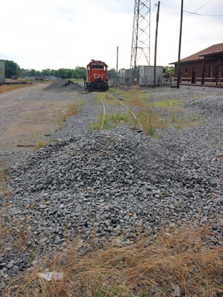
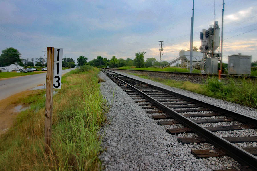
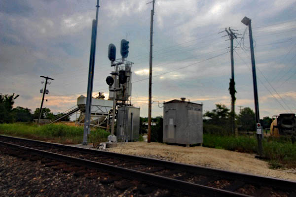
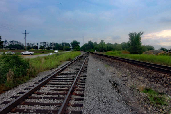
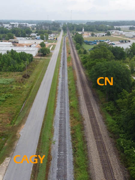
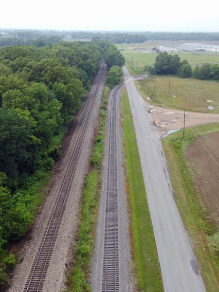
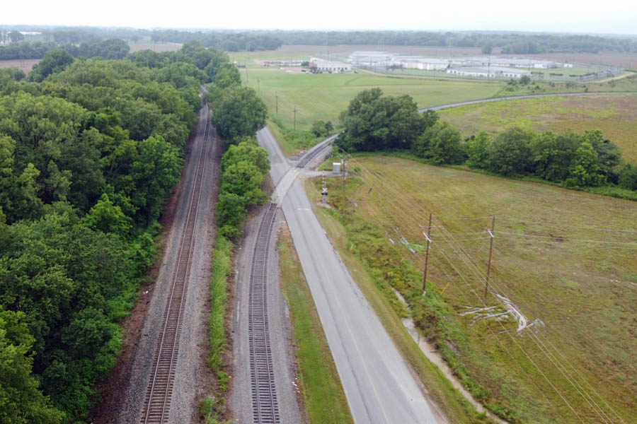
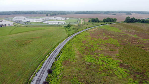
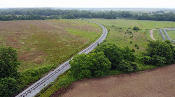
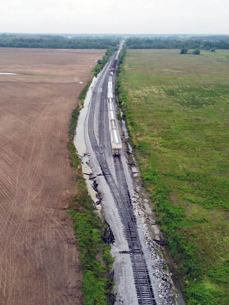
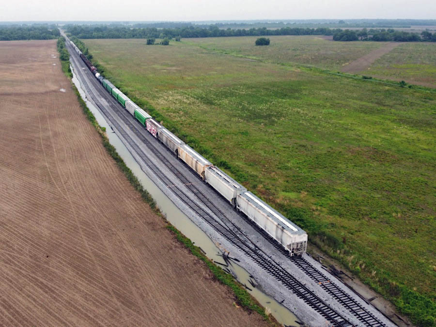
Canadian National Interchange
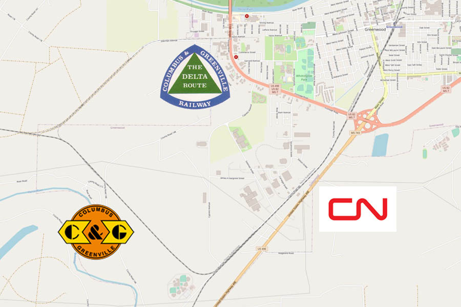
interchange trackage map / RWH
With the closure of the mainline east of Greenwood to West Point, and the removal of CAGY trackage through downtown Greenwood, a new mainline interchange point was constructed south of town along US Route 49E. The interchange track parallels the Canadian National (former Illinois Central) mainline to the southwest before turning northwest through a series of small yards before joining the original CAGY mainline at a wye.
Greenwood, Ms / Jun 2020 / RWH

Click to see the current CAGY-CN interchange point plotted on a Google Maps page
Greenwood, Ms / Jun 2020 / RWH
Greenwood, Ms / Jun 2020 / RWH
northbound view / RWH
southbound view / RWH
Greenwood, Ms / Jun 2020 / RWH
Greenwood, Ms / Jun 2020 / RWH
Greenwood, Ms / Jun 2020 / RWH
Jun 2020 / RWH
Greenwood, Ms / Jun 2020 / RWH
See next our Western Towns scrapbook to continue along the Delta Route line