 |
Western Maryland Scenic Station Locations |
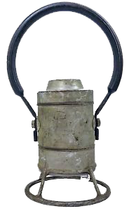
Cumberland, Md / Jun 2022 / RWH

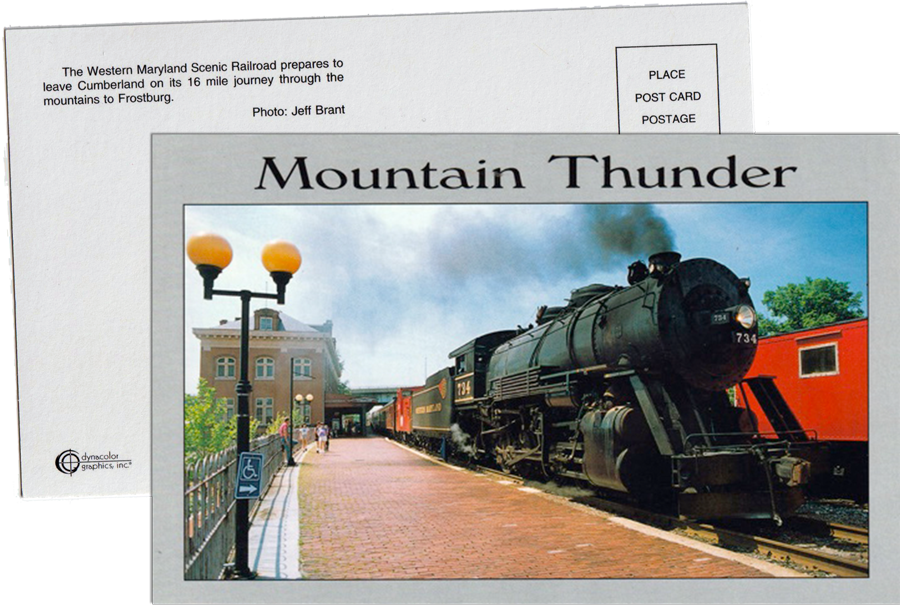
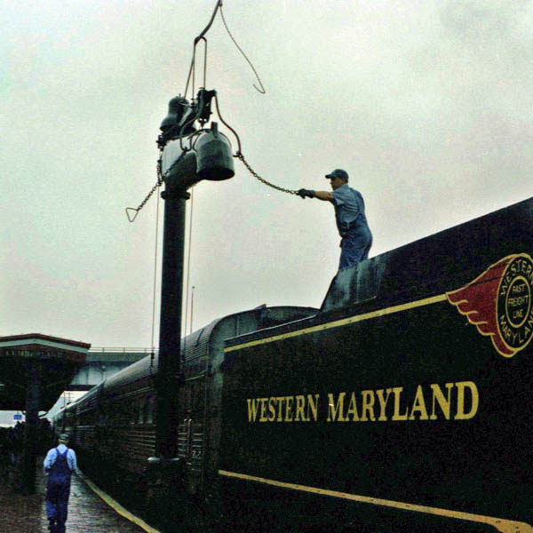
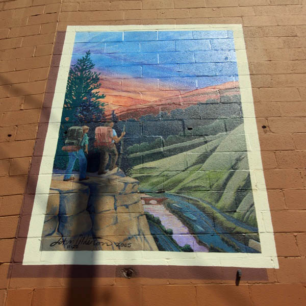
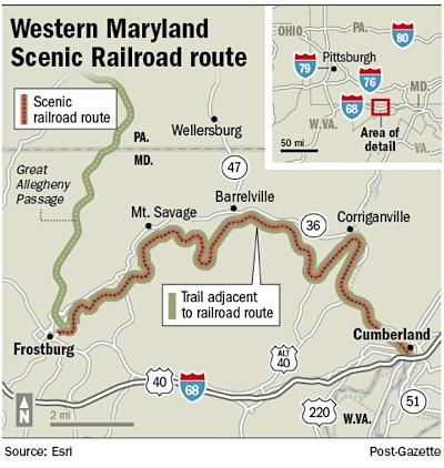 Join us for a relaxing journey through the mountains of Allegany County in vintage passenger cars behind historic diesel-electric locomotives. Passengers will experience a 4.5 hour round trip, starting and ending at the historic depot in downtown Cumberland with a 90-minute layover in the beautiful town of Frostburg, allowing for time to explore the shops and restaurants on Main Street. Leaving Cumberland, the route travels west through a breach in the Allegheny Mountains over an iron truss bridge, around Helmstetter’s Horseshoe Curve and through the 914-foot Brush Tunnel under Piney Mountain. Climbing grades up to 2.8% on the 16-mile trek, the route follows the former Western Maryland Railroad right-of-way, then joins the old Cumberland & Pennsylvania Railroad.
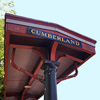
 Cumberland
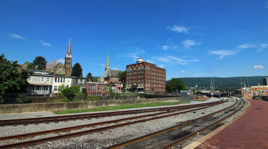
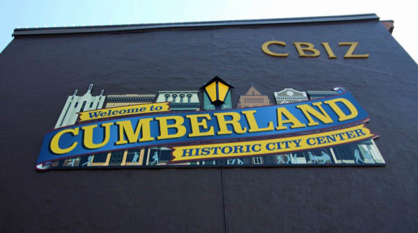
For generations an American Indian village, then a western outpost of roughshod cabins established by European Americans, Cumberland eventually became a stop for many in the push west. In this role, the city grew into a transportation hub, first as the starting point of the first National Road - now known as Route 40, or National Highway - and then as home to numerous railroads and the western terminus of the famous C&O Canal. As the city raced through the 19th century and into the 20th, it became less dependent on railroads as more industry moved to the area. Glass manufacturing and brewing were big, as were tires and steel.
 For generations an American Indian village, then a western outpost of roughshod cabins established by European Americans, Cumberland eventually became a stop for many in the push west. In this role, the city grew into a transportation hub, first as the starting point of the first National Road - now known as Route 40, or National Highway - and then as home to numerous railroads and the western terminus of the famous C&O Canal.
As the city raced through the 19th century and into the 20th, it became less dependent on railroads as more industry moved to the area. Glass manufacturing and brewing were big, as were tires and steel.
For generations an American Indian village, then a western outpost of roughshod cabins established by European Americans, Cumberland eventually became a stop for many in the push west. In this role, the city grew into a transportation hub, first as the starting point of the first National Road - now known as Route 40, or National Highway - and then as home to numerous railroads and the western terminus of the famous C&O Canal.
As the city raced through the 19th century and into the 20th, it became less dependent on railroads as more industry moved to the area. Glass manufacturing and brewing were big, as were tires and steel.
Cumberland, Md / Jul 2020 / RWH
Jul 2020 / RWH
Cumberland, Md / Jul 2020 / RWH
Cumberland, Md / Jul 2020 / RWH
Cumberland, Md / Jul 2020 / RWH
postcard / collection
Click to see the Western Maryland station area plotted on a Google Maps page
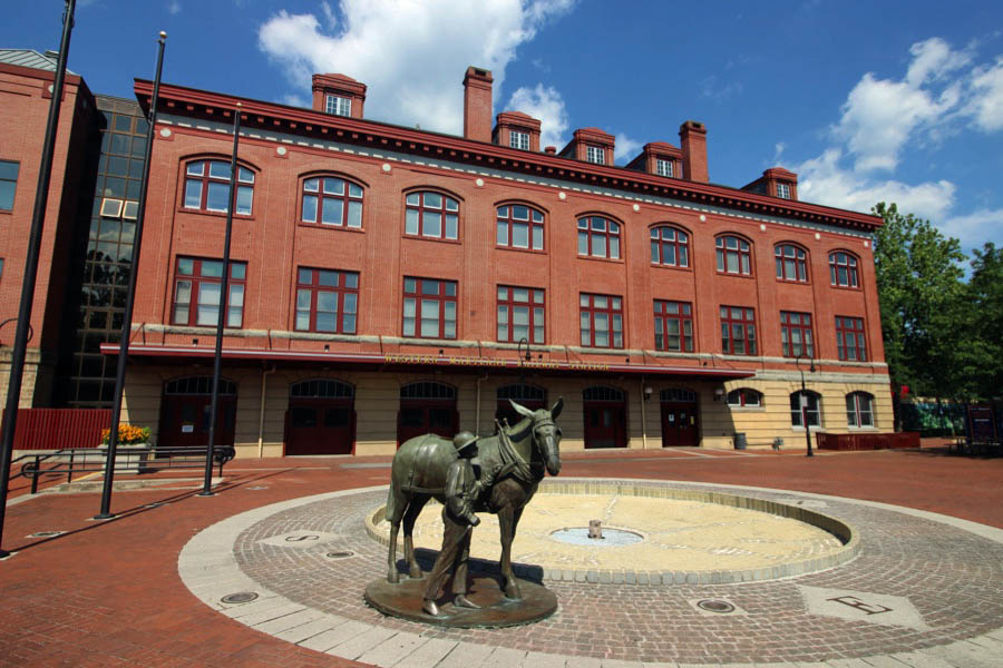
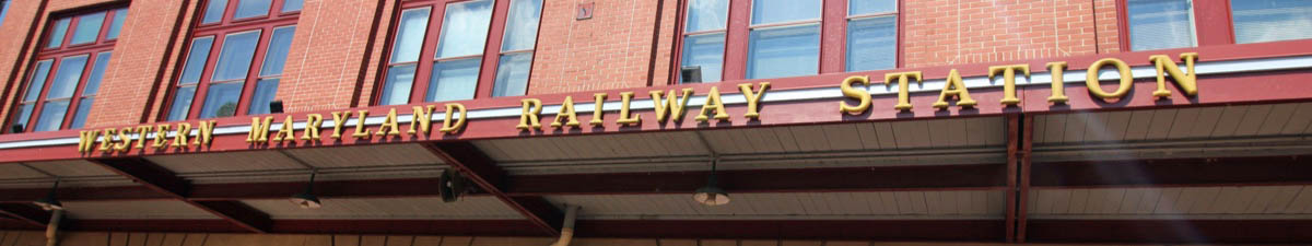
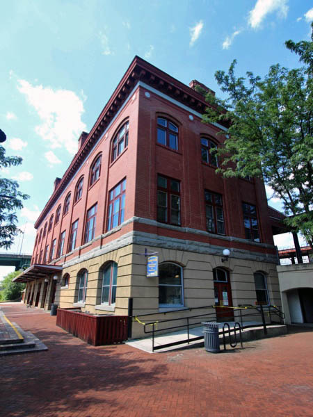
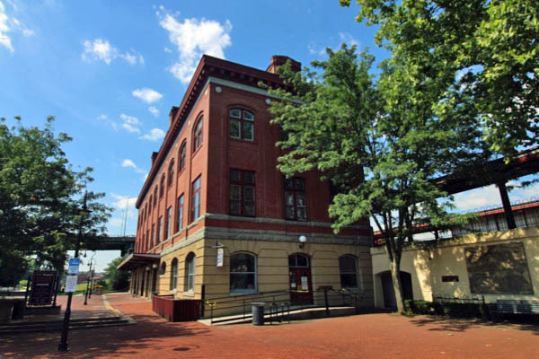
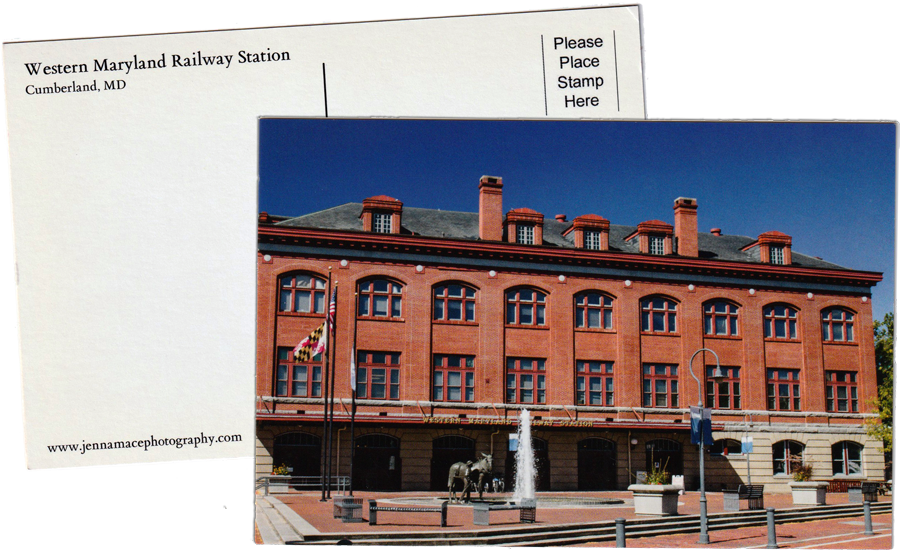
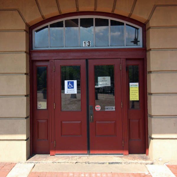
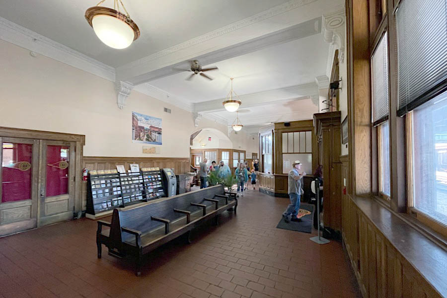
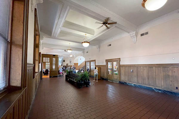
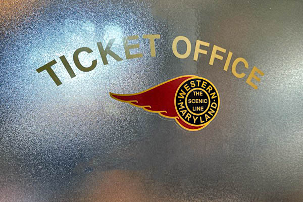
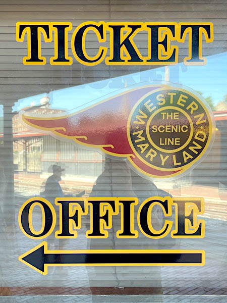
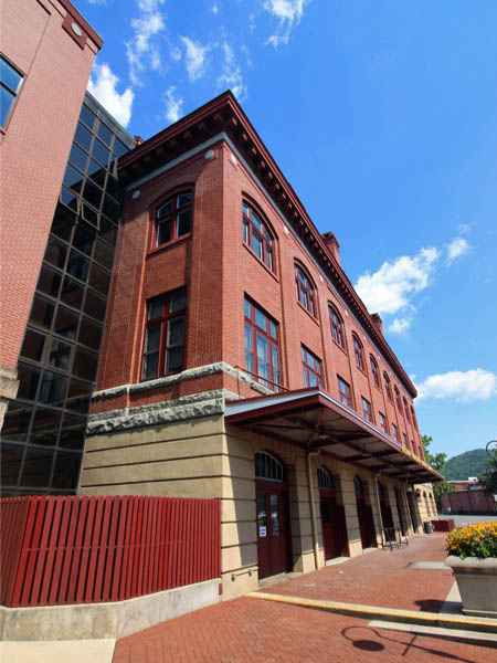
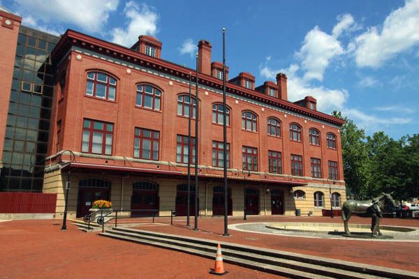
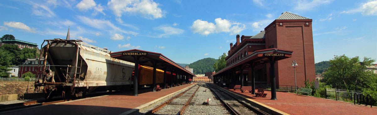
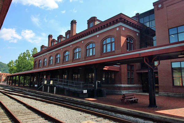
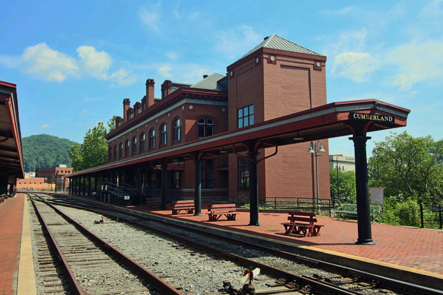
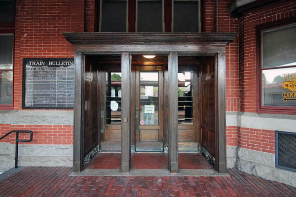
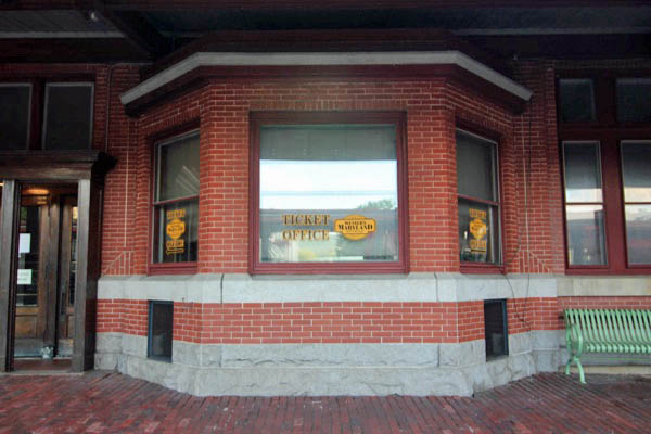
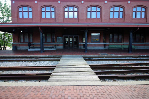
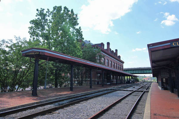
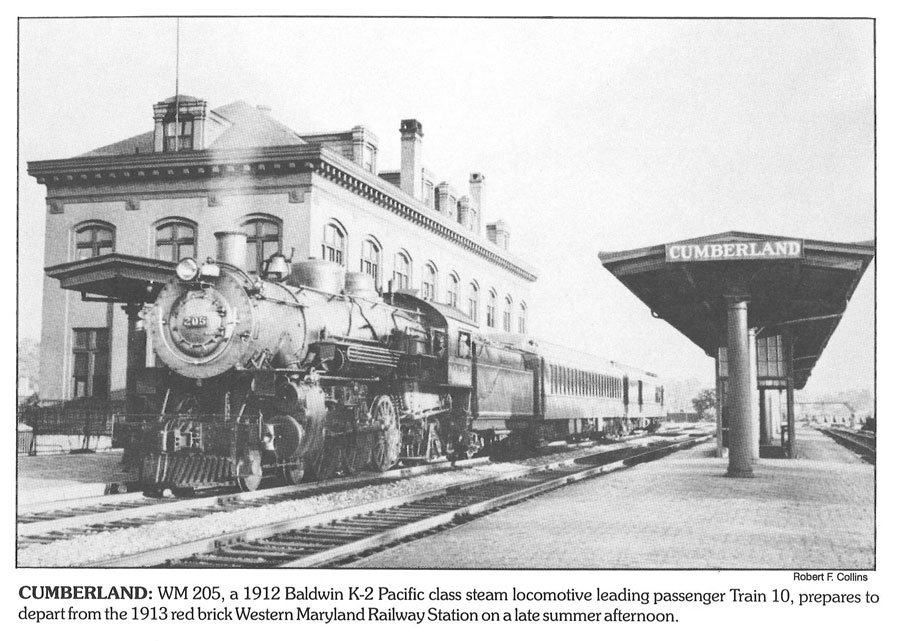
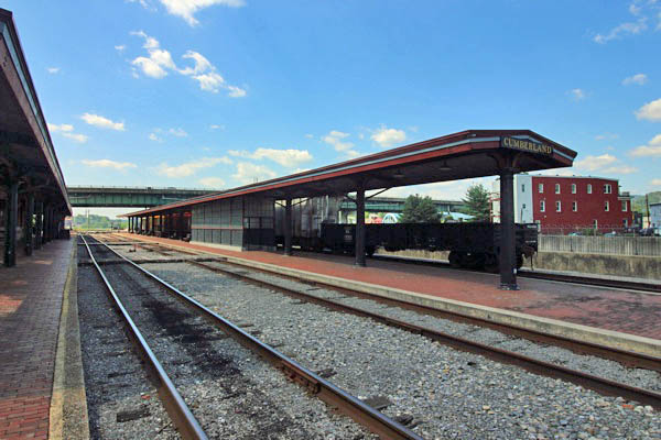
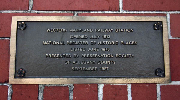
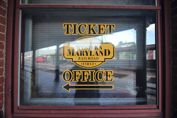
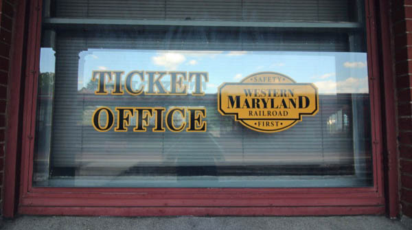
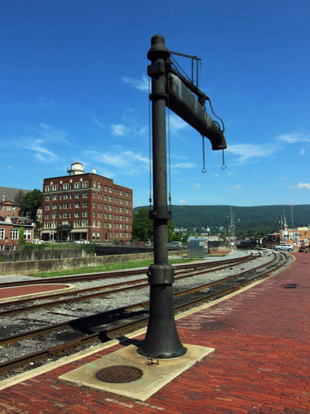
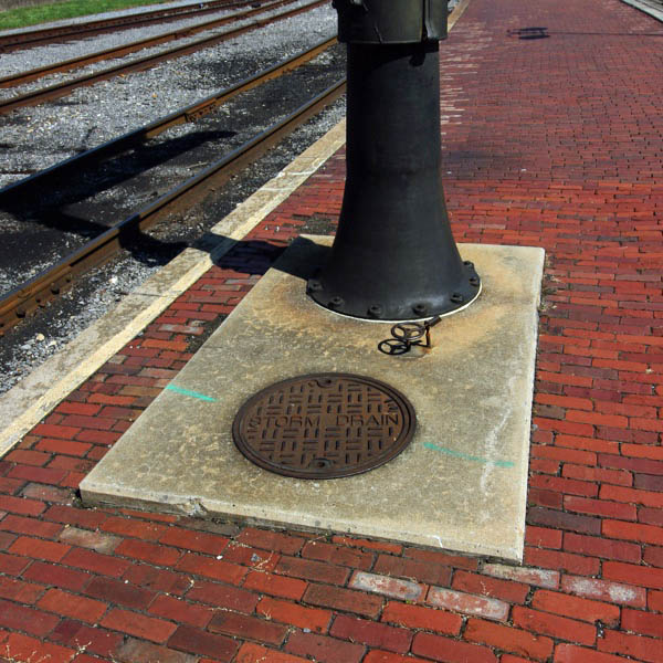
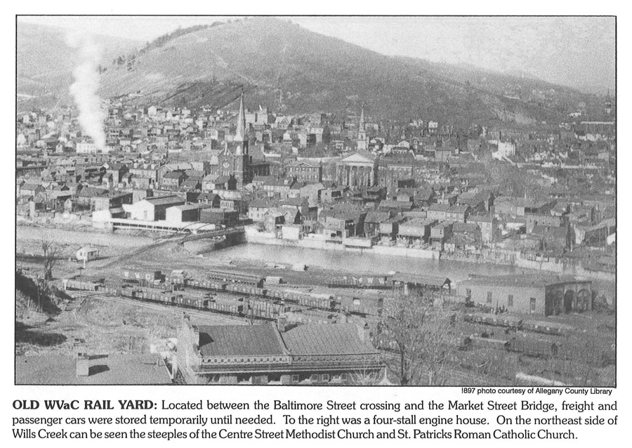
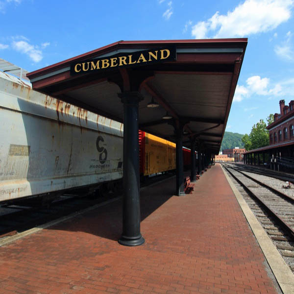 Cumberland was a major stop on the Western Maryland because the city was a chief destination for the railroads that served great portions of West Virginia and its rich seams of coal. Touting its new-found status, Cumberland gained a new WM station in 1913 designed by C.M. Anderson. The depot was built on the north end of the old canal basin which had been filled in as the canal declined in importance. The new station was three stories plus an attic enclosed under a hipped roof pierced by dormers; elevated tracks on the east side of the building placed the platforms at the level of the second floor.
The first floor base of rusticated dressed stone supports two additional stories constructed of red brick. A prominent modillioned cornice and frieze wrap around the structure, and visually tie into the base through the use of the same material. The façade is rhythmically divided into equal bays composed of a segmented arch at the base topped by a two-story, recessed segmented arch on the brick portion of the façade. The station served not only its namesake and associated coal lines purchased by the Fuller Syndicate, but also the Pennsylvania Railroad which provided through service to Washington, D.C., and New York City.
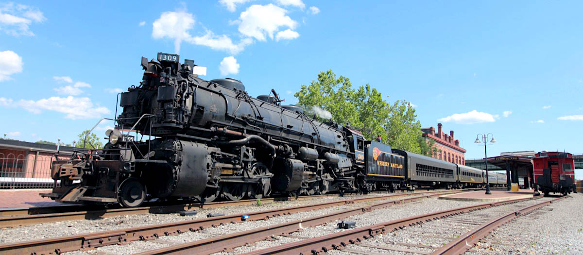
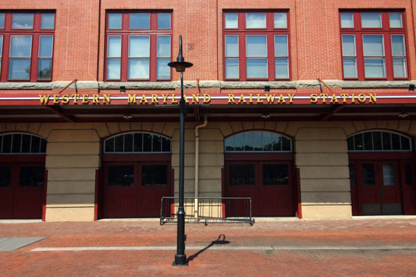
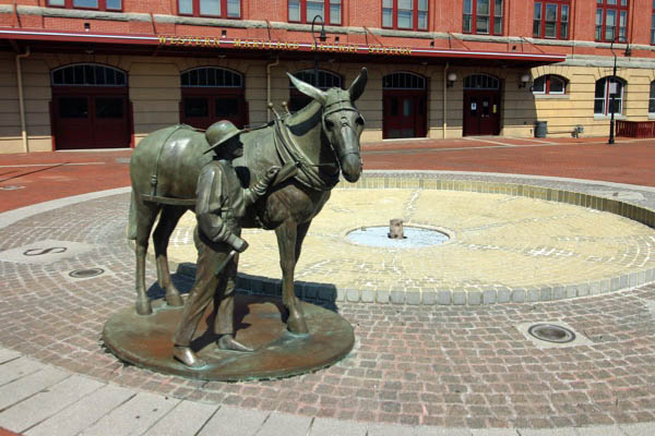
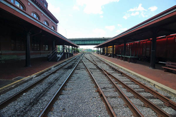
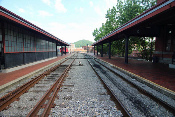
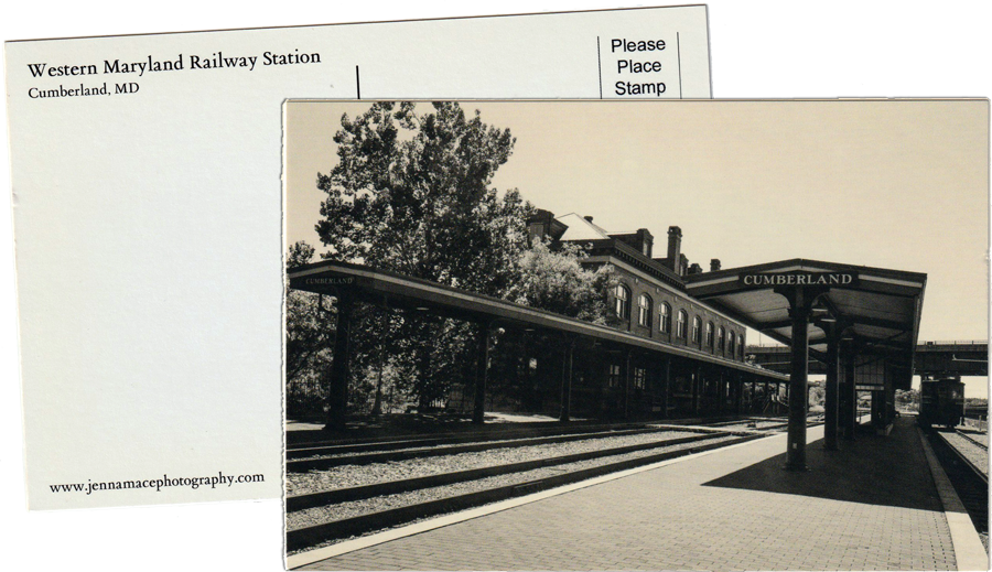
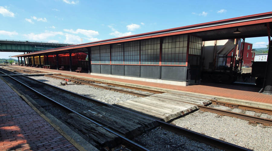
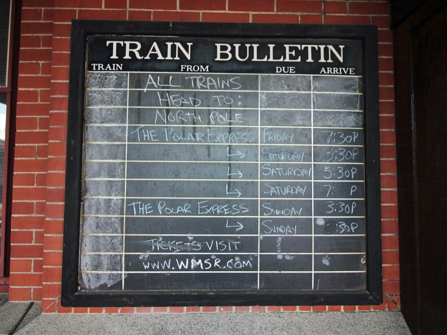
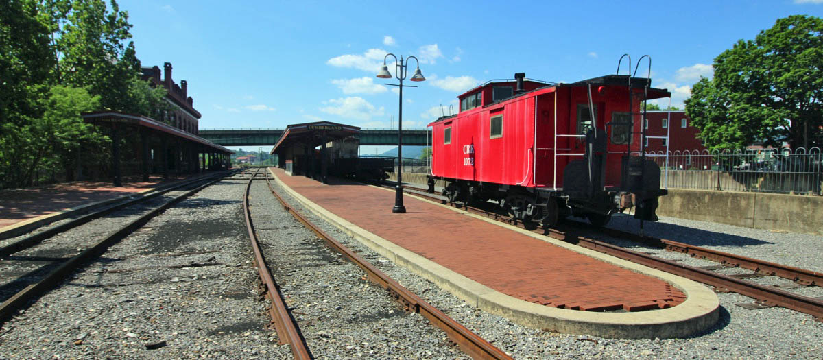
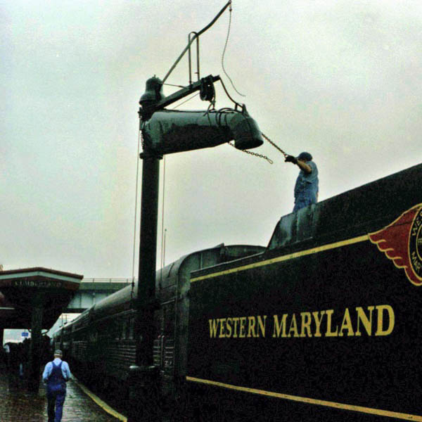
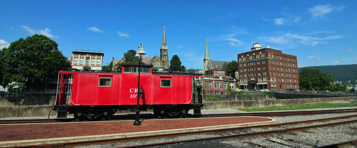
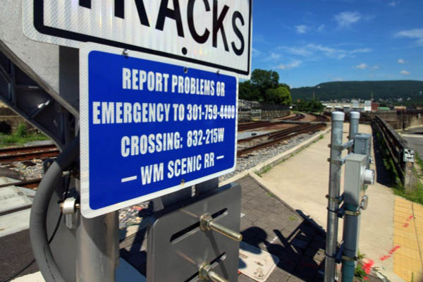
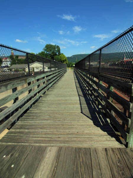
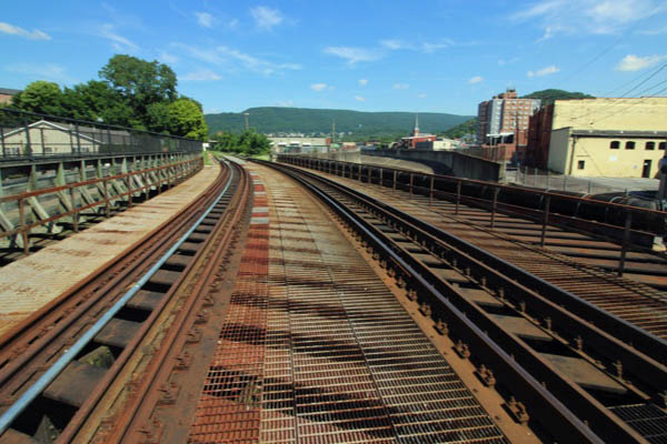
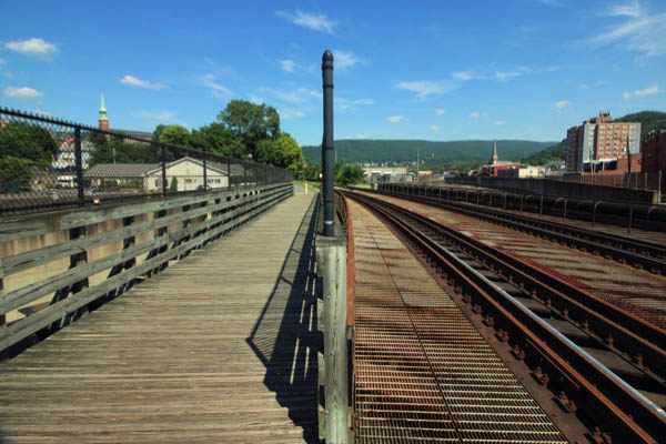
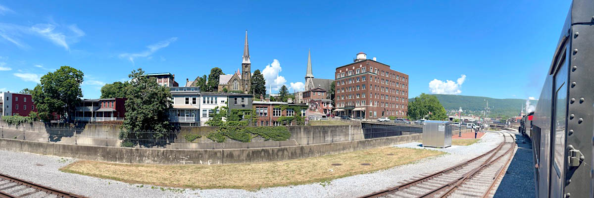
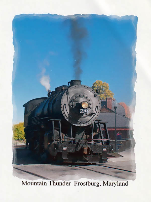
 Closed in 1958, the station underwent a series of renovations in the 1990s and is today once again a bustling center in downtown Cumberland known as Canal Place. Although the WM trackage was eventually subsumed into CSX through a series of mergers and purchases in the late twentieth century, a portion is now operated at the Western Maryland Scenic Railroad which makes a roughly ten mile, three-and-a-half hour excursion run to nearby Frostburg. The vintage locomotives and cars pass through the Cumberland Narrows and beautiful mountain scenery especially popular in fall when the trees are in a riot of color.
Jun 2022 / RWH
Jun 2022 / RWH
Jun 2022 / RWH
Jun 2022 / RWH
Jun 2022 / RWH
Jun 2022 / RWH
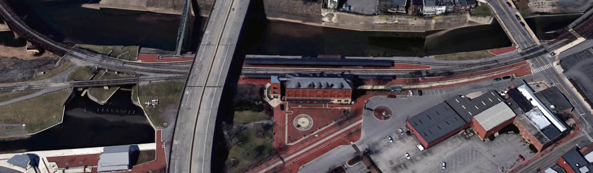
Western Maryland station overhead / Google Maps
Jul 2020 / RWH
Cumberland, Md / Jul 2020 / RWH
Cumberland, Md / Jul 2020 / RWH
Cumberland, Md / Jul 2020 / RWH
Cumberland, Md / Jul 2020 / RWH
Jul 2020 / RWH
Jul 2020 / RWH
Cumberland, Md / Jul 2020 / RWH
Cumberland, Md / Jul 2020 / RWH
Cumberland, Md / Jul 2020 / RWH
Cumberland, Md / Jul 2020 / RWH
Cumberland, Md / Jul 2020 / RWH
Jul 2020 / RWH
Cumberland, Md / Jul 2020 / RWH
from Western Maryland Scenic Travel Guide
/ collection
postcard / collection
Cumberland, Md / Jul 2020 / RWH
Jul 2020 / RWH
Cumberland, Md / Jul 2020 / RWH
Jul 2020 / RWH
Jul 2020 / RWH
Jul 2020 / RWH
Jul 2020 / RWH
Cumberland, Md / Jul 2020 / RWH
postcard / collection
Jul 2020 / RWH
Jul 2020 / RWH
Jul 2020 / RWH
Jul 2020 / RWH
Jul 2020 / RWH
Jul 2020 / RWH
Cumberland, Md / Jul 2020 / RWH
Cumberland, Md / Jul 2020 / RWH
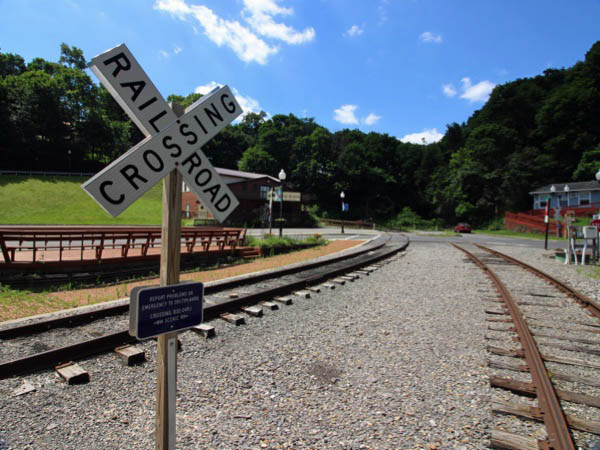
Click to see the Baltimore Street crossing plotted on a Google Maps page
Cumberland, Md / Jul 2020 / RWH
Cumberland, Md / Jul 2020 / RWH
from Western Maryland Scenic Travel Guide
/ collection
Cumberland, Md / Jul 2020 / RWH
Cumberland, Md / Jul 2020 / RWH
Cumberland, Md / Jul 2020 / RWH
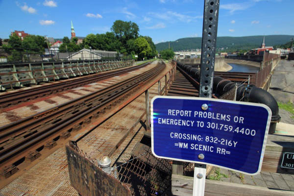
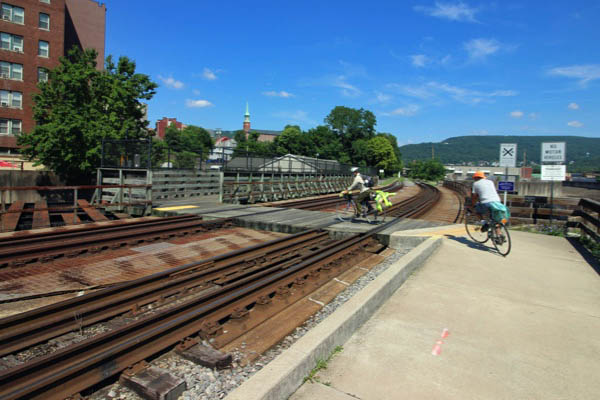
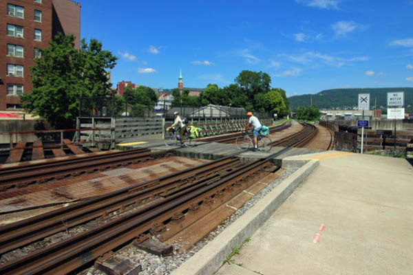
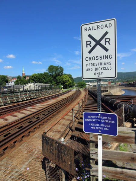
On the last 16 miles to Cumberland, you’ll parallel the Western Maryland Scenic Railroad, which runs steam locomotive excursions on weekends and many weekdays. In fact, 9 miles past Frostburg, the trail shares the 900-foot Brush Tunnel with the train. It’s recommended to avoid entering the tunnel with the noisy and smoky train; the locomotive emerging from the tunnel makes a better photo anyway.
Past the tunnel is Cumberland Narrows, where the GAP squeezes through a water gap created by Wills Creek between Wills Mountain and Haystack Mountain. The old National Freeway (US 40), the scenic railroad, and CSX share this historic passage. The C&O Canal Towpath begins where the GAP ends at the confluence of Wills Creek and the North Branch of the Potomac River in downtown. Here, you’ll find the Cumberland Visitor Center for the towpath.
Cumberland, Md / Jul 2020 / RWH
Cumberland, Md / Jul 2020 / RWH
Jul 2020 / RWH
Jul 2020 / RWH
Jul 2020 / RWH
Jul 2020 / RWH
Cumberland, Md / Jun 2022 / RWH
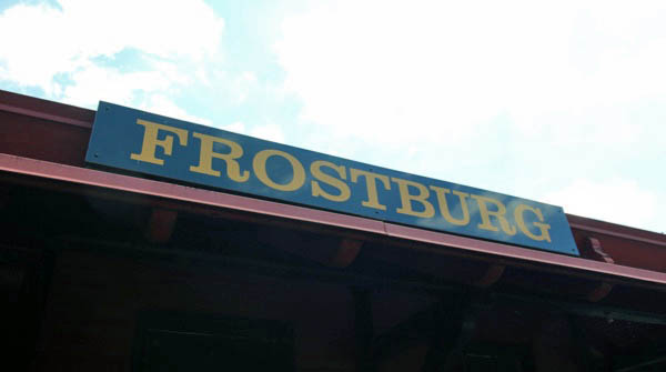
Frostburg
Frostburg, Md / Jul 2020 / RWH
Frostburg, Maryland is a small college town in Western Maryland boasting Frostburg State University; a four-year graduate and undergraduate public university. The university shares its name with the town in which it is located. Nestled in the state's Appalachian highlands, the area rich in its mining and education heritage and is known for crisp autumns, snowy winters, beautiful springs and cool summers. Its location provides easy access to Pennsylvania and West Virginia, while the major metropolitan areas of Pittsburgh, Washington, D.C., and Baltimore are only a few hours away. Frostburg is a Historic Main Street community with many "turn of the century" homes. It has 18 churches representing many denominations and is a growing municipality full of creativity and community spirit. Frostburg provides six community parks for recreational activities and was named after Meshach Frost.
 Frostburg, Maryland is a small college town in Western Maryland boasting Frostburg State University; a four-year graduate and undergraduate public university. The university shares its name with the town in which it is located. Nestled in the state's Appalachian highlands, the area rich in its mining and education heritage and is known for crisp autumns, snowy winters, beautiful springs and cool summers.
Its location provides easy access to Pennsylvania and West Virginia, while the major metropolitan areas of Pittsburgh, Washington, D.C., and Baltimore are only a few hours away.
Frostburg is a Historic Main Street community with many "turn of the century" homes. It has 18 churches representing many denominations and is a growing municipality full of creativity and community spirit. Frostburg provides six community parks for recreational activities and was named after Meshach Frost.
Frostburg, Maryland is a small college town in Western Maryland boasting Frostburg State University; a four-year graduate and undergraduate public university. The university shares its name with the town in which it is located. Nestled in the state's Appalachian highlands, the area rich in its mining and education heritage and is known for crisp autumns, snowy winters, beautiful springs and cool summers.
Its location provides easy access to Pennsylvania and West Virginia, while the major metropolitan areas of Pittsburgh, Washington, D.C., and Baltimore are only a few hours away.
Frostburg is a Historic Main Street community with many "turn of the century" homes. It has 18 churches representing many denominations and is a growing municipality full of creativity and community spirit. Frostburg provides six community parks for recreational activities and was named after Meshach Frost.
Frostburg, Md / Jul 2020 / RWH
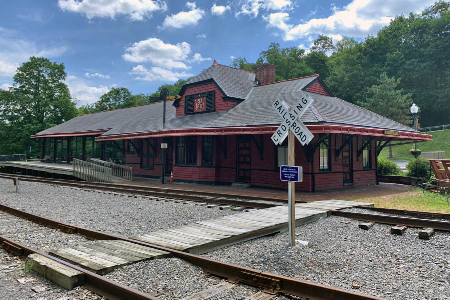
Click to see the Frostburg depot area plotted on a Google Maps page
Frostburg, Md / Jul 2020 / RWH
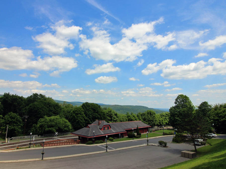
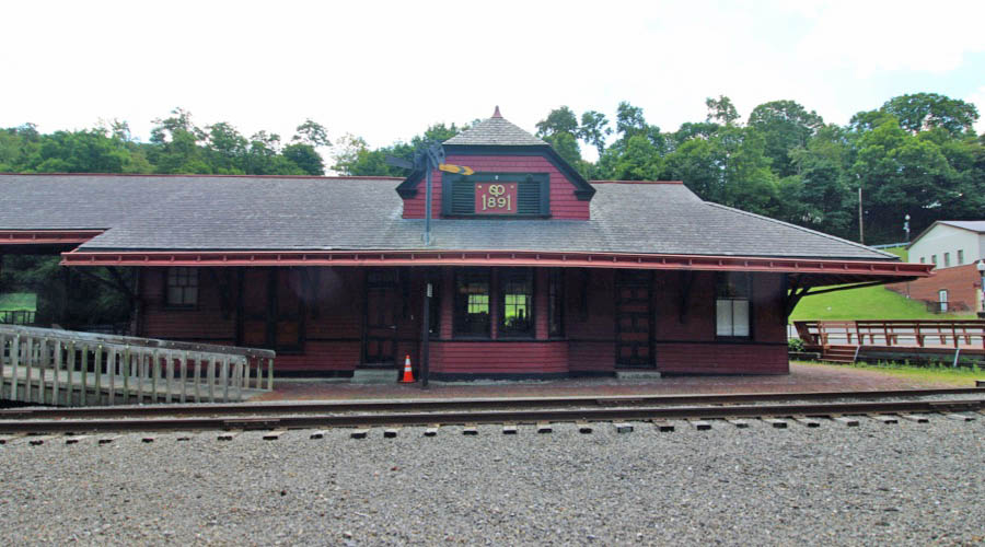
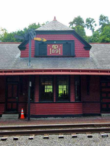
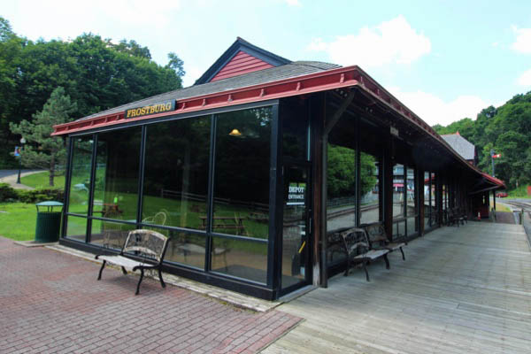
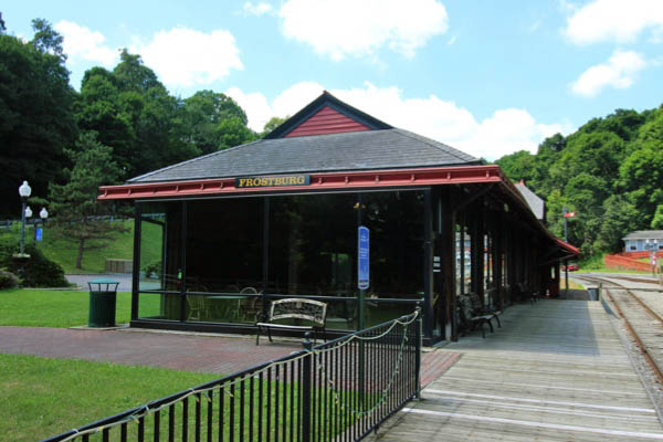
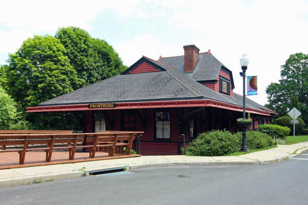
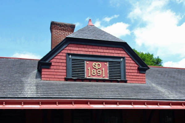
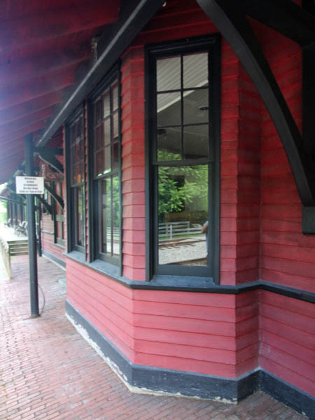
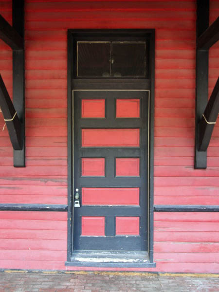
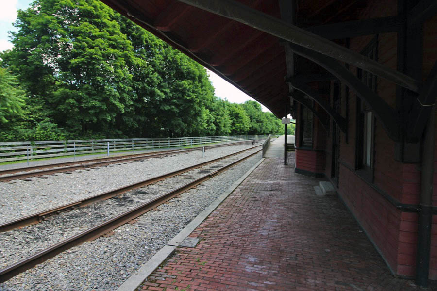
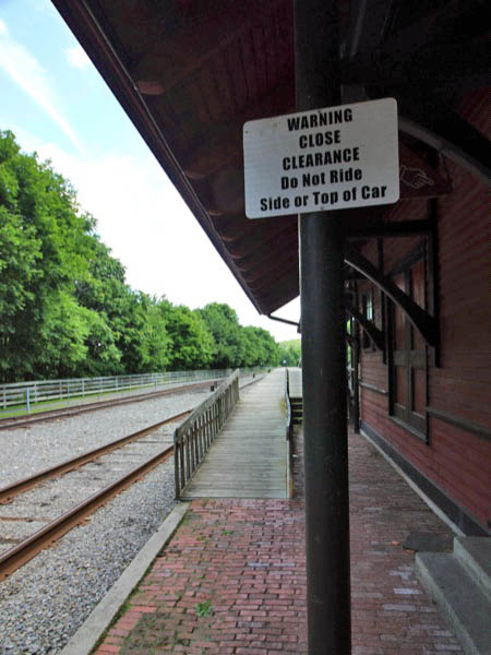
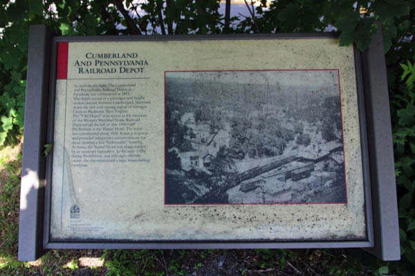
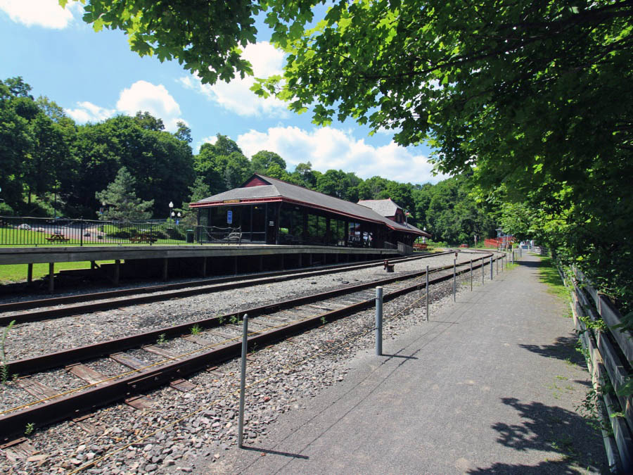
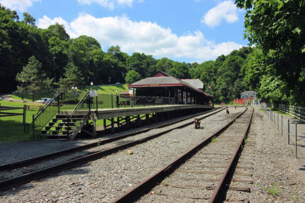
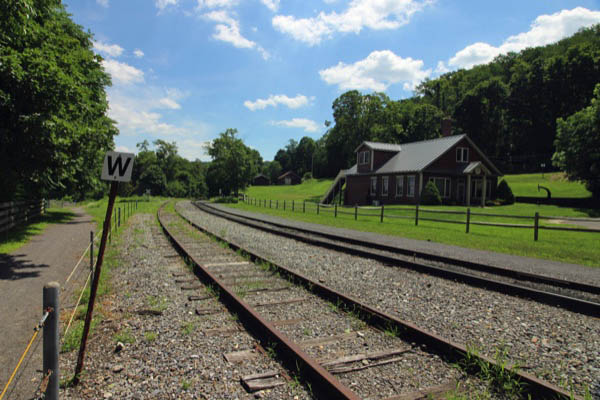
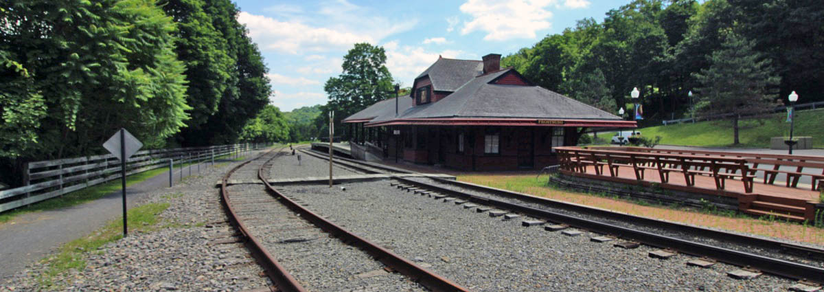
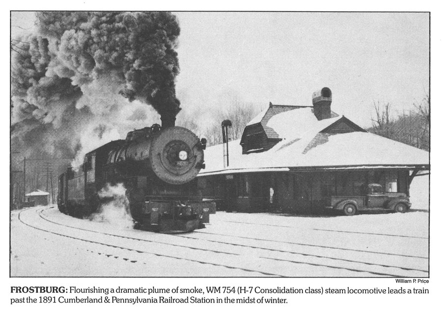
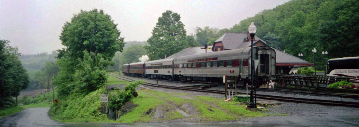
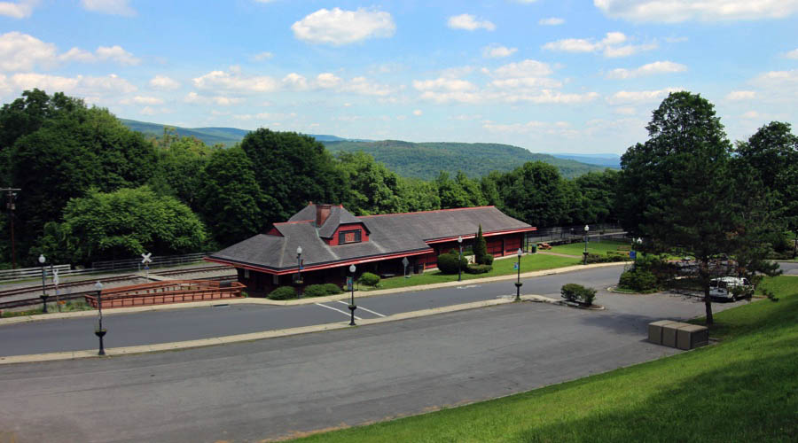
The depot at Frostburg was originally designed for the Cumberland & Pennsylvania Railroad by architect Ephraim Francis Baldwin and was constructed in 1891. It contained an office, waiting rooms, freight and baggage sections. Today it serves as the western terminus of the Western Maryland Scenic Railroad.
Jul 2020 / RWH
Frostburg, Md / Jul 2020 / RWH
Frostburg, Md / Jul 2020 / RWH
Frostburg, Md / Jul 2020 / RWH
Jul 2020 / RWH
1910 Official Guide ad / collection
Frostburg, Md / Jul 2020 / RWH
collection
Jul 2020 / RWH
Jul 2020 / RWH
Jul 2020 / RWH
Frostburg, Md / Jul 2020 / RWH
Frostburg, Md / Jul 2020 / RWH
Frostburg, Md / Jul 2020 / RWH
Frostburg, Md / Jul 2020 / RWH
from Western Maryland Scenic Travel Guide
/ collection
Frostburg, Md / Jun 2003 / RWH
Frostburg, Md / Jul 2020 / RWH
Jul 2020 / RWH
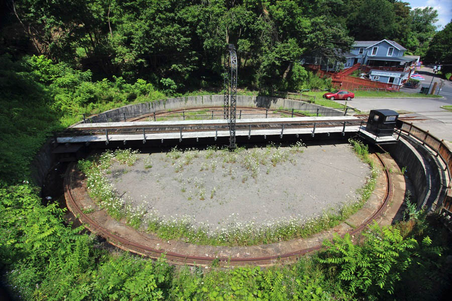
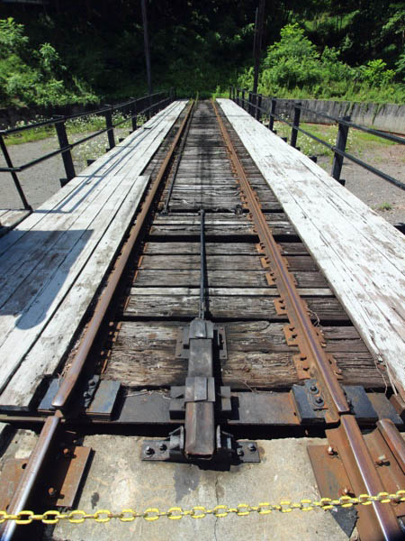
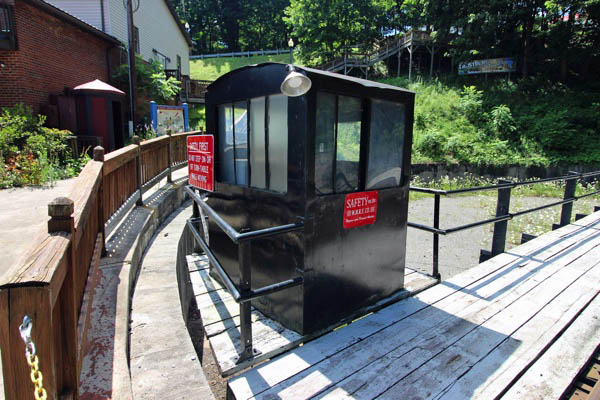
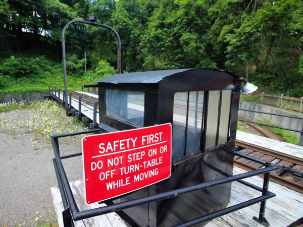
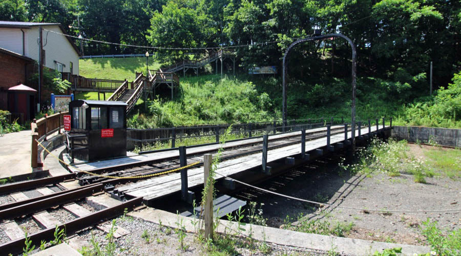
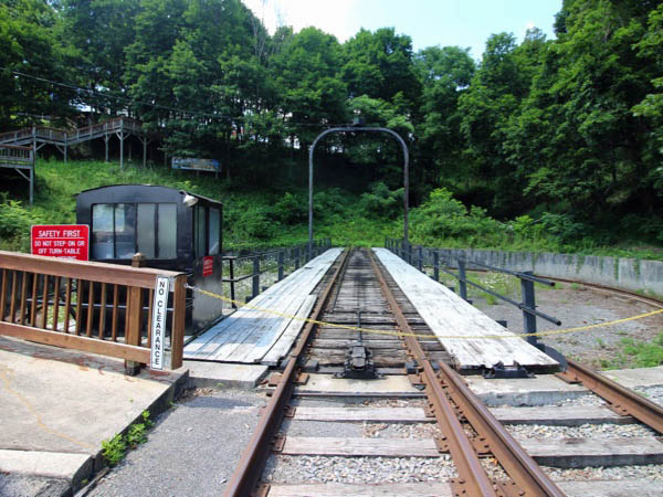
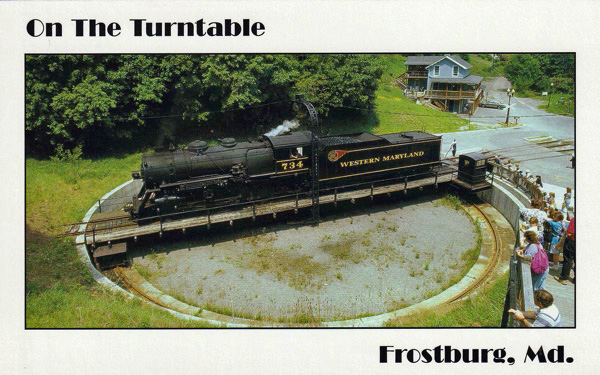
The train then proceeds up the Allegheny Front through a water gap formed by Jennings Run, passes Mt. Savage, and terminates at the former Cumberland and Pennsylvania Railroad depot in Frostburg. The train lays over there for about 90 minutes to allow passengers to visit the town, and the locomotive is turned back there on a turntable that originally served the Western Maryland in Elkins, West Virginia. The train then returns to Cumberland by the same route.
Frostburg, Md / Jul 2020 / RWH
Jul 2020 / RWH
Frostburg, Md / Jul 2020 / RWH
Frostburg, Md / Jul 2020 / RWH
Frostburg, Md / Jul 2020 / RWH
Frostburg, Md / Jul 2020 / RWH
Frostburg, Md / Jul 2020 / RWH
postcard / collection
Jul 2020 / RWH