 |
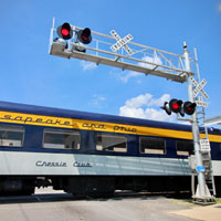
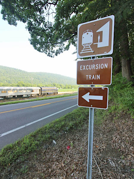
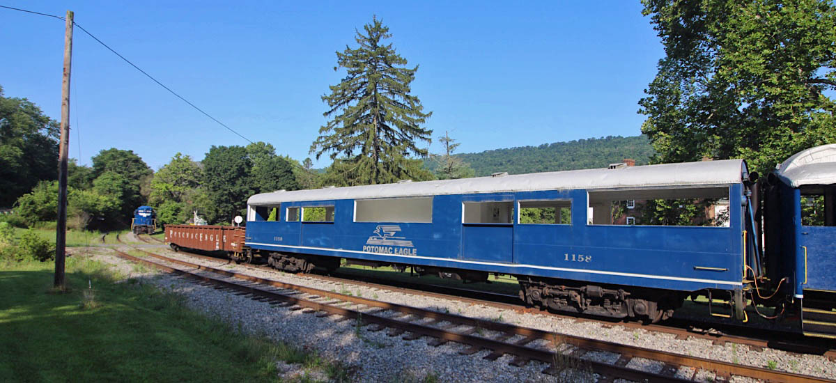
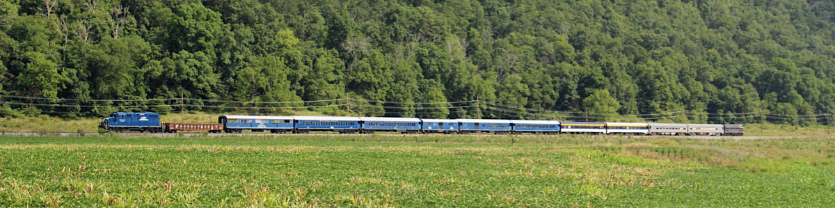
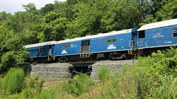
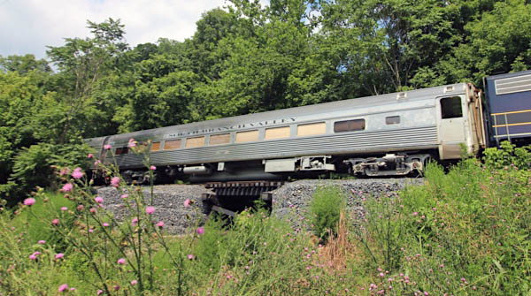
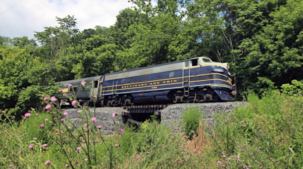
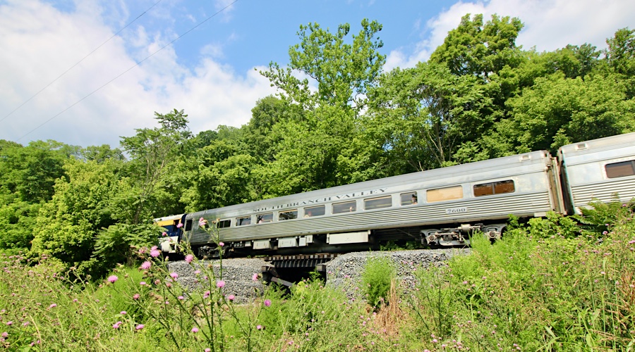
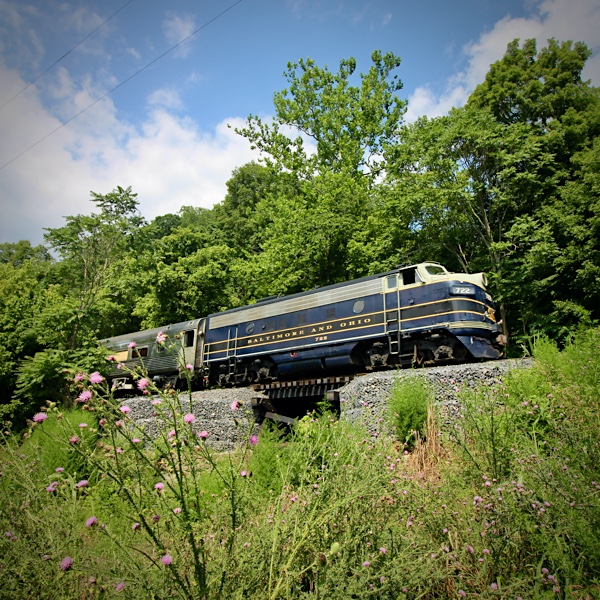
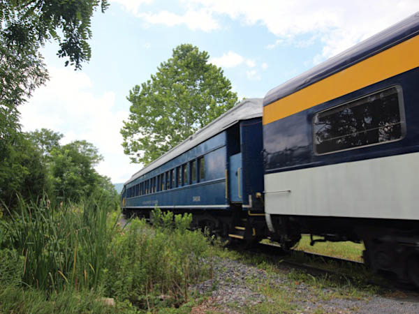
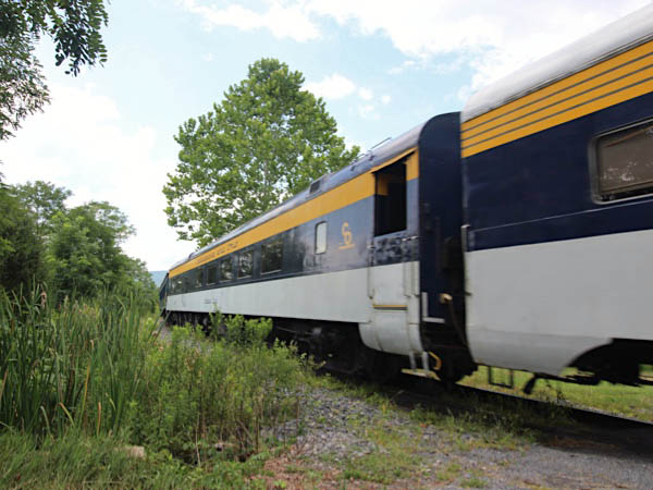
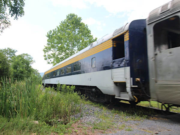
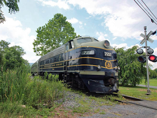
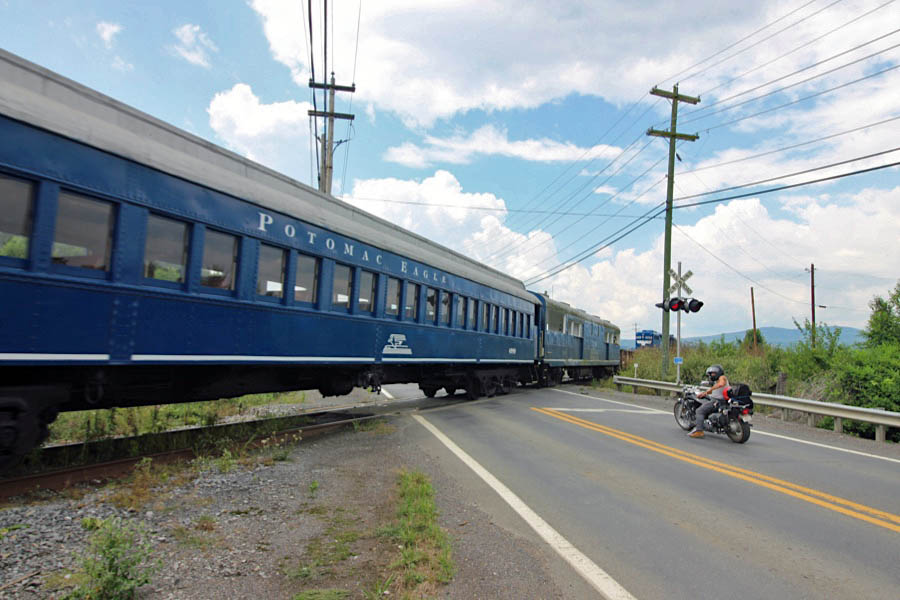
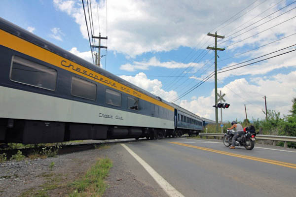
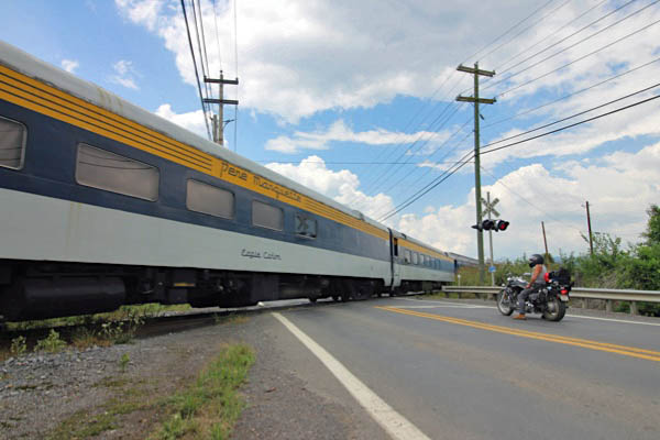
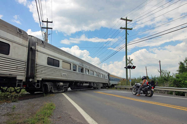
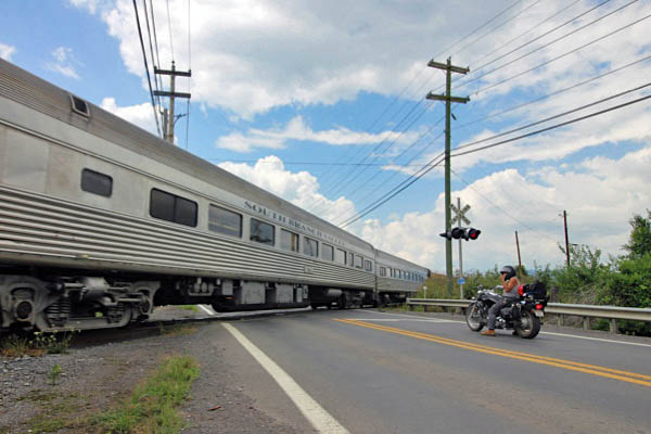
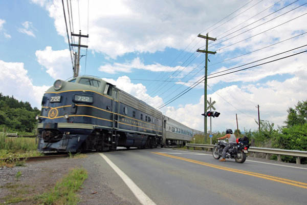
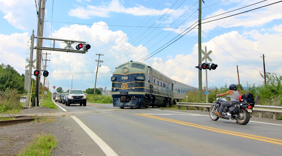
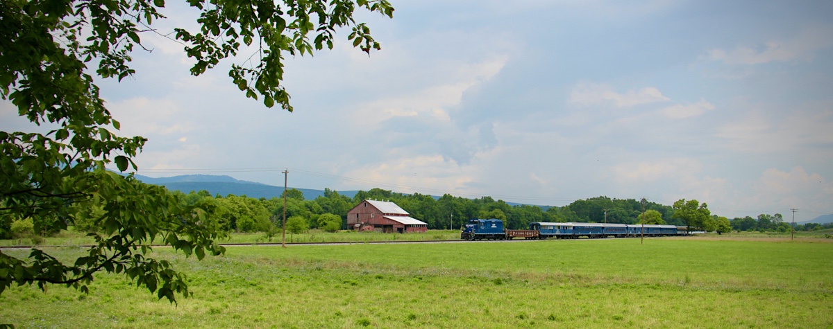
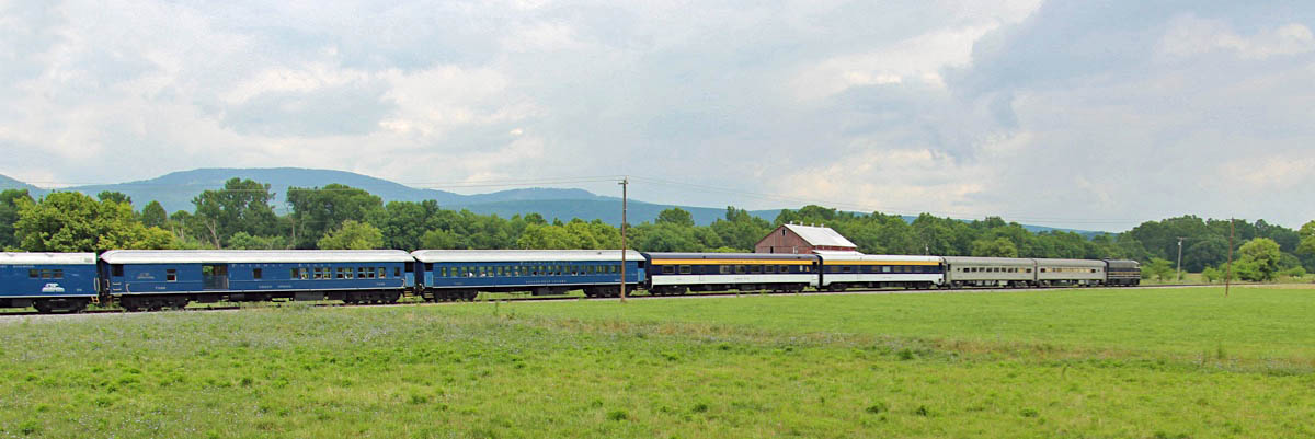
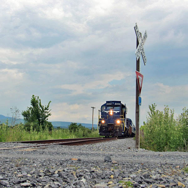
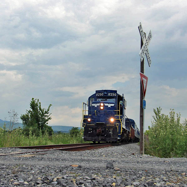
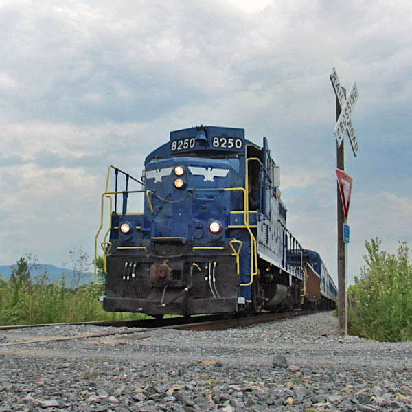
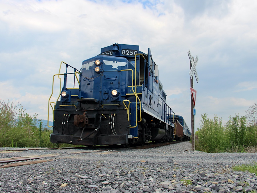
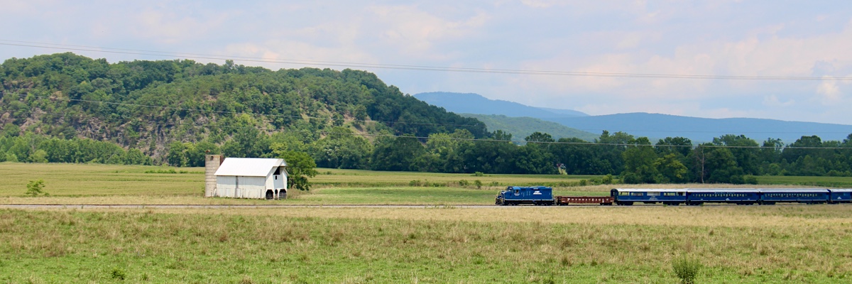
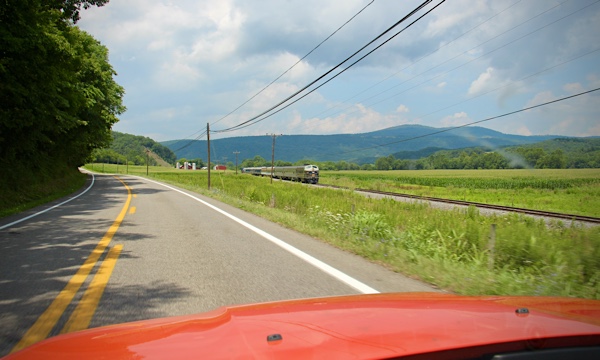
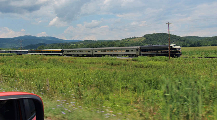
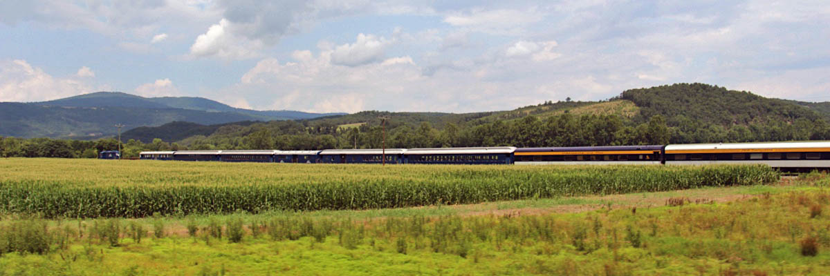
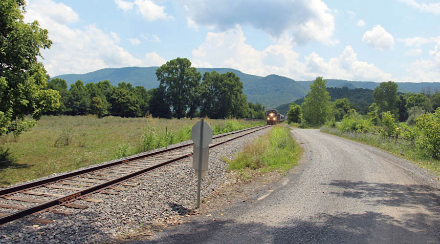
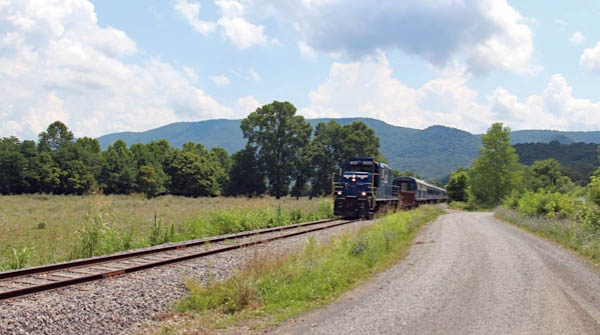
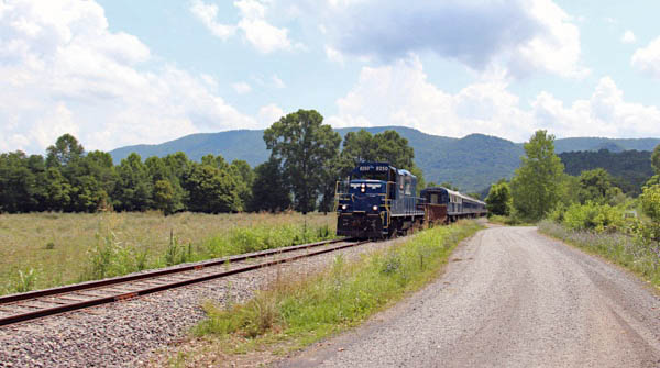
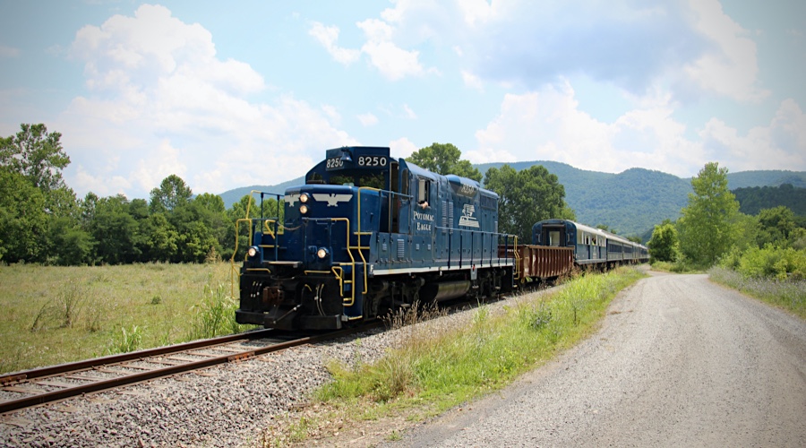
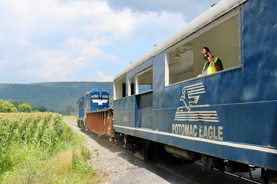
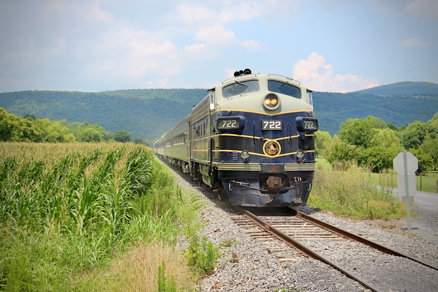
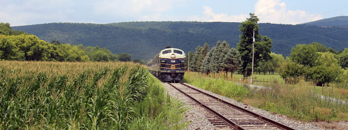
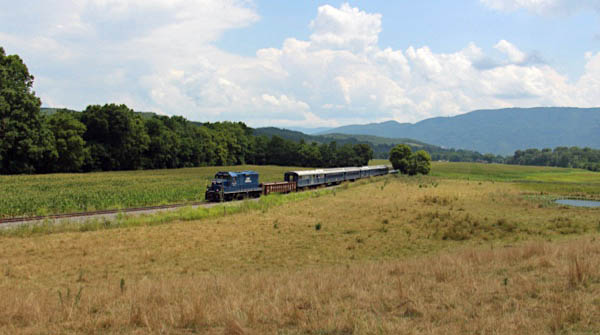
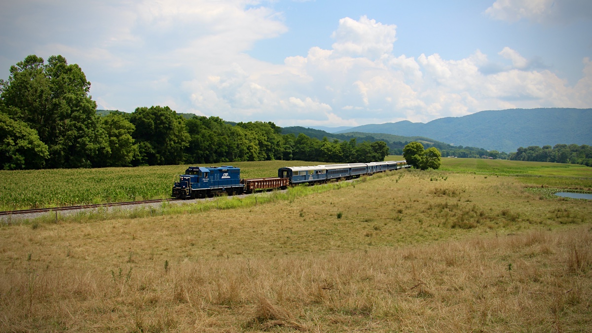
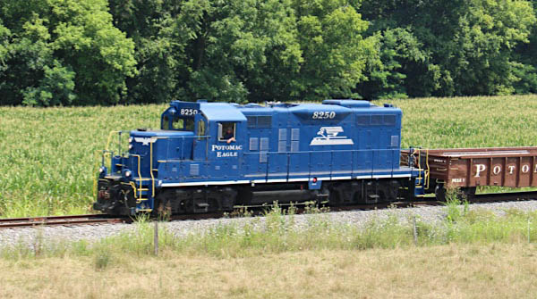
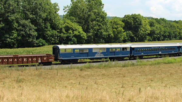
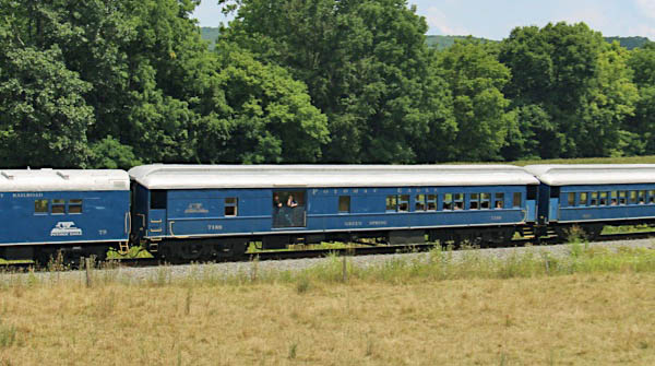
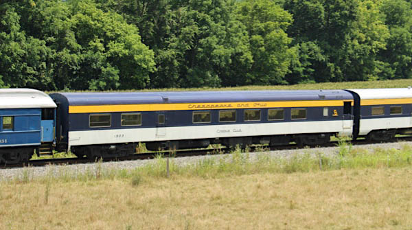
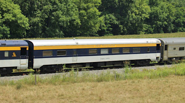
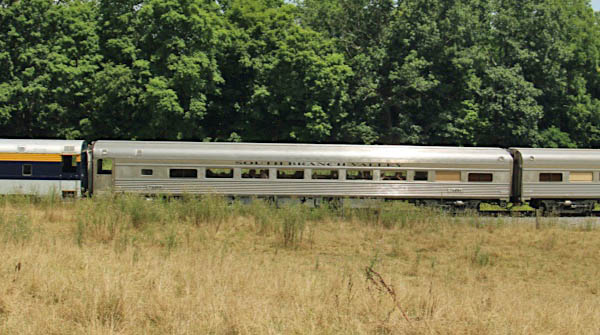
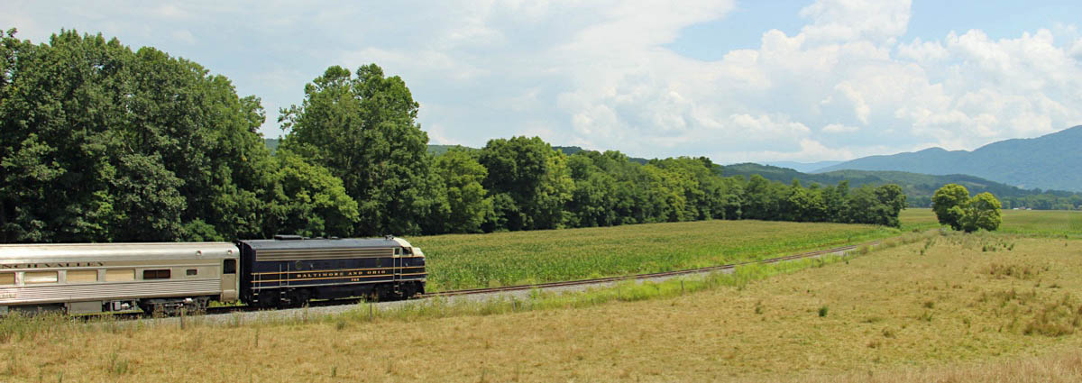
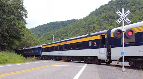
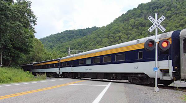
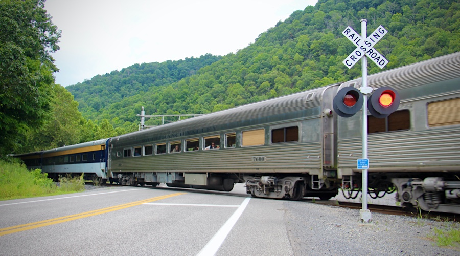
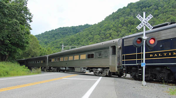
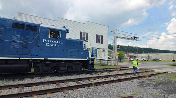
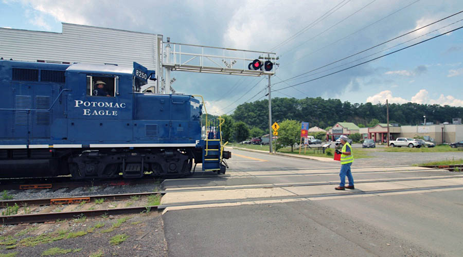
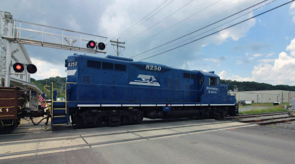
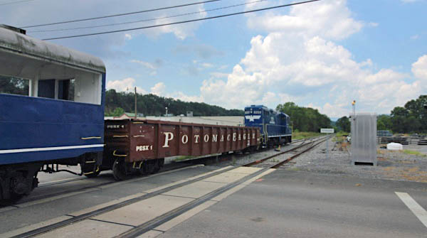
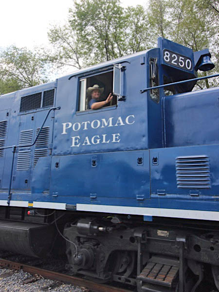
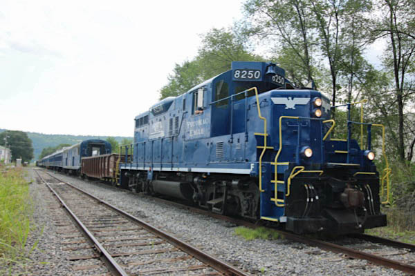
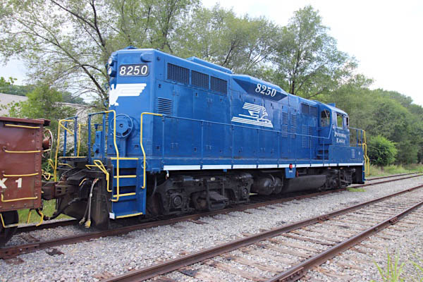
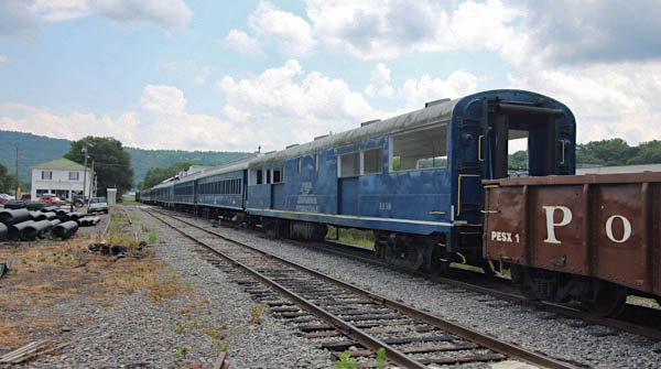
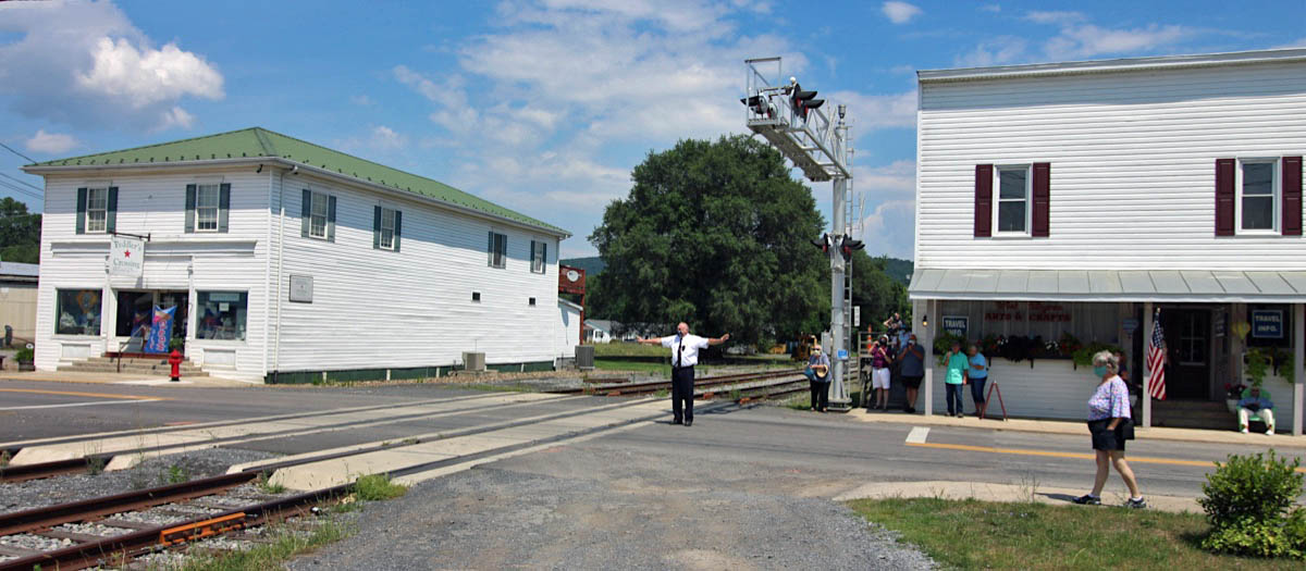
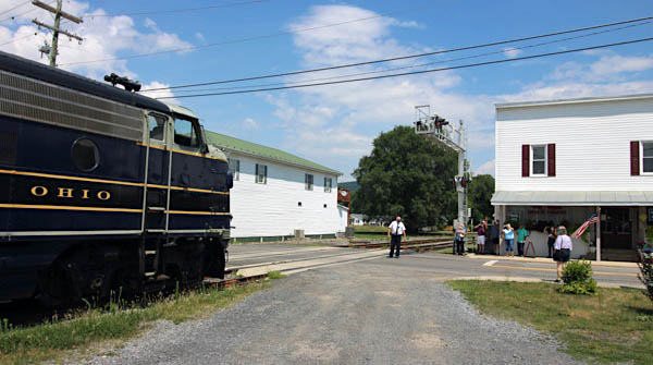
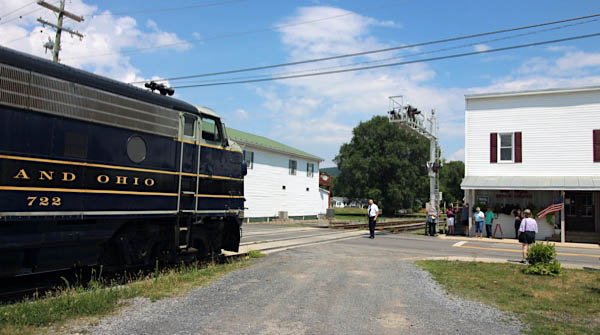
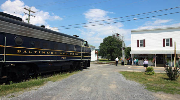
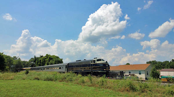
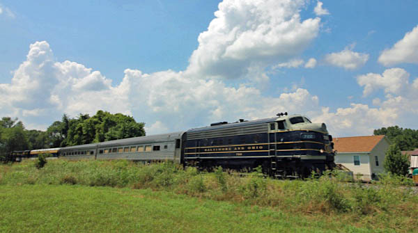
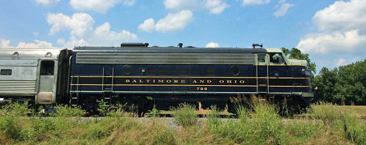
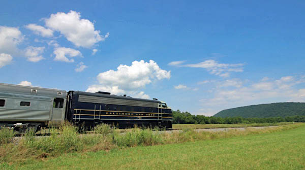
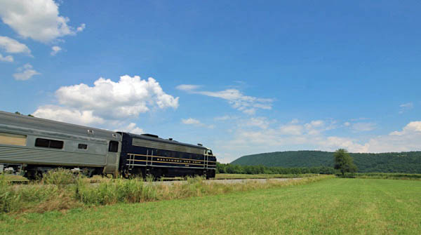
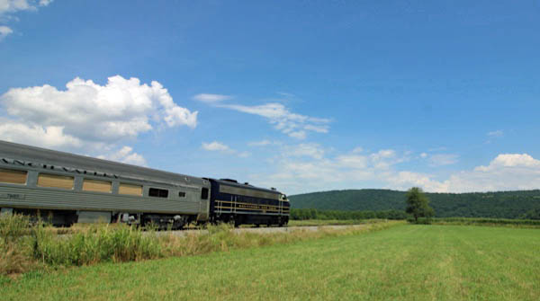
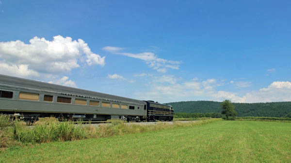
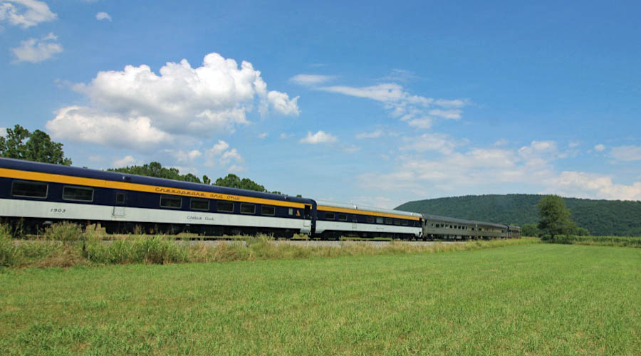
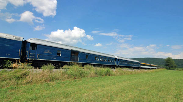
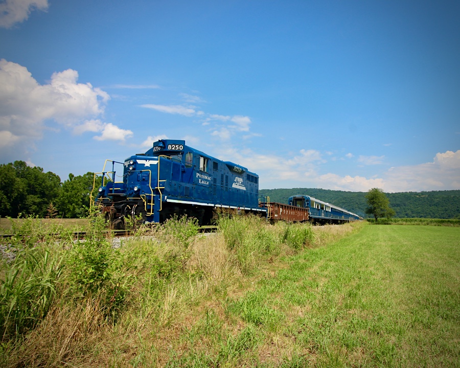
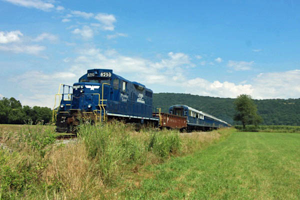
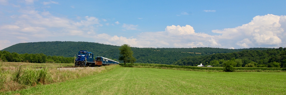
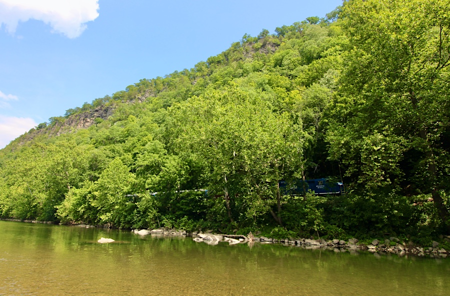
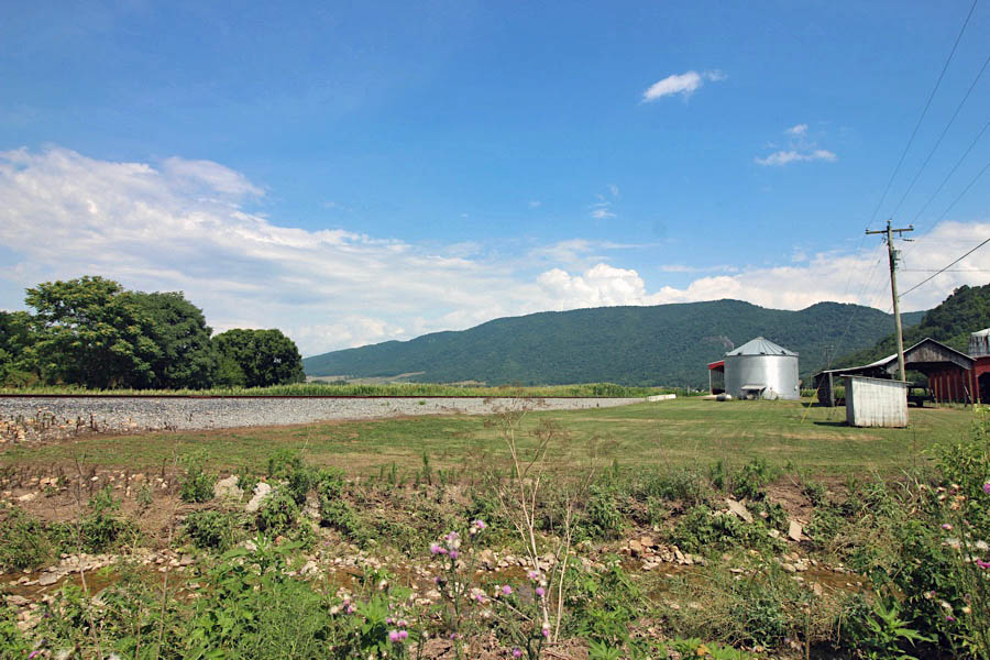
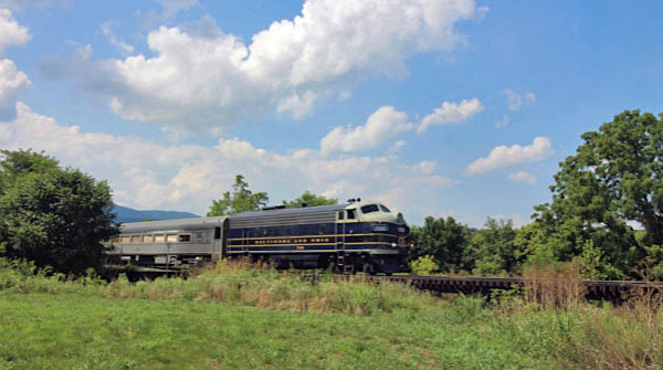
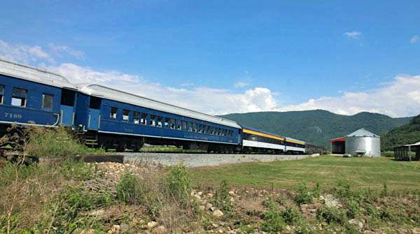
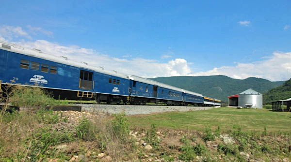
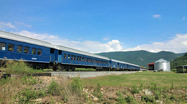
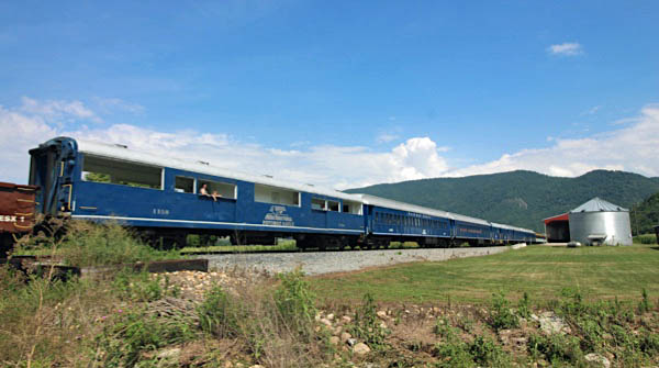
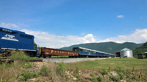
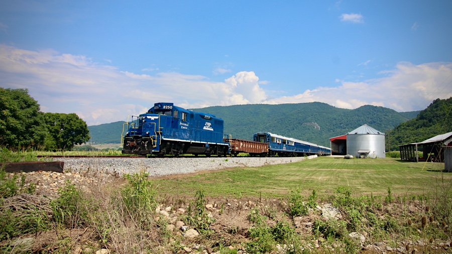
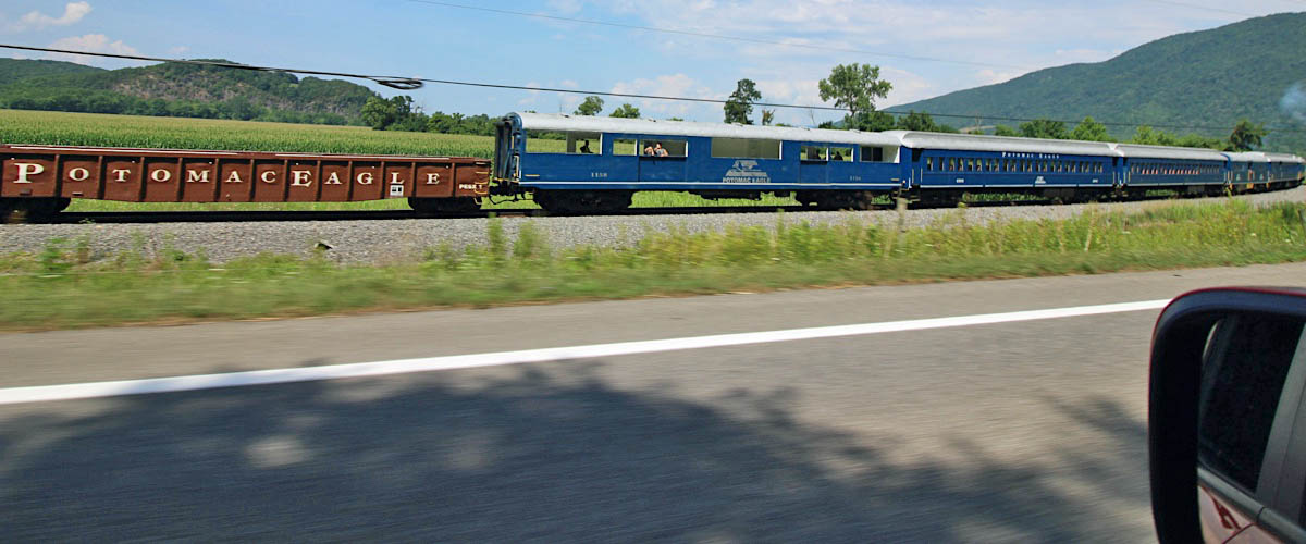
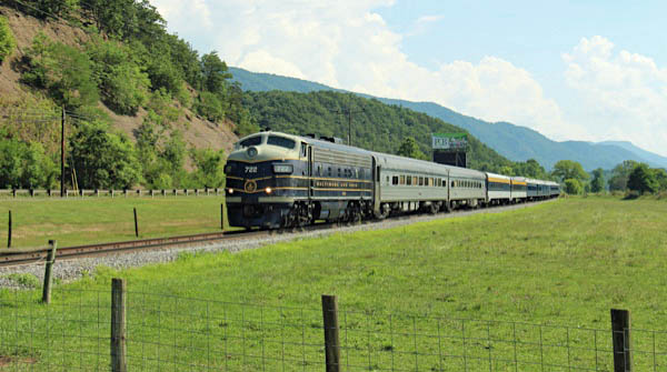
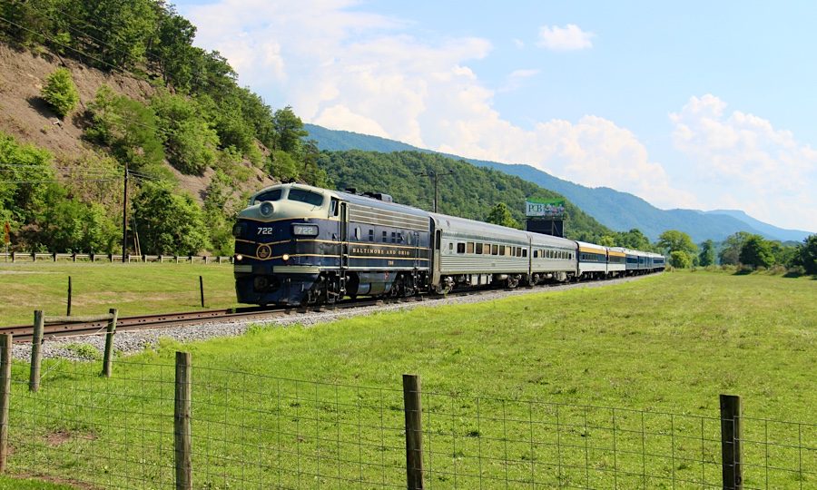
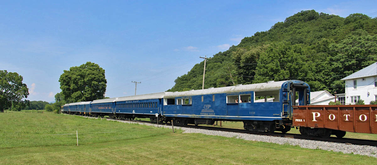
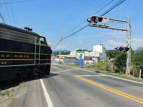
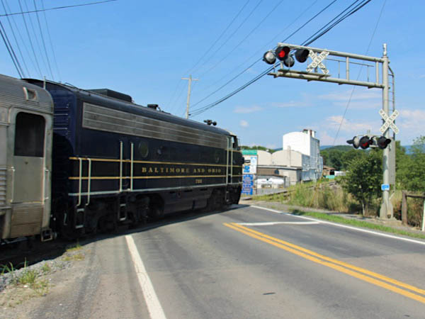
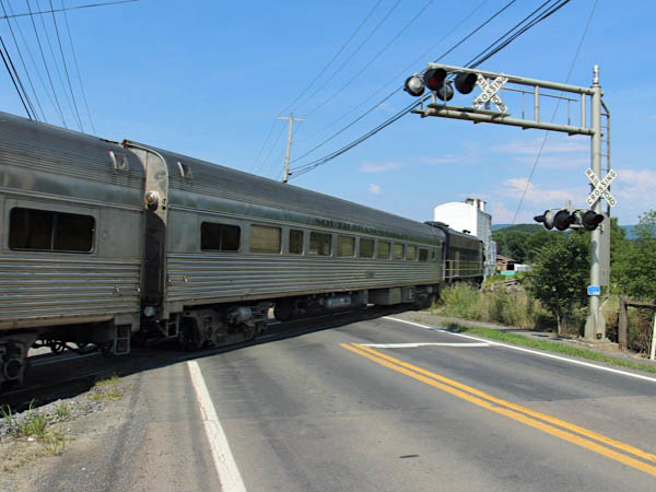
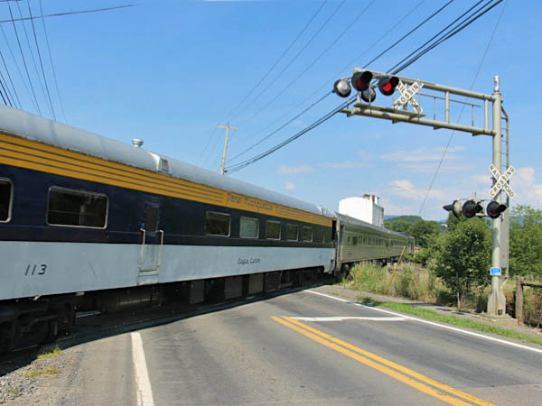
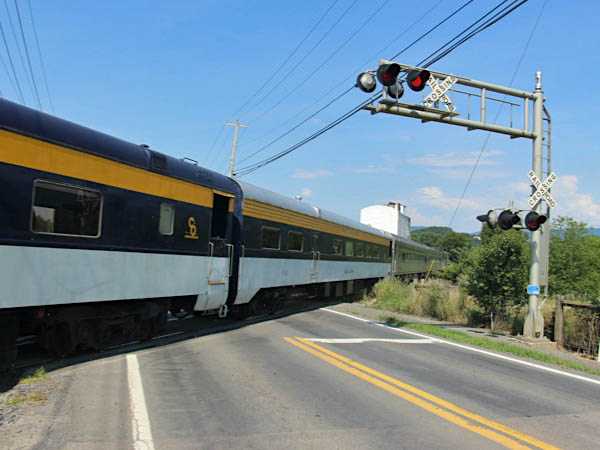
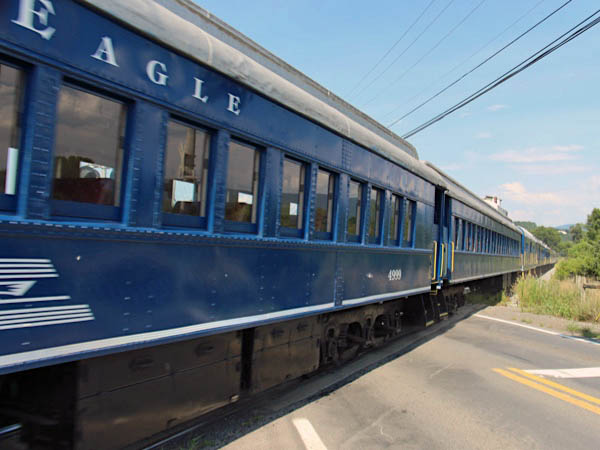
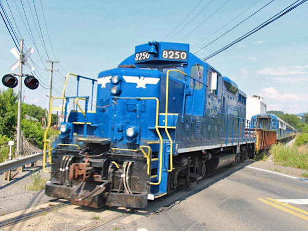
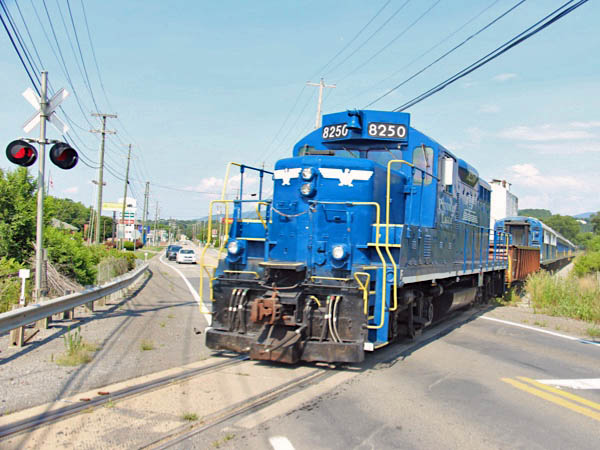
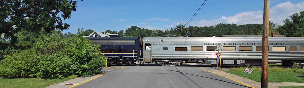
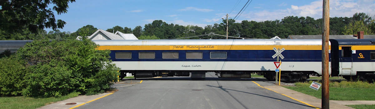
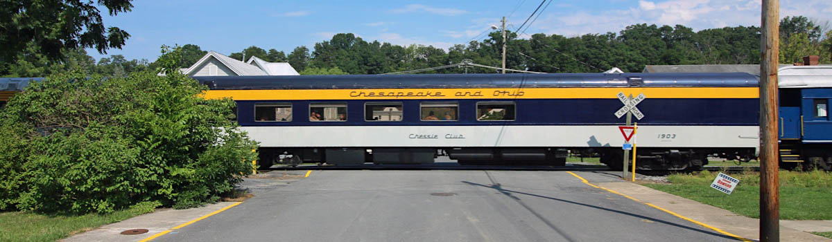
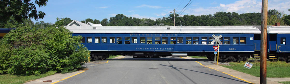
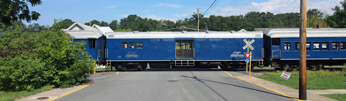
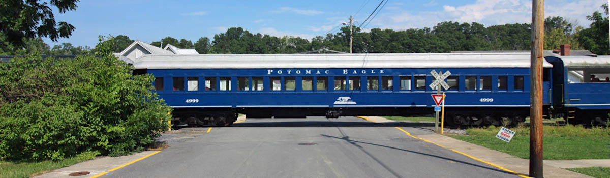
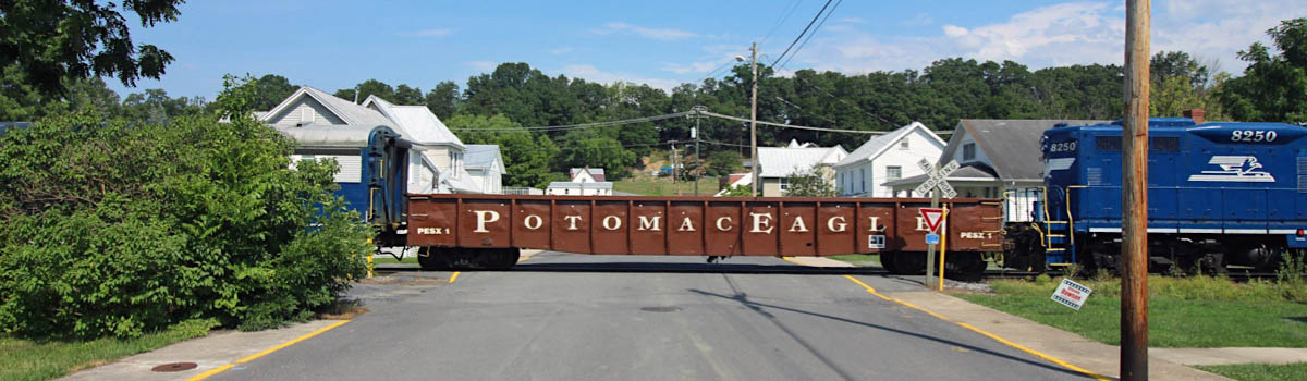
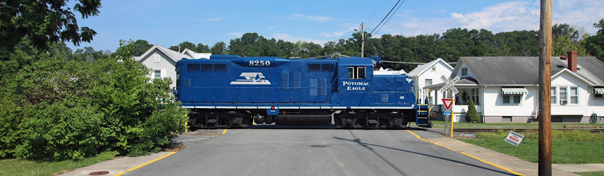
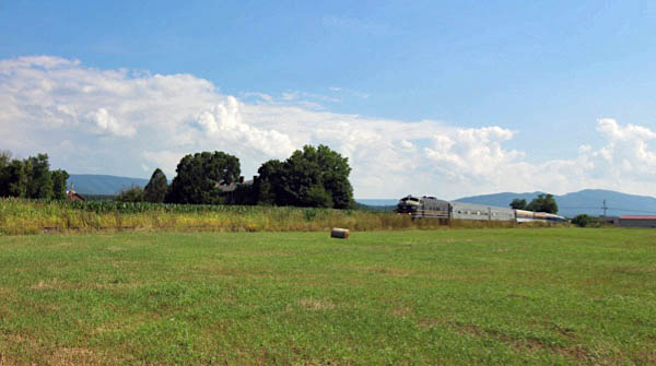
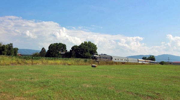
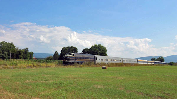
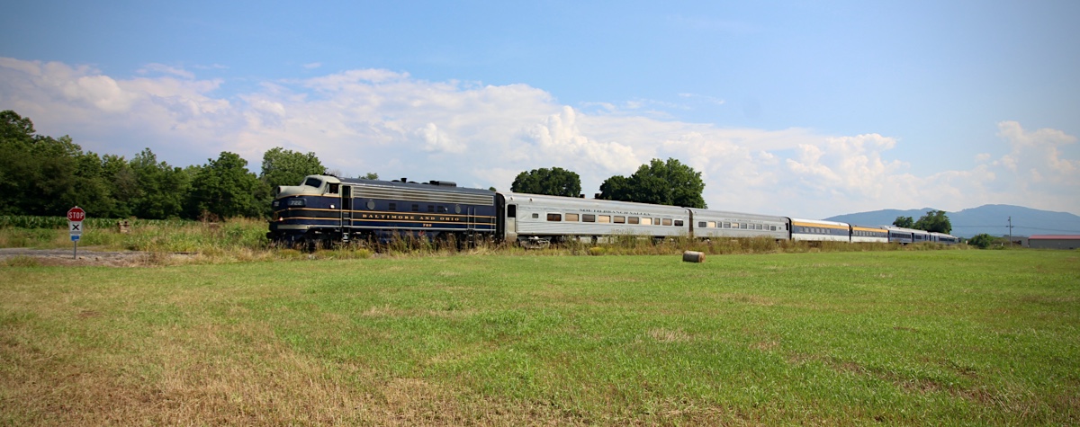
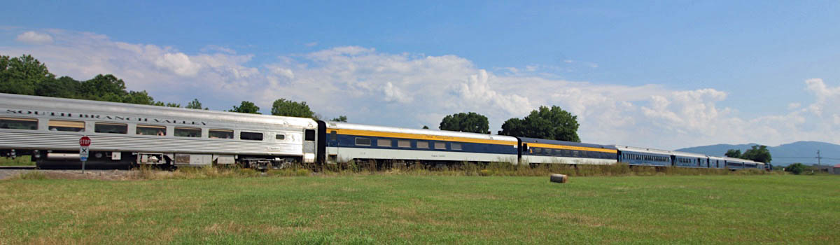
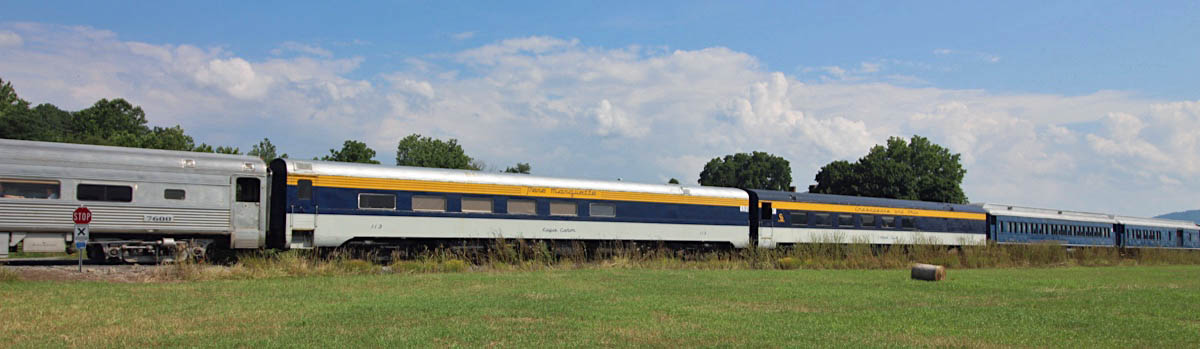
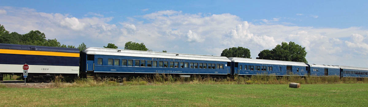
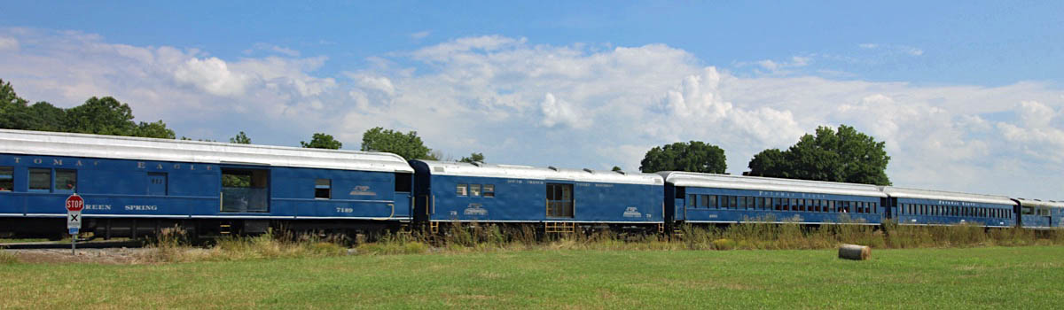
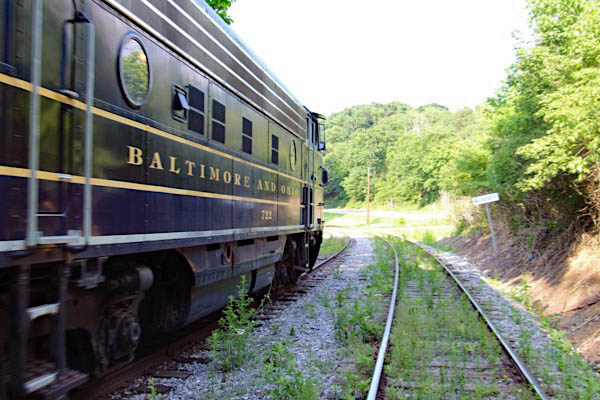
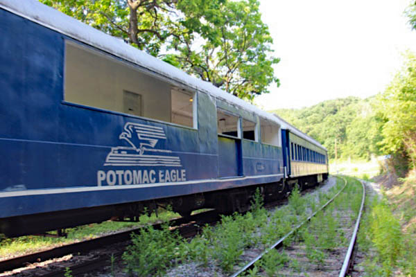
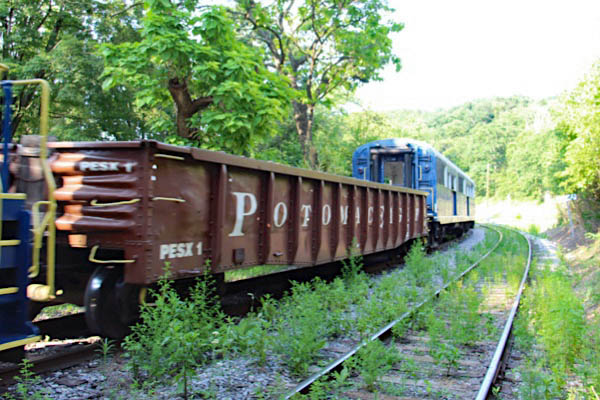
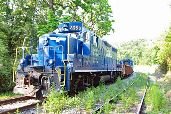
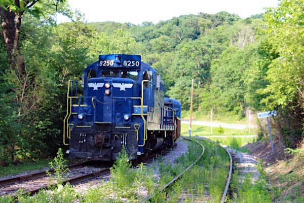
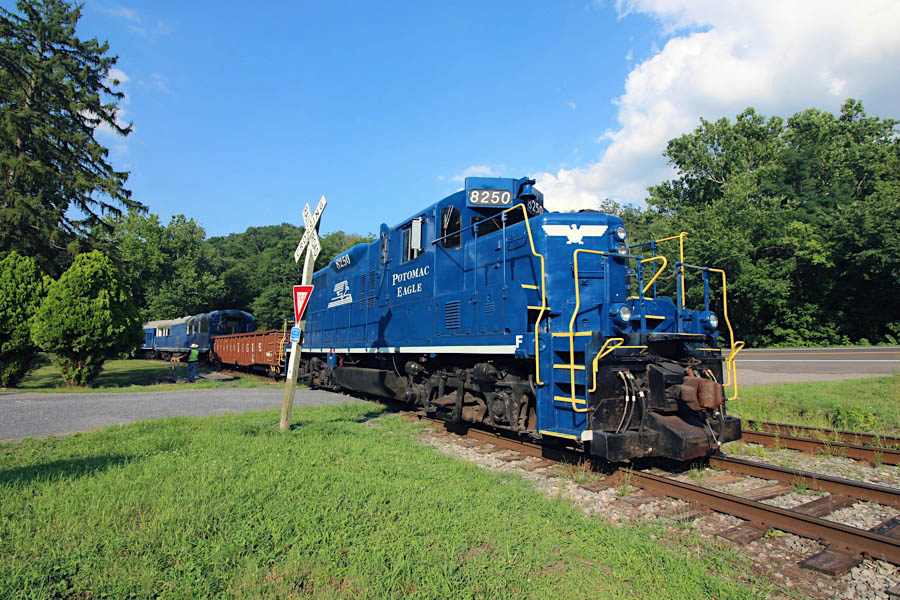
Potomac Eagle Scenic Railroad Petersburg Chase |
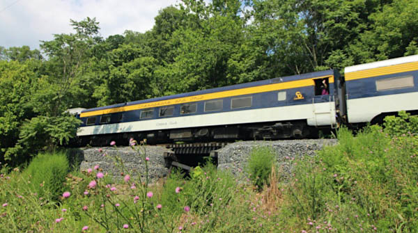
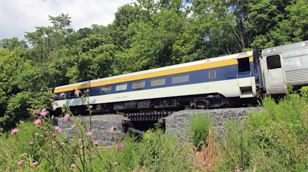
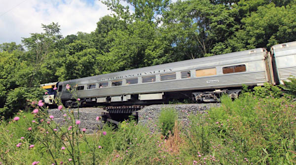
Petersburg, WV / Jul 2020 / RWH

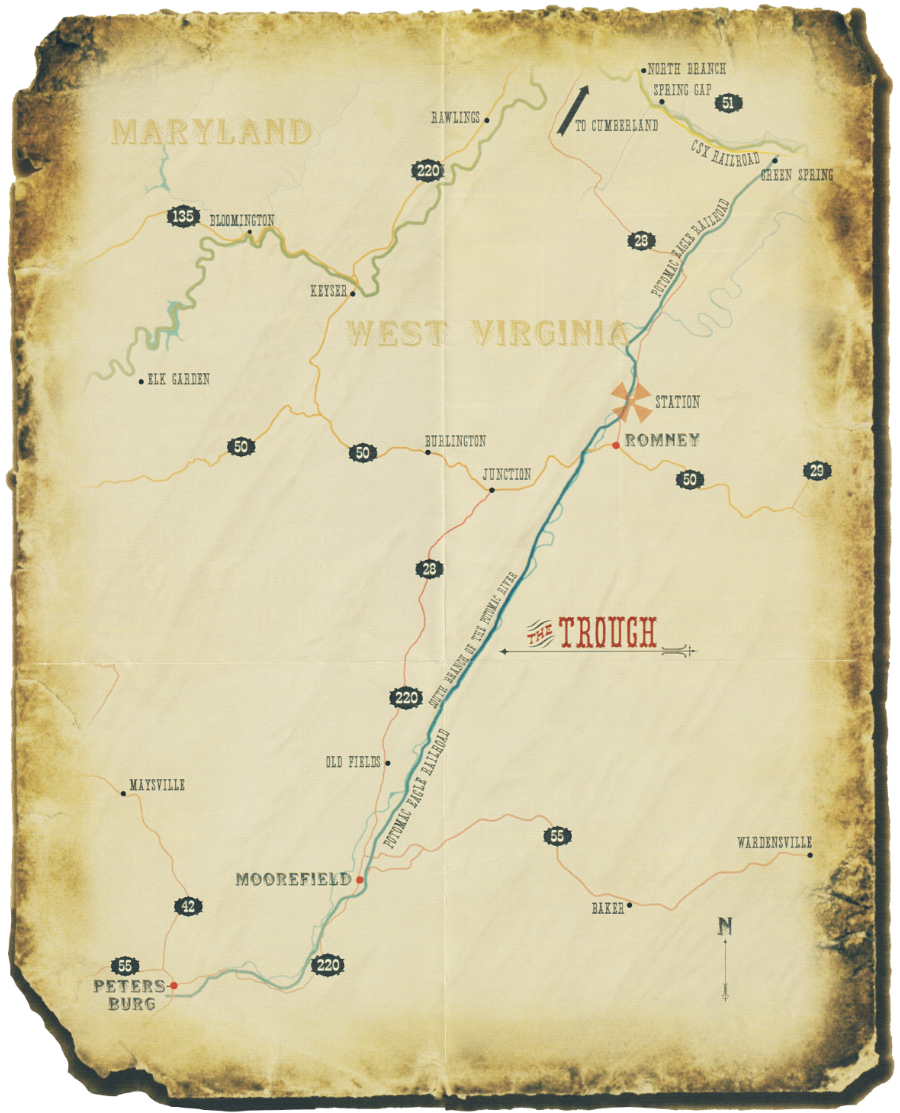
All-Day Trip to Petersburg
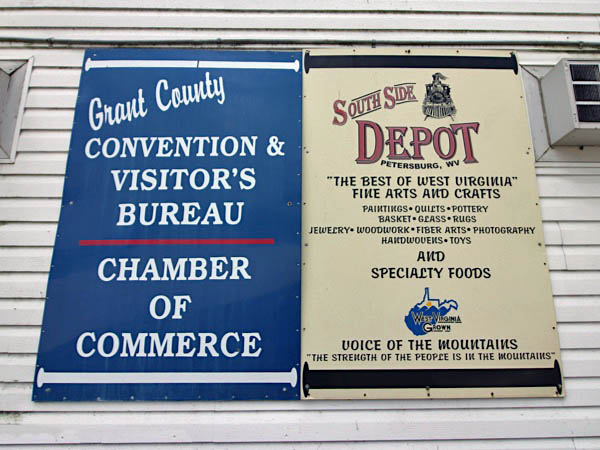
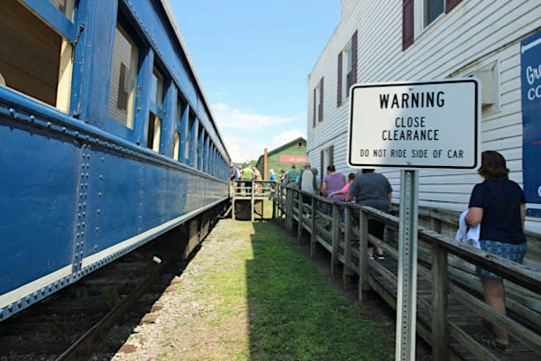
On the last Saturday of the month (May – September), we offer an 8-hour trip to Petersburg. This is a longer version of the Trough Trip; it goes further south, to the end of the line, through Moorefield and into Petersburg. It is approximately 76 miles round-trip. There is a layover in Petersburg, about 1 1/2 to 2 hours long. Passengers have time to enjoy the South Side Depot as well as shops and restaurants.
PESX brochure map / collection

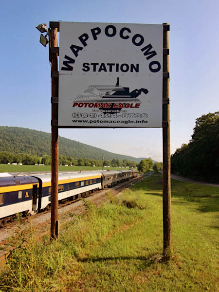
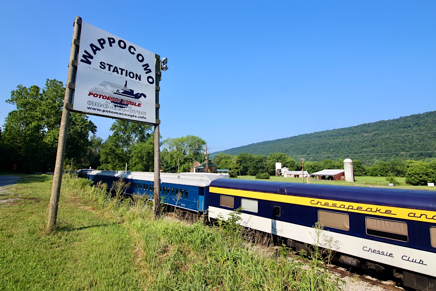
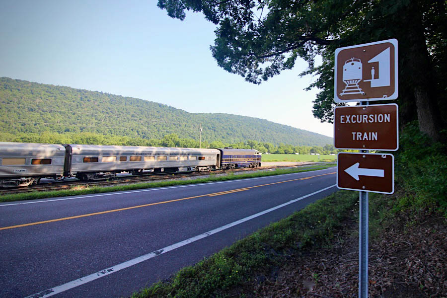
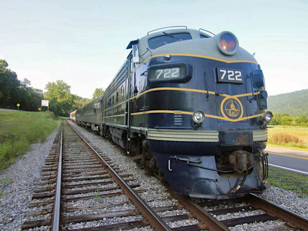
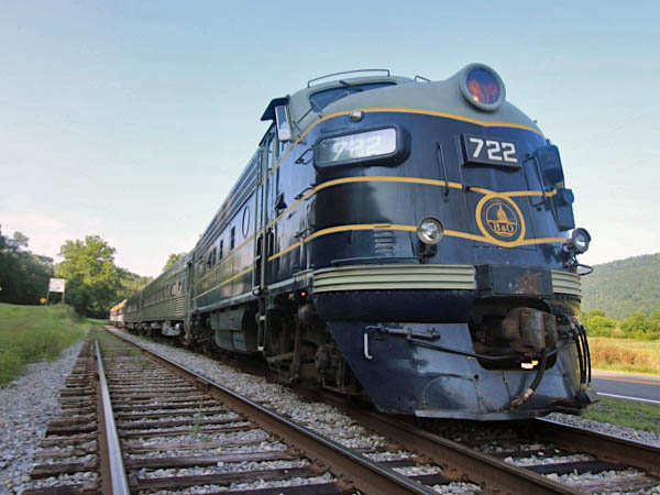
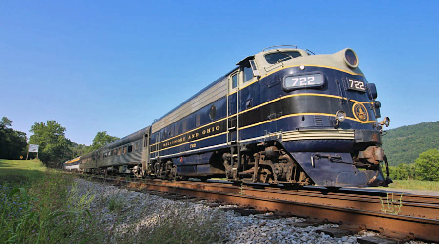
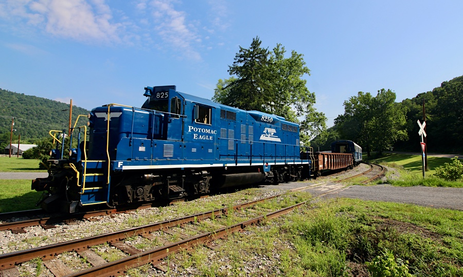
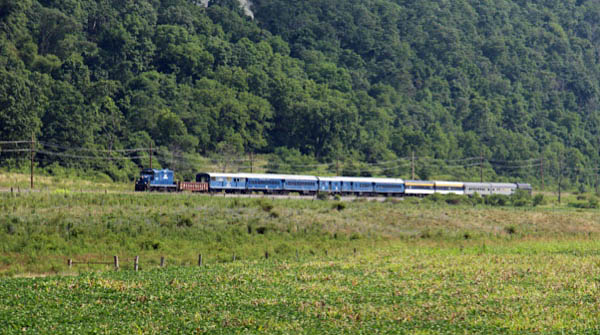
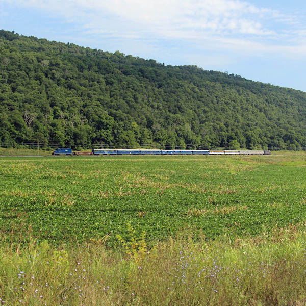
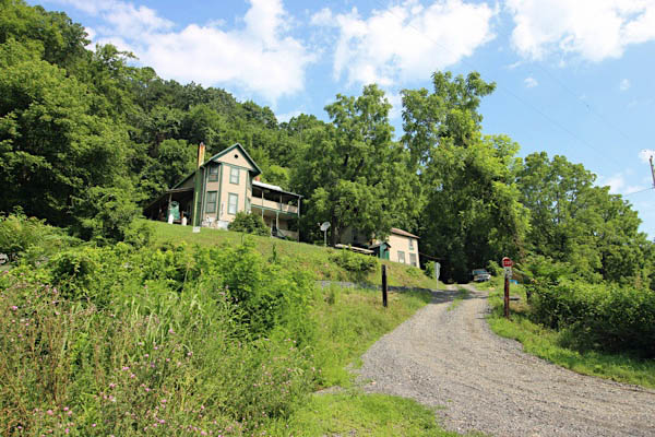
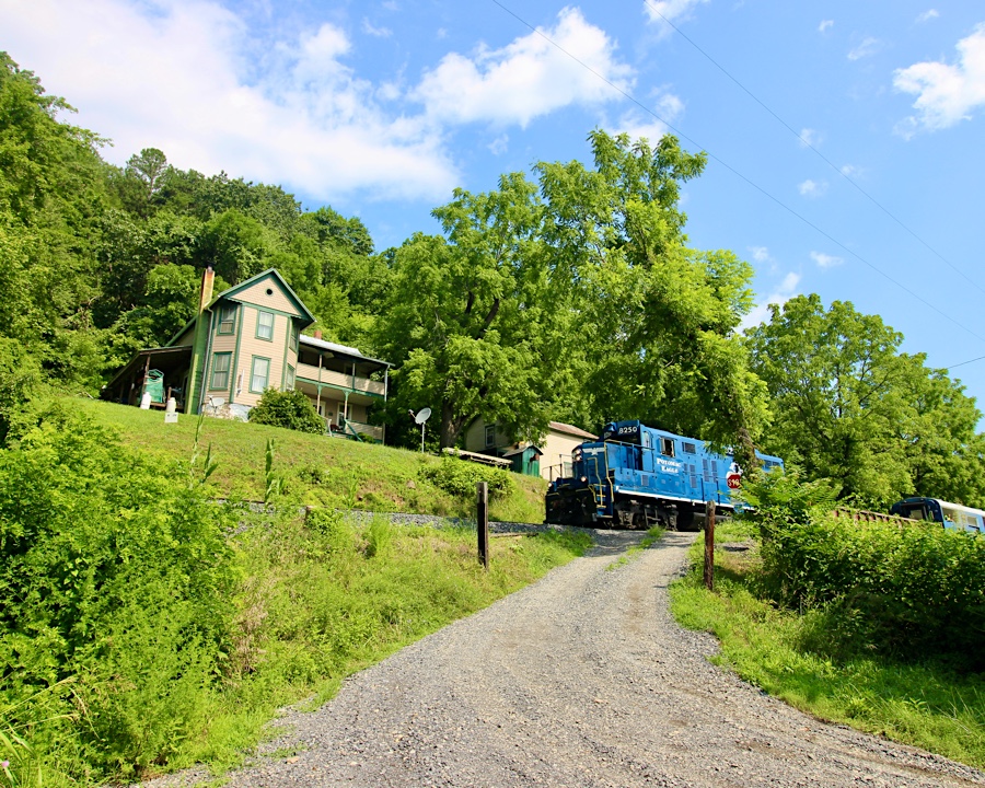
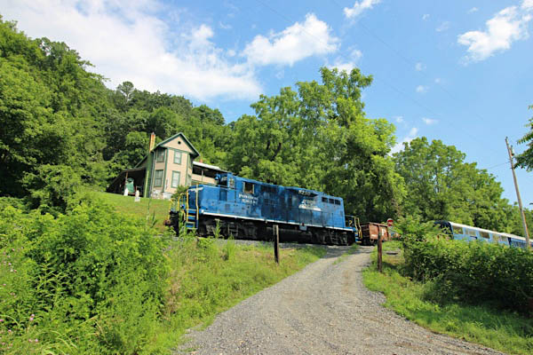
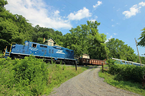
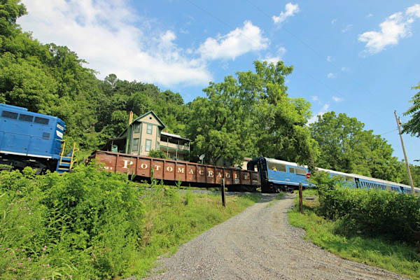
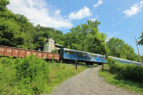
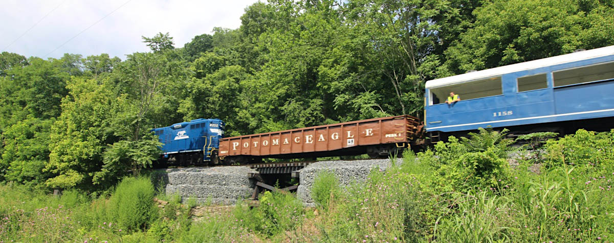
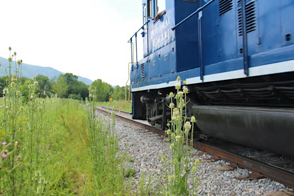
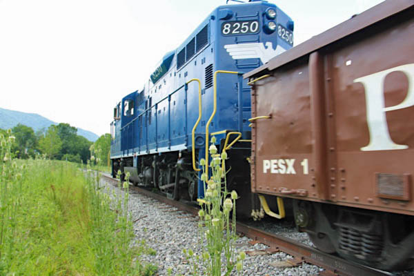
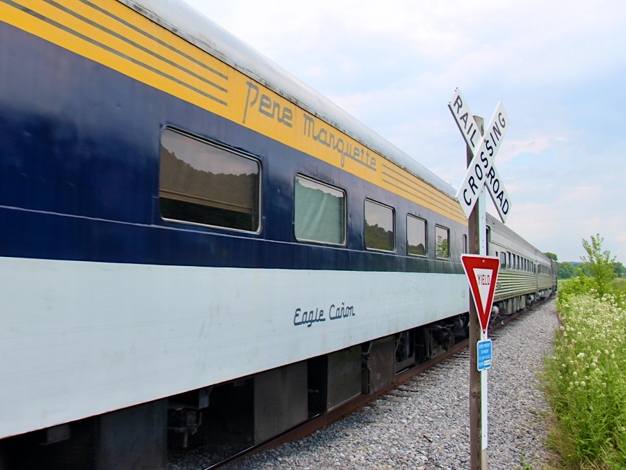
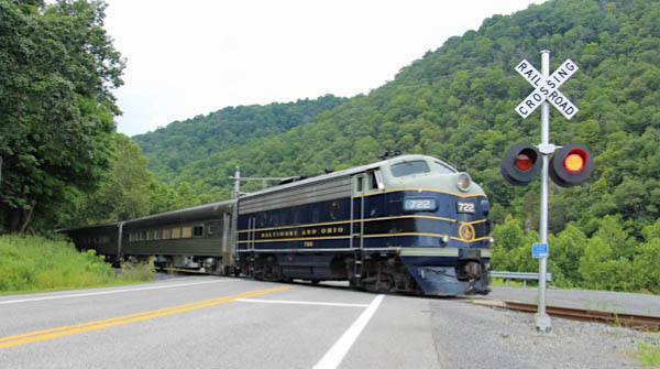
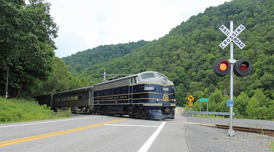
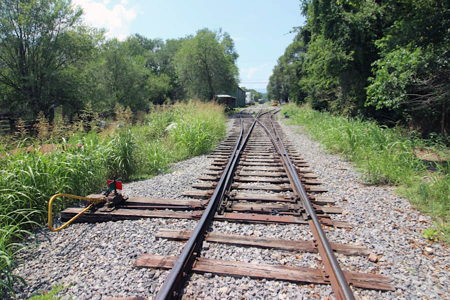
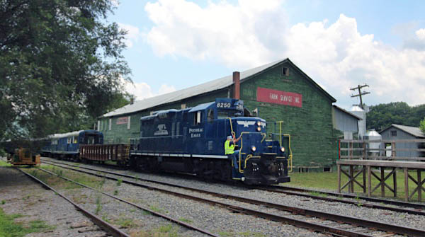
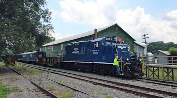
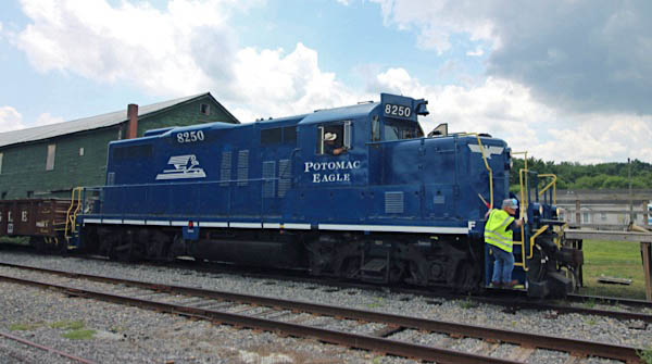
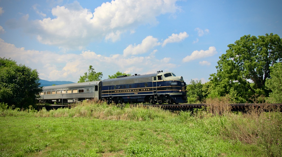
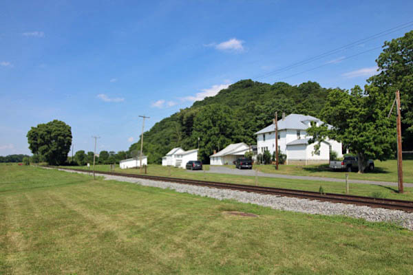
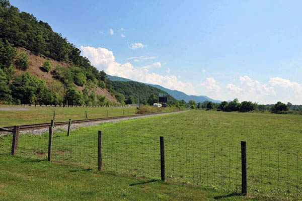
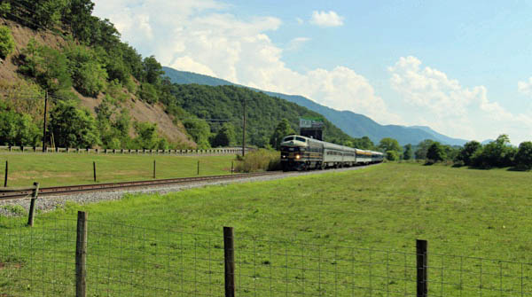
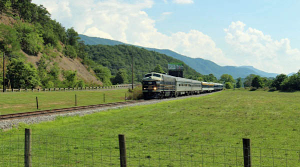
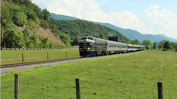
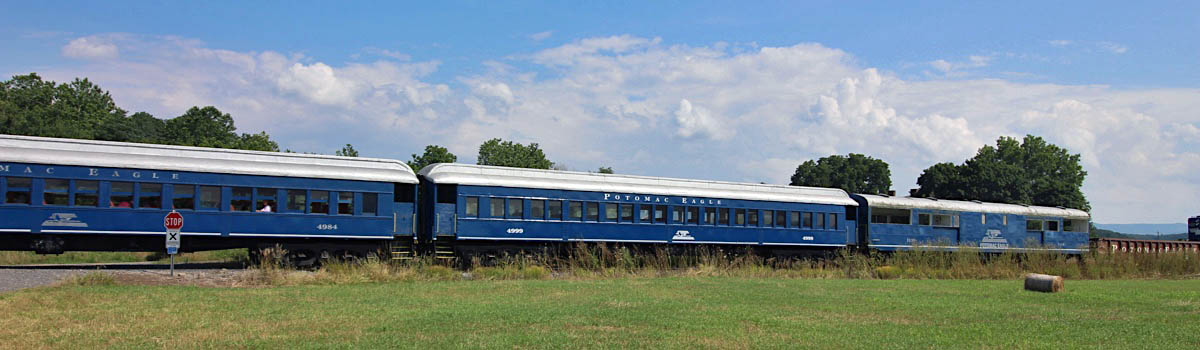
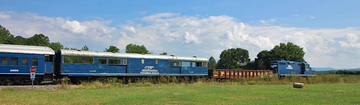
 Wappocomo
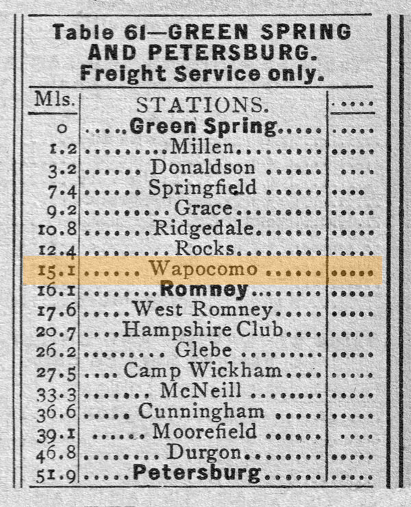
1955 Official Guide table / collection
Jul 2020 / RWH
Wappocomo, WV / Jul 2020 / RWH
Wappocomo, WV / Jul 2020 / RWH
Wappocomo Station overhead / Google Maps

Click to see the Wappocomo Station area plotted on a Google Maps page
Wappocomo, WV / Jul 2020 / RWH
Wappocomo, WV / Jul 2020 / RWH
Wappocomo, WV / Jul 2020 / RWH
Wappocomo, WV / Jul 2020 / RWH
Wappocomo, WV / Jul 2020 / RWH
Wappocomo, WV / Jul 2020 / RWH
Wappocomo, WV / Jul 2020 / RWH
Wappocomo, WV / Jul 2020 / RWH
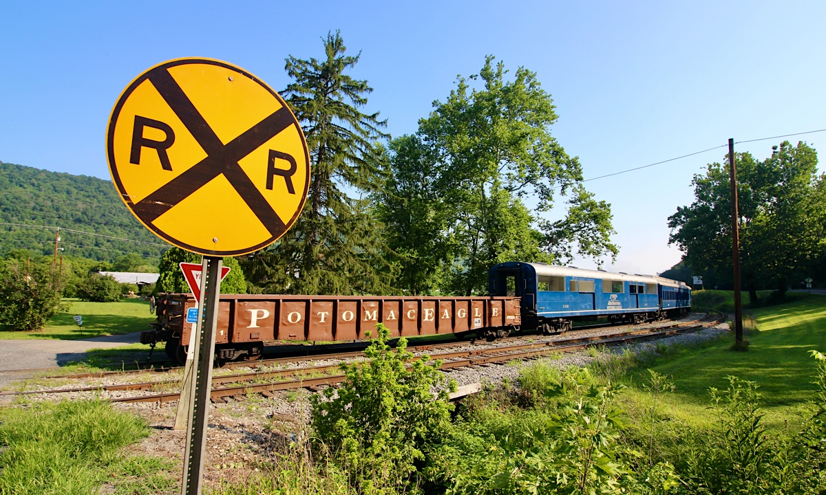
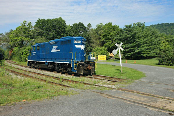
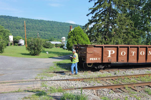
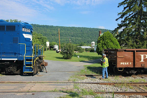
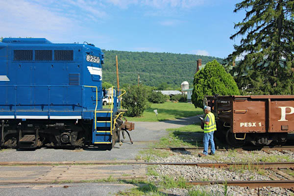
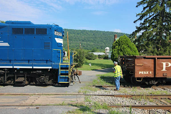
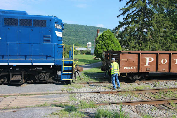
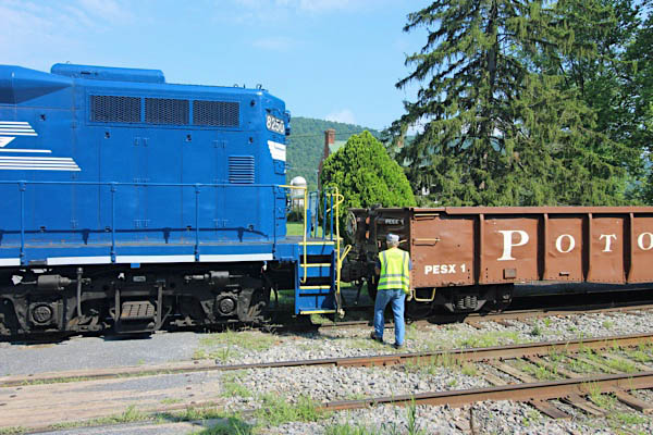
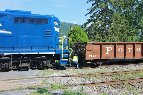
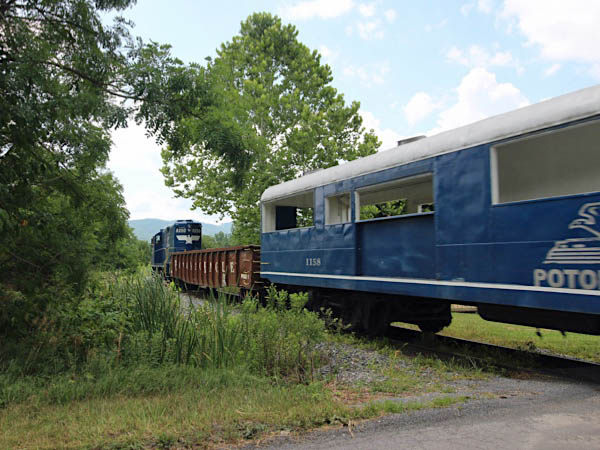
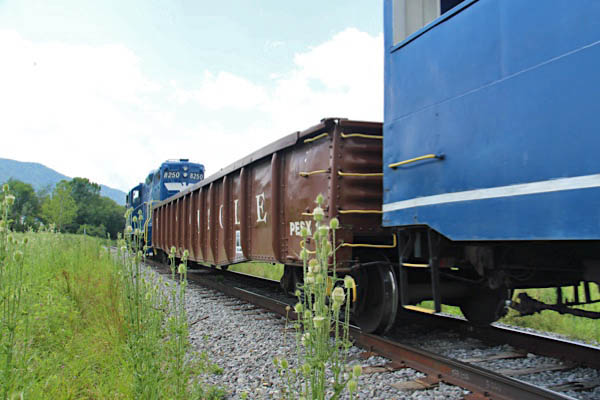
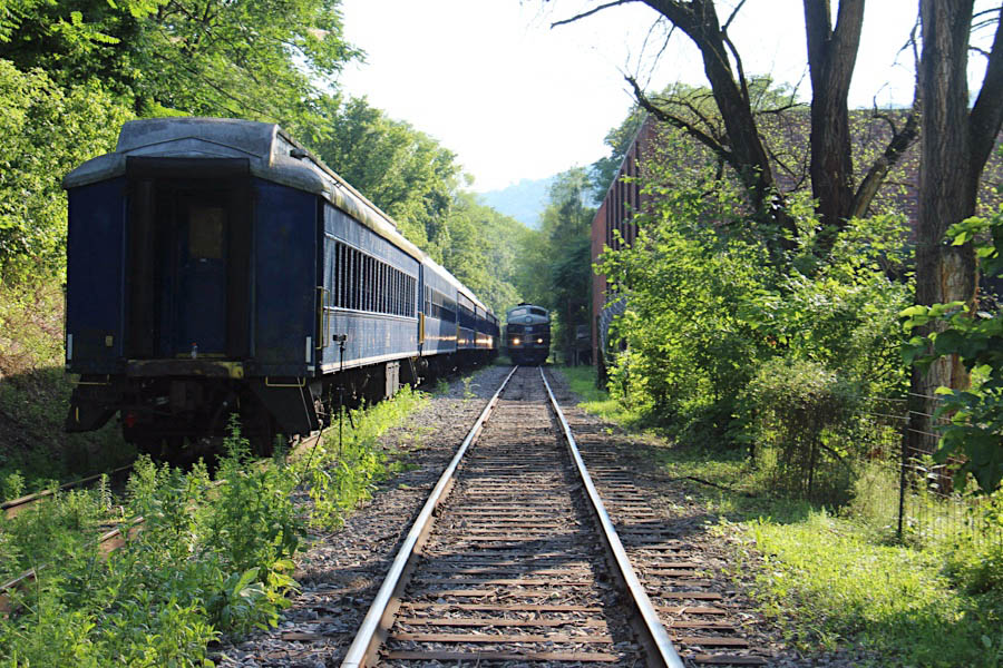
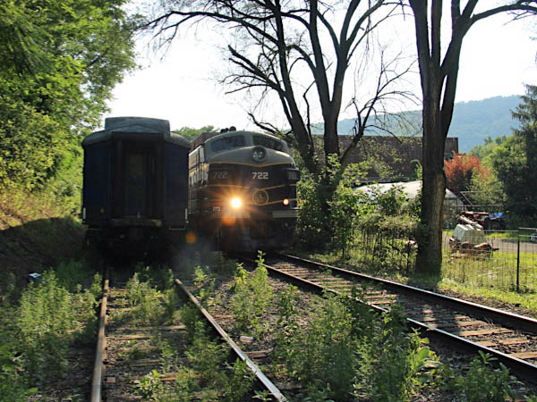
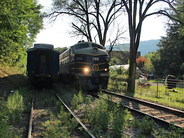
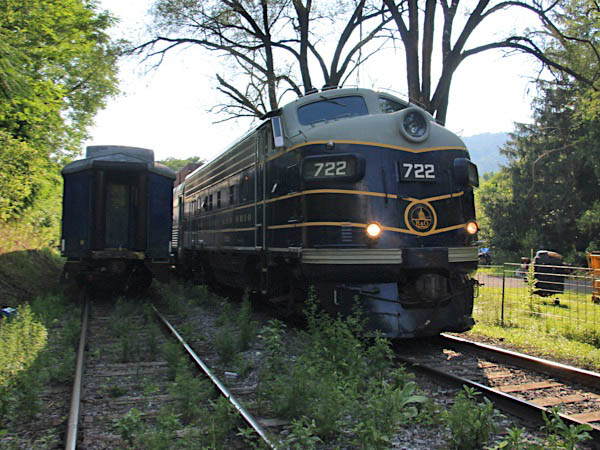
Coupling Up
Wappocomo, WV / Jul 2020 / RWH
Jul 2020 / RWH
Wappocomo, WV / Jul 2020 / RWH
Wappocomo, WV / Jul 2020 / RWH
Wappocomo, WV / Jul 2020 / RWH
Jul 2020 / RWH
Wappocomo, WV / Jul 2020 / RWH
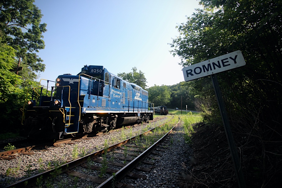
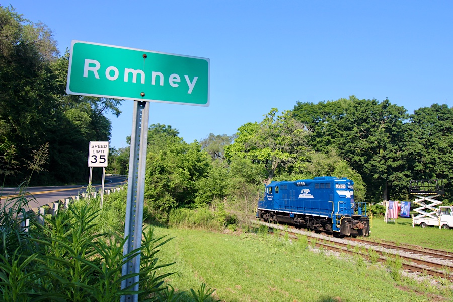
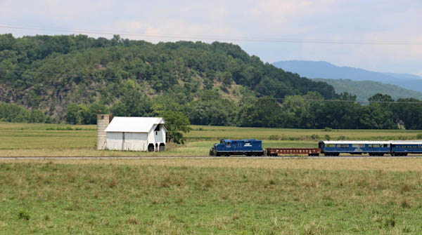
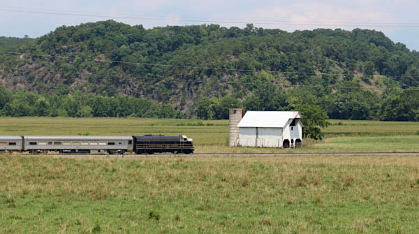
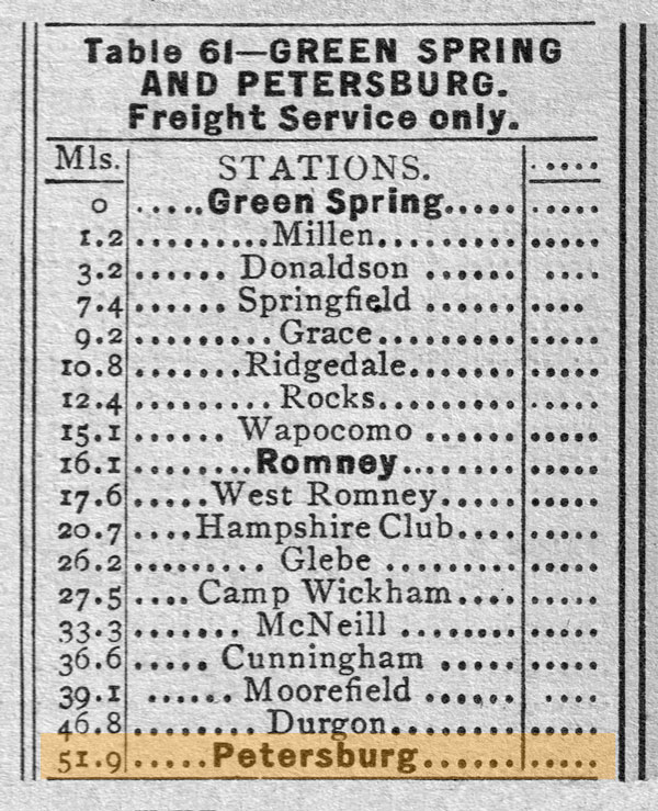
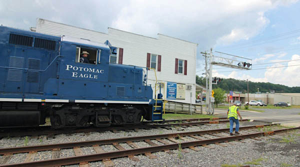
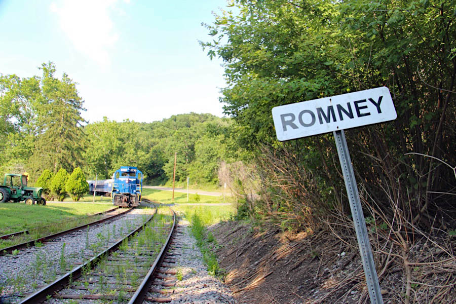
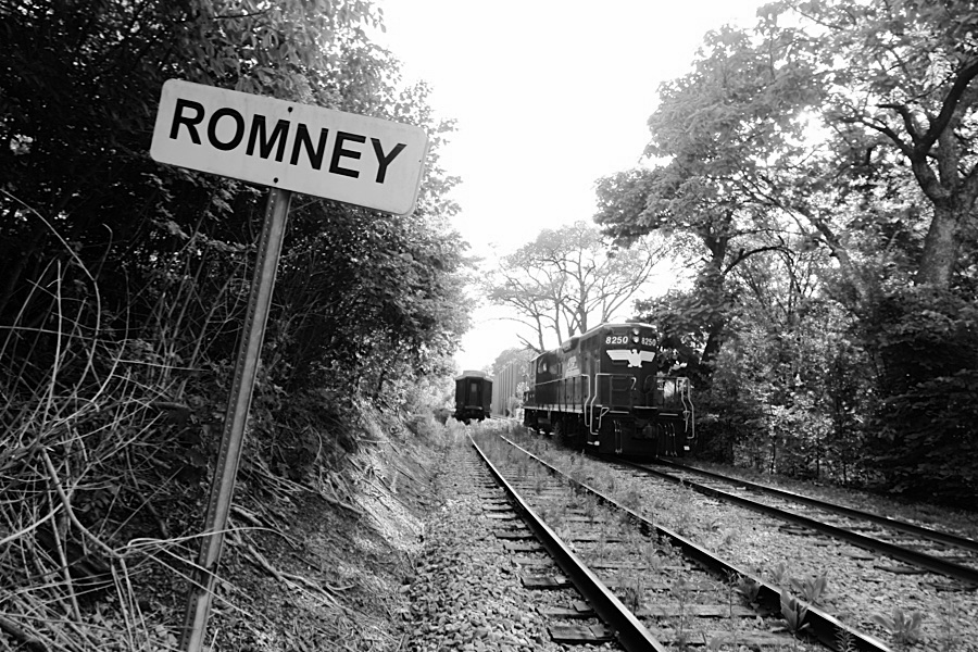
 Romney

1955 Official Guide table / collection
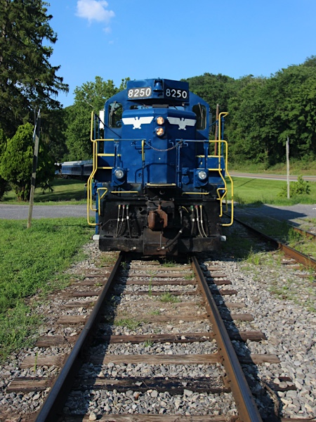
Romney, WV / Jul 2020 / RWH
Romney, WV / Jul 2020 / RWH
Click to see this location plotted on a Google Maps page
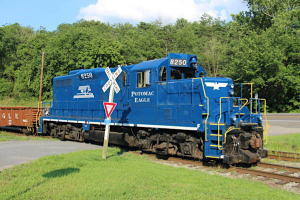
Romney, WV / Jul 2020 / RWH
Romney, WV / Jul 2020 / RWH
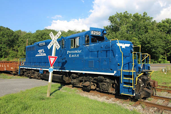
Romney, WV / Jul 2020 / RWH
Romney, WV / Jul 2020 / RWH
Romney, WV / Jul 2020 / RWH
Romney, WV / Jul 2020 / RWH
Romney, WV / Jul 2020 / RWH
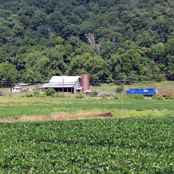
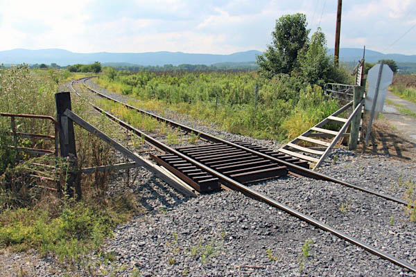
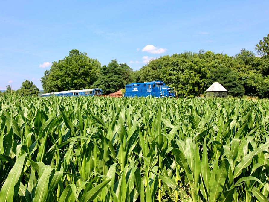
Pancake
Pancake, WV / Jul 2020 / RWH
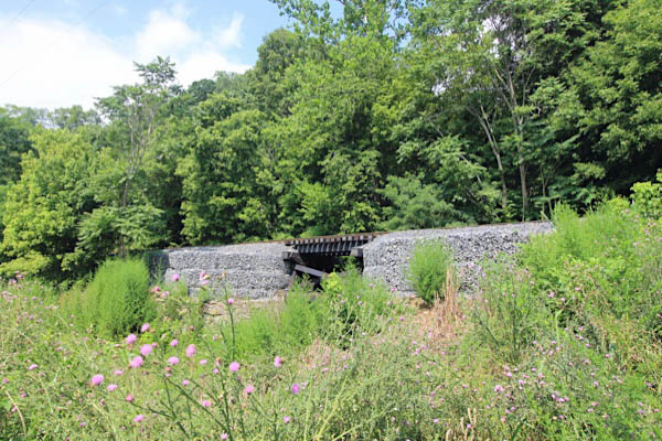
Pancake, WV / Jul 2020 / RWH
Pancake is an unincorporated community in Hampshire County in the state of West Virginia. Pancake is located on Pancake Road (County Route 8/2), once connecting to South Branch River Road (County Route 8) across the South Branch Potomac River. Pancake was once a stop along the South Branch Valley Railroad and is named for the Pancake family in the immediate area. The Pancake Post Office has been closed.
Click to see the Pancake Road crossing plotted on a Google Maps page
Pancake, WV / Jul 2020 / RWH
Pancake, WV / Jul 2020 / RWH
Pancake, WV / Jul 2020 / RWH
Pancake, WV / Jul 2020 / RWH
Pancake, WV / Jul 2020 / RWH
Jul 2020 / RWH
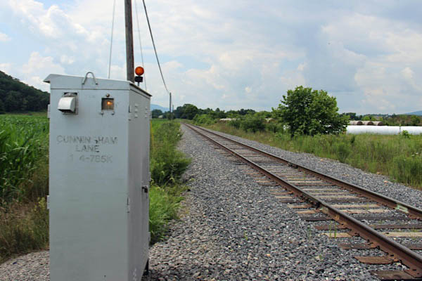
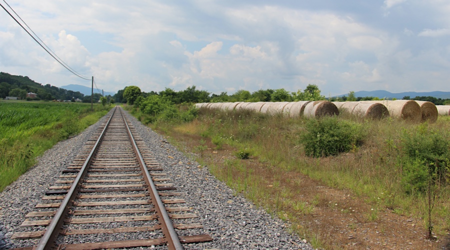
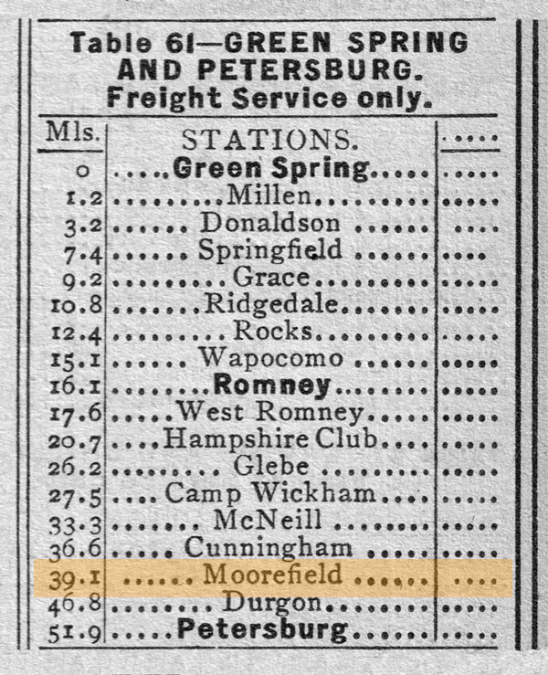
 Cunningham
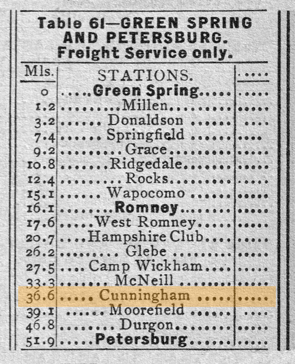
1955 Official Guide table / collection
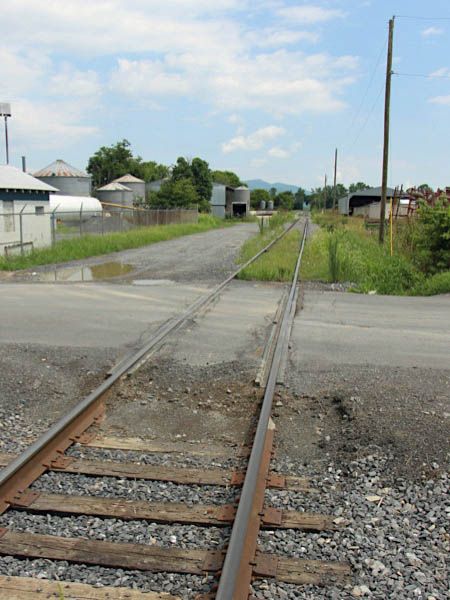
Jul 2020 / RWH
Click to see the Cunningham Lane crossing plotted on a Google Maps page
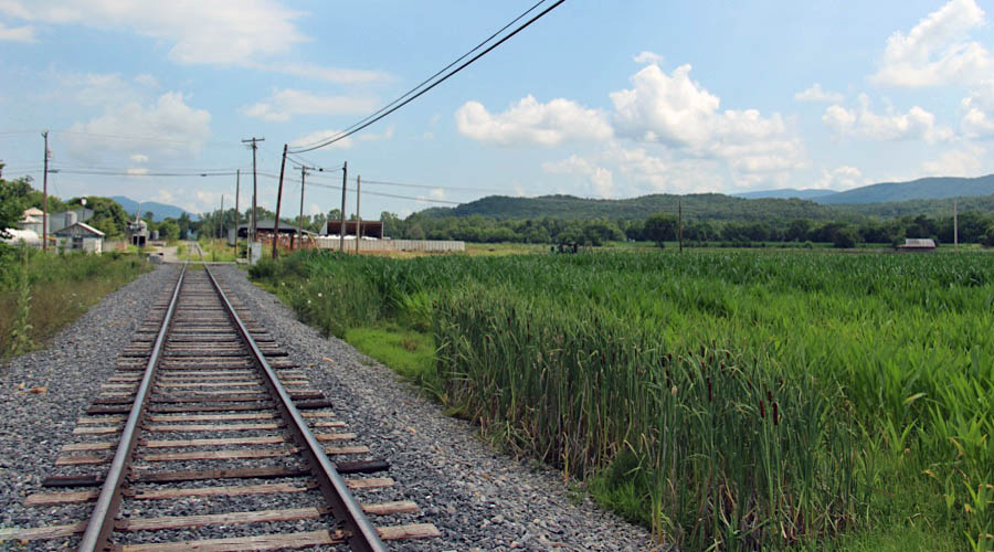
Cunningham, WV / Jul 2020 / RWH
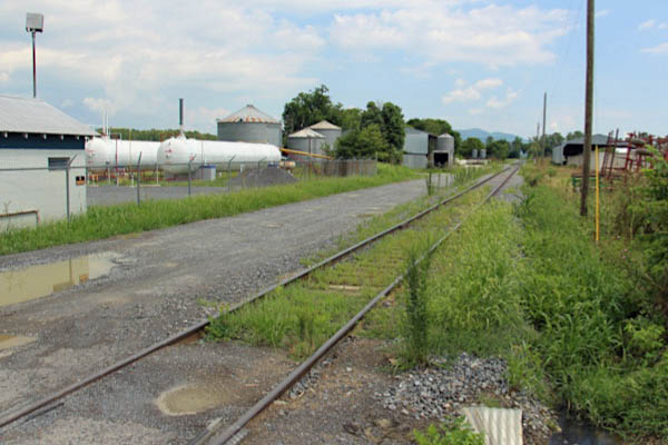
Cunningham, WV / Jul 2020 / RWH
Cunningham, WV / Jul 2020 / RWH
Cunningham, WV / Jul 2020 / RWH
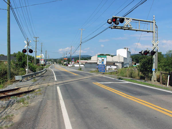
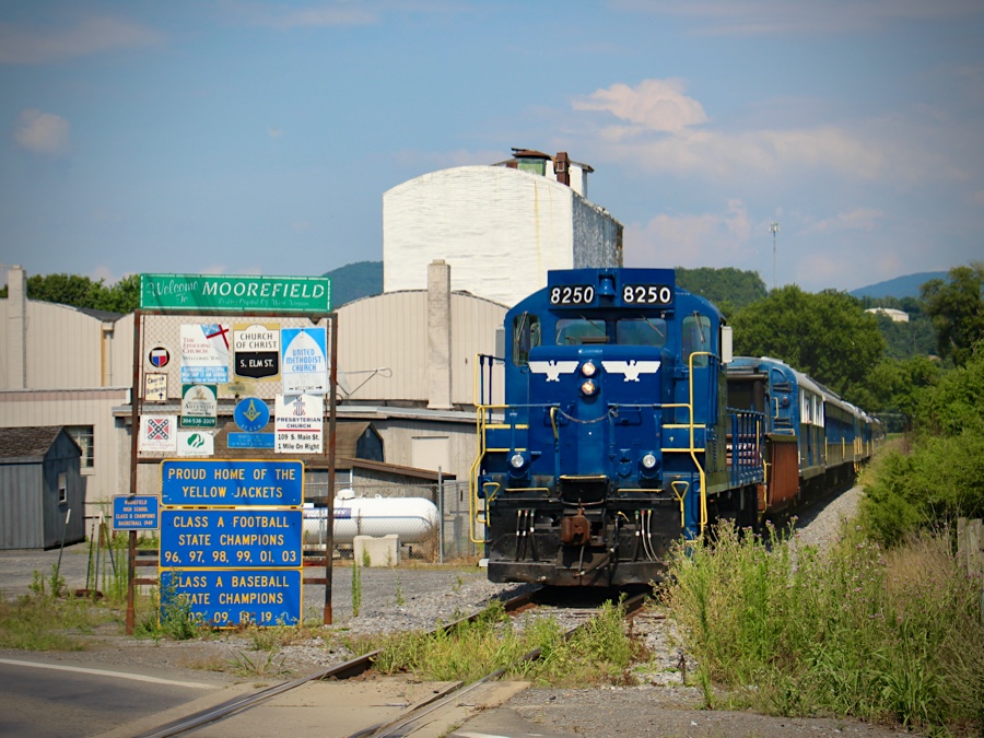
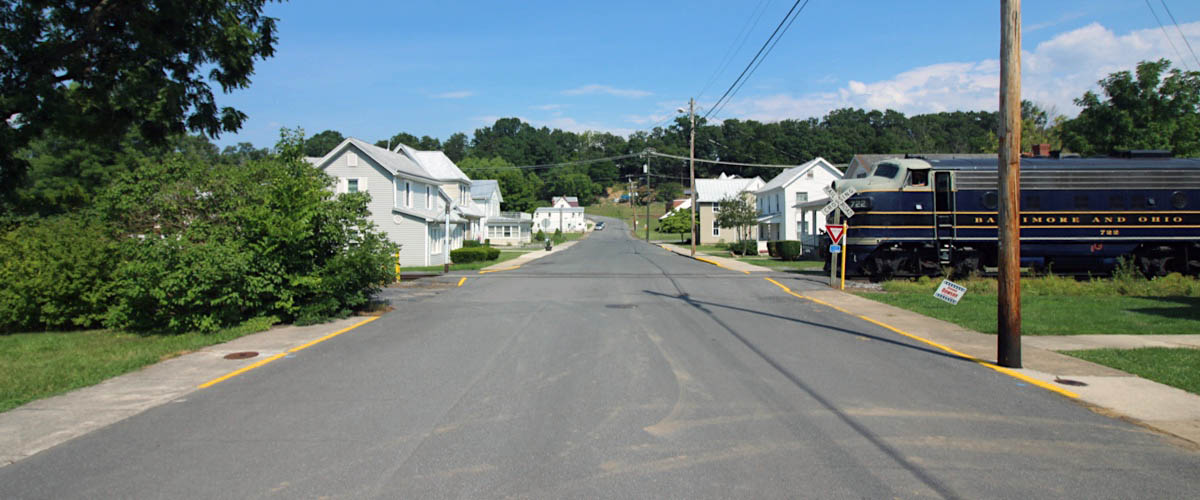
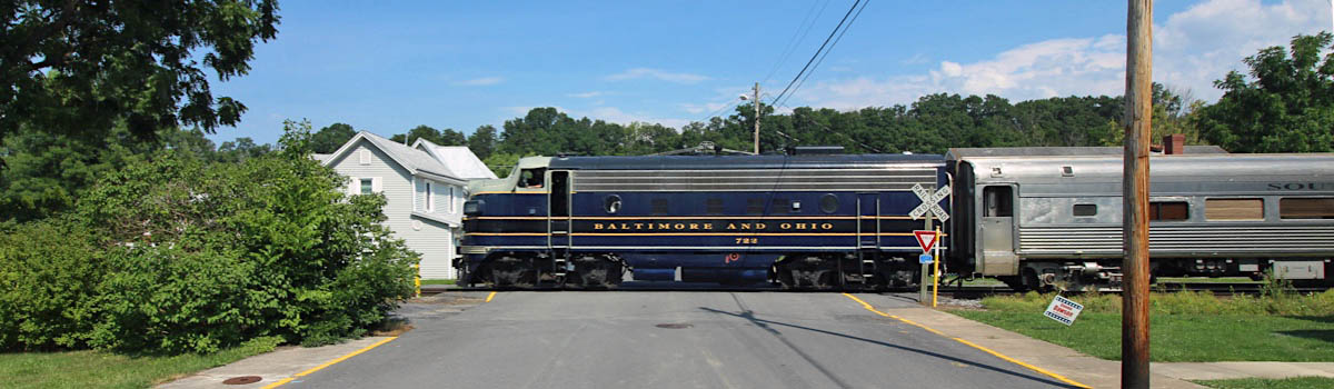
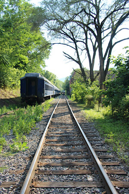
 Moorefield
Moorefield is a town in Hardy County, West Virginia, USA. Moorefield is the county seat of Hardy County. It was originally chartered in 1777 and named for Conrad Moore, who owned the land upon which the town was laid out. Moorefield is located at the confluence of the South Branch Potomac River and the South Fork South Branch Potomac River.
1955 Official Guide table / collection
Moorefield, WV / Jul 2020 / RWH
Click to see the Clements Street crossing plotted on a Google Maps page
Moorefield, WV / Jul 2020 / RWH

See also our nearby South Branch Valley Railroad scrapbook in Shortlines
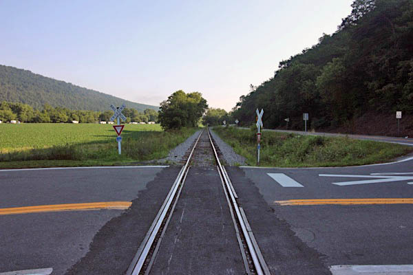
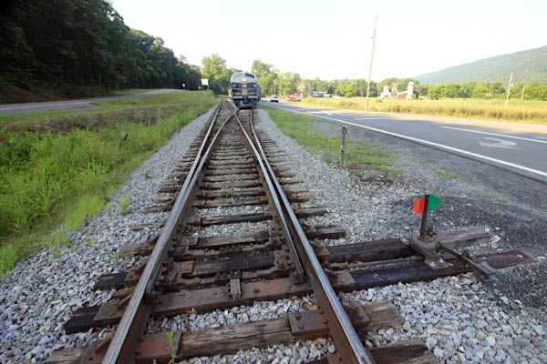
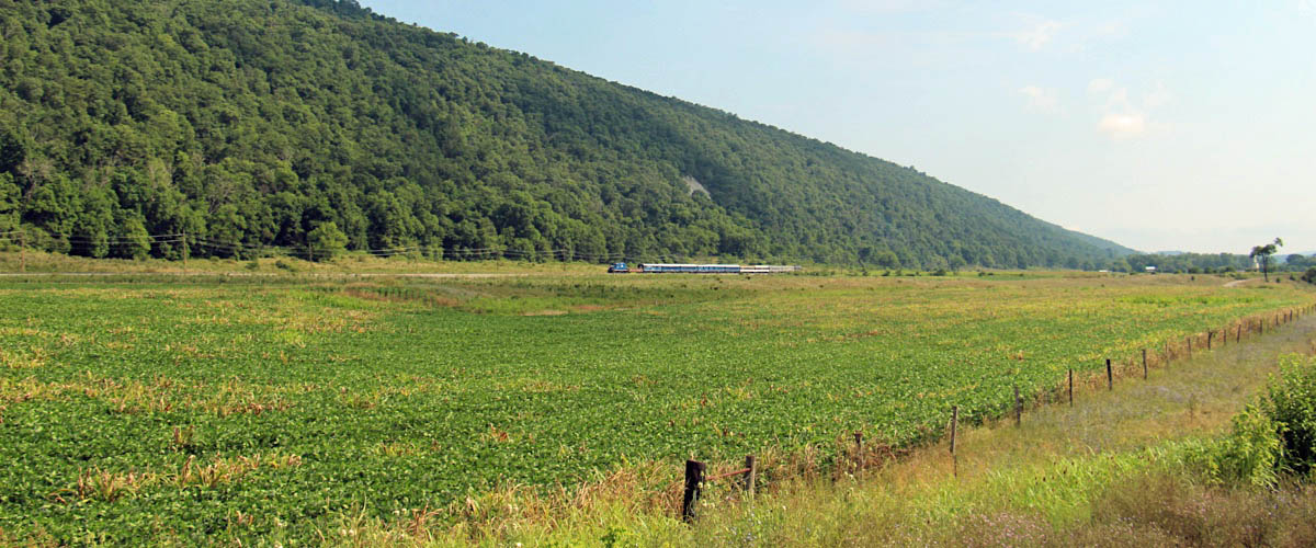
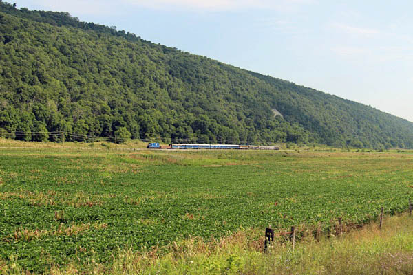
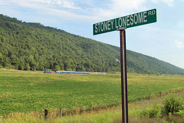
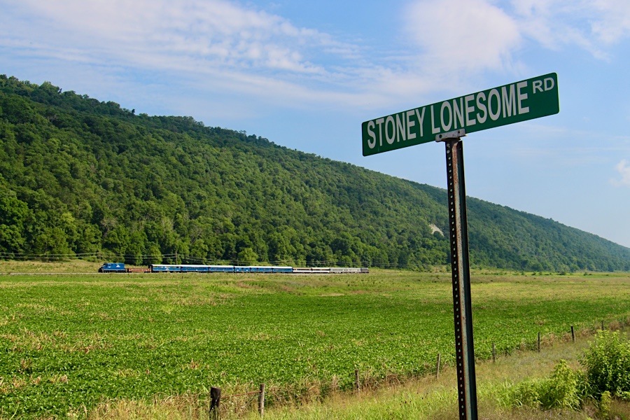
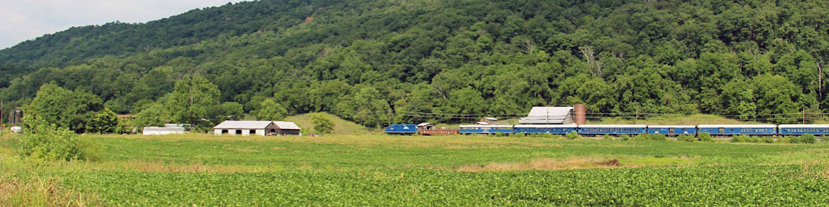
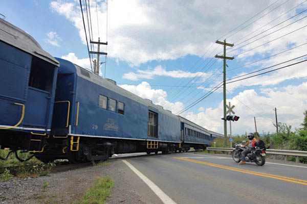
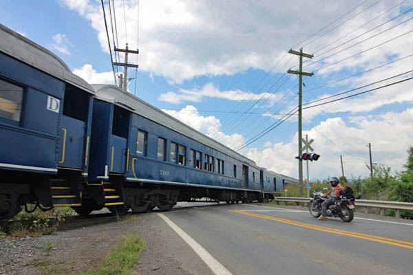
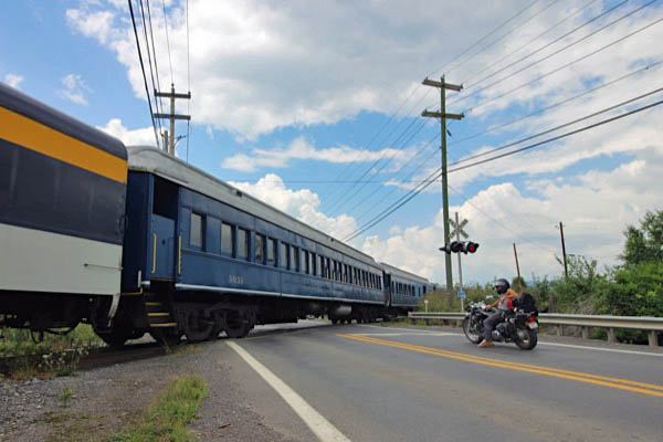
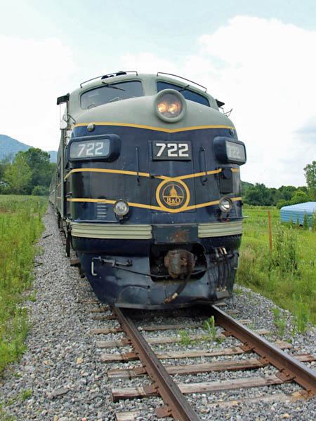
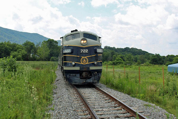
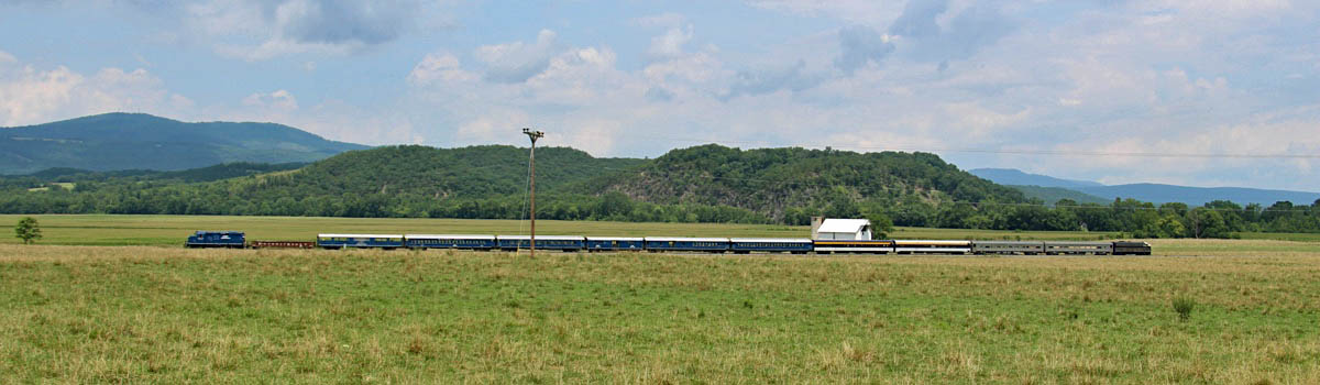
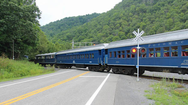
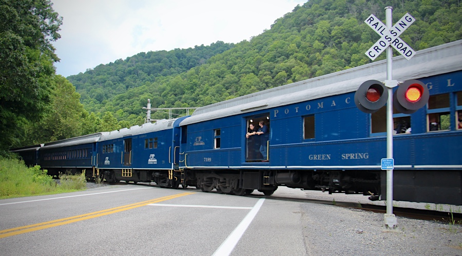
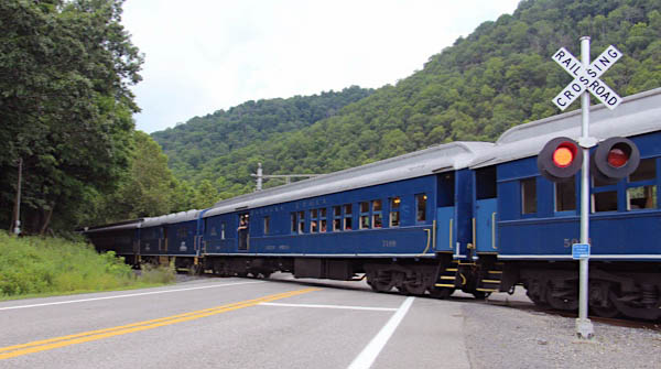
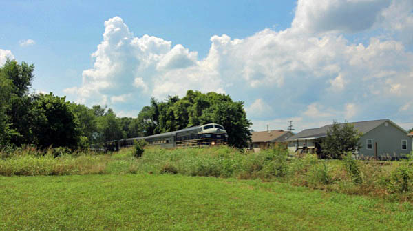
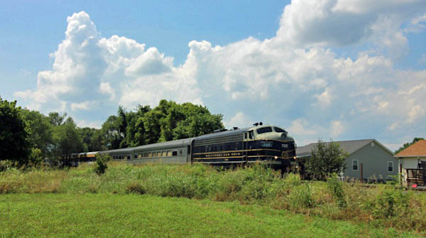
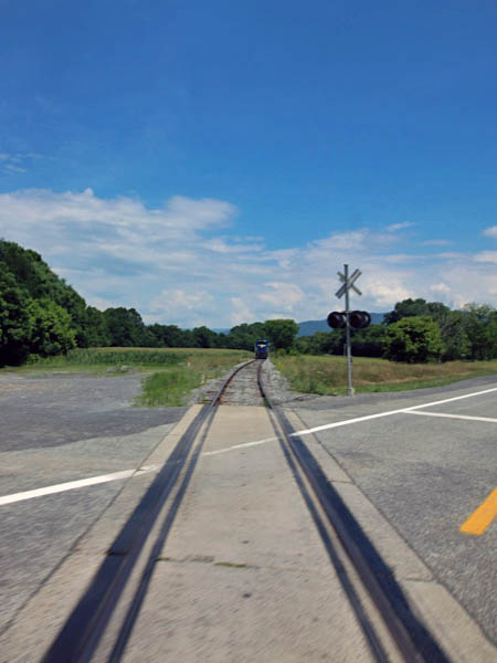
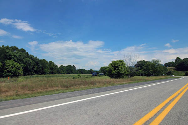
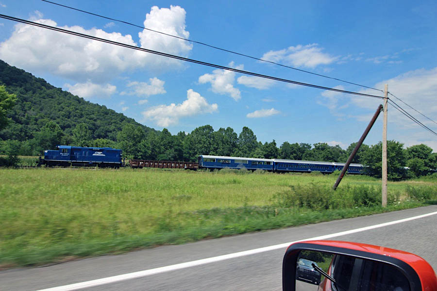
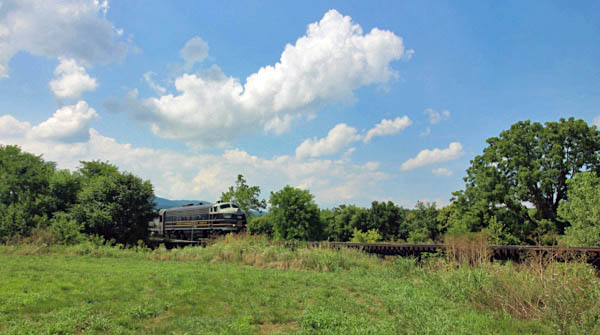
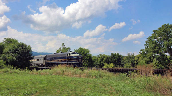
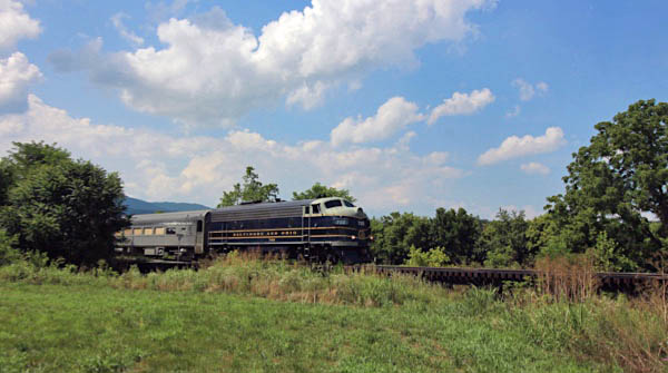
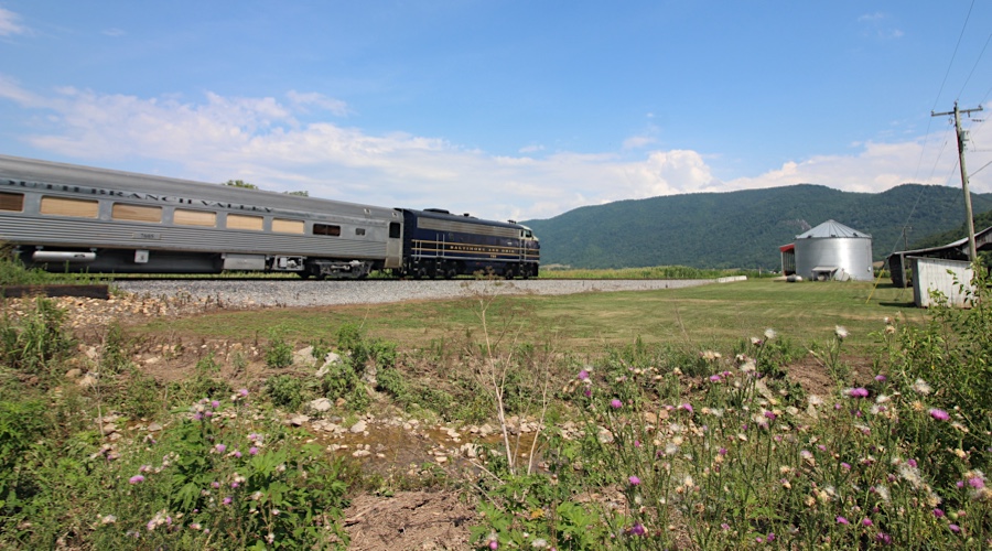
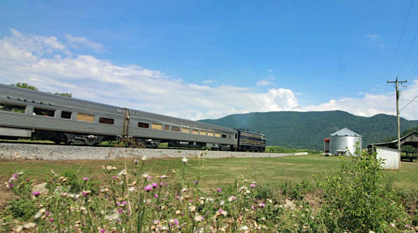
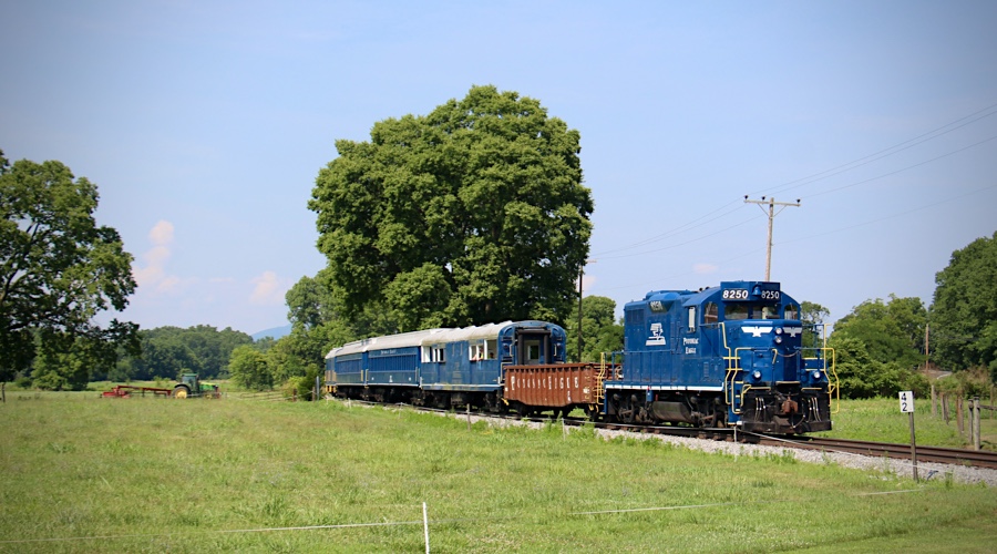
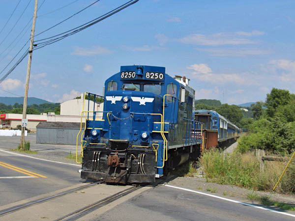
 Route 220 chase
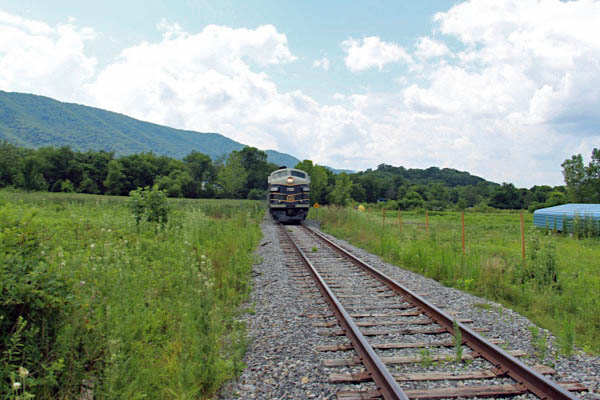
Moorefield, WV / Jul 2020 / RWH
Click to see the U.S. Route 220 crossing plotted on a Google Maps page
Moorefield, WV / Jul 2020 / RWH

Moorefield, WV / Jul 2020 / RWH
Moorefield, WV / Jul 2020 / RWH
Moorefield, WV / Jul 2020 / RWH
Taylor

Taylor, WV / Jul 2020 / RWH
Click to see this location plotted on a Google Maps page
Taylor, WV / Jul 2020 / RWH
Taylor, WV / Jul 2020 / RWH
Taylor, WV / Jul 2020 / RWH
Taylor, WV / Jul 2020 / RWH
Taylor, WV / Jul 2020 / RWH
Taylor, WV / Jul 2020 / RWH
Taylor, WV / Jul 2020 / RWH
Click to see this location plotted on a Google Maps page
Taylor, WV / Jul 2020 / RWH
Taylor, WV / Jul 2020 / RWH
Taylor, WV / Jul 2020 / RWH
Jul 2020 / RWH
Taylor, WV / Jul 2020 / RWH
Taylor, WV / Jul 2020 / RWH
 Durgon
Durgon, WV / Jul 2020 / RWH
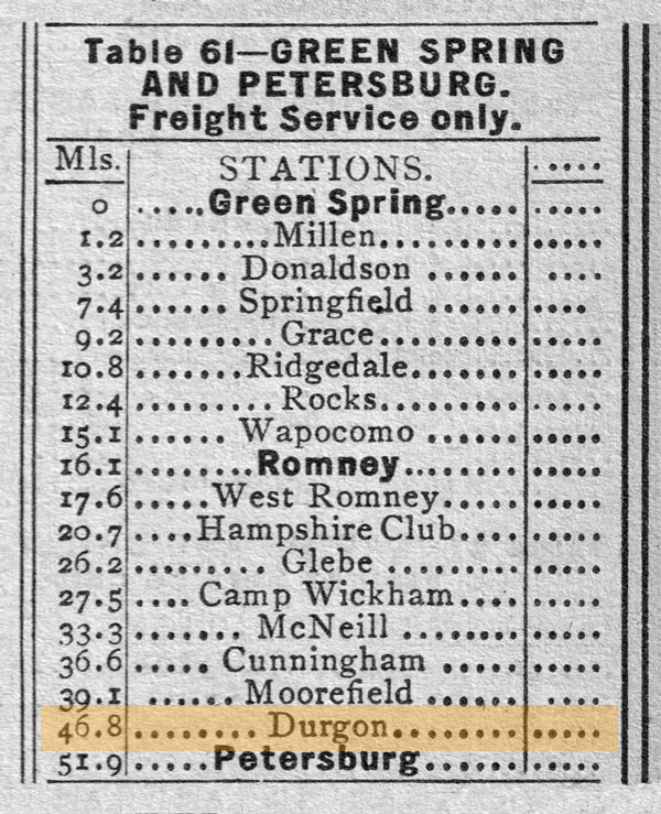
1955 Official Guide table / collection
Durgon, WV / Jul 2020 / RWH
Durgon, WV / Jul 2020 / RWH
Click to see this location along U.S. 220 plotted on a Google Maps page
Durgon, WV / Jul 2020 / RWH
Durgon, WV / Jul 2020 / RWH
Durgon, WV / Jul 2020 / RWH
Durgon, WV / Jul 2020 / RWH
Durgon, WV / Jul 2020 / RWH
Durgon, WV / Jul 2020 / RWH

Durgon, WV / Jul 2020 / RWH
Durgon, WV / Jul 2020 / RWH
Durgon, WV / Jul 2020 / RWH
Click to see the Silver Acres Road crossing plotted on a Google Maps page

Durgon, WV / Jul 2020 / RWH
Durgon, WV / Jul 2020 / RWH
Durgon, WV / Jul 2020 / RWH
Durgon, WV / Jul 2020 / RWH
Durgon, WV / Jul 2020 / RWH
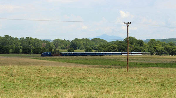
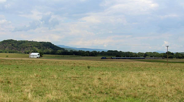
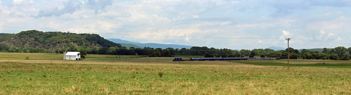
Route 220 chase
Durgon, WV / Jul 2020 / RWH
Click to see this location along U.S. 220 plotted on a Google Maps page
Durgon, WV / Jul 2020 / RWH
Durgon, WV / Jul 2020 / RWH
Jul 2020 / RWH
Durgon, WV / Jul 2020 / RWH
Durgon, WV / Jul 2020 / RWH
Click to see the U.S. 220 crossing plotted on a Google Maps page
Durgon, WV / Jul 2020 / RWH
Durgon, WV / Jul 2020 / RWH
Durgon, WV / Jul 2020 / RWH
Durgon, WV / Jul 2020 / RWH
Durgon, WV / Jul 2020 / RWH
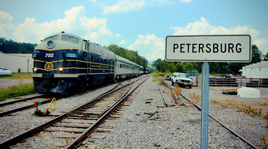
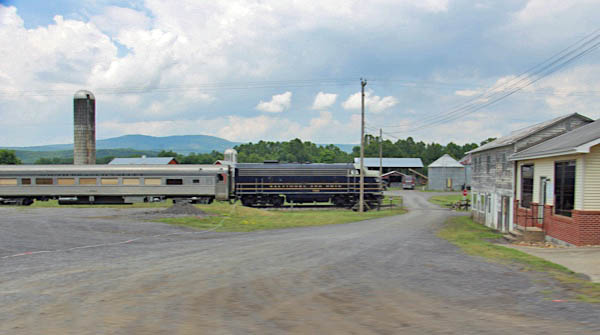
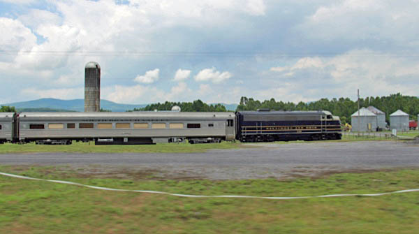
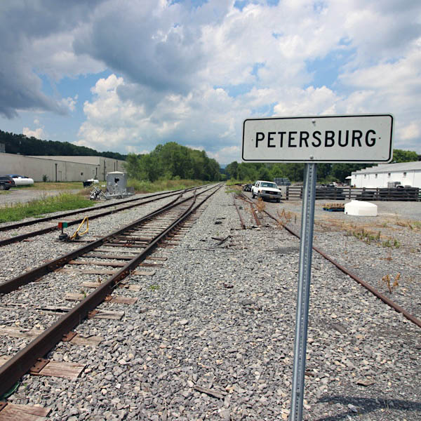
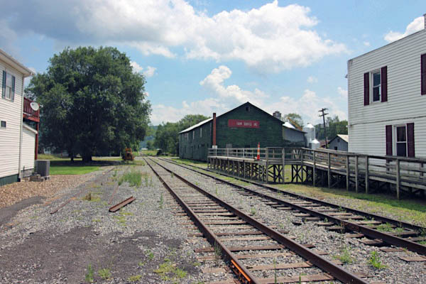
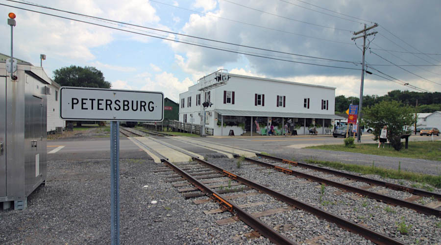
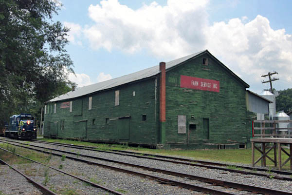
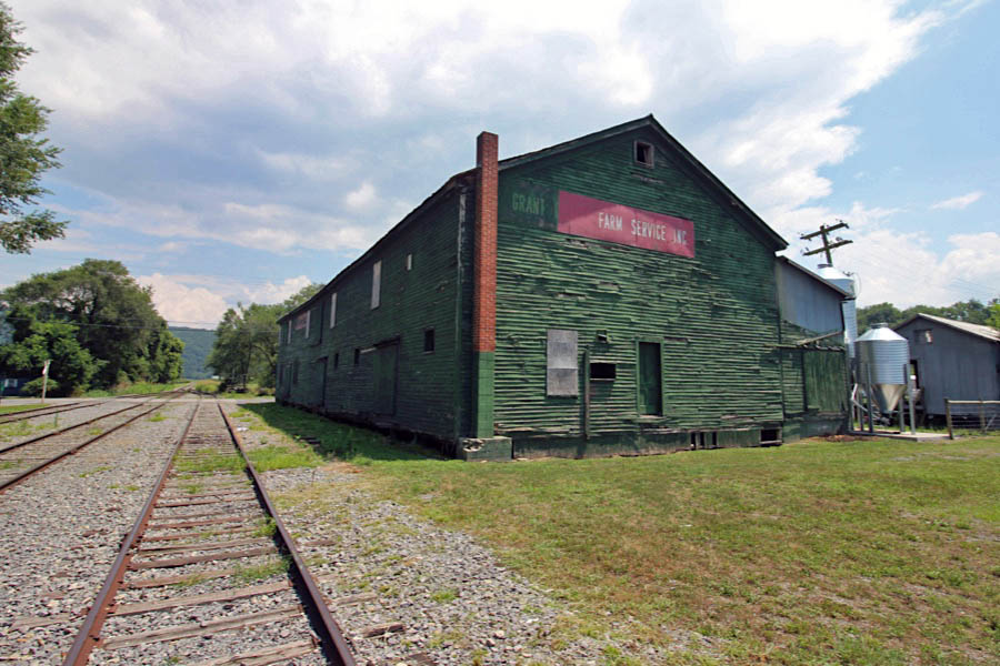
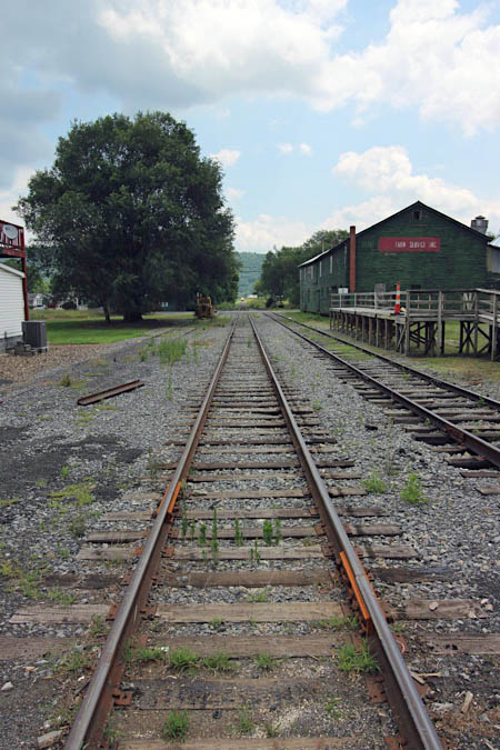
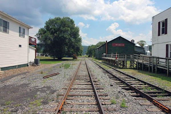
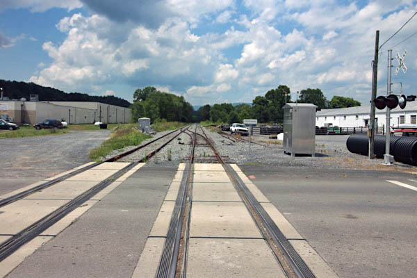
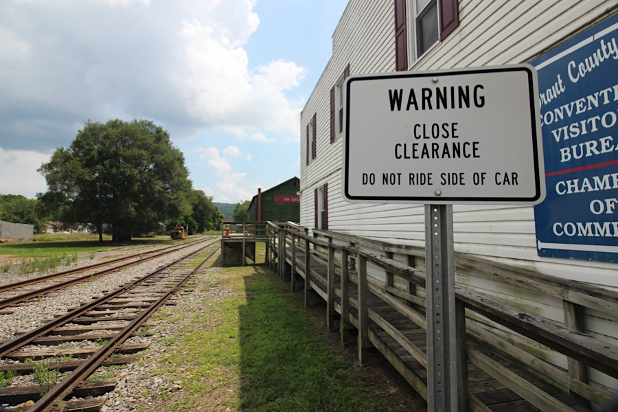
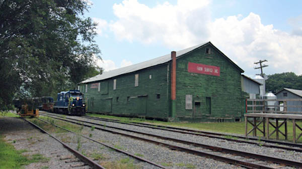
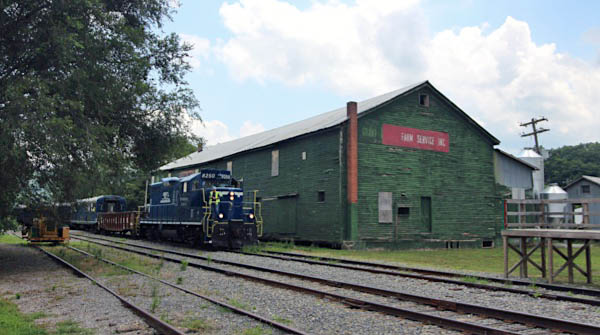
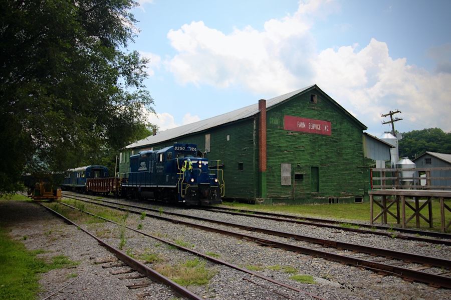
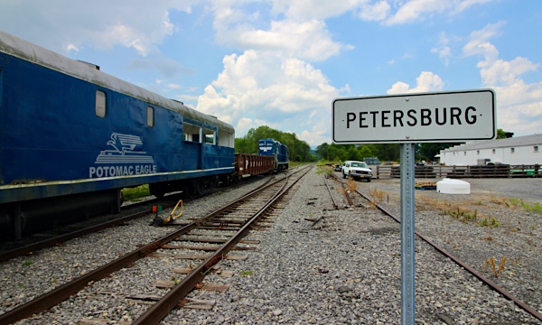
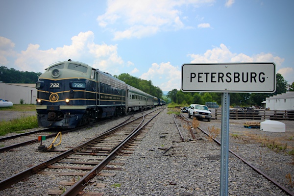
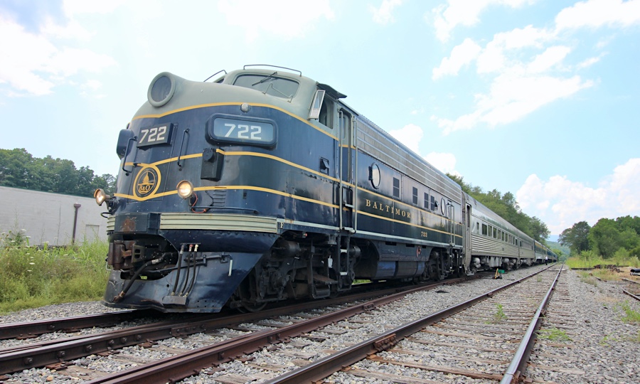
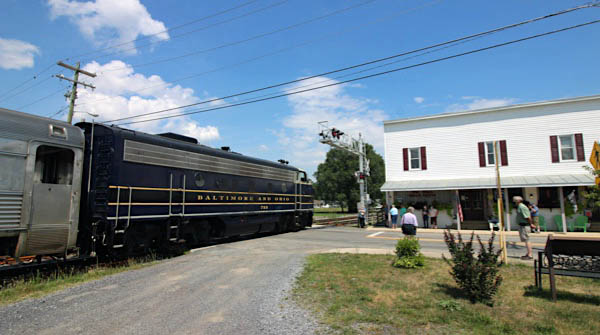
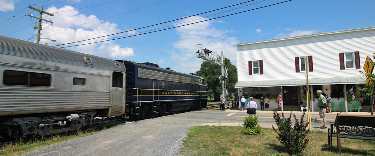
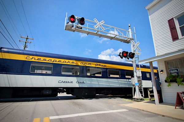
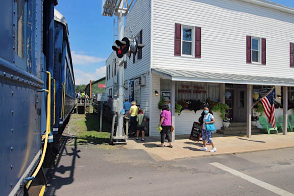
 Petersburg
Petersburg is a city in Grant County, West Virginia, United States. The population was 2,423 at the 2000 census. It is the county seat of Grant County. Petersburg was founded circa 1745 by Jacob Peterson, who owned the area's first merchandising store. It was incorporated in 1910.
1955 Official Guide table / collection
Jul 2020 / RWH
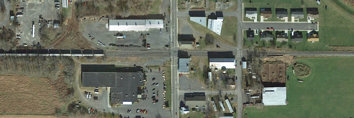
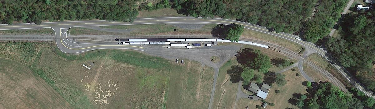
South Side Depot overhead / Google Maps

brochure / collection
Petersburg, WV / Jul 2020 / RWH
Jul 2020 / RWH
Click to see the South Side Depot area plotted on a Google Maps page
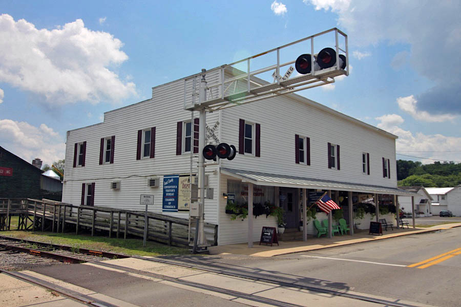
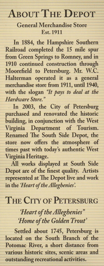
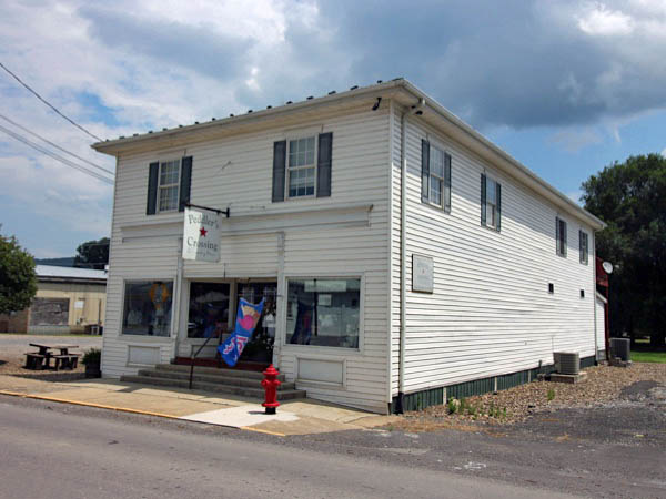
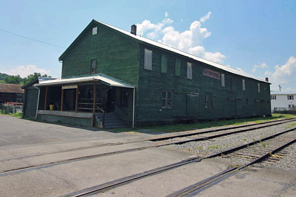
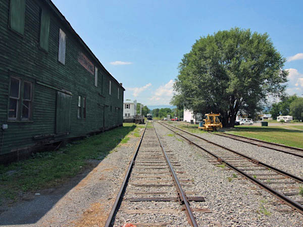
South Side Depot
Petersburg, WV / Jul 2020 / RWH
Petersburg, WV / Jul 2020 / RWH
collection
Petersburg, WV / Jul 2020 / RWH
Petersburg, WV / Jul 2020 / RWH
Petersburg, WV / Jul 2020 / RWH
Petersburg, WV / Jul 2020 / RWH
Petersburg, WV / Jul 2020 / RWH
Petersburg, WV / Jul 2020 / RWH
Petersburg, WV / Jul 2020 / RWH
Jul 2020 / RWH
Petersburg, WV / Jul 2020 / RWH
Petersburg, WV / Jul 2020 / RWH
Petersburg, WV / Jul 2020 / RWH
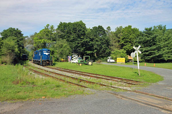
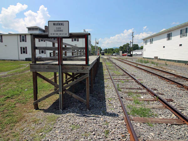
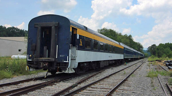
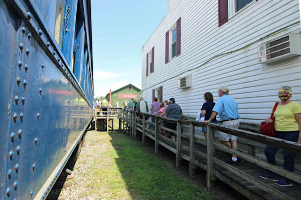
Arrival
Jul 2020 / RWH
Petersburg, WV / Jul 2020 / RWH

Jul 2020 / RWH
Petersburg, WV / Jul 2020 / RWH
Jul 2020 / RWH
Jul 2020 / RWH
Petersburg, WV / Jul 2020 / RWH
Petersburg, WV / Jul 2020 / RWH
Petersburg, WV / Jul 2020 / RWH
Petersburg, WV / Jul 2020 / RWH
Petersburg, WV / Jul 2020 / RWH
Petersburg, WV / Jul 2020 / RWH
Petersburg, WV / Jul 2020 / RWH
Departure
Petersburg, WV / Jul 2020 / RWH
Petersburg, WV / Jul 2020 / RWH
Petersburg, WV / Jul 2020 / RWH
Petersburg, WV / Jul 2020 / RWH
Petersburg, WV / Jul 2020 / RWH
Petersburg, WV / Jul 2020 / RWH
Petersburg, WV / Jul 2020 / RWH
Petersburg, WV / Jul 2020 / RWH
Jul 2020 / RWH
Petersburg, WV / Jul 2020 / RWH

Jul 2020 / RWH
Petersburg, WV / Jul 2020 / RWH
Click to see this location plotted on a Google Maps page
Petersburg, WV / Jul 2020 / RWH
Petersburg, WV / Jul 2020 / RWH
Petersburg, WV / Jul 2020 / RWH
Petersburg, WV / Jul 2020 / RWH
Petersburg, WV / Jul 2020 / RWH
Petersburg, WV / Jul 2020 / RWH
Jul 2020 / RWH
Petersburg, WV / Jul 2020 / RWH
Petersburg, WV / Jul 2020 / RWH
Petersburg, WV / Jul 2020 / RWH
Petersburg, WV / Jul 2020 / RWH
Welton Memorial Park
This is a 29-acre multi-purpose facility, was donated to the county by Patricia Welton Garrett and Judy Welton Feinberg. The donation made sense from a traditional perspective because the property – located in the scenic Petersburgon the banks of the South Branch of the Potomac – has been a playground for local residents for about as long as the valley has been inhabited. Oldtimers remember when the property was used for “jousting” events. In the days prior to the infamous 1985 flood, the park property was home to a collection of summer camps, cabins and mobile homes, all of which washed away in the disaster.
Click to see Welton Park plotted on a Google Maps page

Welton Park overhead / Google Maps
Jul 2020 / RWH
Petersburg, WV / Jul 2020 / RWH
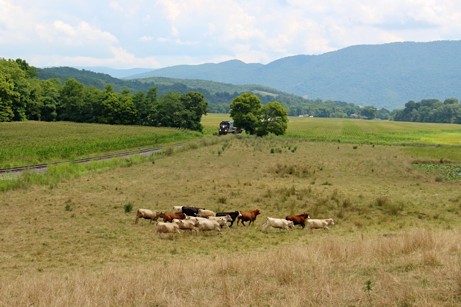
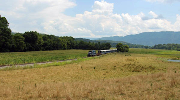
Route 220 chase
Jul 2020 / RWH

Petersburg, WV / Jul 2020 / RWH
Petersburg, WV / Jul 2020 / RWH
Petersburg, WV / Jul 2020 / RWH
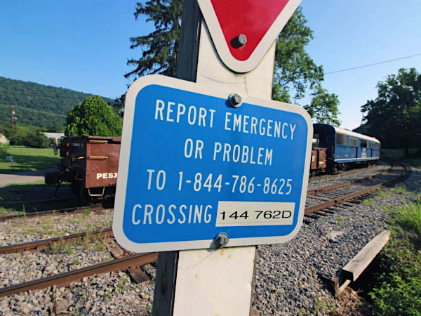
Durgon
1955 Official Guide table / collection
Durgon, WV / Jul 2020 / RWH
Click to see this location plotted on a Google Maps page
Durgon, WV / Jul 2020 / RWH
Durgon, WV / Jul 2020 / RWH
Durgon, WV / Jul 2020 / RWH
Durgon, WV / Jul 2020 / RWH
Durgon, WV / Jul 2020 / RWH
Jul 2020 / RWH
Taylor
Taylor, WV / Jul 2020 / RWH
Taylor, WV / Jul 2020 / RWH
Click to see this location plotted on a Google Maps page
Taylor, WV / Jul 2020 / RWH
Taylor, WV / Jul 2020 / RWH
Taylor, WV / Jul 2020 / RWH
Taylor, WV / Jul 2020 / RWH
Taylor, WV / Jul 2020 / RWH
Taylor, WV / Jul 2020 / RWH
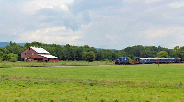
Moorefield
1955 Official Guide table / collection
Moorefield, WV / Jul 2020 / RWH
Moorefield, WV / Jul 2020 / RWH
Click to see the U.S. Route 220 crossing plotted on a Google Maps page
Jul 2020 / RWH
Moorefield, WV / Jul 2020 / RWH
Moorefield, WV / Jul 2020 / RWH
Click to see the Washington Street crossing plotted on a Google Maps page
Moorefield, WV / Jul 2020 / RWH
Cunningham
1955 Official Guide table / collection
Cunningham, WV / Jul 2020 / RWH
Click to see the Old Meadows Farm Lane crossing plotted on a Google Maps page
Cunningham, WV / Jul 2020 / RWH
Cunningham, WV / Jul 2020 / RWH
Cunningham, WV / Jul 2020 / RWH
Wappocomo
1955 Official Guide table / collection
Wappocomo, WV / Jul 2020 / RWH
Wappocomo, WV / Jul 2020 / RWH
Wappocomo, WV / Jul 2020 / RWH
Wappocomo, WV / Jul 2020 / RWH
Wappocomo, WV / Jul 2020 / RWH
Jul 2020 / RWH
Wappocomo, WV / Jul 2020 / RWH
Wappocomo, WV / Jul 2020 / RWH
Wappocomo, WV / Jul 2020 / RWH
Wappocomo, WV / Jul 2020 / RWH