 |
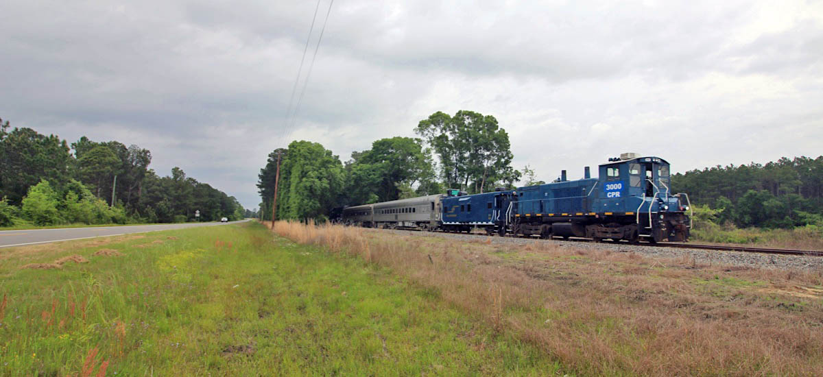
Azalea Sprinter Moody AFB Chase |
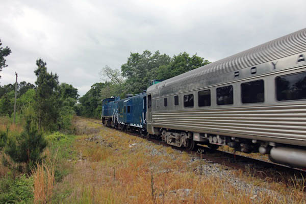
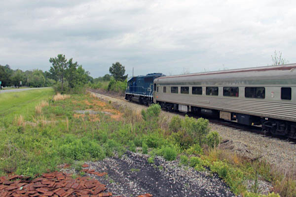
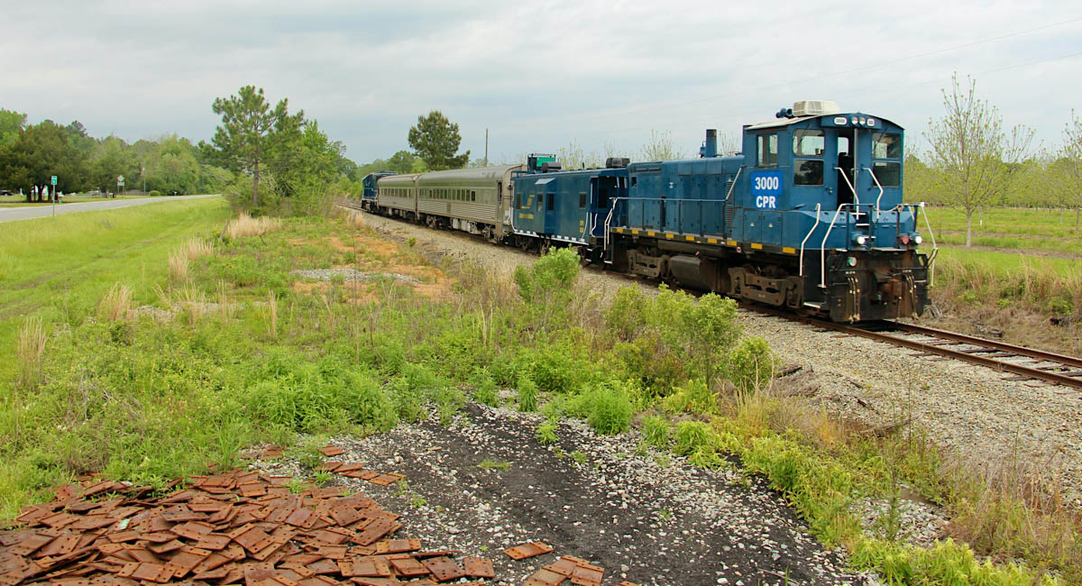
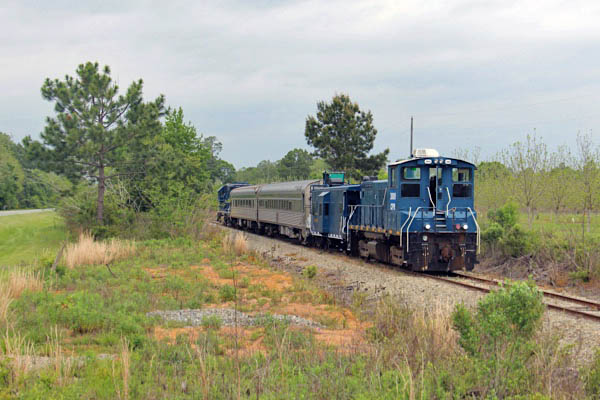
Barretts, Ga / Apr 2021 / RWH

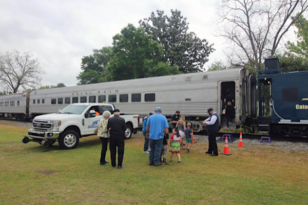
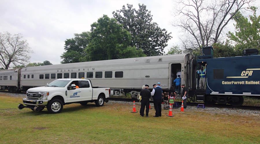
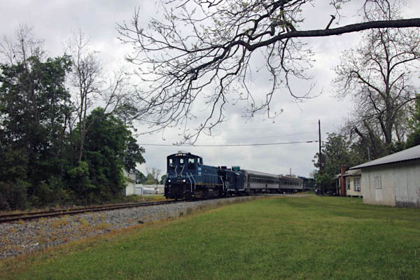
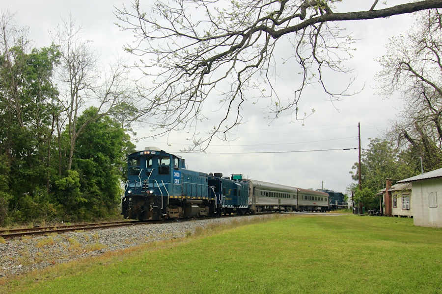
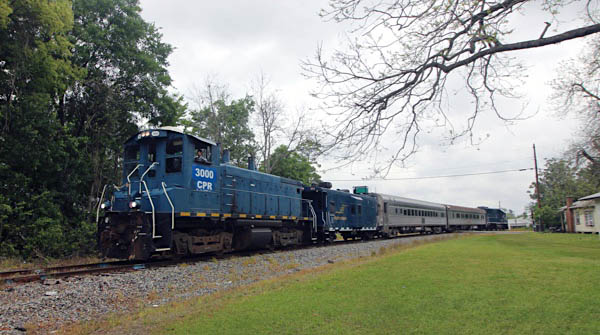
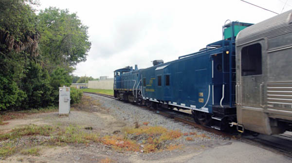
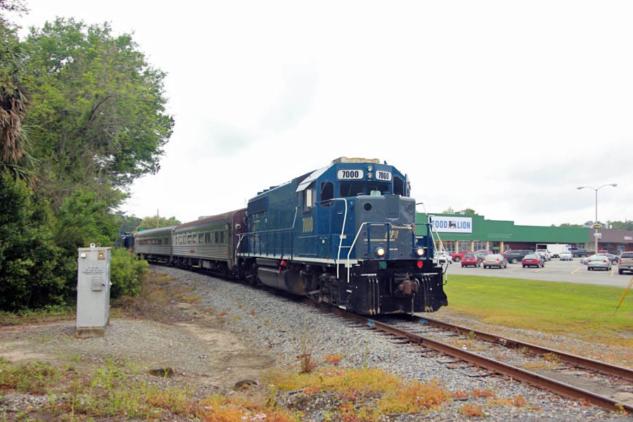
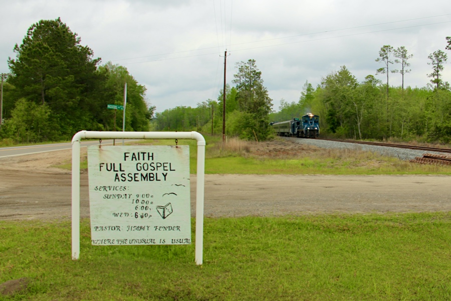
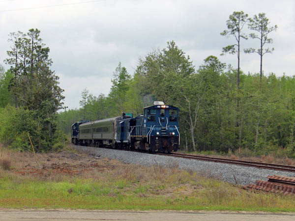
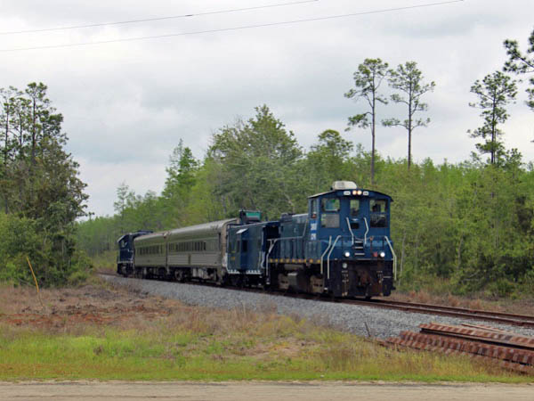
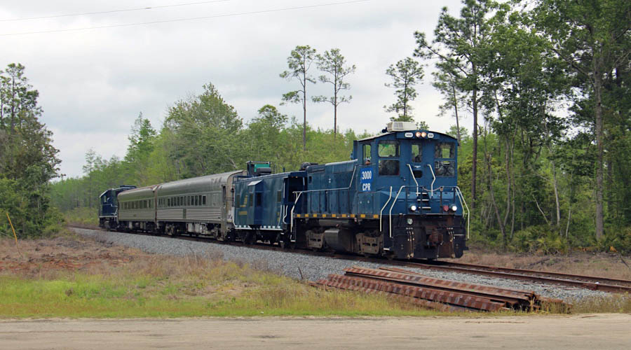
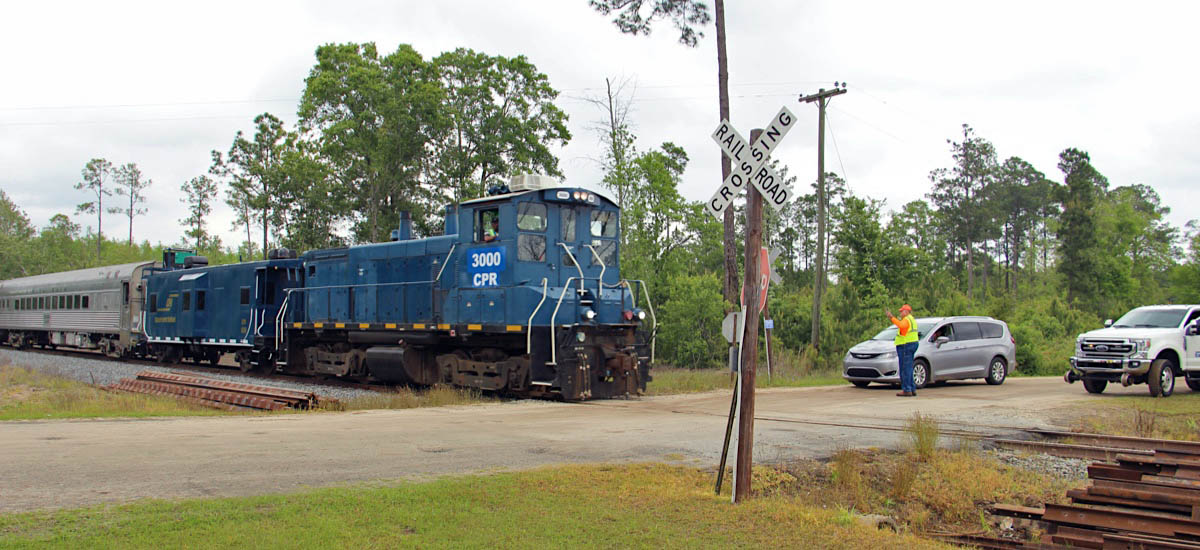
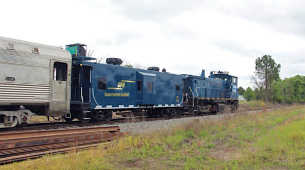
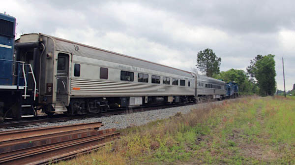
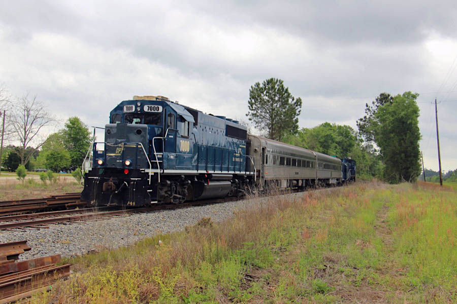
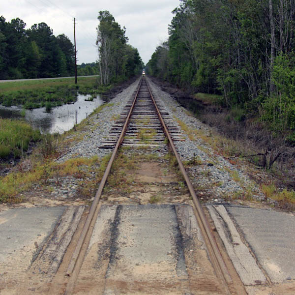
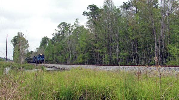
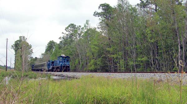
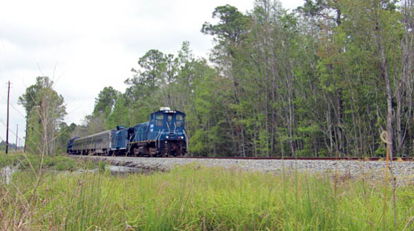
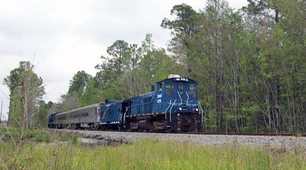
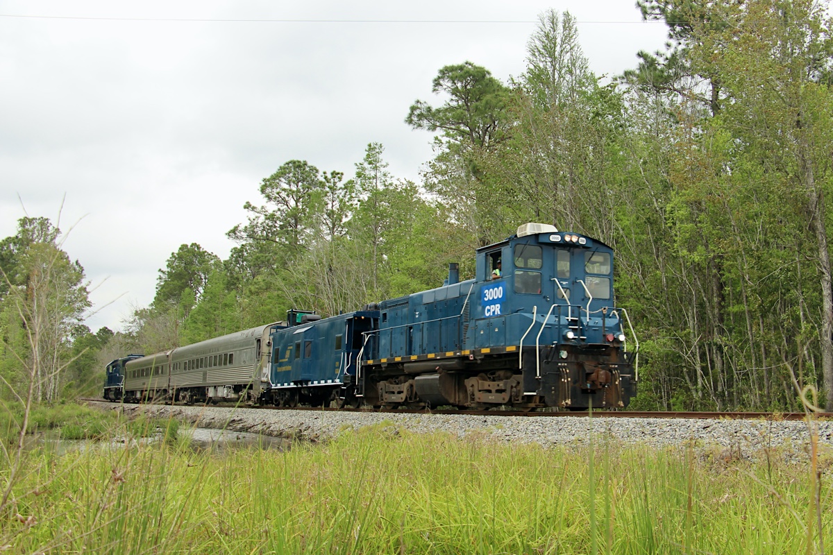
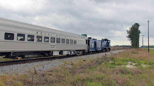
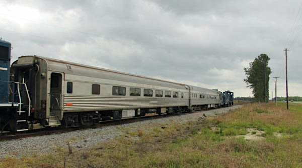
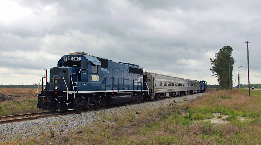
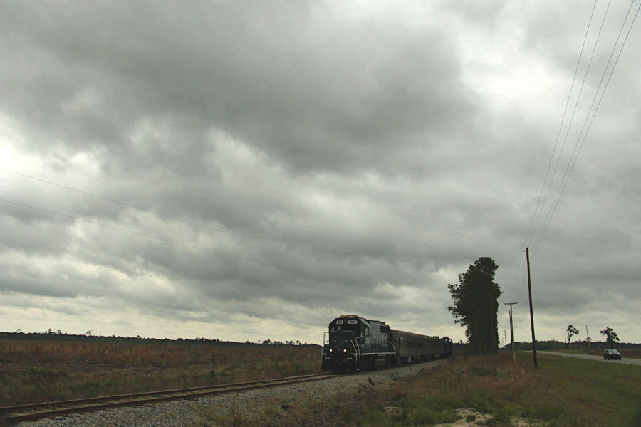
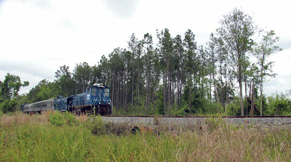
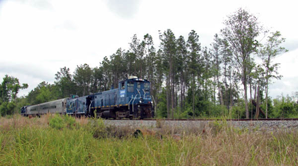
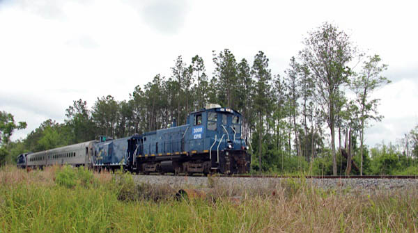
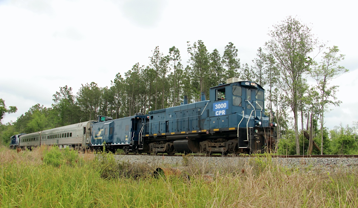
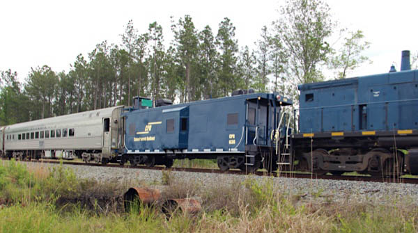
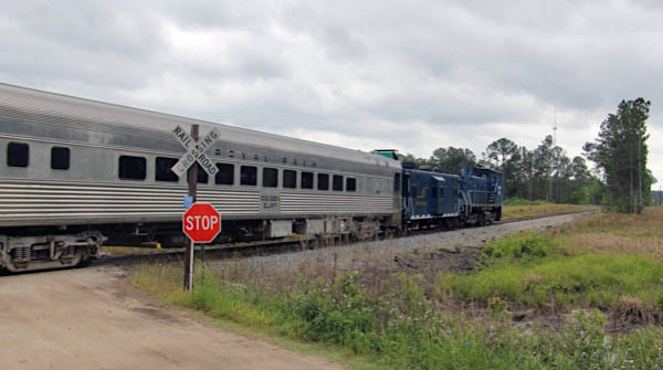
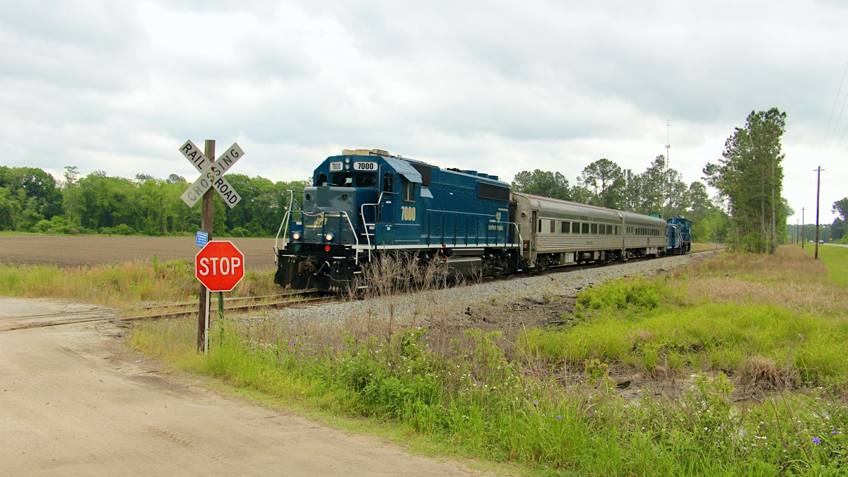
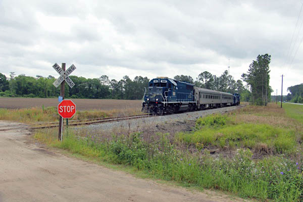
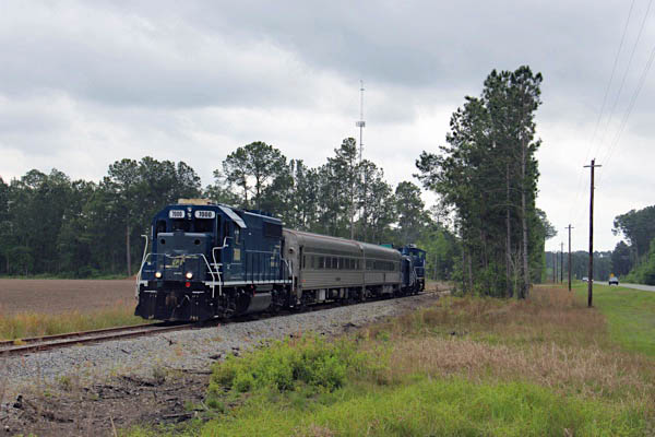
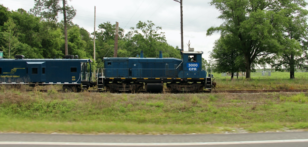
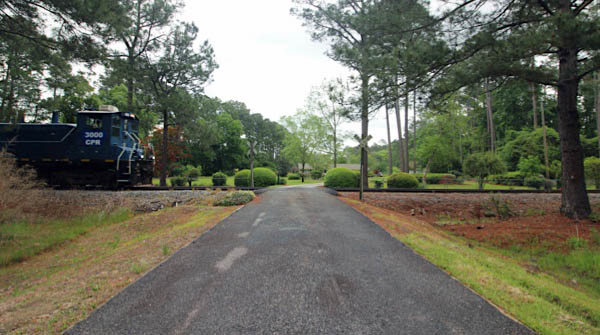
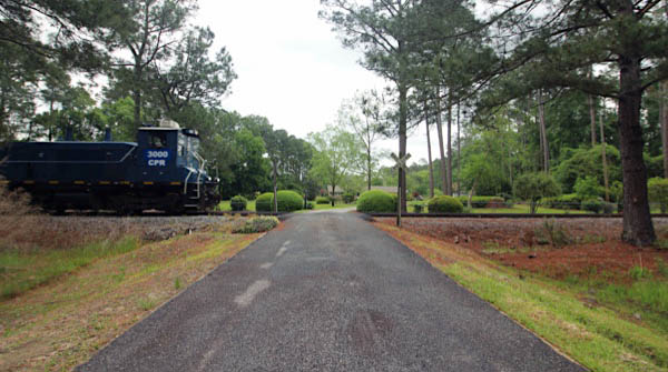
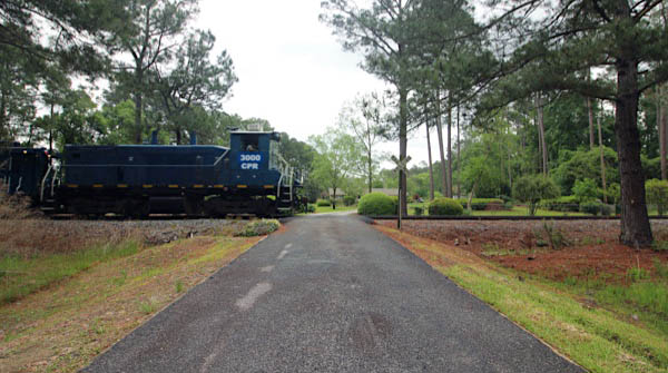
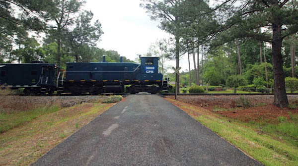
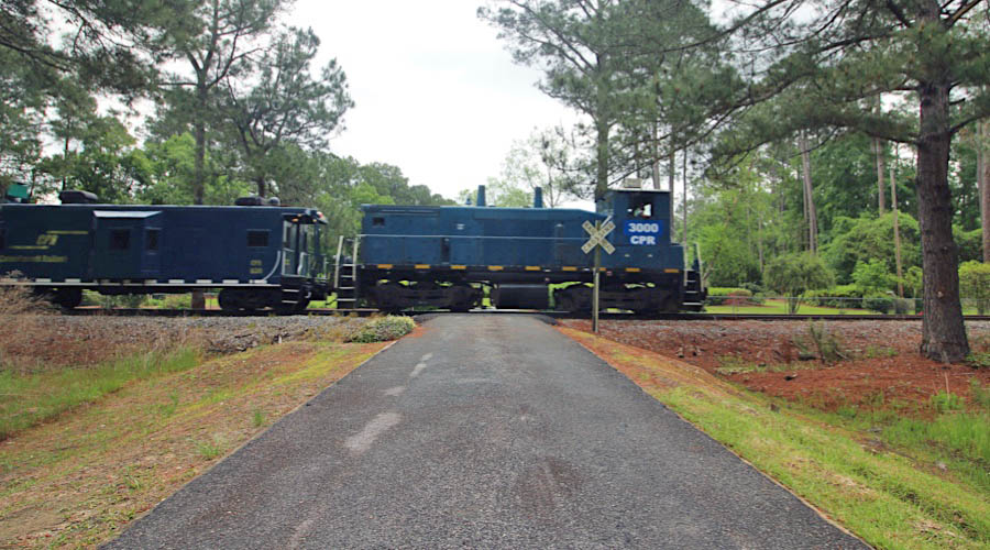
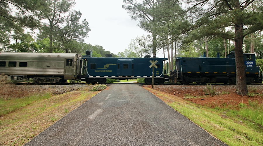
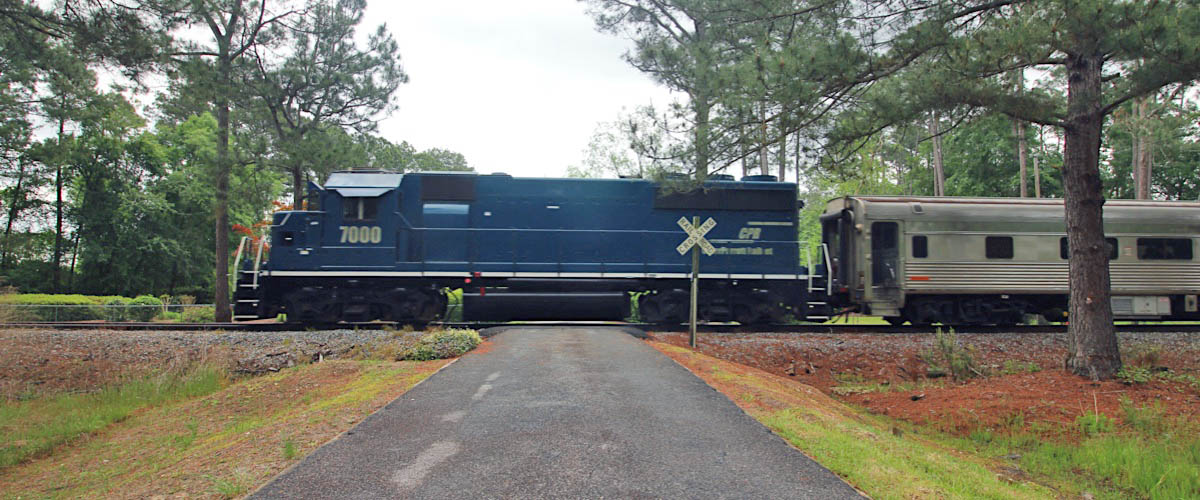
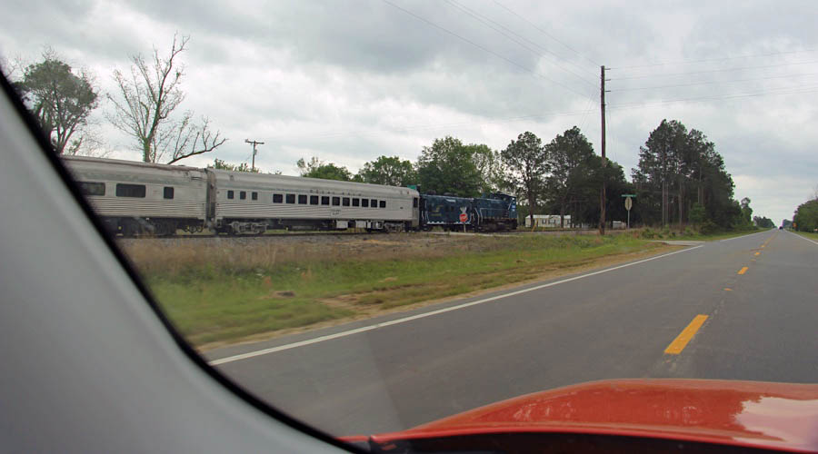
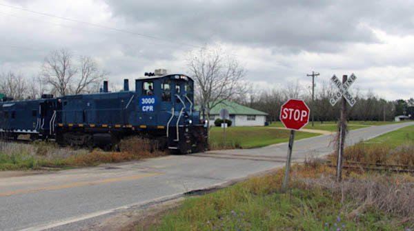
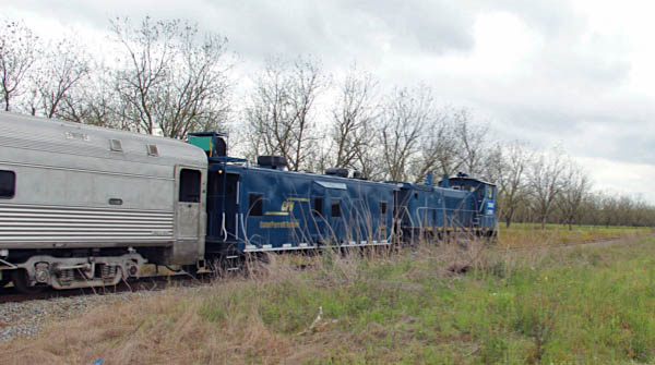
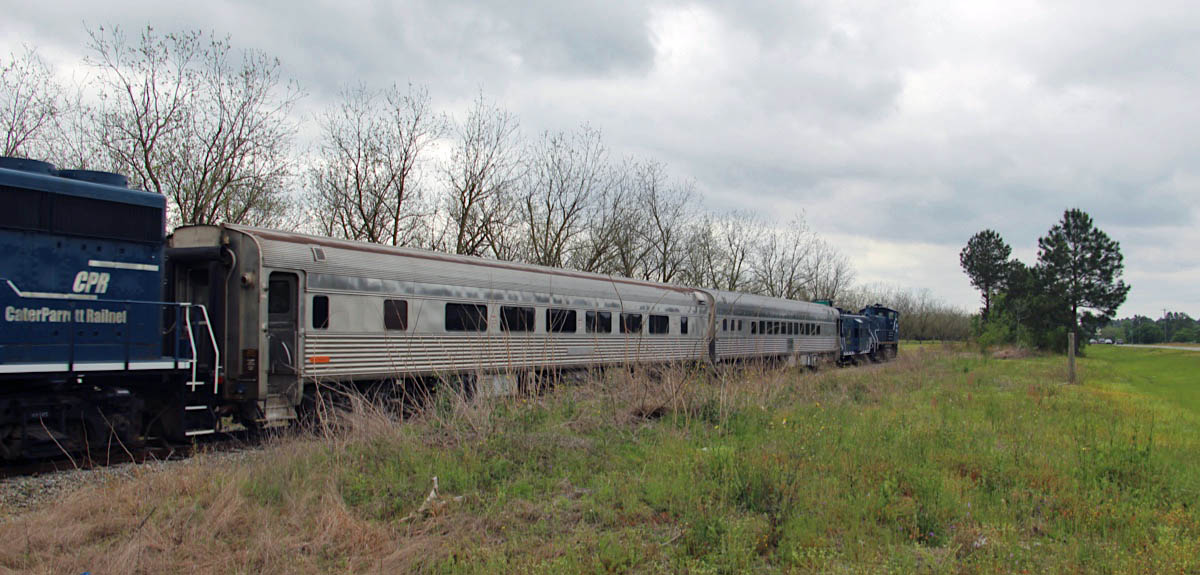
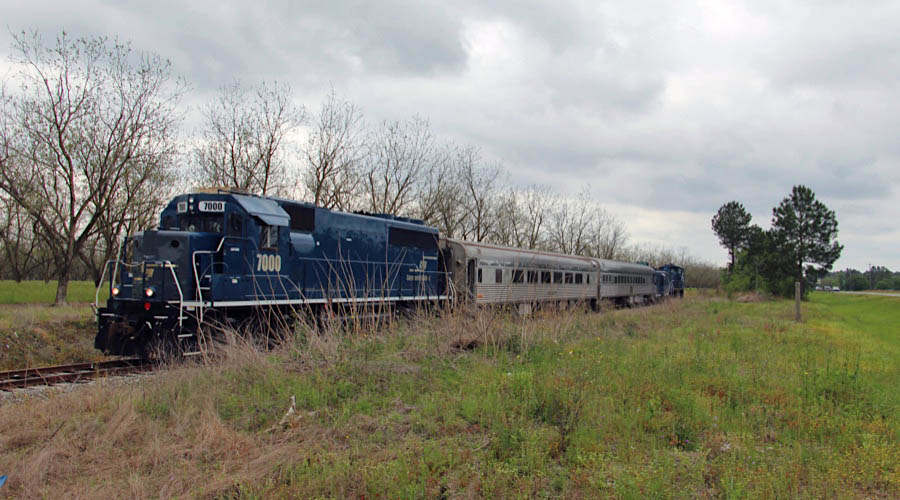
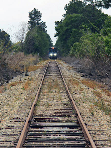
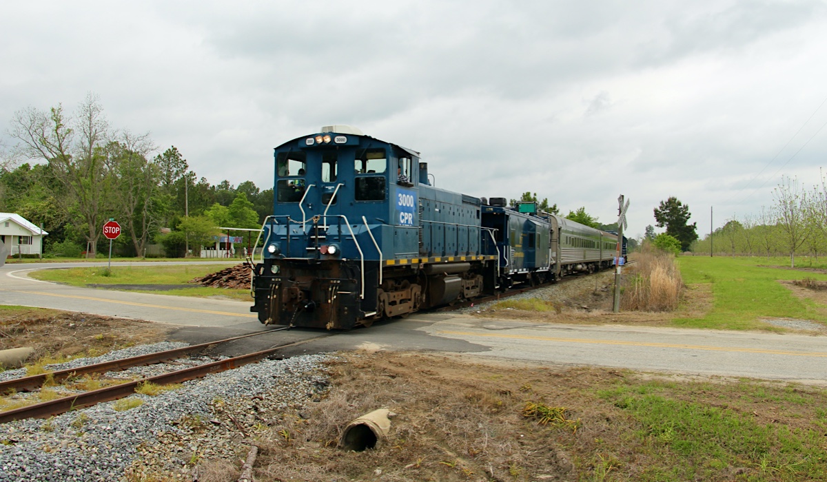
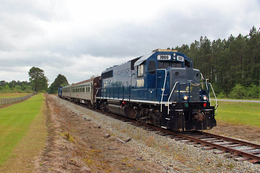
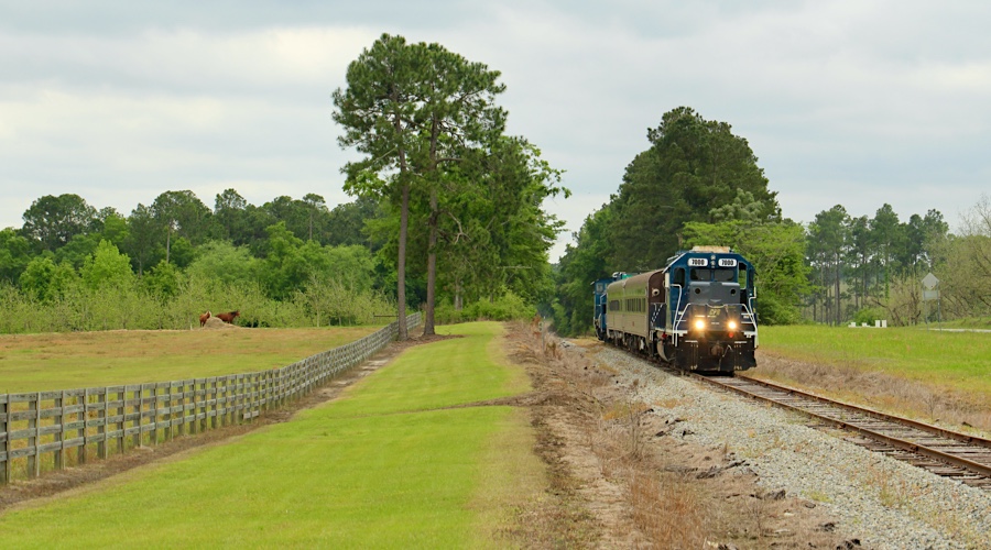
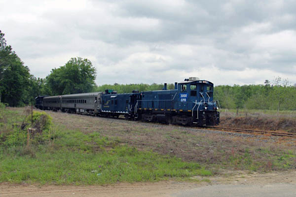
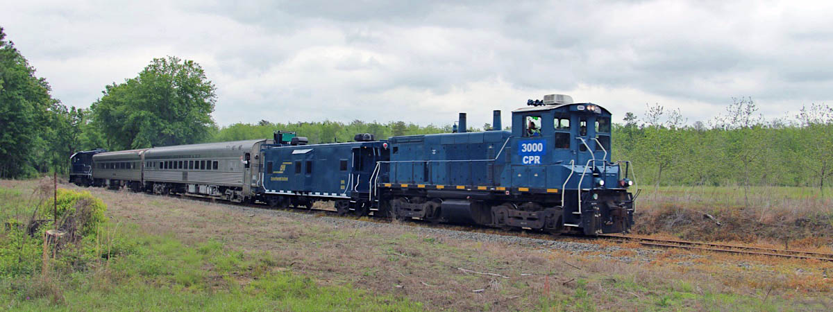
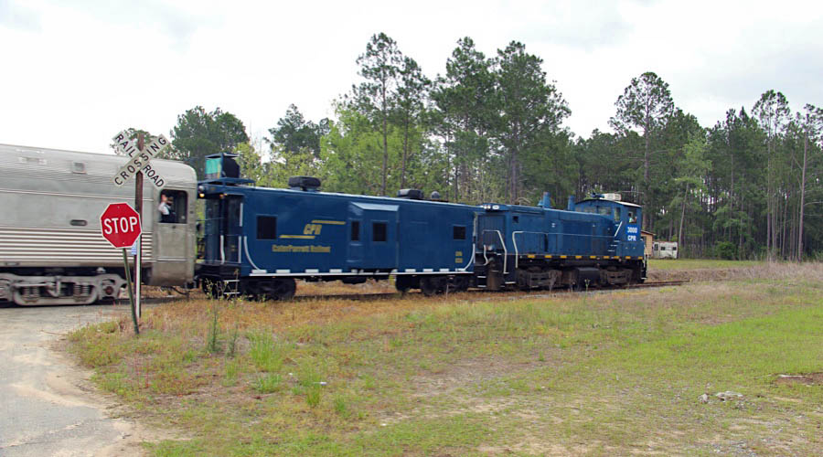
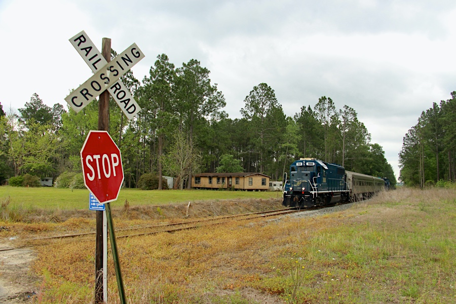
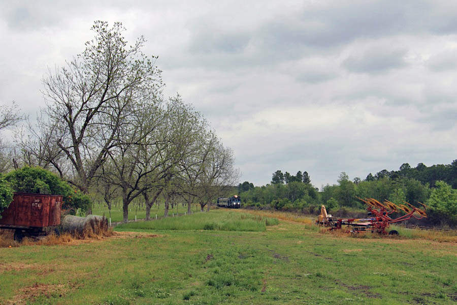
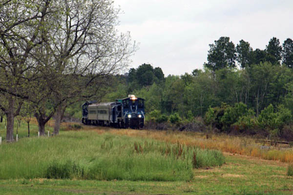
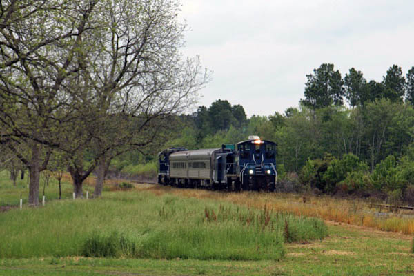
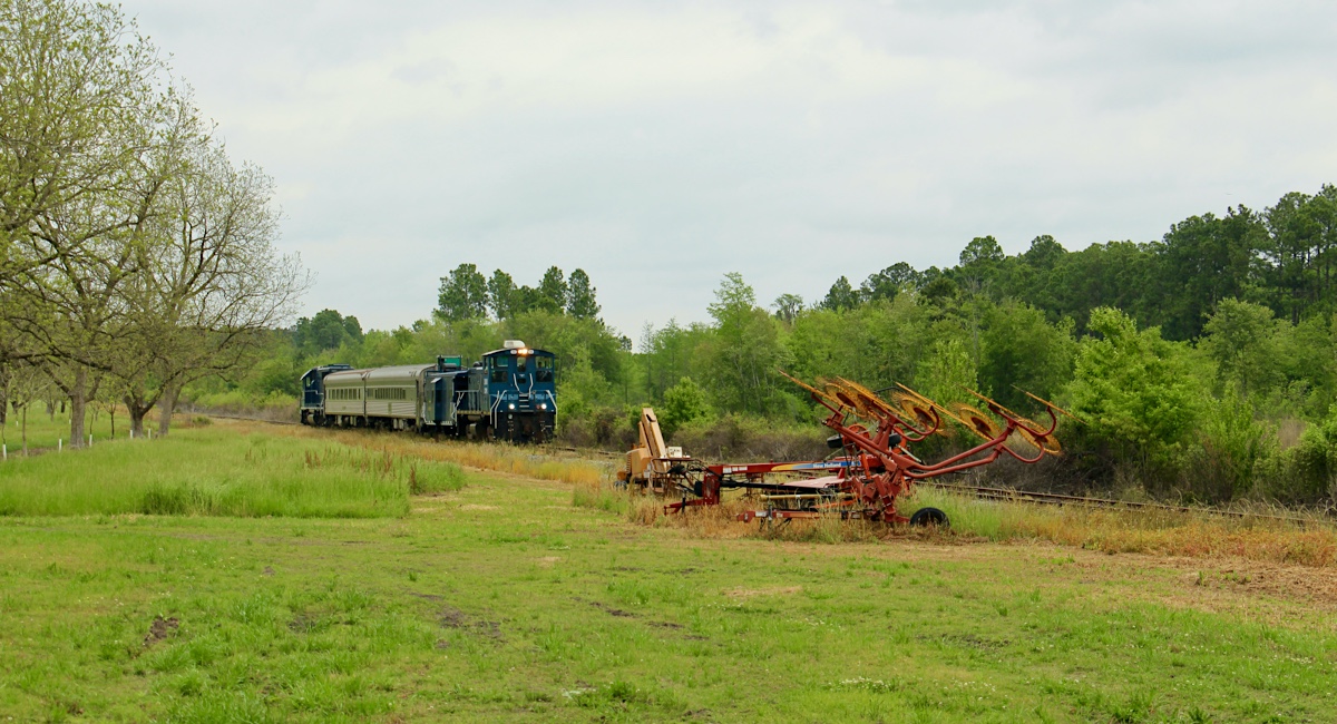
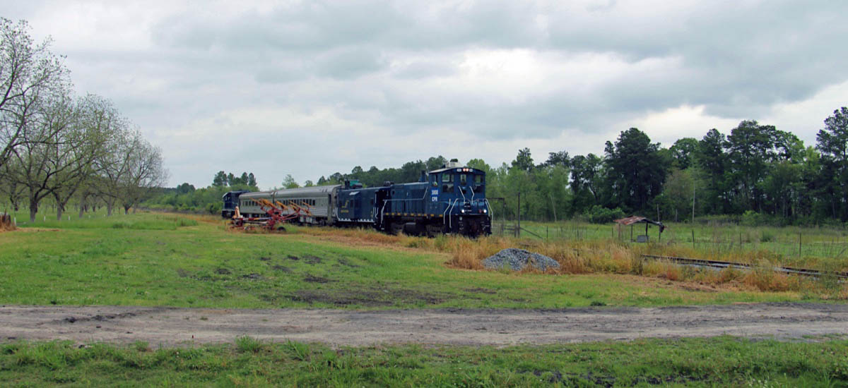
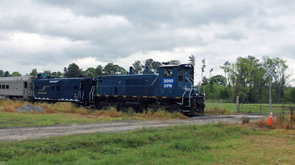
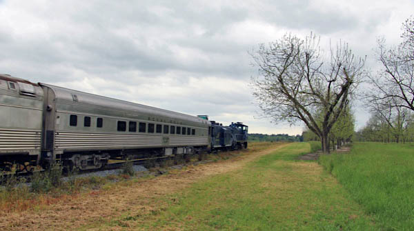
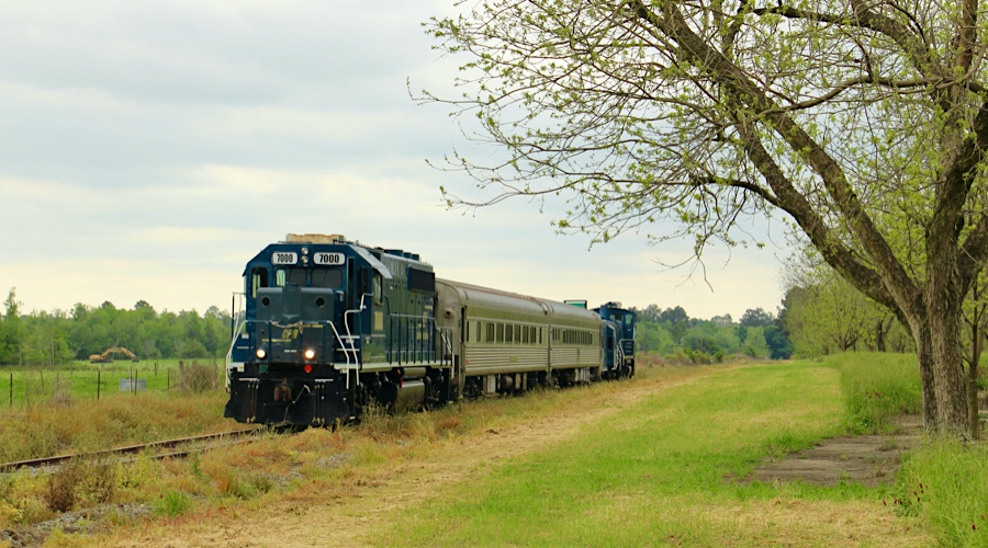
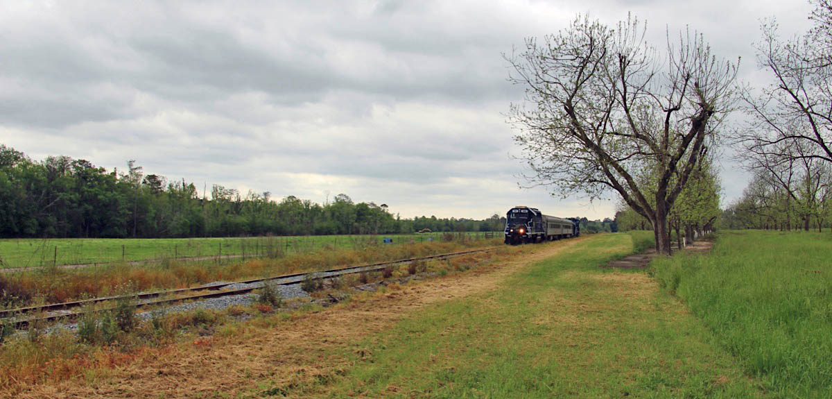
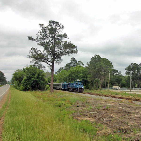
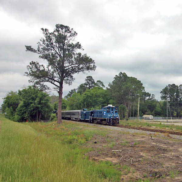
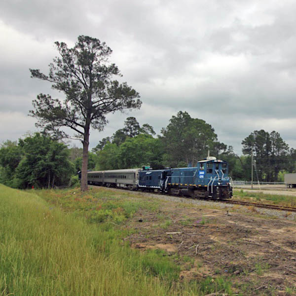
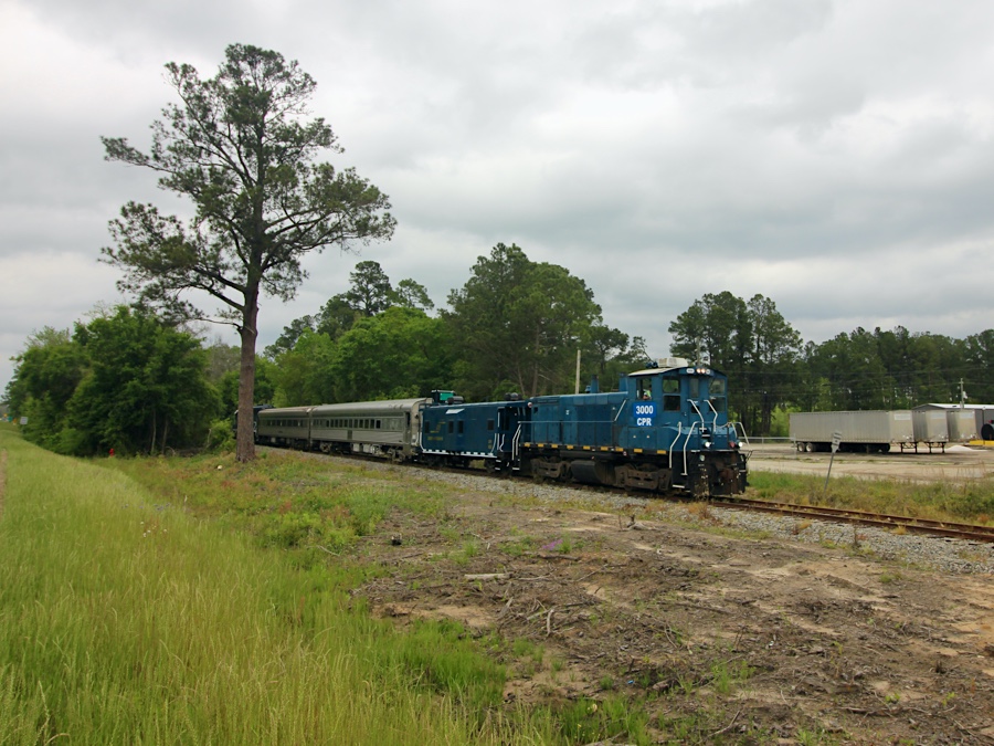
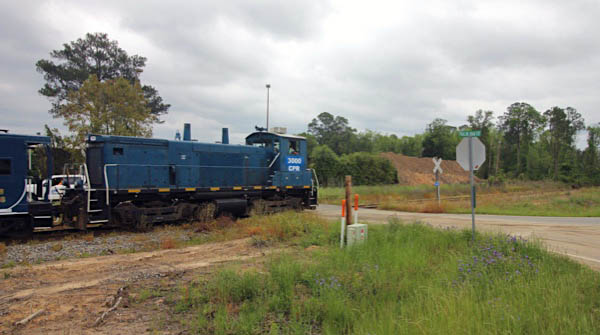
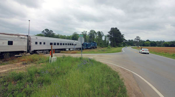
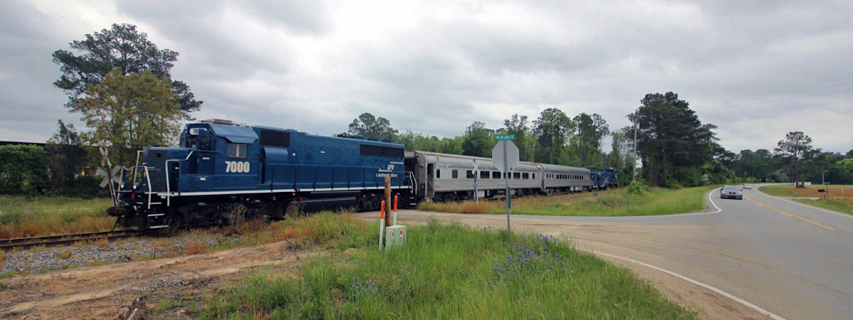
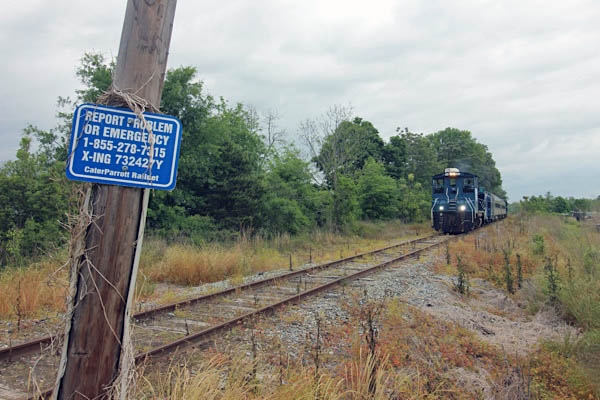
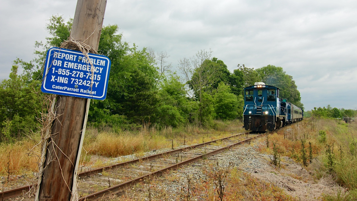
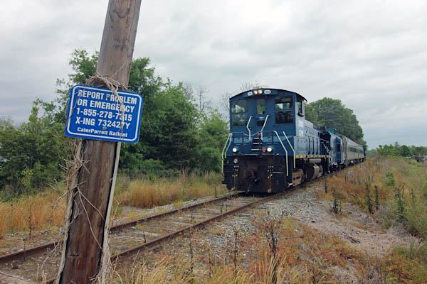
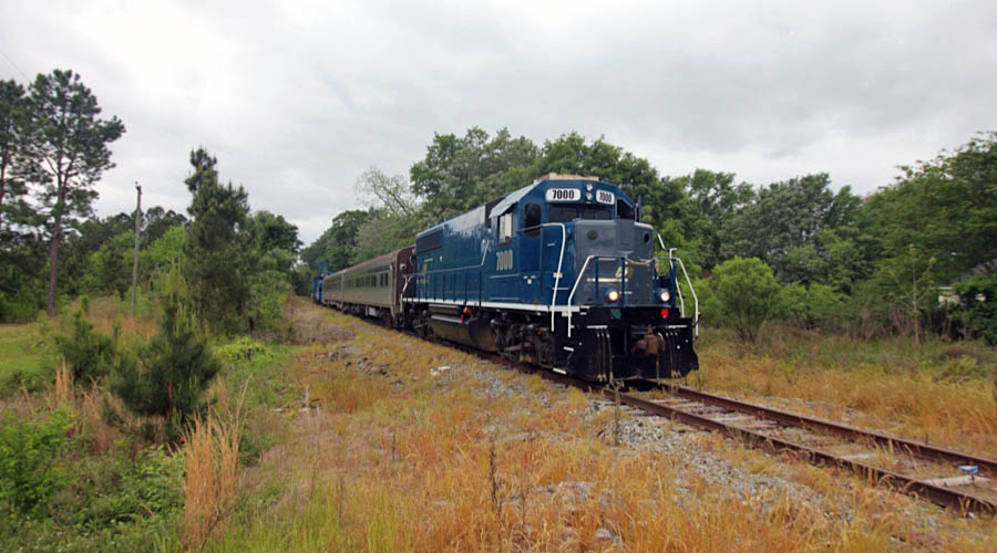
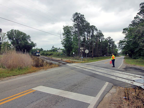
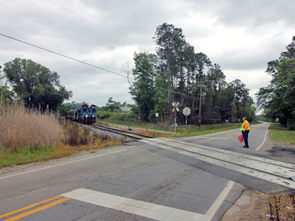
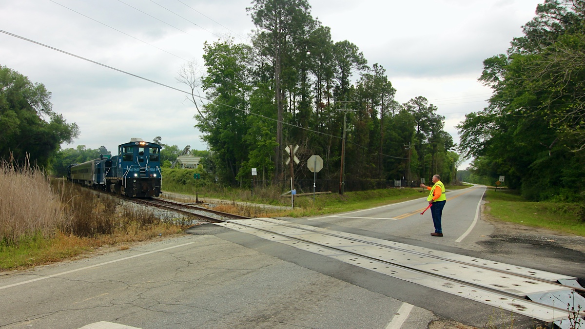
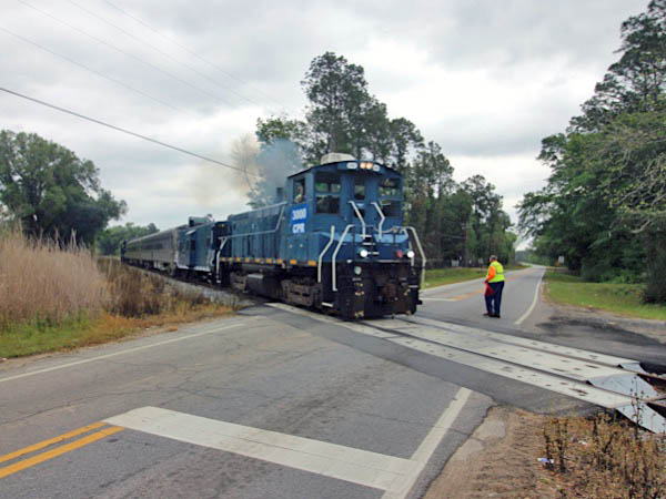
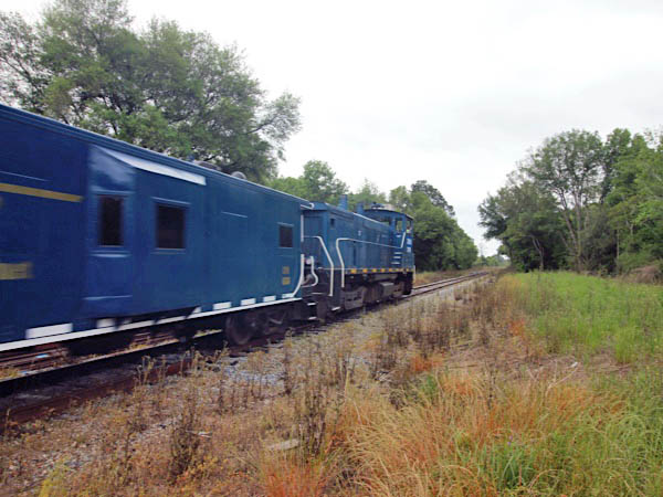
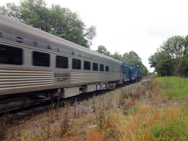
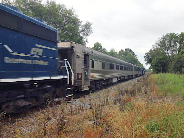
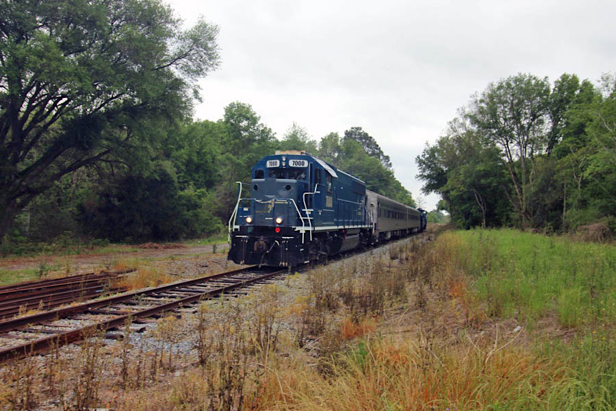
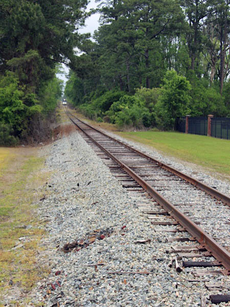
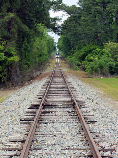
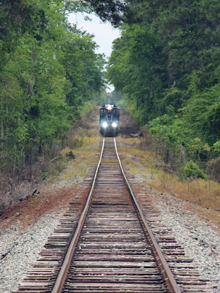
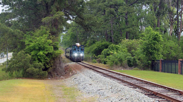
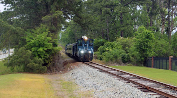
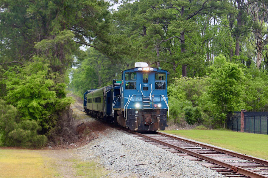
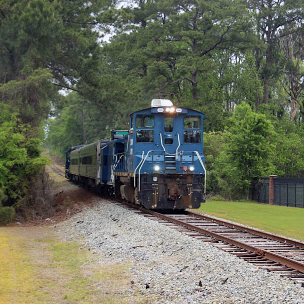
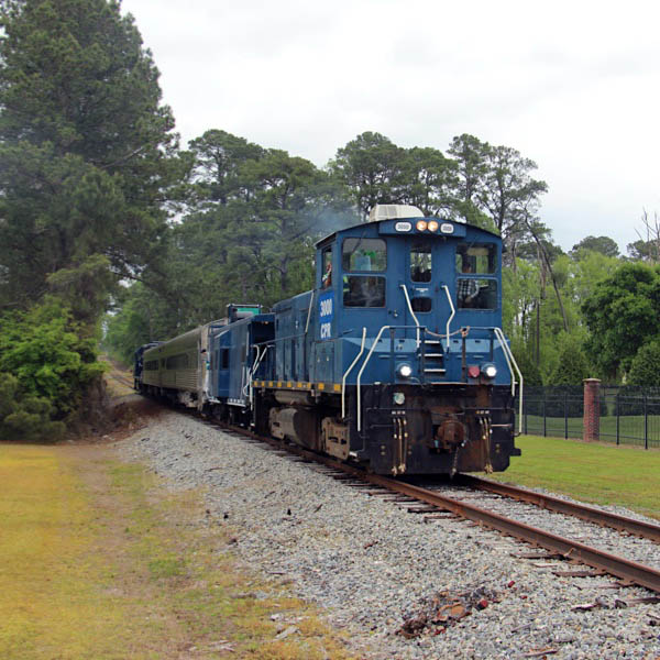
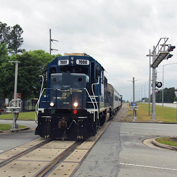
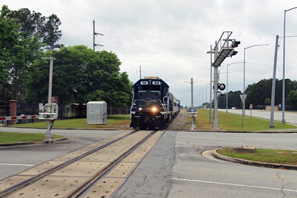
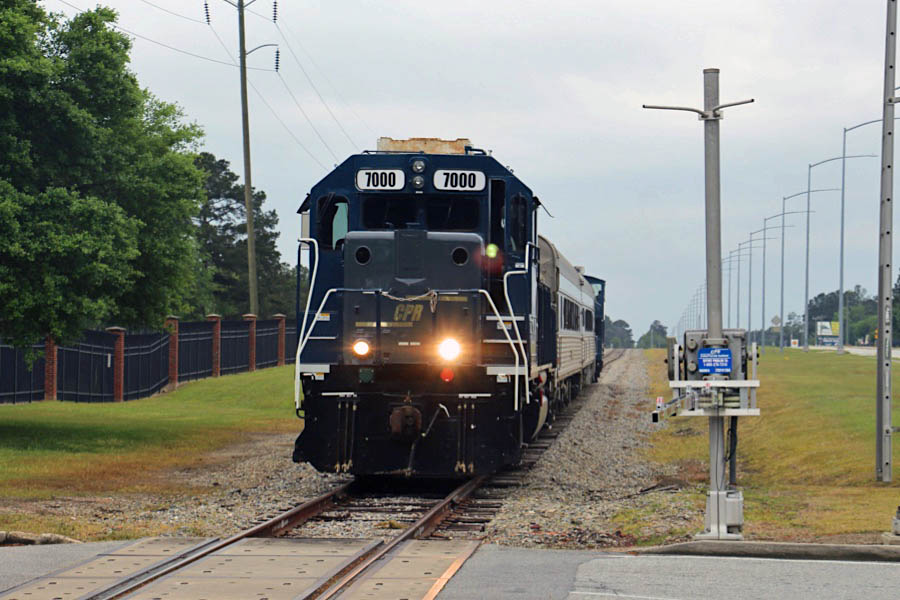
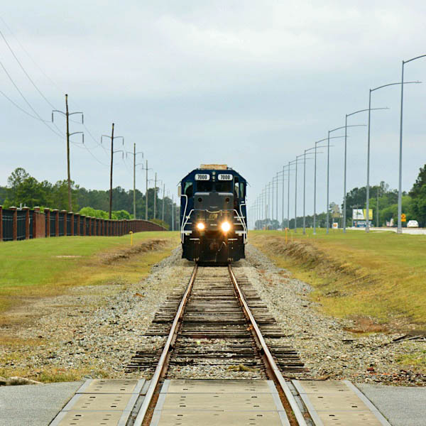
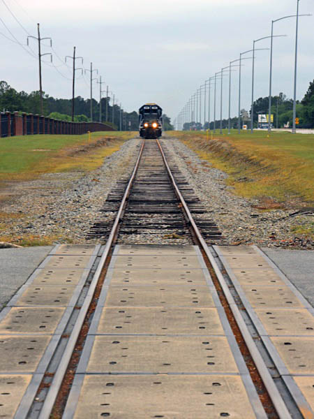
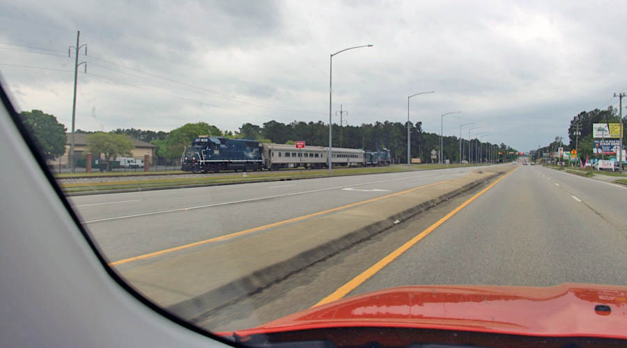
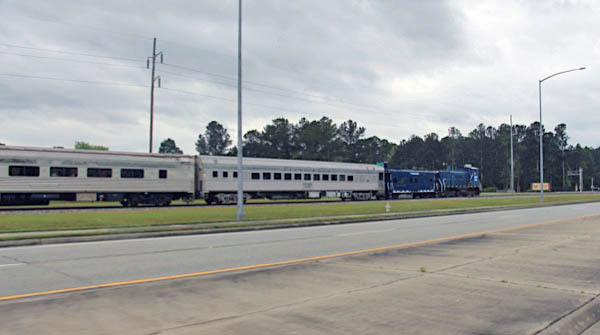
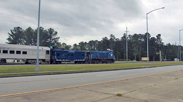
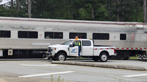
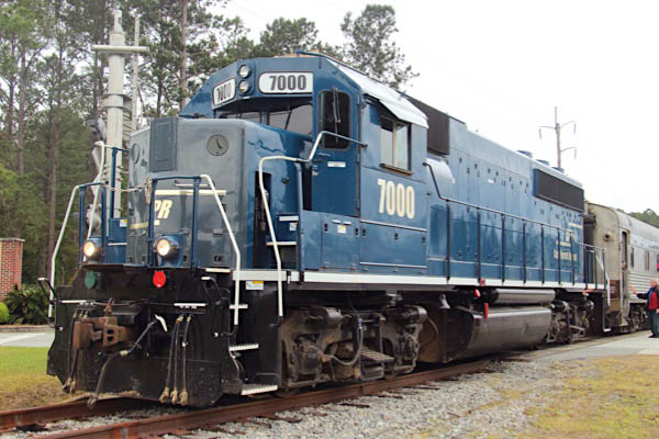
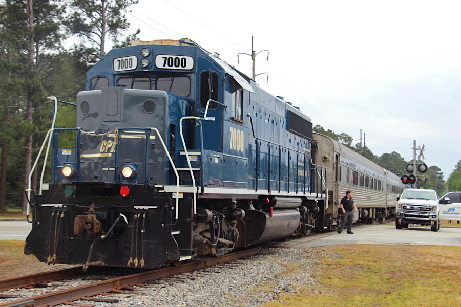
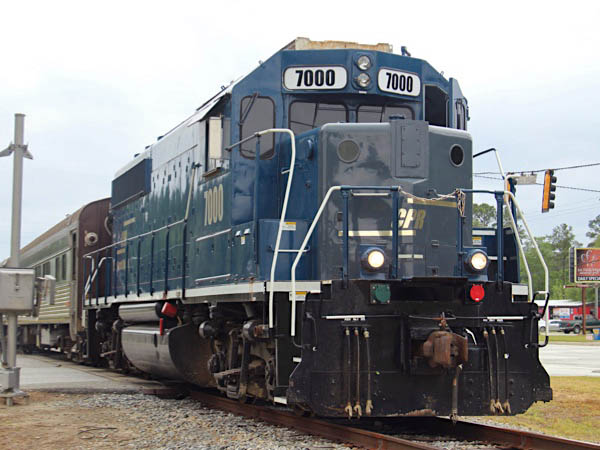
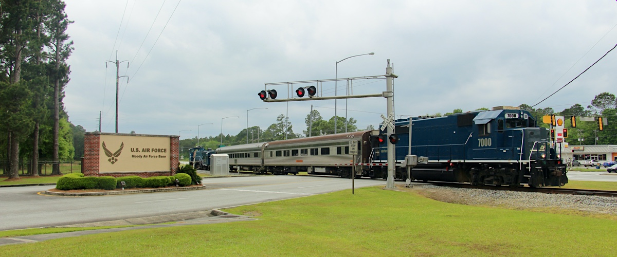
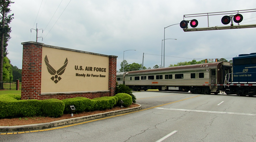
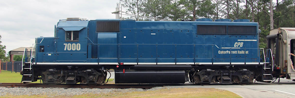
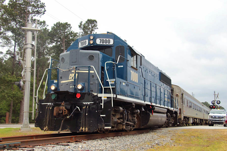
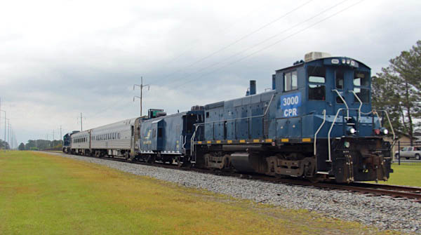
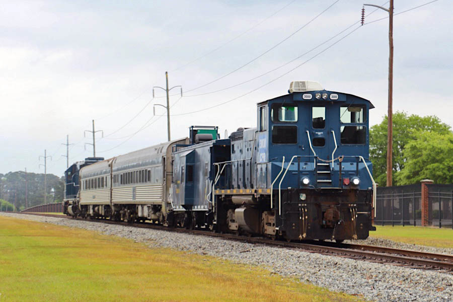
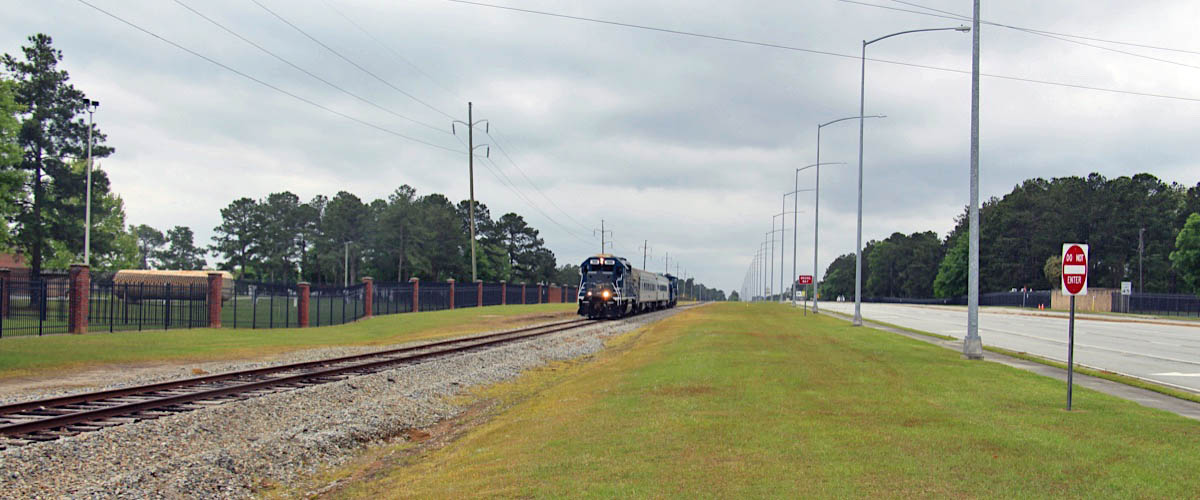
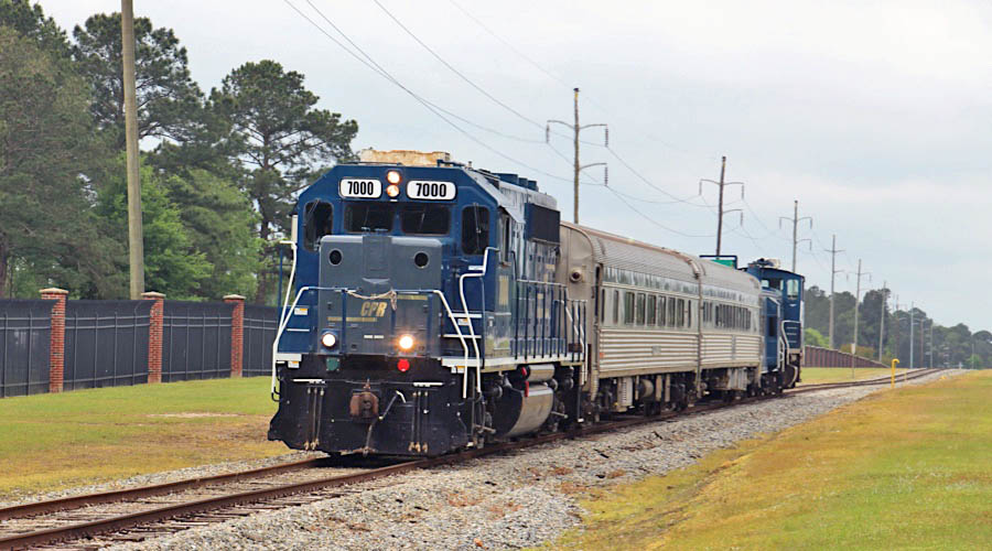
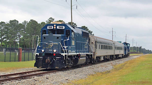
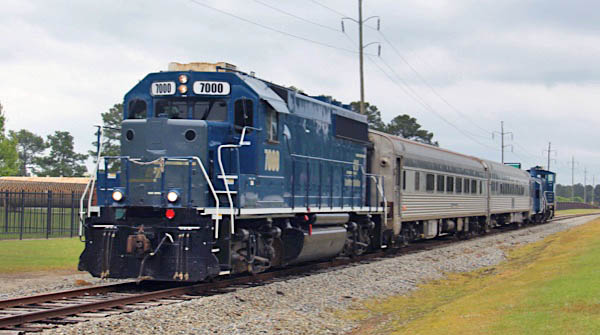
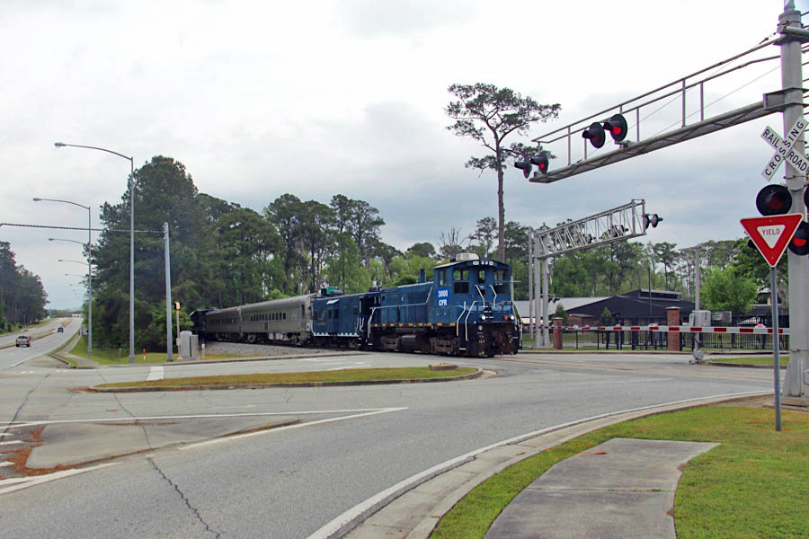
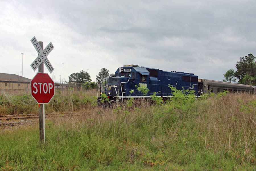
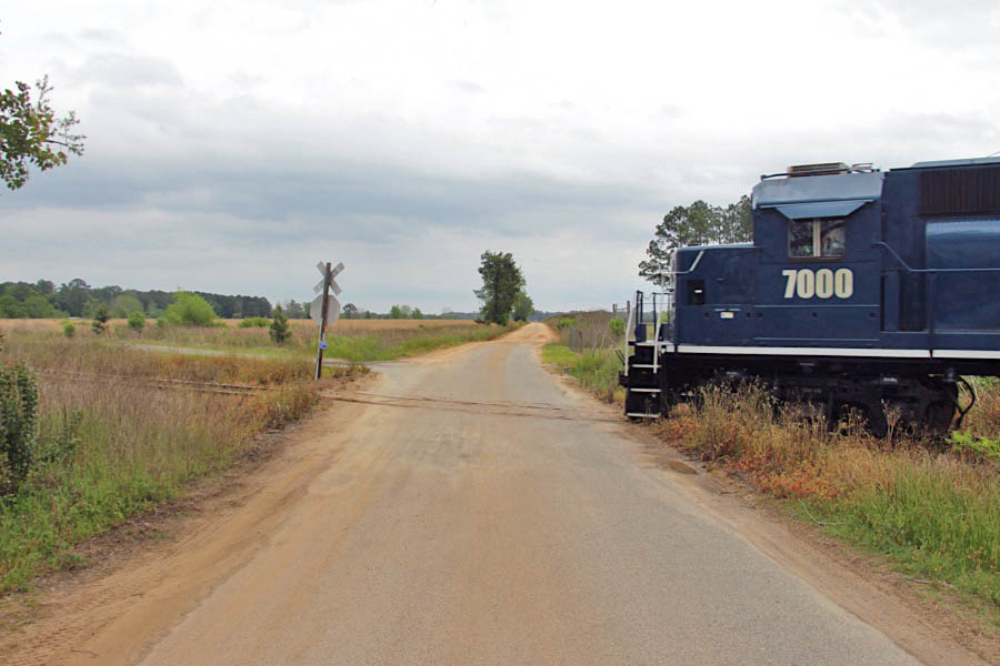
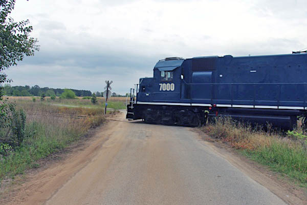
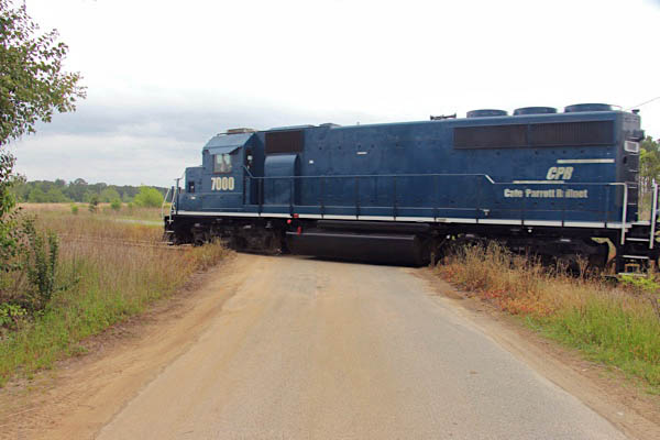
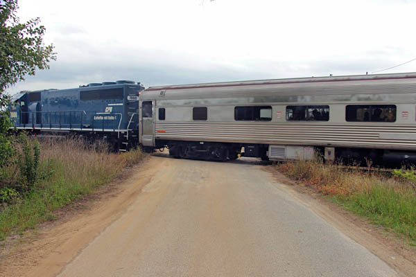
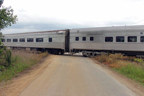
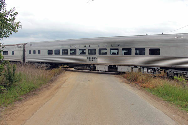
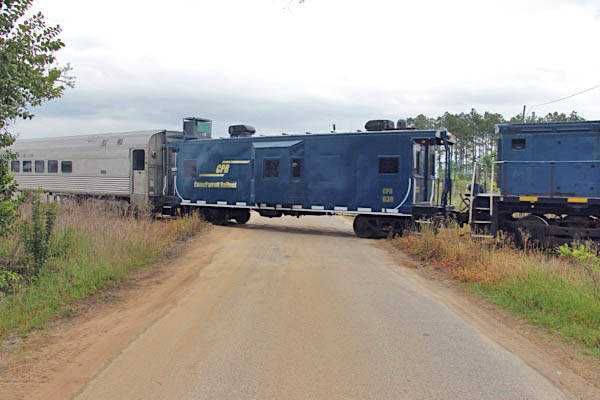
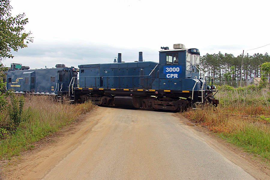
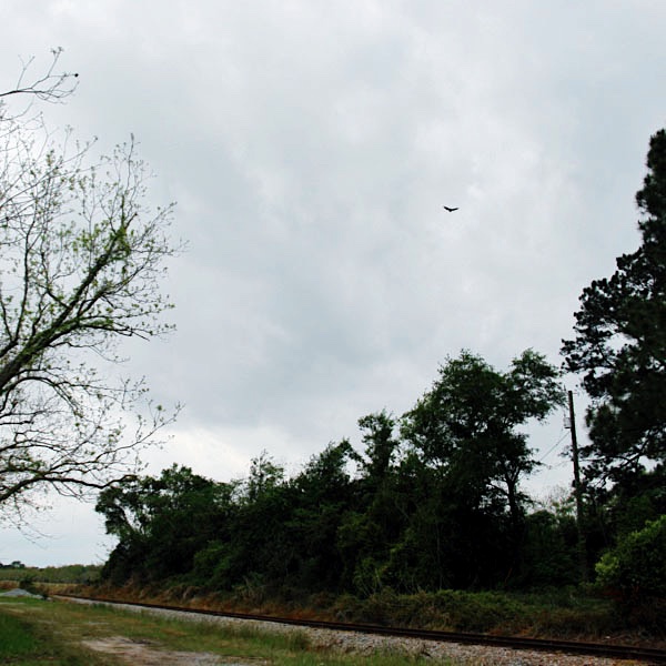
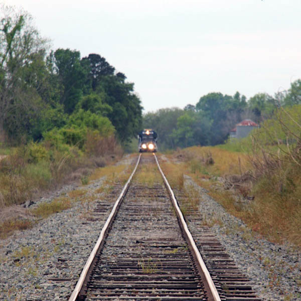
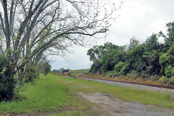
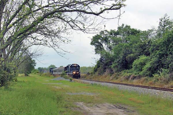
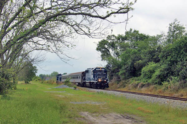
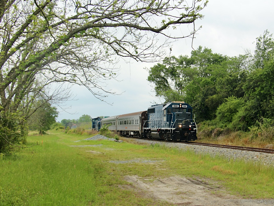
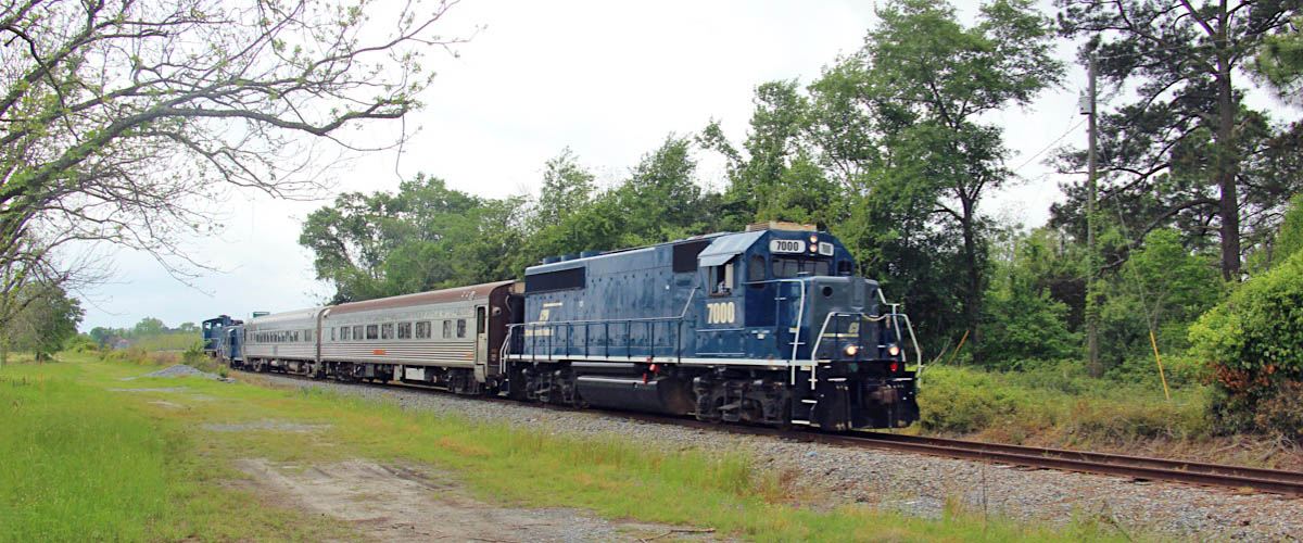
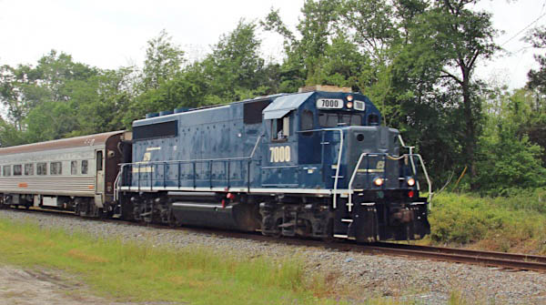
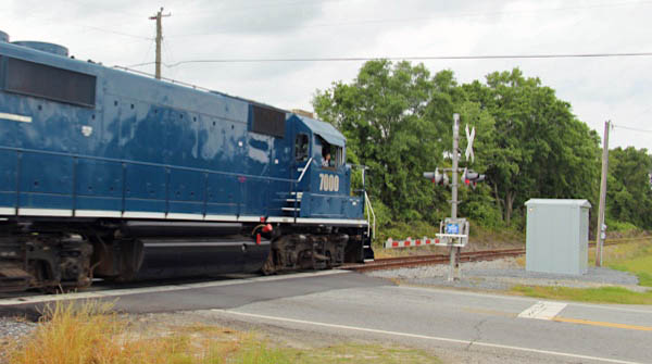
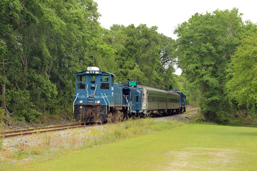
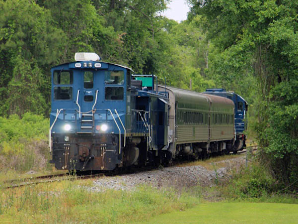
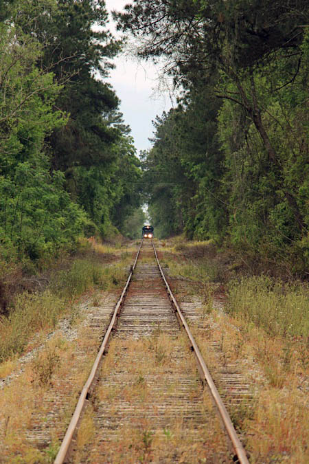
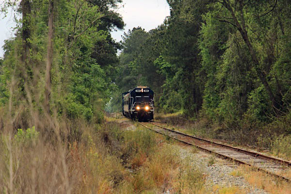
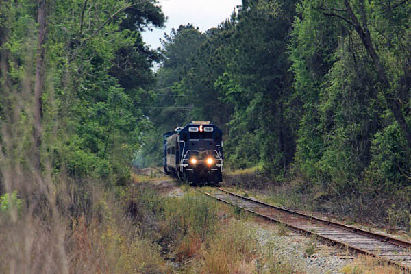
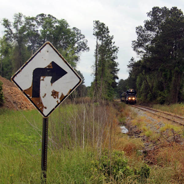
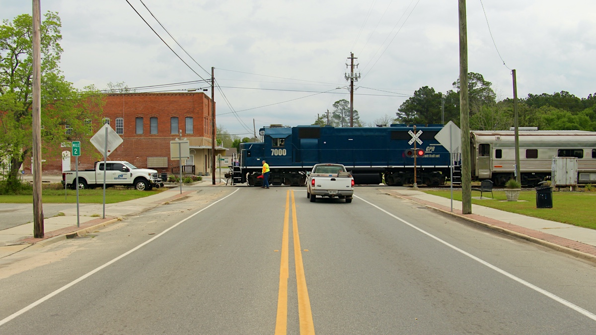
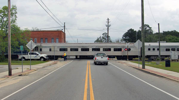
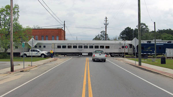
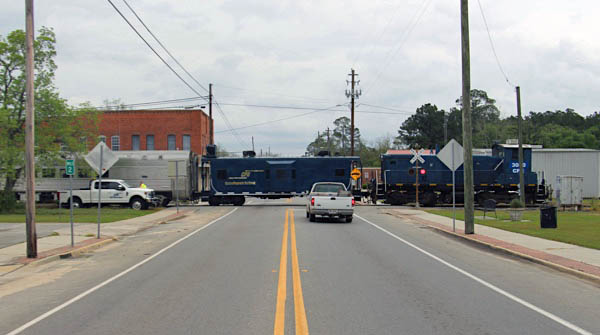
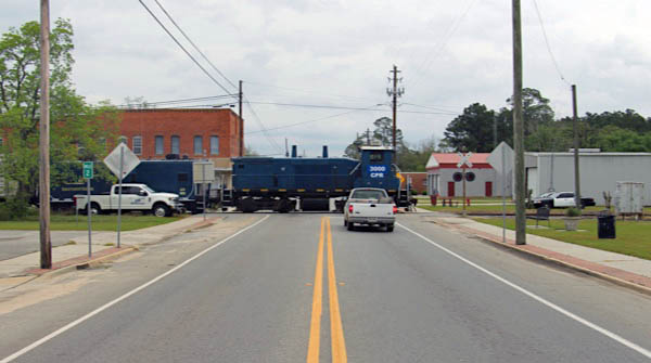
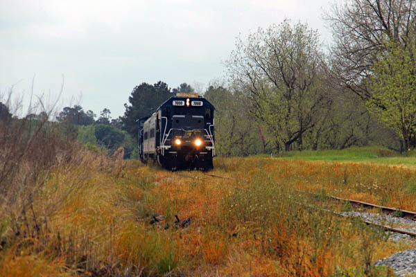
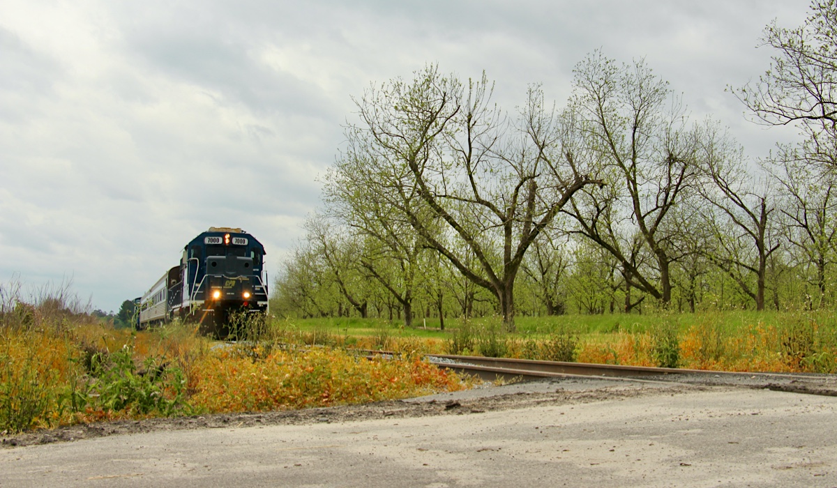
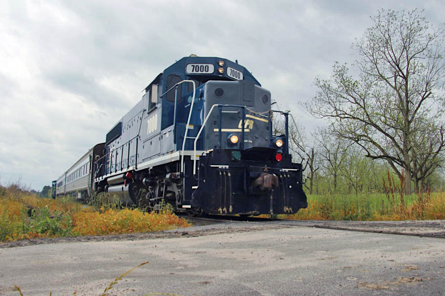
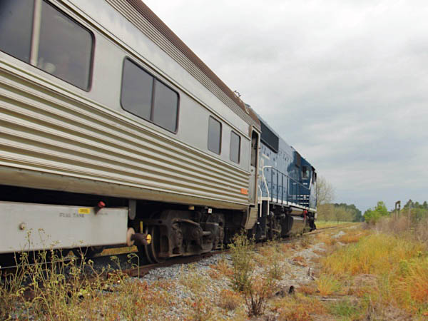
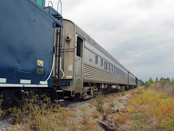
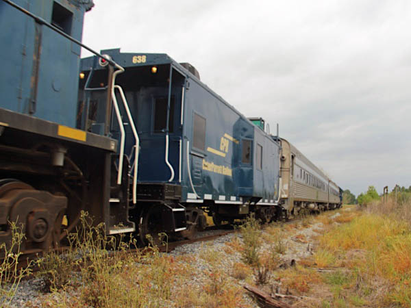
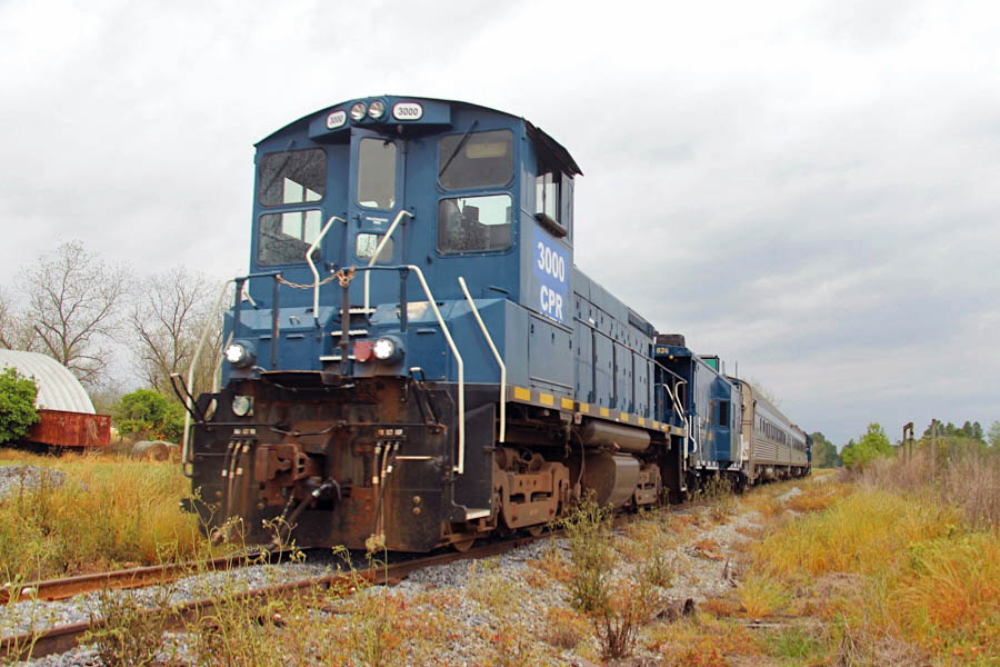
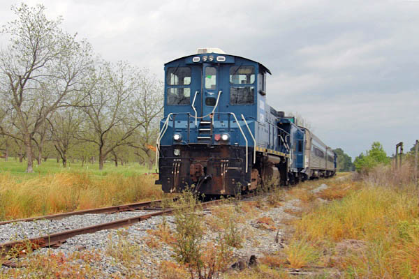
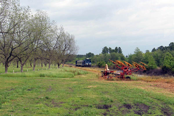
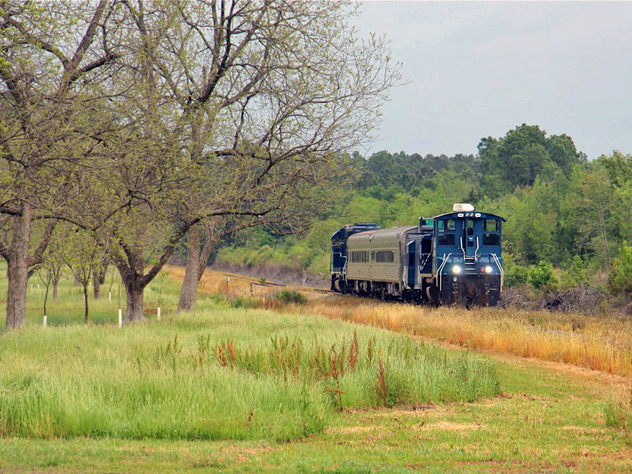
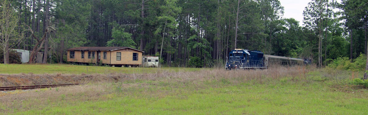
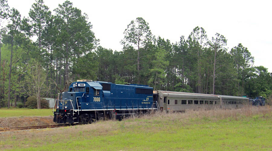
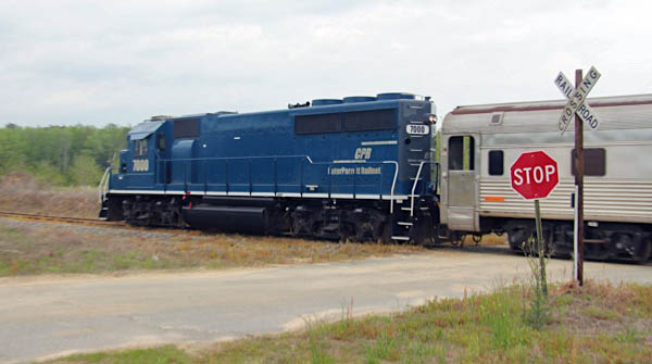
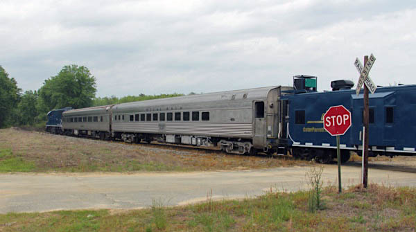
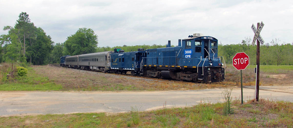
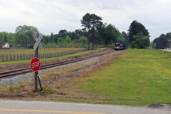
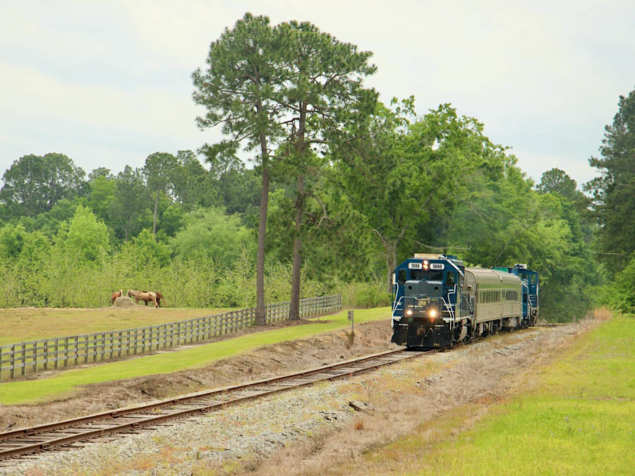
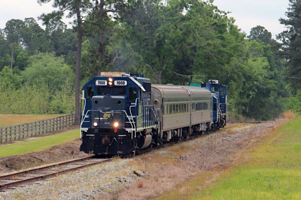
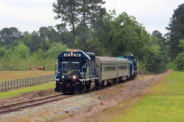
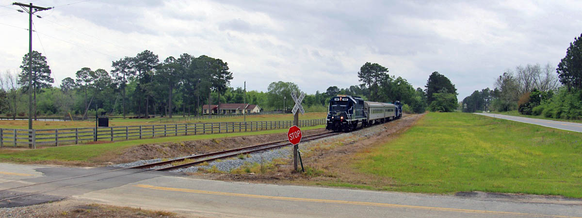
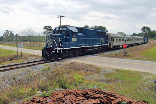
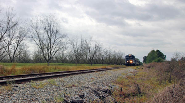
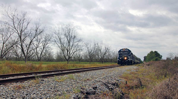
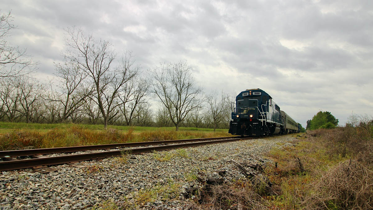
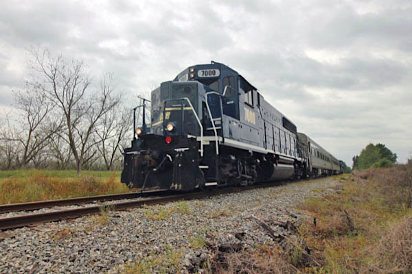
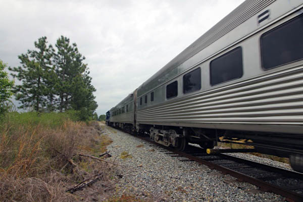
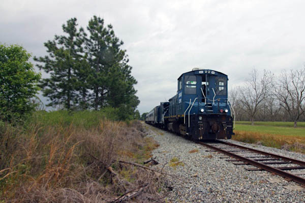
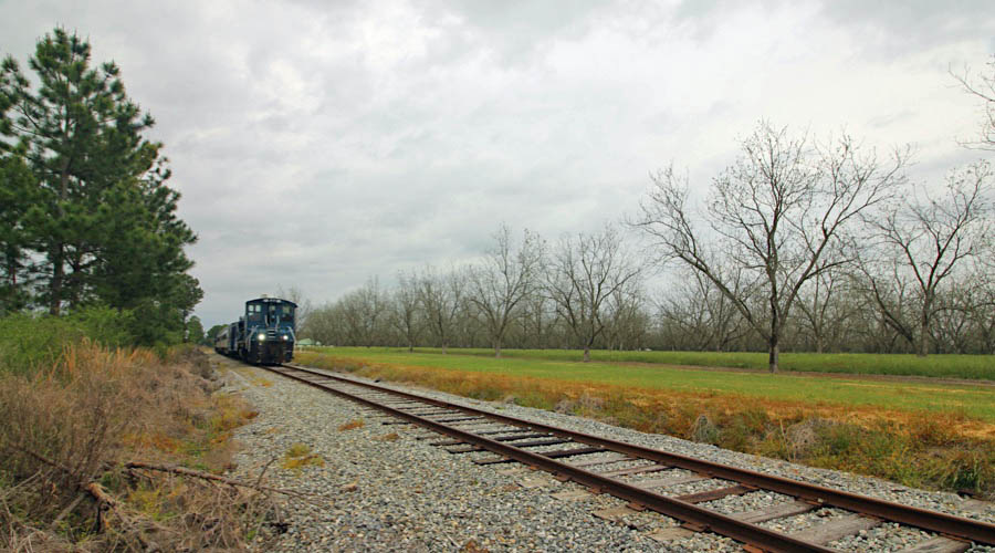
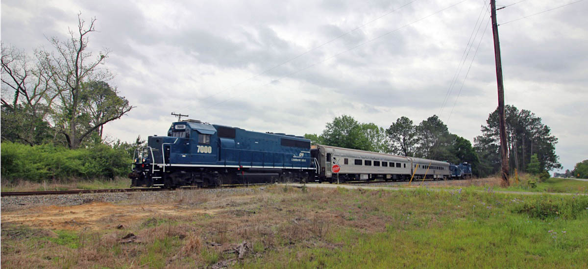
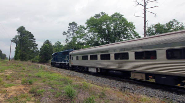
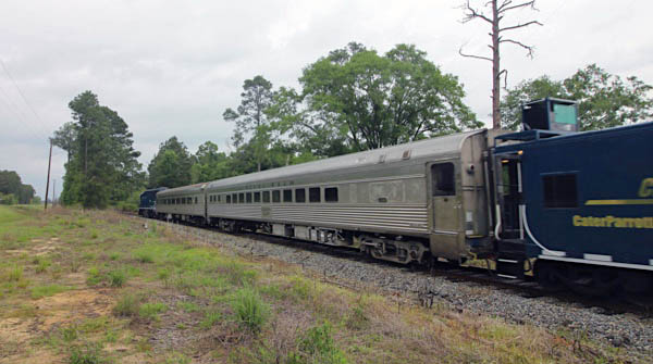
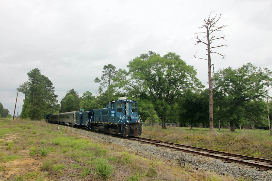
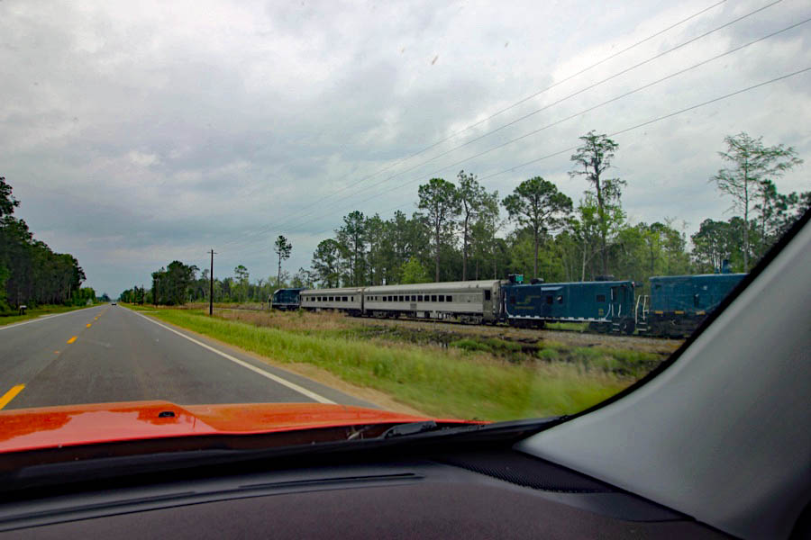
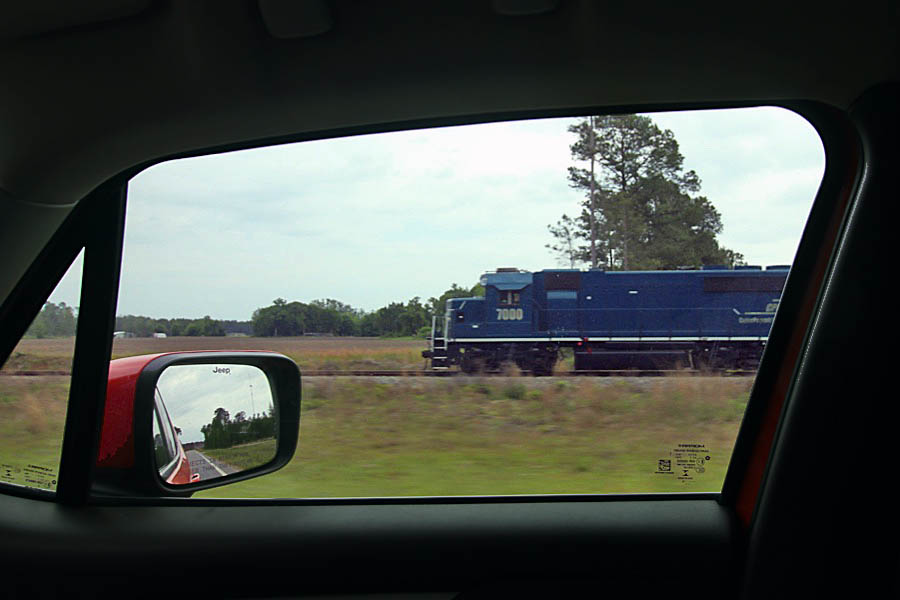
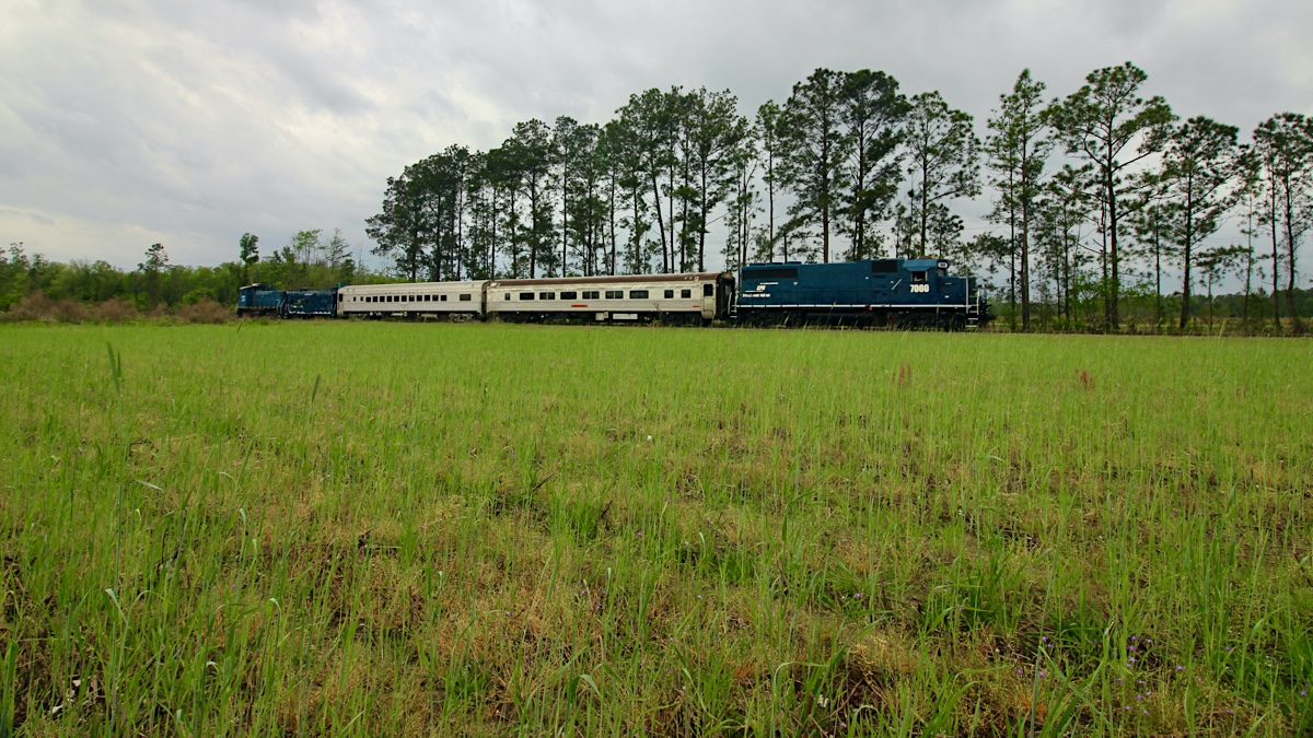
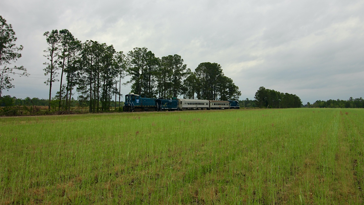
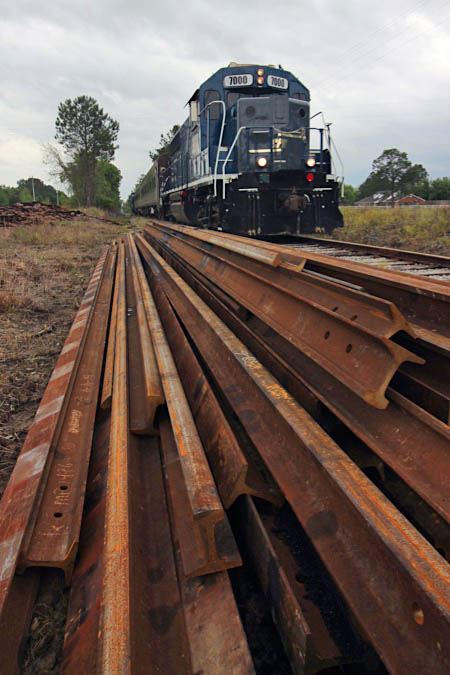
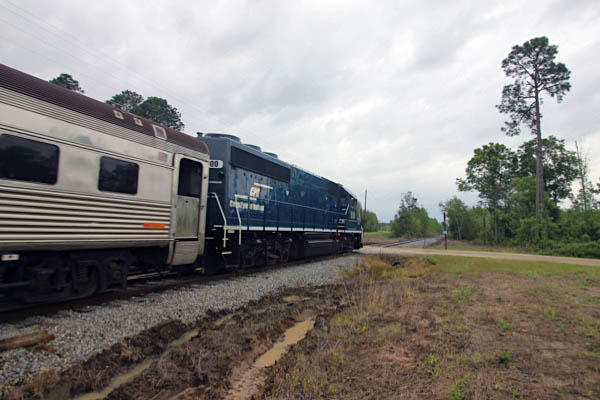
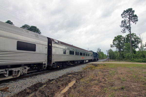
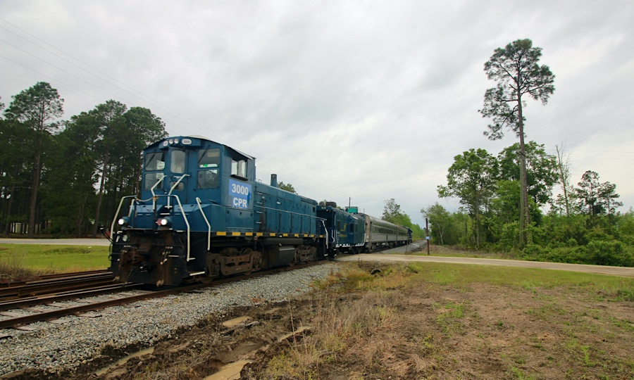
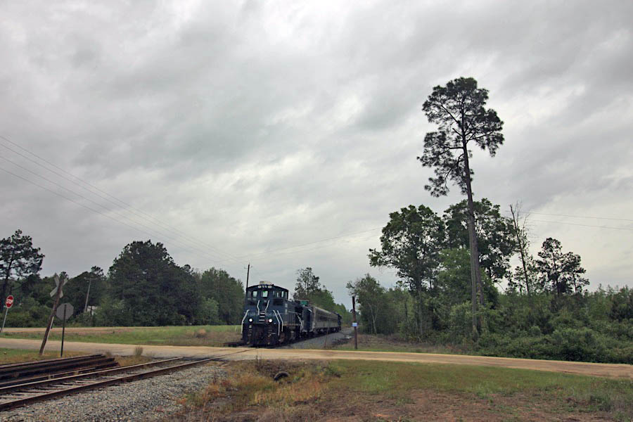
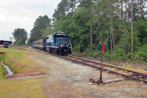
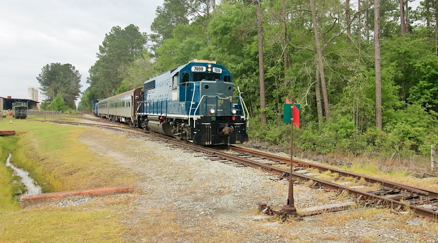
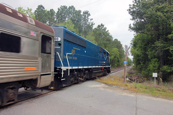
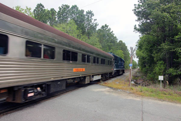
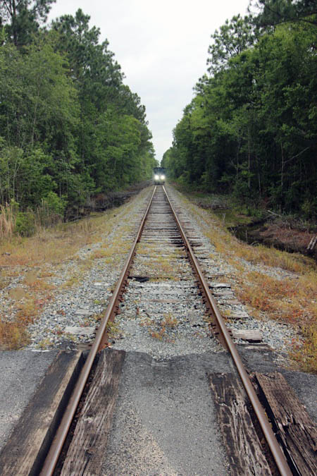
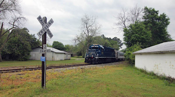
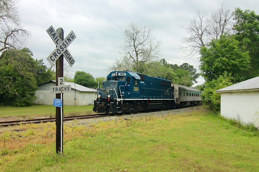
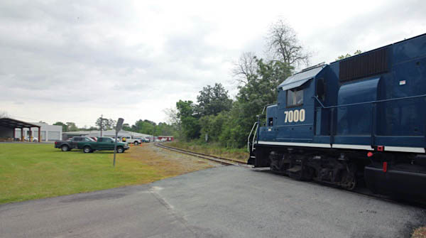
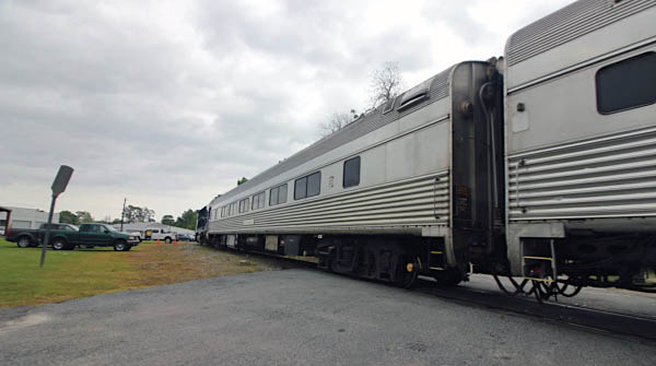
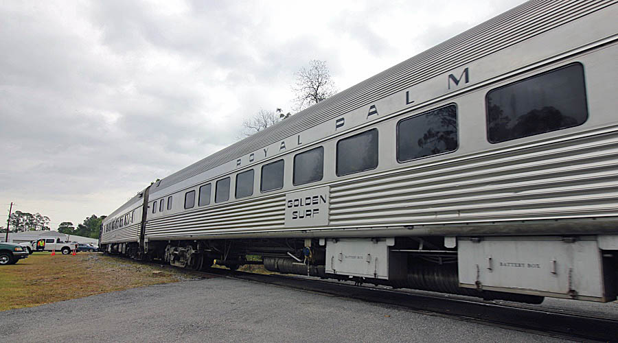
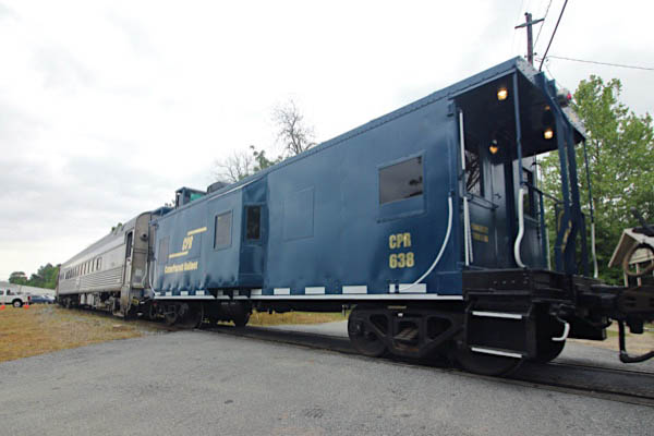
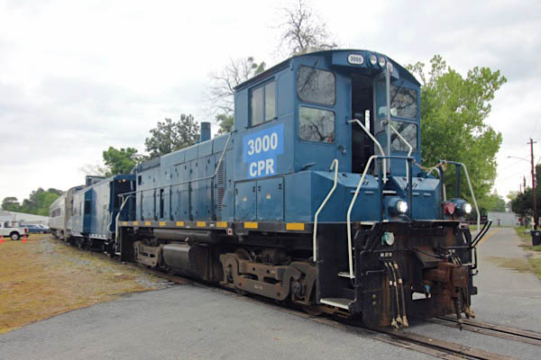
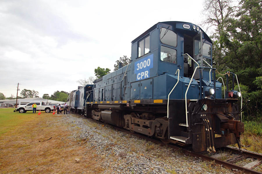
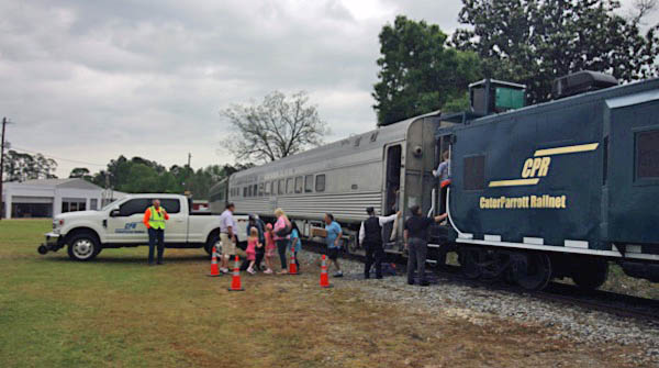
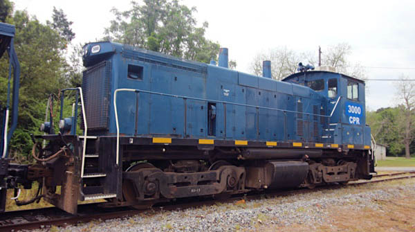
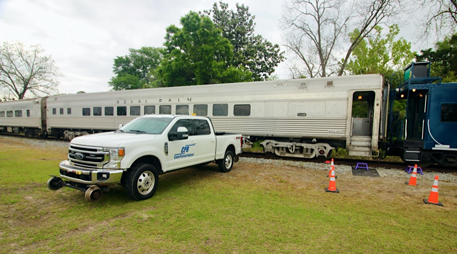
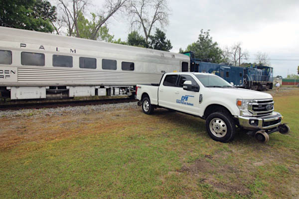
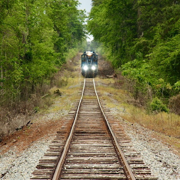 My second visit to the wonderful Azalea Sprinter was a Saturday all-day chase of two of CPR's tourist trips: the midday lunch run from Nashville down to Moody Air Force Base and back, and the afternoon run out to Willacoochee and back. The Moody run offered a pizza lunch for its passengers, the pizzas taken aboard in front of the base just south of Barretts, Georgia. This was my first experience of this line, a north-south segment of the old Georgia & Florida mainline to Augusta. The route is paralleled by US 129 and Georgia 125 nearly the entire way down from Nashville, so the Moody trip was a delight to chase. I know that most chasers would have preferred the northbound return with the Geep 40 up front — and #7000 did look terrific moving through the pecan orchards and soybean fields. But I'm a sucker for a end-cab SW1500, so I enjoyed meeting #3000 at nearly every crossing between Nashville and the base. Nice to know CPR saved another 1500 from a scrap line by making her a part of their roster. The Moody ride was a great chase!
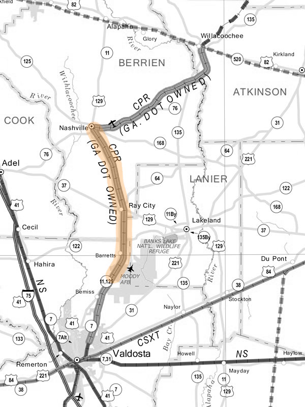
Moody route map / RWH
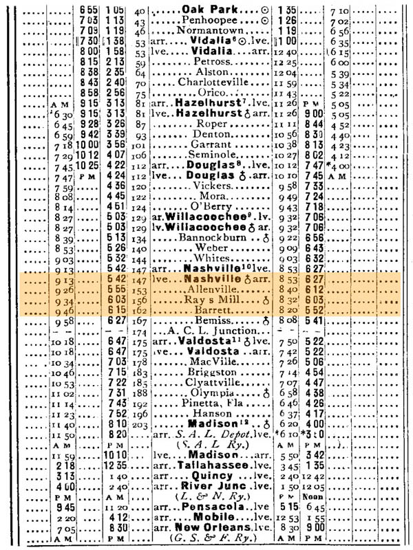
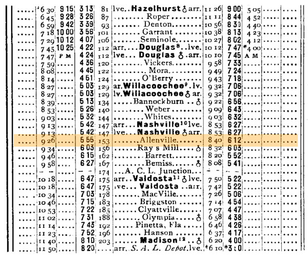
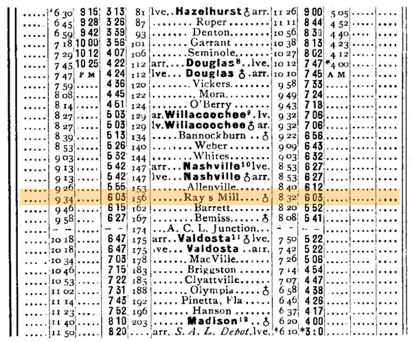
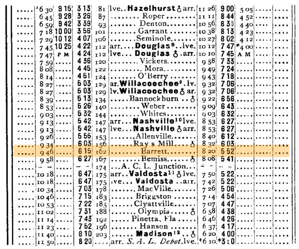
1910 Official Guide table / collection
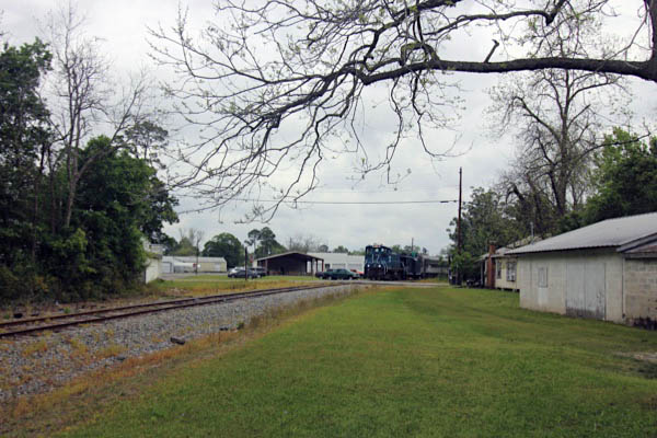
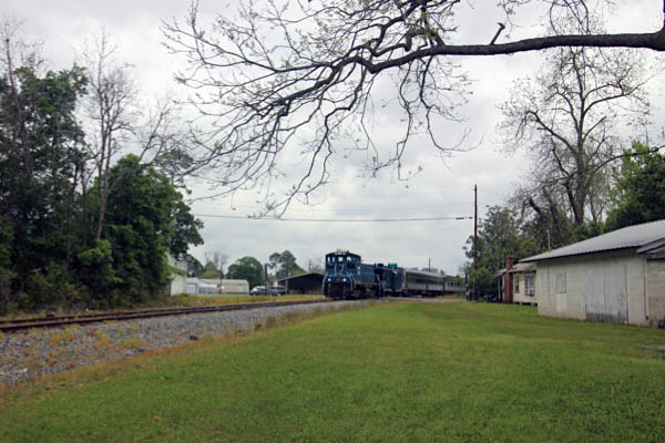
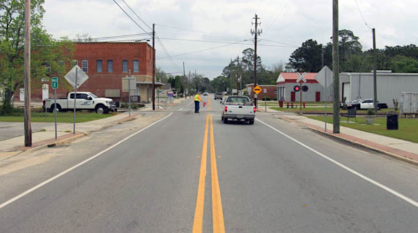
 Nashville
Nashville, Ga / Apr 2021 / RWH
Nashville, Ga / Apr 2021 / RWH
Nashville, Ga / Apr 2021 / RWH
Nashville, Ga / Apr 2021 / RWH
Nashville, Ga / Apr 2021 / RWH
Apr 2021 / RWH
Nashville, Ga / Apr 2021 / RWH
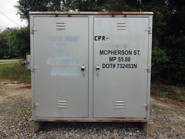
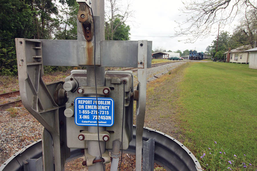
Click to see the Mcpherson Avenue crossing plotted on a Google Maps page
Nashville, Ga / Apr 2021 / RWH
Nashville, Ga / Apr 2021 / RWH
Nashville, Ga / Apr 2021 / RWH
Nashville, Ga / Apr 2021 / RWH
Nashville, Ga / Apr 2021 / RWH
Click to see the Vickers Road crossing plotted on a Google Maps page
Nashville, Ga / Apr 2021 / RWH
Nashville, Ga / Apr 2021 / RWH
Nashville, Ga / Apr 2021 / RWH
Nashville, Ga / Apr 2021 / RWH
Nashville, Ga / Apr 2021 / RWH
Nashville, Ga / Apr 2021 / RWH
Nashville, Ga / Apr 2021 / RWH
Click to see the Tucker Road crossing plotted on a Google Maps page
Nashville, Ga / Apr 2021 / RWH
Nashville, Ga / Apr 2021 / RWH
Nashville, Ga / Apr 2021 / RWH
Nashville, Ga / Apr 2021 / RWH
Nashville, Ga / Apr 2021 / RWH
 Route 129 chase
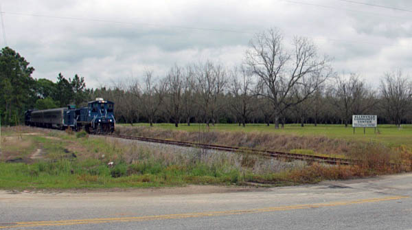
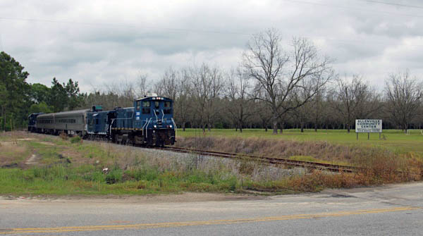
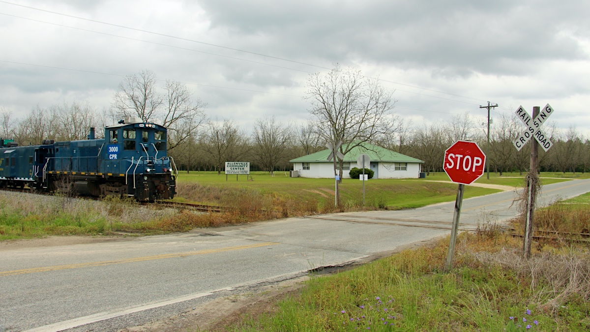
Allenville, Ga / Apr 2021 / RWH
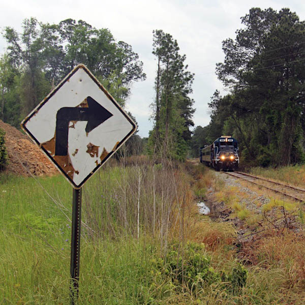
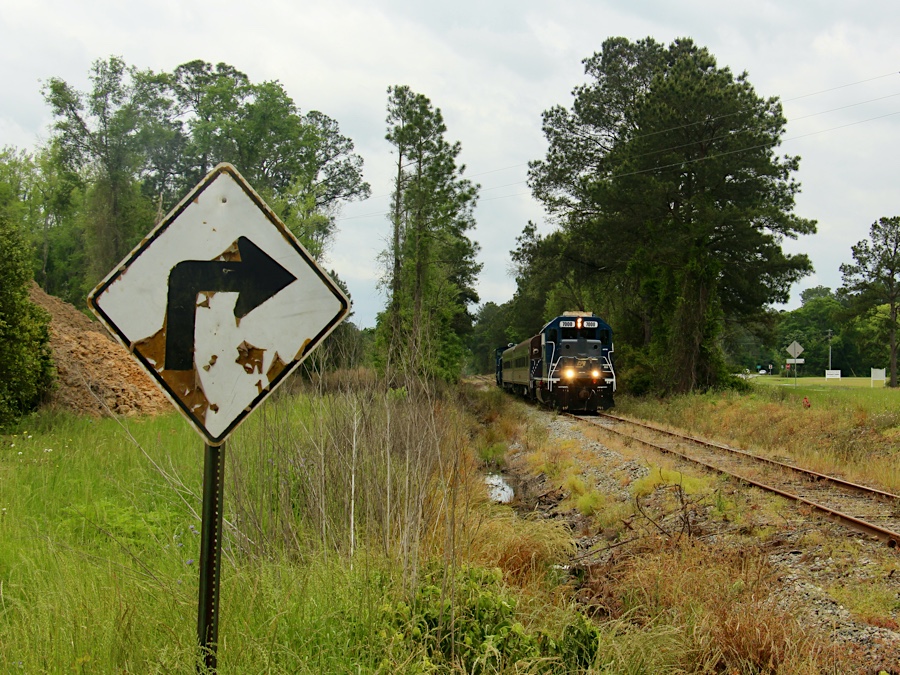
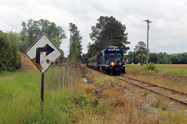
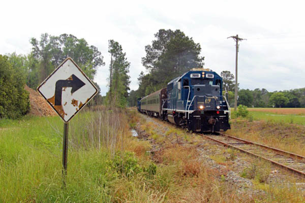
Click to see the Country Road crossing plotted on a Google Maps page
Allenville, Ga / Apr 2021 / RWH
Allenville, Ga / Apr 2021 / RWH
Allenville, Ga / Apr 2021 / RWH
Allenville, Ga / Apr 2021 / RWH
Allenville, Ga / Apr 2021 / RWH
Allenville, Ga / Apr 2021 / RWH
Allenville, Ga / Apr 2021 / RWH
Allenville, Ga / Apr 2021 / RWH
Allenville, Ga / Apr 2021 / RWH
Allenville, Ga / Apr 2021 / RWH
Allenville, Ga / Apr 2021 / RWH
Allenville, Ga / Apr 2021 / RWH
Allenville, Ga / Apr 2021 / RWH
Allenville, Ga / Apr 2021 / RWH
Allenville
1910 Official Guide / collection
Allenville, Ga / Apr 2021 / RWH
Click to see the Allenville Road crossing plotted on a Google Maps page
Allenville, Ga / Apr 2021 / RWH
Allenville, Ga / Apr 2021 / RWH
Allenville, Ga / Apr 2021 / RWH
Allenville, Ga / Apr 2021 / RWH
Allenville, Ga / Apr 2021 / RWH
Apr 2021 / RWH
Allenville, Ga / Apr 2021 / RWH
Click to see the Sirmans Road crossing plotted on a Google Maps page
Allenville, Ga / Apr 2021 / RWH

Allenville, Ga / Apr 2021 / RWH
Allenville, Ga / Apr 2021 / RWH
Allenville, Ga / Apr 2021 / RWH
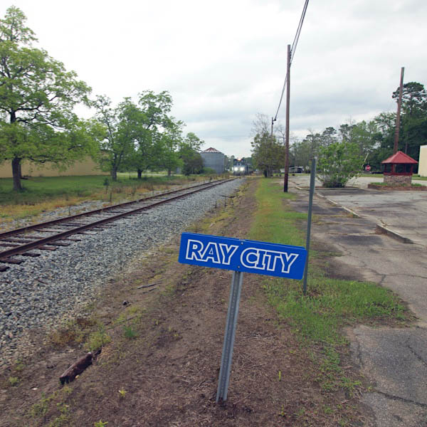
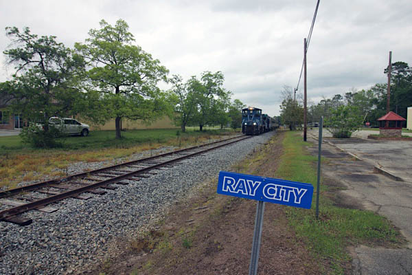
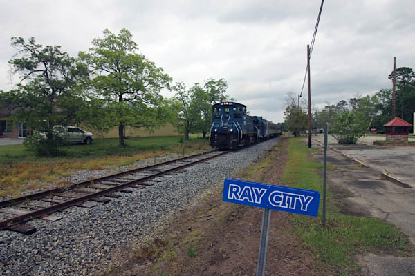
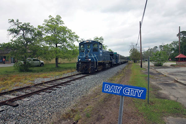
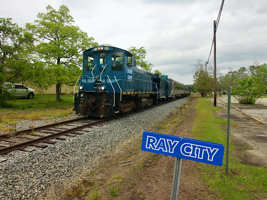
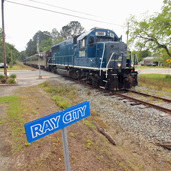
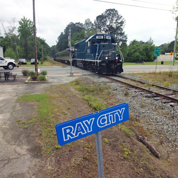
Ray City
Apr 2021 / RWH
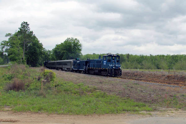
Ray City, Ga / Apr 2021 / RWH
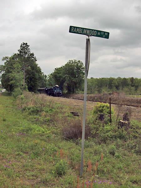
Click to see the Ramblinwood Road crossing plotted on a Google Maps page
Ray City, Ga / Apr 2021 / RWH
Ray City, Ga / Apr 2021 / RWH
Ray City, Ga / Apr 2021 / RWH
Ray City, Ga / Apr 2021 / RWH
Ray City, Ga / Apr 2021 / RWH
Ray City, Ga / Apr 2021 / RWH
Ray City, Ga / Apr 2021 / RWH
Ray City, Ga / Apr 2021 / RWH
Ray City, Ga / Apr 2021 / RWH
Ray City, Ga / Apr 2021 / RWH
Ray City, Ga / Apr 2021 / RWH
Ray City, Ga / Apr 2021 / RWH
Ray City, Ga / Apr 2021 / RWH

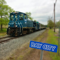
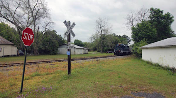
 Ray City, which was formally named Ray's Mill, was located about one mile East of the present town on Ray's Mill Pond. Ray's Mill was named for Thomas M. Ray and retained that name for several years. The mill was operated by water from the pond and was used to grind meal and hominy grits from corn. Mr. Thomas Ray operated the mill until the time of his death. At one time, the mill was the gathering place of the community, where the men would take their corn to be ground. In 1909, Perry T. Knight, State Representative from Berrian County, introduced a bill to change the town's name to Ray City. The bill became a law on August 16, 1909 and Ray City became incorporated.
A business which contributed much to the new town of Ray City was the Luckie Lumber Company. It was located about one mile north of town on the rail line. There was a whistle stop by the name of Luckie. At the height of the mill's operation, tram railroads were build all over the area and were used for hauling logs to the mill where they were sawed into lumber. During the years of heavy rail traffic, the cutting of cross ties was a very lucrative business. The ties were used in the lying and maintenance of rail beds. They were hand hewn from cypress, which grew in the area.
The Great Depression had a devastating affect on Ray City. It suffered losses of many of its' businesses and its' people. As it sank deeper into economic depression, the passenger trains were discontinued and the depot was closed. Many buildings were torn down, however because of their faith, Ray City was saved.
The opening of Moody Air Force Base provided many badly needed jobs and helped restore Ray City's economic base. Not only has the base provided jobs for local civilians, but the military personnel assigned there, have been an added boost to the area. Many of the military families have chosen to live in Ray City permanently after their retirement.
1910 Official Guide / collection
Ray City, Ga / Apr 2021 / RWH
Click to see the Main Street crossing area plotted on a Google Maps page

Ray City, Ga / Apr 2021 / RWH
Ray City, Ga / Apr 2021 / RWH
Ray City, Ga / Apr 2021 / RWH
Ray City, Ga / Apr 2021 / RWH
Ray City, Ga / Apr 2021 / RWH
Ray City, Ga / Apr 2021 / RWH
Click to see the Pauline Avenue crossing plotted on a Google Maps page
Ray City, Ga / Apr 2021 / RWH
Ray City, Ga / Apr 2021 / RWH
Ray City, Ga / Apr 2021 / RWH
Ray City, Ga / Apr 2021 / RWH
northbound / Ray City, Ga / Apr 2021 / RWH
southbound / Ray City, Ga / Apr 2021 / RWH
Ray City, Ga / Apr 2021 / RWH
Click to see the Smith Dairy Road crossing plotted on a Google Maps page
Ray City, Ga / Apr 2021 / RWH
Ray City, Ga / Apr 2021 / RWH
Ray City, Ga / Apr 2021 / RWH
Ray City, Ga / Apr 2021 / RWH
Ray City, Ga / Apr 2021 / RWH
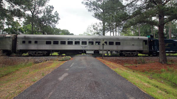
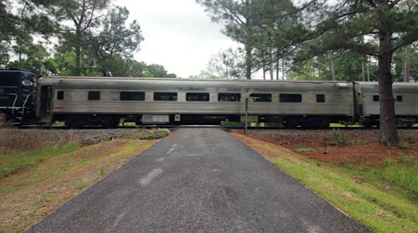
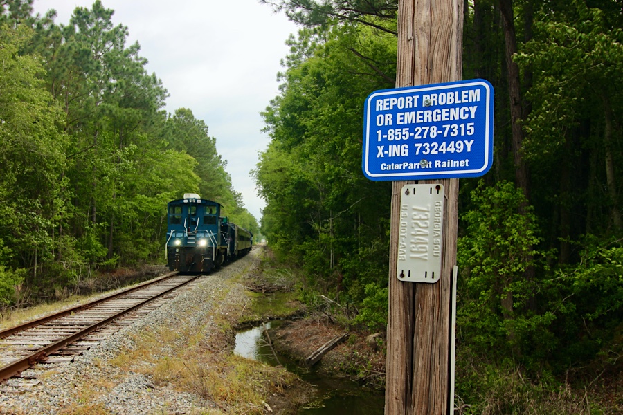
Barretts
1910 Official Guide / collection
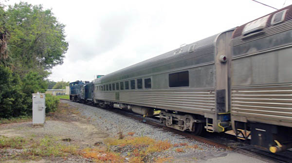
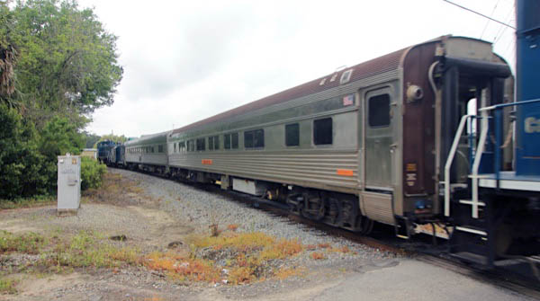
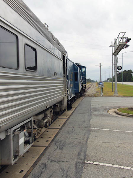
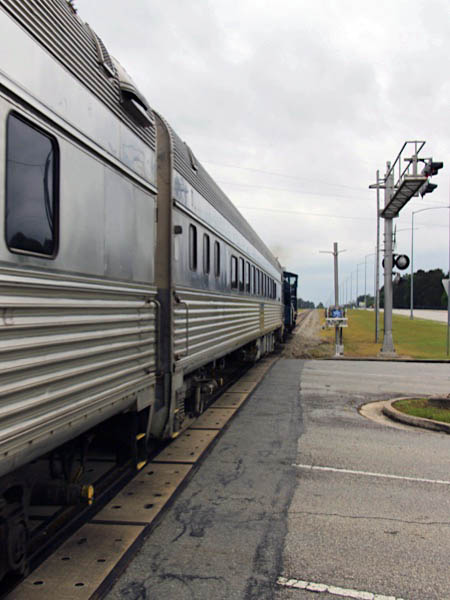
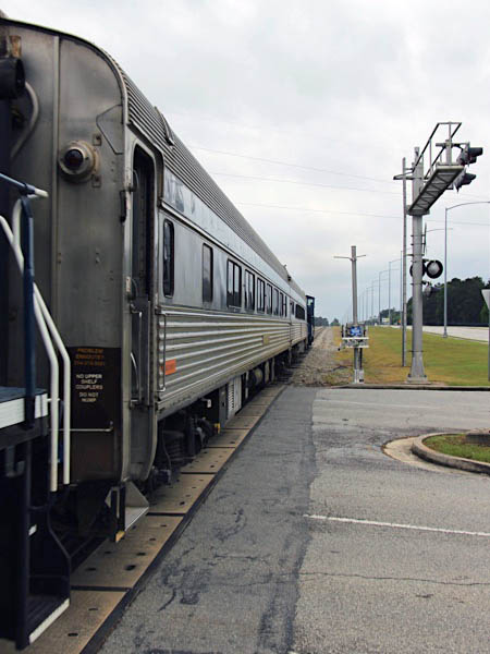
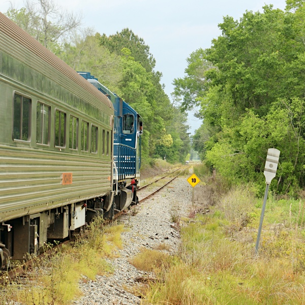
Barretts, Ga / Apr 2021 / RWH
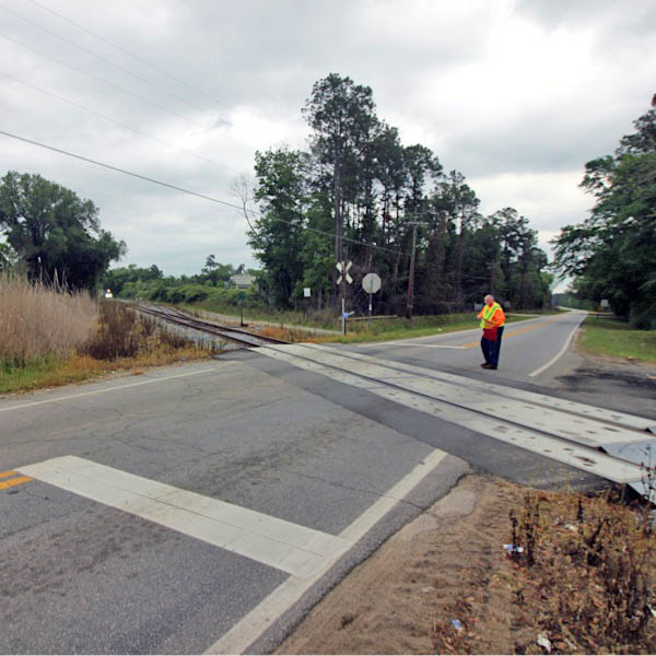
Click to see the New Bethel Road crossing plotted on a Google Maps page
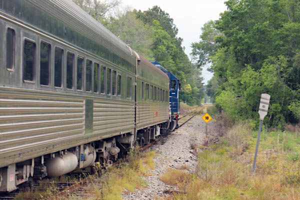
Barretts, Ga / Apr 2021 / RWH
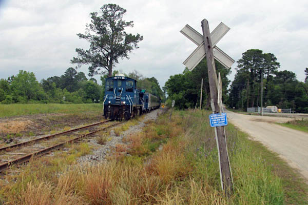
Barretts, Ga / Apr 2021 / RWH
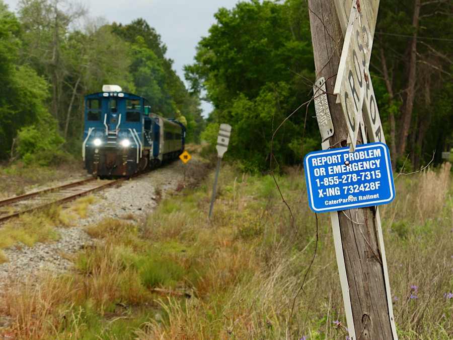
Barretts, Ga / Apr 2021 / RWH
Barretts, Ga / Apr 2021 / RWH
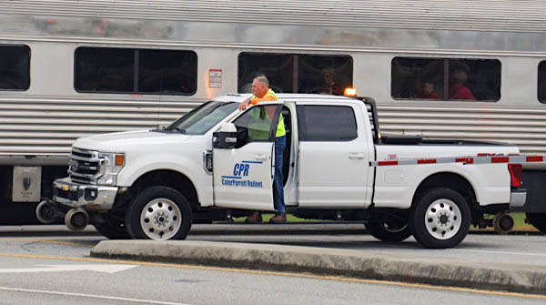
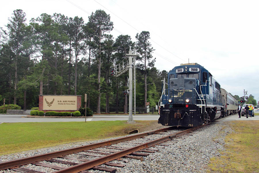
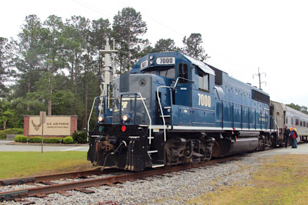
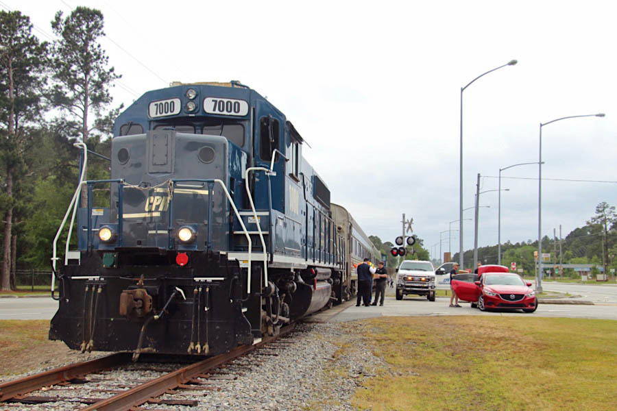
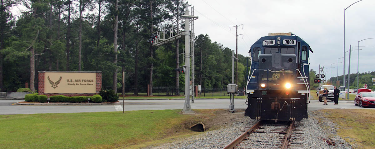
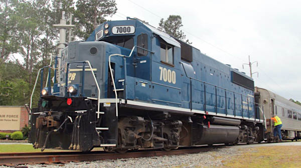
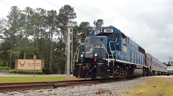
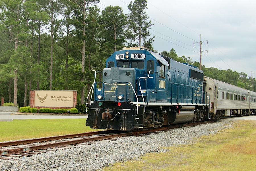
Moody Air Force Base
Valdosta, Ga / Apr 2021 / RWH
Valdosta, Ga / Apr 2021 / RWH
Valdosta, Ga / Apr 2021 / RWH
Valdosta, Ga / Apr 2021 / RWH
Click to see the Mitchell Boulevard crossing plotted on a Google Maps page
Valdosta, Ga / Apr 2021 / RWH
Valdosta, Ga / Apr 2021 / RWH
Valdosta, Ga / Apr 2021 / RWH
Valdosta, Ga / Apr 2021 / RWH
Valdosta, Ga / Apr 2021 / RWH
Valdosta, Ga / Apr 2021 / RWH
Valdosta, Ga / Apr 2021 / RWH
Valdosta, Ga / Apr 2021 / RWH
Valdosta, Ga / Apr 2021 / RWH
Valdosta, Ga / Apr 2021 / RWH
Valdosta, Ga / Apr 2021 / RWH
Valdosta, Ga / Apr 2021 / RWH
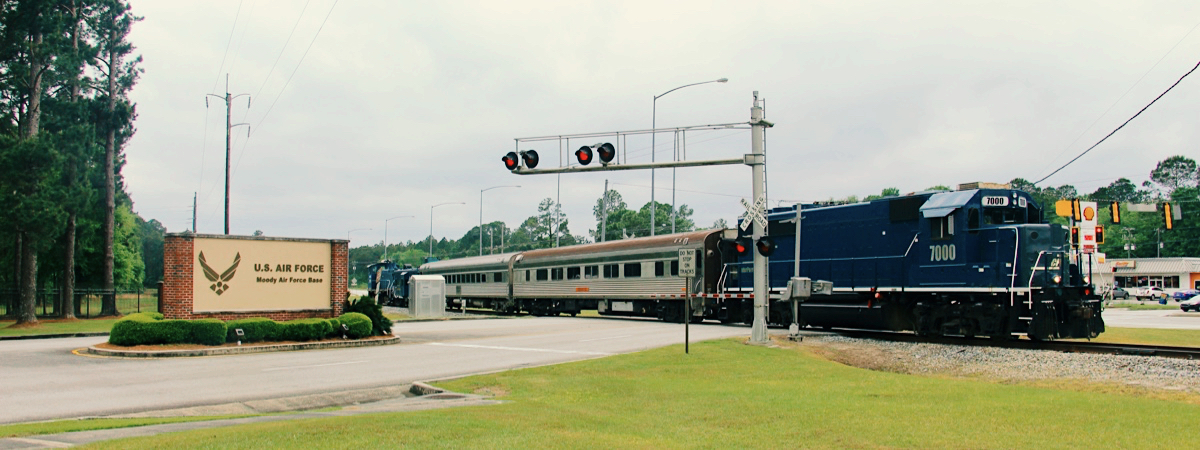
![]() Moody Air Force Base is located in south Georgia, just 30 miles north of the Florida border.
The Major Command at Moody is the Air Combat Command (ACC). The 23rd Wing is the home of the world famous "Flying Tigers", Combat Search and Rescue, and Security Forces warriors.
The 23rd Wing consists of "first in" combat search and rescue, close air support, forward air control, interdiction and force protection Airmen who conduct worldwide operations in support of US national security interests and the Global War on Terror.
Moody Air Force Base is located in south Georgia, just 30 miles north of the Florida border.
The Major Command at Moody is the Air Combat Command (ACC). The 23rd Wing is the home of the world famous "Flying Tigers", Combat Search and Rescue, and Security Forces warriors.
The 23rd Wing consists of "first in" combat search and rescue, close air support, forward air control, interdiction and force protection Airmen who conduct worldwide operations in support of US national security interests and the Global War on Terror.
Valdosta, Ga / Apr 2021 / RWH
Valdosta, Ga / Apr 2021 / RWH
Click to see the Robbins Road crossing plotted on a Google Maps page
Valdosta, Ga / Apr 2021 / RWH
Valdosta, Ga / Apr 2021 / RWH
Valdosta, Ga / Apr 2021 / RWH
Valdosta, Ga / Apr 2021 / RWH
Valdosta, Ga / Apr 2021 / RWH
Valdosta, Ga / Apr 2021 / RWH
Valdosta, Ga / Apr 2021 / RWH
Valdosta, Ga / Apr 2021 / RWH
Valdosta, Ga / Apr 2021 / RWH
Valdosta, Ga / Apr 2021 / RWH
Valdosta, Ga / Apr 2021 / RWH
Valdosta, Ga / Apr 2021 / RWH
Valdosta, Ga / Apr 2021 / RWH
Valdosta, Ga / Apr 2021 / RWH
Valdosta, Ga / Apr 2021 / RWH
Valdosta, Ga / Apr 2021 / RWH
Valdosta, Ga / Apr 2021 / RWH
Valdosta, Ga / Apr 2021 / RWH
Valdosta, Ga / Apr 2021 / RWH
Valdosta, Ga / Apr 2021 / RWH
Valdosta, Ga / Apr 2021 / RWH
Valdosta, Ga / Apr 2021 / RWH
Valdosta, Ga / Apr 2021 / RWH
Valdosta, Ga / Apr 2021 / RWH
Barretts
Barretts, Ga / Apr 2021 / RWH
Click to see the Hightower Road crossing plotted on a Google Maps page
Barretts, Ga / Apr 2021 / RWH
Barretts, Ga / Apr 2021 / RWH
Barretts, Ga / Apr 2021 / RWH
Barretts, Ga / Apr 2021 / RWH
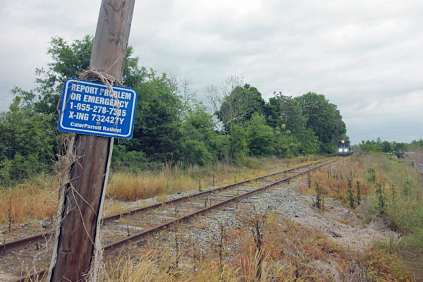
Barretts, Ga / Apr 2021 / RWH
Click to see the Jefferson Avenue / Route 122 crossing plotted on a Google Maps page
Barretts, Ga / Apr 2021 / RWH
Barretts, Ga / Apr 2021 / RWH
Barretts, Ga / Apr 2021 / RWH
Barretts, Ga / Apr 2021 / RWH
Barretts, Ga / Apr 2021 / RWH
Barretts, Ga / Apr 2021 / RWH
Barretts, Ga / Apr 2021 / RWH
Barretts, Ga / Apr 2021 / RWH
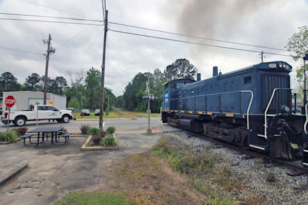
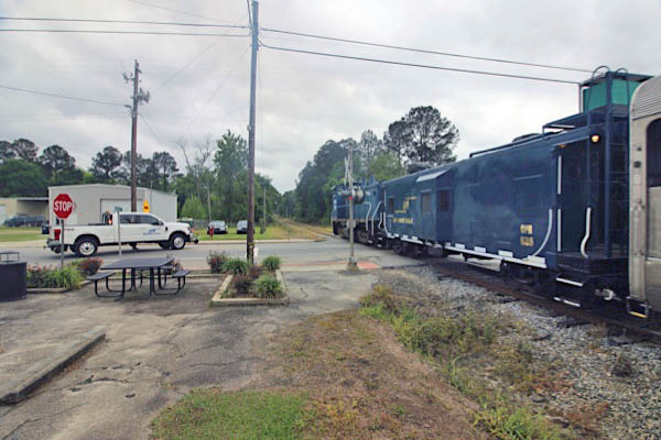
Ray City
Ray City, Ga / Apr 2021 / RWH
Ray City, Ga / Apr 2021 / RWH
Click to see the Pauline Avenue crossing plotted on a Google Maps page
Ray City, Ga / Apr 2021 / RWH
Ray City, Ga / Apr 2021 / RWH
Ray City, Ga / Apr 2021 / RWH
Ray City, Ga / Apr 2021 / RWH
Ray City, Ga / Apr 2021 / RWH
Ray City, Ga / Apr 2021 / RWH
Ray City, Ga / Apr 2021 / RWH
Ray City, Ga / Apr 2021 / RWH
Click to see the Main Street / US 129 crossing plotted on a Google Maps page
Ray City, Ga / Apr 2021 / RWH
Ray City, Ga / Apr 2021 / RWH
Ray City, Ga / Apr 2021 / RWH
Ray City, Ga / Apr 2021 / RWH
Ray City, Ga / Apr 2021 / RWH
Ray City, Ga / Apr 2021 / RWH
Ray City, Ga / Apr 2021 / RWH
Ray City, Ga / Apr 2021 / RWH
Ray City, Ga / Apr 2021 / RWH
Ray City, Ga / Apr 2021 / RWH
Ray City, Ga / Apr 2021 / RWH
Allenville
Allenville, Ga / Apr 2021 / RWH
Click to see the Ramblinwood Road crossing plotted on a Google Maps page
Allenville, Ga / Apr 2021 / RWH
Allenville, Ga / Apr 2021 / RWH
Allenville, Ga / Apr 2021 / RWH
Allenville, Ga / Apr 2021 / RWH
Allenville, Ga / Apr 2021 / RWH
Click to see the Sirmans Road crossing plotted on a Google Maps page
Allenville, Ga / Apr 2021 / RWH
Allenville, Ga / Apr 2021 / RWH
Allenville, Ga / Apr 2021 / RWH
Allenville, Ga / Apr 2021 / RWH
Allenville, Ga / Apr 2021 / RWH
Allenville, Ga / Apr 2021 / RWH
Allenville, Ga / Apr 2021 / RWH
Allenville, Ga / Apr 2021 / RWH
Allenville, Ga / Apr 2021 / RWH
Allenville, Ga / Apr 2021 / RWH
Allenville, Ga / Apr 2021 / RWH
Allenville, Ga / Apr 2021 / RWH
Apr 2021 / RWH
Allenville, Ga / Apr 2021 / RWH
Allenville, Ga / Apr 2021 / RWH
Allenville, Ga / Apr 2021 / RWH
Click to see the Lang Ford Road crossing plotted on a Google Maps page
Allenville, Ga / Apr 2021 / RWH
Allenville, Ga / Apr 2021 / RWH
Route 129 chase
Allenville, Ga / Apr 2021 / RWH
Allenville, Ga / Apr 2021 / RWH
Allenville, Ga / Apr 2021 / RWH
Allenville, Ga / Apr 2021 / RWH
Nashville
Nashville, Ga / Apr 2021 / RWH
Click to see the Vickers Road crossing plotted on a Google Maps page
Nashville, Ga / Apr 2021 / RWH
Nashville, Ga / Apr 2021 / RWH
Nashville, Ga / Apr 2021 / RWH
Nashville, Ga / Apr 2021 / RWH
Nashville, Ga / Apr 2021 / RWH
Click to see the Nashville Mills Road crossing plotted on a Google Maps page
Nashville, Ga / Apr 2021 / RWH
Nashville, Ga / Apr 2021 / RWH
Nashville, Ga / Apr 2021 / RWH
Nashville, Ga / Apr 2021 / RWH
Nashville, Ga / Apr 2021 / RWH
Apr 2021 / RWH
Nashville, Ga / Apr 2021 / RWH
Click to see the Washington Avenue crossing plotted on a Google Maps page
Nashville, Ga / Apr 2021 / RWH
Nashville, Ga / Apr 2021 / RWH
Nashville, Ga / Apr 2021 / RWH
Nashville, Ga / Apr 2021 / RWH
Nashville, Ga / Apr 2021 / RWH
Nashville, Ga / Apr 2021 / RWH
Nashville, Ga / Apr 2021 / RWH
Nashville, Ga / Apr 2021 / RWH
Nashville, Ga / Apr 2021 / RWH
Nashville, Ga / Apr 2021 / RWH
Nashville, Ga / Apr 2021 / RWH
Nashville, Ga / Apr 2021 / RWH
Nashville, Ga / Apr 2021 / RWH
Nashville, Ga / Apr 2021 / RWH
Nashville, Ga / Apr 2021 / RWH