
 Genesee Valley Greenway

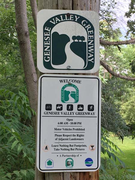
Like other abandoned towpaths and rail beds across the country, the Genesee Valley Greenway provides opportunities for public recreation, an off-road link to communities, parks, other trails, attractions in the region and preservation of open space and the natural and cultural resources in the corridor. The continuity of the corridor creates a 'tunnel of green' and acts as a physical link between adjacent habitats providing an important bridge for organisms.
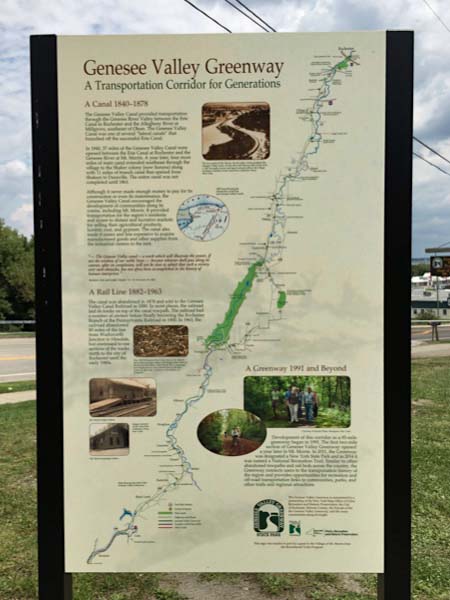
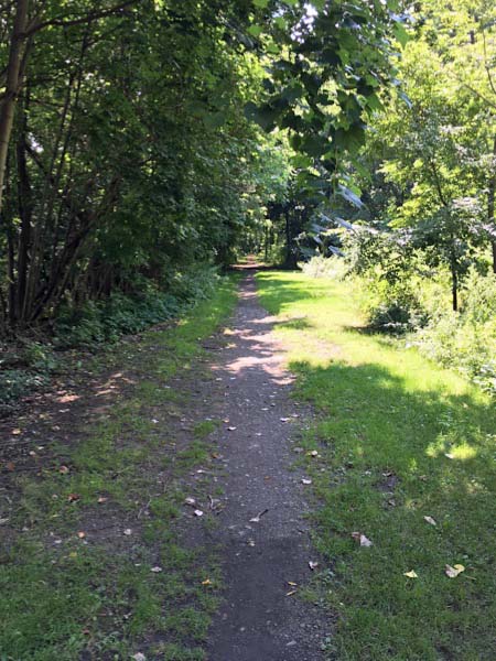
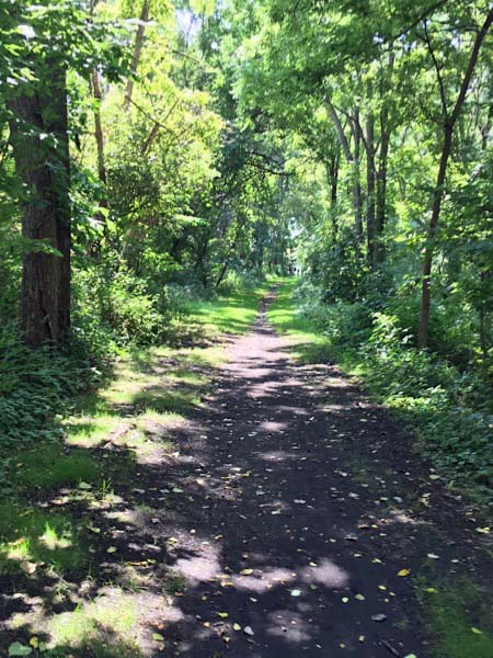
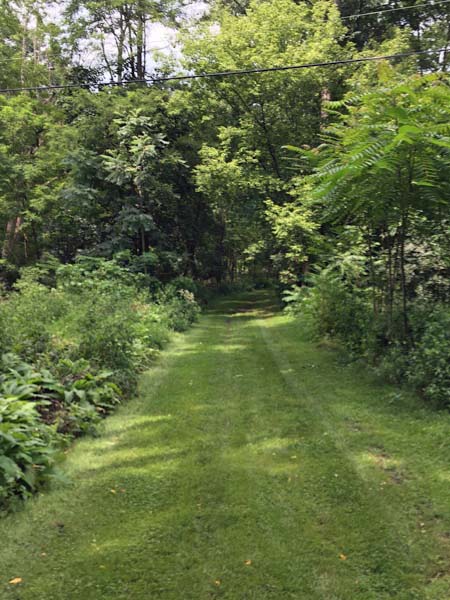
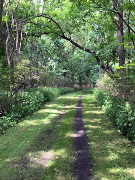
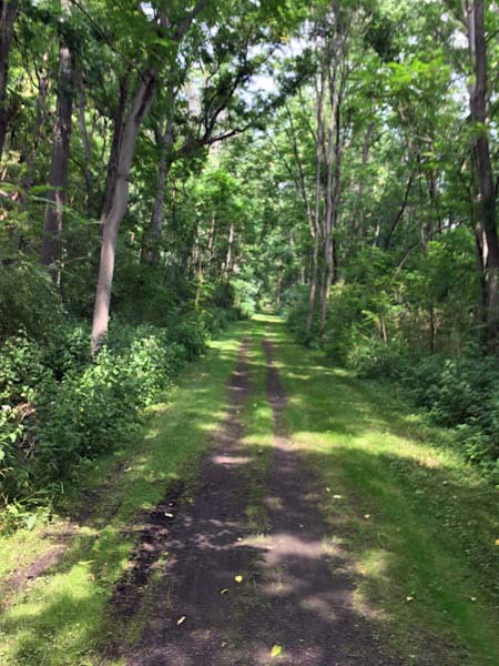
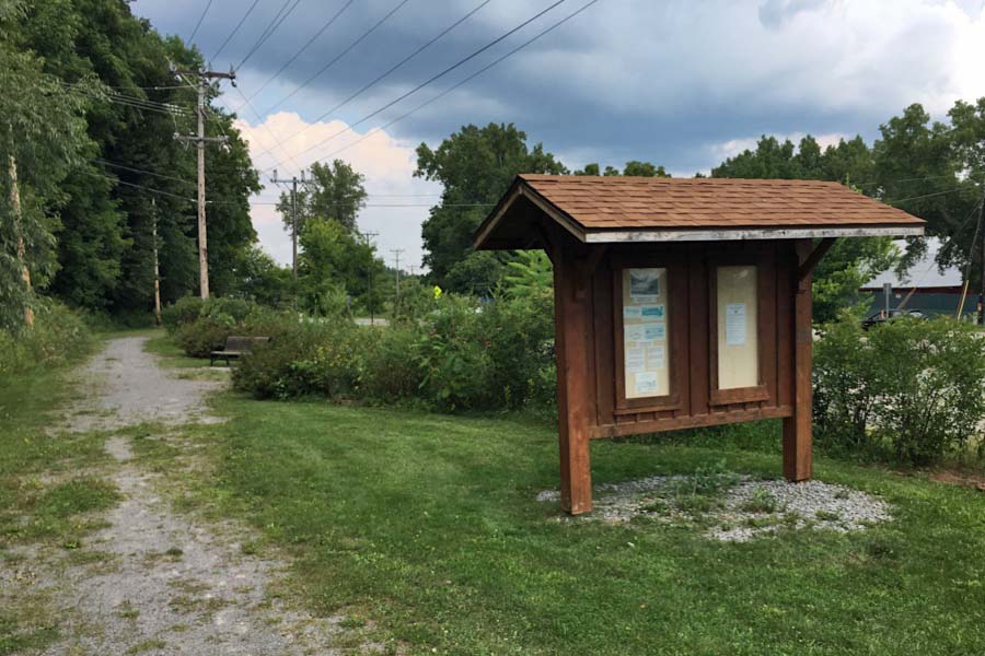
 The Genesee Valley Greenway State Park is a 90-mile rails-to-trails path that follows the route of the Genesee Valley Canal (1840-1878) and the Pennsylvania Railroad's former Rochester Branch (1882-1963) from the Genesee Valley Park in Rochester, NY, south to the village of Cuba, NY, in Allegany County.
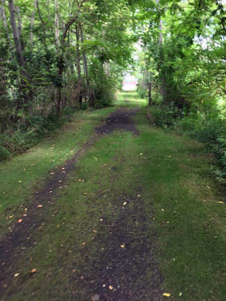
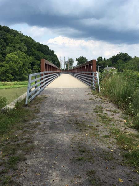
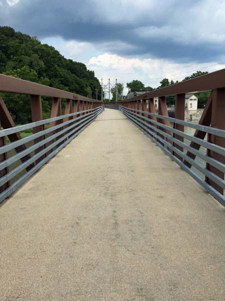
The majority of the GVG trail is on the former Pennsy railway bed and is a straight, level surface consisting of cinders, gravel, and grass. The trail passes through woodlands, wetlands, river and stream valleys, rolling farmlands, gorges, and historic villages in sixteen towns located in Monroe, Livingston, Wyoming, Allegany, and Cattaraugus counties.
The Genesee Valley Greenway State Park is a 90-mile rails-to-trails path that follows the route of the Genesee Valley Canal (1840-1878) and the Pennsylvania Railroad's former Rochester Branch (1882-1963) from the Genesee Valley Park in Rochester, NY, south to the village of Cuba, NY, in Allegany County.
The majority of the GVG trail is on the former Pennsy railway bed and is a straight, level surface consisting of cinders, gravel, and grass. The trail passes through woodlands, wetlands, river and stream valleys, rolling farmlands, gorges, and historic villages in sixteen towns located in Monroe, Livingston, Wyoming, Allegany, and Cattaraugus counties.
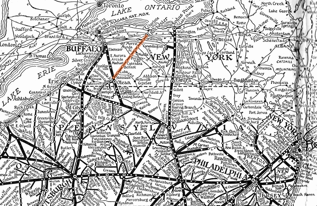
PRR system map / Rochester branch highlighted / collection
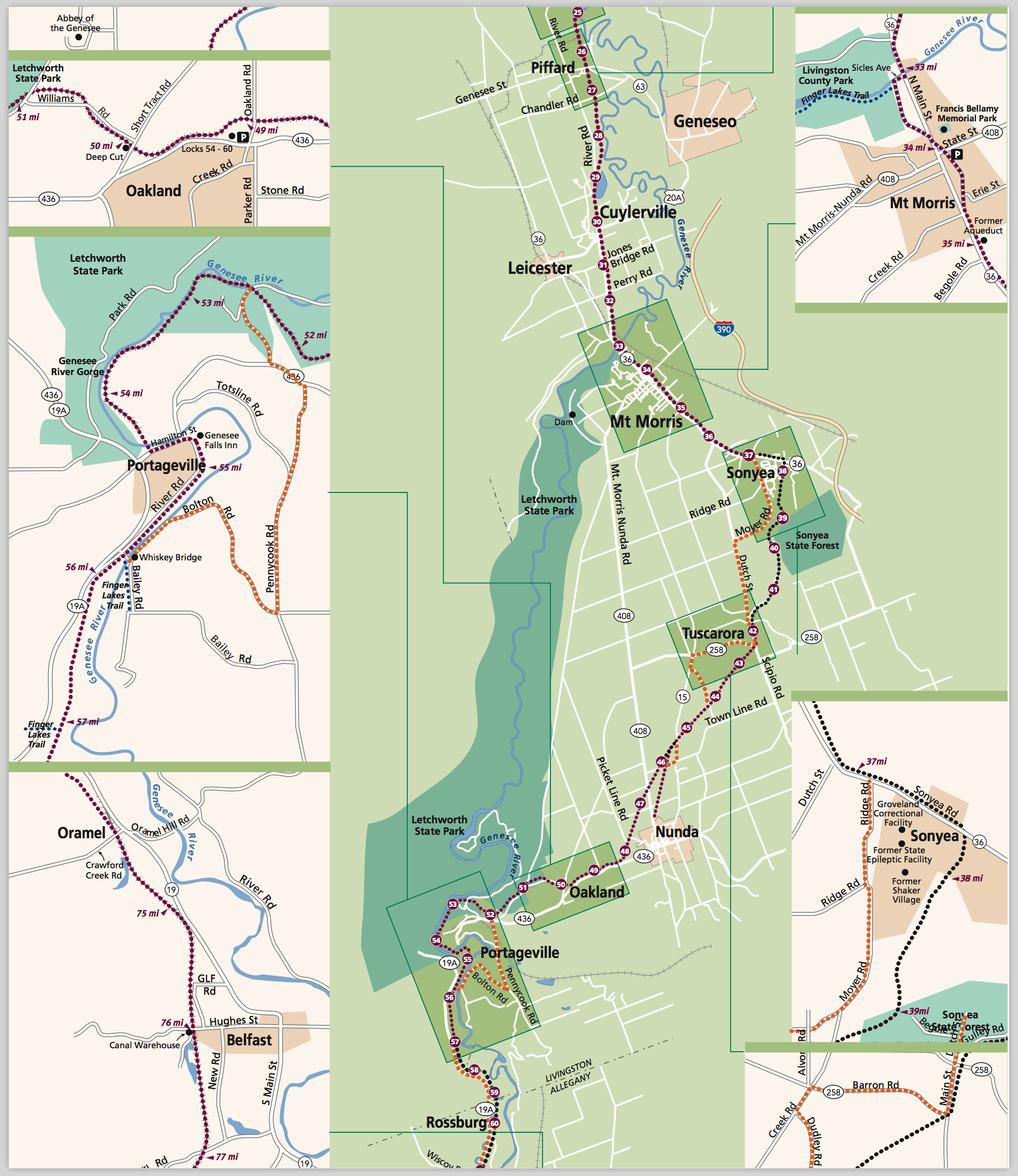
GVG central section map / web
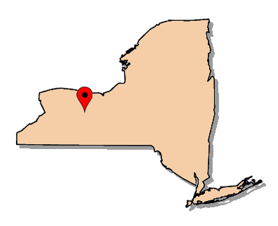
 Livingston County, NY
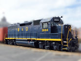
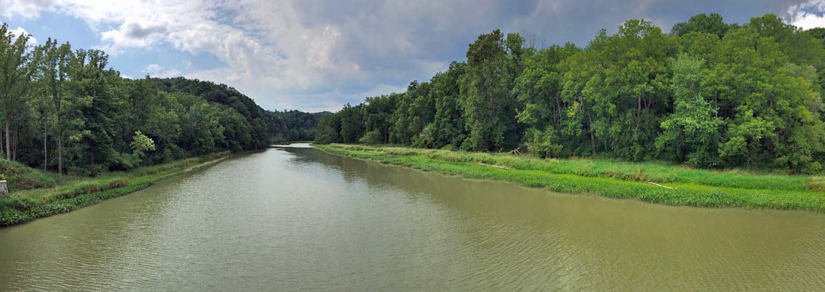
Mt Morris, NY / Aug 2017 / RWH
RWH
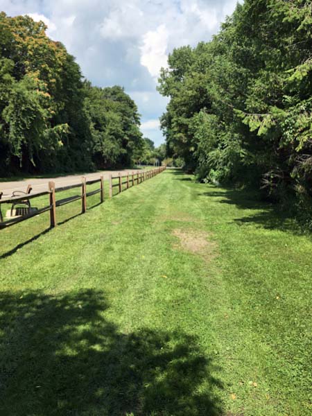
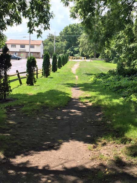
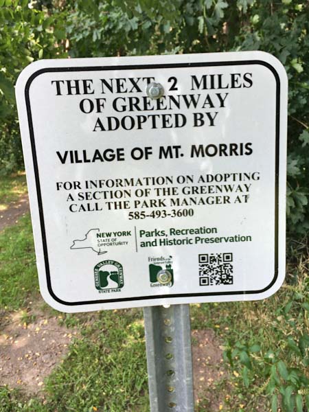
Mt Morris, NY / Aug 2017 / RWH
Mt Morris, NY / Aug 2017 / RWH
RWH
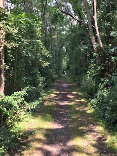
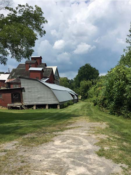
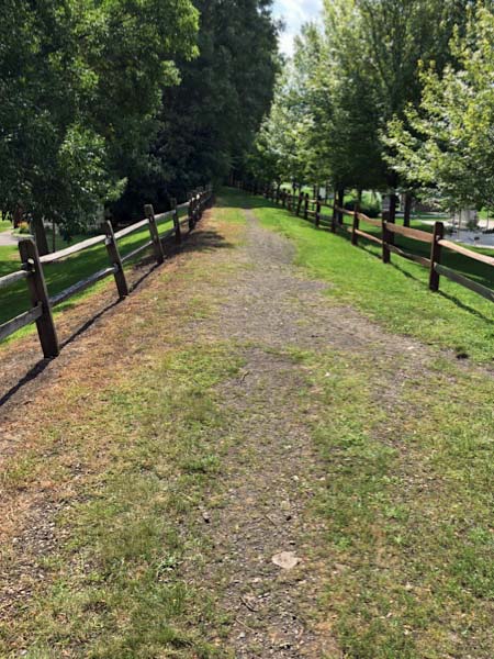
Mt Morris, NY / Aug 2017 / RWH
Mt Morris, NY / Aug 2017 / RWH
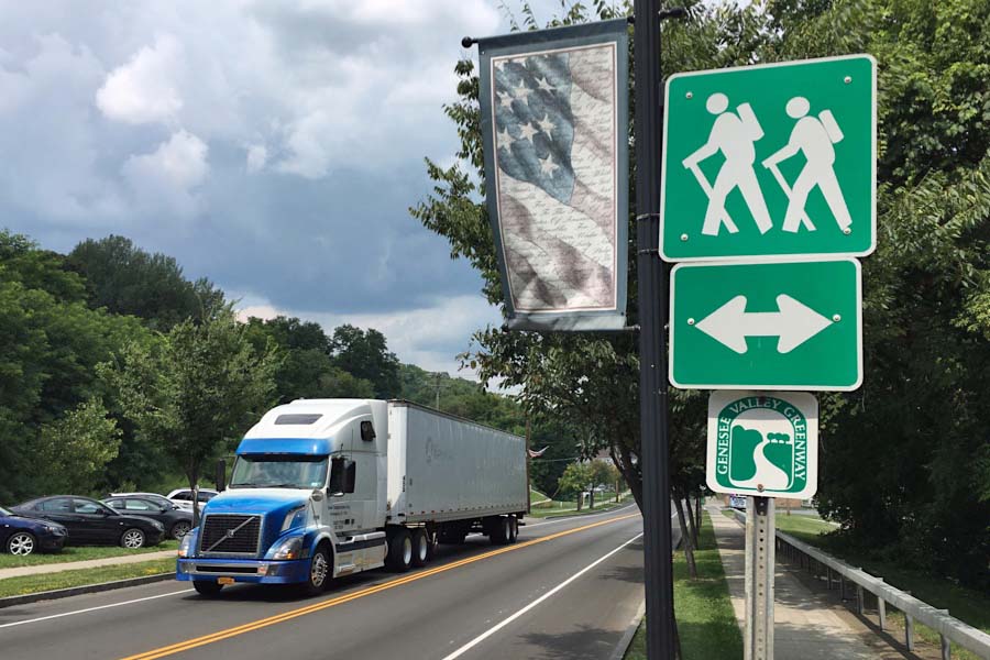
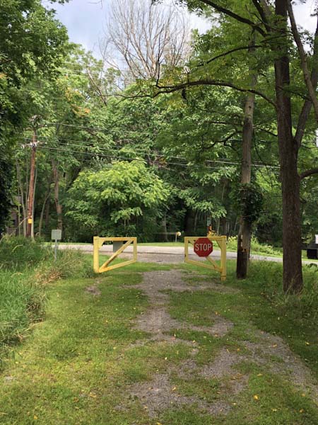
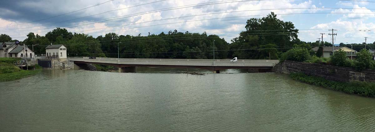
Route 36 crossing / Mt Morris, NY / Aug 2017 / RWH
Click to see this location plotted on a Google Maps page
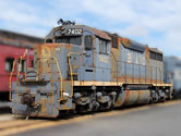
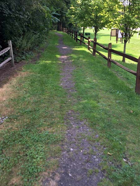
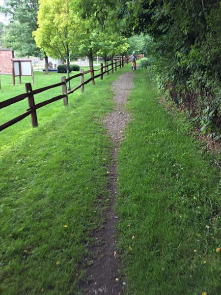
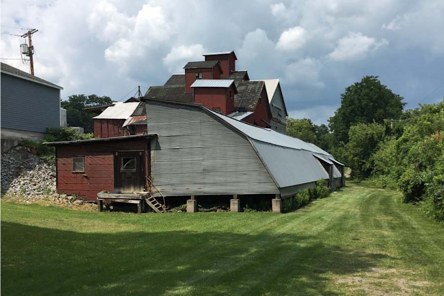
Mt Morris, NY / Aug 2017 / RWH

Mt Morris, NY / Aug 2017 / RWH
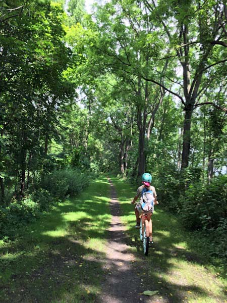
Mt Morris, NY / Aug 2017 / RWH
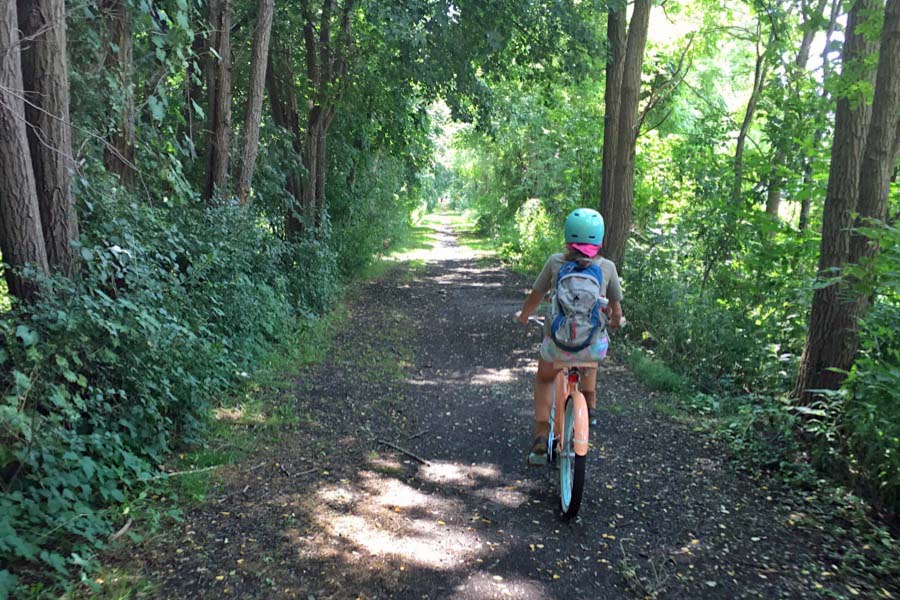
Mt Morris, NY / Aug 2017 / RWH
Mt Morris, NY / Aug 2017 / RWH
Click to see the Genesee River crossing area plotted on a Google Maps page
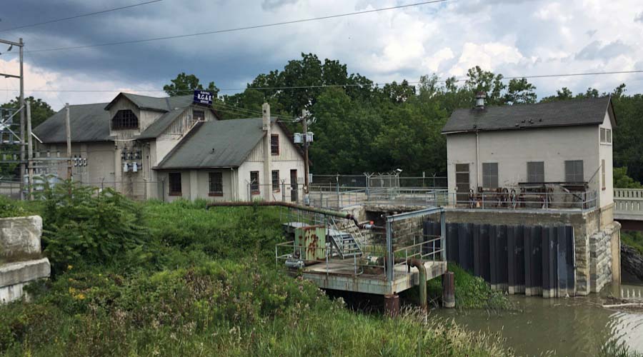
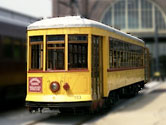
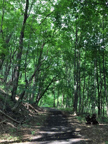
Mt Morris, NY / Aug 2017 / RWH
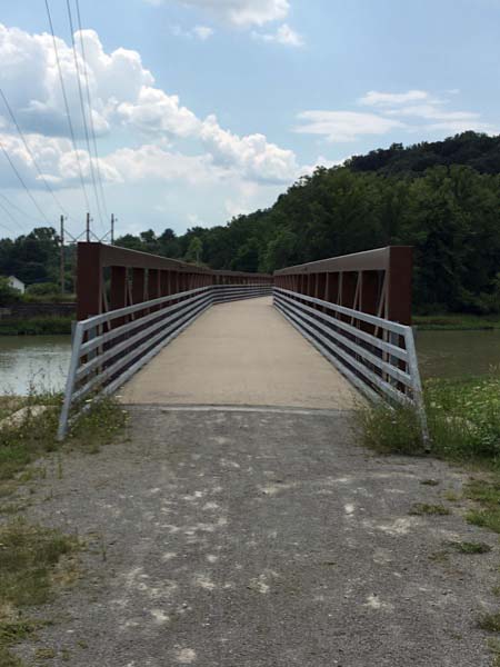
Mt Morris, NY / Aug 2017 / RWH
Mt Morris, NY / Aug 2017 / RWH
Links / Sources
- Genesee Valley Greenway State Park official webpage
- Friends of Genesee Valley Greenway
- Wikipedia article for Genesee Valley Greenway